


Town Jojutla, Morelos Municipality of Jojutla Southern Morelos
Market town of southern Morelos, 45 km from Cuernavaca: the Señor de Tula fair in January, local rice and Lake Tequesquitengo 10 km away.
From Cuernavaca: 40 min by car (41 km by road) How to get there ↓
Near here




Plan your visit to Jojutla de Juárez
Where to stay near Jojutla de Juárez
Compare hotels, posadas and guest houses in Jojutla de Juárez.
Tours to Jojutla de Juárez
Day trips around Tlaltizapán sometimes stop in Jojutla de Juárez; a tour is the easy way to see it without a car.
 Tours from Cuernavaca
3hr Cooking Class in Cuernavaca 8 Recipes and Bottomless Drinks
From US$59
How to get to Jojutla de Juárez
- From Cuernavaca: about 40 min by road (~41 km)
- Nearest airport: Mexico City (MEX), 1 h 55 min by car to Tlaltizapán
Links open a partner site. We may earn a commission if you book, at no cost to you.
Tours from Cuernavaca, near Jojutla de Juárez


Tours, prices and ratings from Viator, checked weekly. We may earn a commission if you book.
About Jojutla de Juárez
Jojutla takes its name from the Nahuatl Xoxoutla, linked to the colour blue: a dye plant, indigo, was grown here. The seat of Jojutla municipality, at 882 m, had 57,682 people in 2020 and lies about 45 km south of Cuernavaca in hot, cane-growing country, with the Apatlaco River running through town.
The Spanish reached what they called San Miguel Xoxutla around 1522. On 16 July 1616 the Our Lady of Guadalupe bridge over the Apatlaco opened on the royal road between Mexico City and Acapulco, and a Sunday market grew up beside it, making Jojutla the trading centre of the south, as it still is. Ricardo Sánchez brought rice cultivation here in 1836, the town became a municipality in 1847 and the railway arrived in 1890.
Local devotion centres on the Señor de Tula, a black Christ said to have been found in 1722 in the reed beds of the San Gabriel Las Palmas hacienda. Its first feast was held on 14 September 1723; today it is honoured at the New Year fair from 1 to 10 January, the town's biggest event, close to 300 years old. The image is kept in the parish church of San Miguel Arcángel, whose atrium is known as the Plaza de Arriba.
The earthquake of 19 September 2017 hit Jojutla harder than anywhere else in Morelos: at least 73 people died, 652 homes were destroyed and the town hall was damaged. One oddity: since 2006 a 19 km crater on Mars has carried the name Jojutla. A rice fair is held in June.
How to get to Jojutla de Juárez
Drive from Cuernavaca: 40 min, 41 km
Cuernavaca is about 40 km away by road, around 40 minutes by car. Pullman de Morelos buses leave Cuernavaca's Casino terminal for Jojutla roughly every hour and take about an hour. From Mexico City, Pullman de Morelos runs about hourly from the Central del Sur (Taxqueña, Metro Line 2) from early morning until about 10 pm, a trip of around 2 h 30 min; its Jojutla office is at Calle Francisco Leyva 101, in the centre. Tequesquitengo is 10 km away and Tehuixtla 15 km. Tlaltizapán, the nearest pueblo in this guide, is about 9 km away in a straight line; Cuautla is about 35 km in a straight line.
Directions to Jojutla de Juárez on Google Maps
Distances are in a straight line; the road is usually longer.
Links open a partner site. We may earn a commission if you book, at no cost to you.
From the nearest cities to Jojutla de Juárez
- Cuernavaca · 41 km by road, 40 min
- Cuautla · 49 km by road, 45 min
- Taxco · 64 km by road, 1 h 10 min
Drive times by road from OpenStreetMap, without traffic or stops. Times marked ~ are estimated from the straight-line distance.
What to see in Jojutla de Juárez 4
Sights with their own page, closest to the centre first.
-
Parroquia de San Miguel Arcángel · Landmark · in the centre
Jojutla's central parish; the 2017 quake brought the church down and the brick-vaulted Señor de Tula sanctuary was built in its place. -
Balneario El Paraíso · Landmark · 2 km from the centre
Small, older family waterpark on the edge of Jojutla, on the old road to El Vivero; Wikivoyage lists it open 9:00 to 18:00. -
El Rollo · Landmark · 3 km from the centre
Water park at Gabriel Tepepa on the Yautepec river, with slides, a wave pool and the cylindrical tower that gave it its name. -
Aqua Splash · Landmark · 4 km from the centre
Water park on the Jojutla-Tequesquitengo road with eight pools, slides, camping and villas; MXN 160 adult entry.
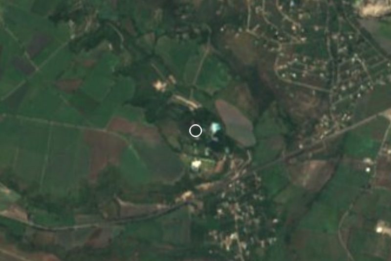
Map of Jojutla de Juárez
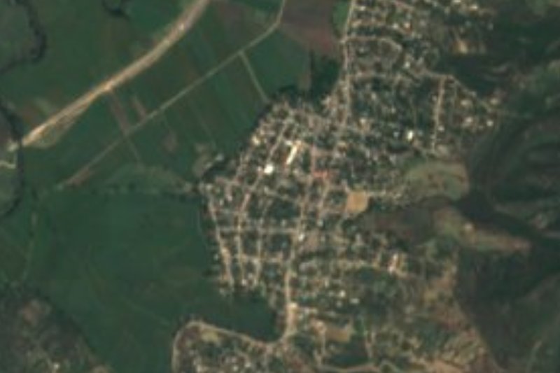
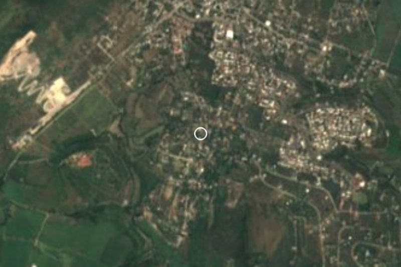
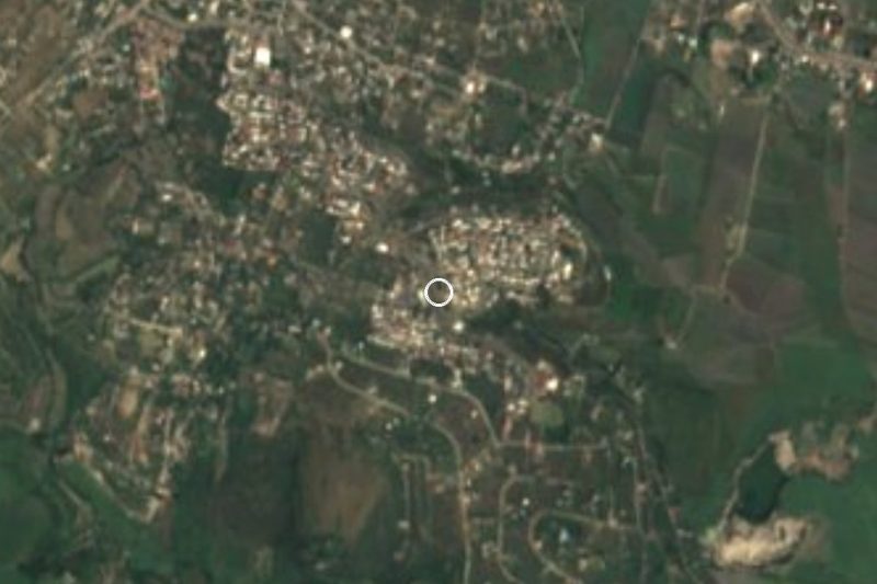
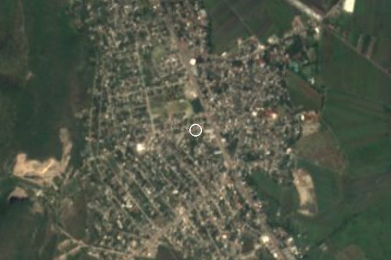
Neighbourhoods and villages of Jojutla de Juárez
Part of Jojutla de Juárez or just outside it, closest first.
-
Villas de Jojutla · Village · 1 km from the centre
A newer housing development between Jojutla and Tlaquiltenango that grew from 196 to 1,625 residents in ten years. -
Pedro Amaro · Village · 2 km from the centre
Locality in Jojutla about 2 km from the town centre, with 5,748 people in 2020; hot southern Morelos, with no tourist sights of its own. -
Tlatenchi · Village · 2 km from the centre
Cattle-and-crop village on Jojutla's outskirts, one of the municipality's four original pueblos; its fiesta is on 8 September. -
Los Venados · Village · 3 km from the centre
Housing-estate settlement in Jojutla at 912 m, next to Tlatenchi and a short drive from Lake Tequesquitengo. -
Tlaquiltenango · Town · 3 km from the centre
A town just south with a 16th-century convent whose cloister walls hold fragments of the Tlaquiltenango Codex. -
Valle Dorado · Village · 3 km from the centre
Small settlement on the western edge of Jojutla, about 2.5 km from the town centre, in the rice and sugarcane country of southern Morelos. -
Higuerón · Village · 4 km from the centre
Jojutla locality of over 5,000 people with a St Francis of Assisi church and a feast on 4 October; the Yautepec river runs by. -
Jicarero · Village · 4 km from the centre
Ayudantía of Jojutla about 5 km west of the town centre, known for its Flag Day celebration every February. -
José María Morelos y Pavón · Village · 4 km from the centre
Jojutla locality 4.5 km west of the town centre at 942 m; 3,244 residents in 2020, down from a 1990 peak. -
San Nicolás Galeana · Village · 4 km from the centre
Former San Nicolás hacienda, now a town of 11,322 people 2.6 km from Zacatepec, one of the three communities that formed the municipality. -
Zacatepec de Hidalgo · Village · 4 km from the centre
Seat of Zacatepec municipality at 917 m: a sugar-cane town with a mill since 1938 and the stadium of the historic Cañeros football club.



Day trips and tours from Jojutla de Juárez
The closest Pueblos Mágicos and places to visit, with the drive from Jojutla de Juárez and tours that leave from it.





Times marked ~ are estimated from the distance. Links open a partner site. We may earn a commission if you book, at no cost to you.
Before you go: getting to and around Jojutla de Juárez
- The nearest airport is Mexico City (MEX).
- The best months to go are January, October, November, and December.
- 6 of the places on this page are more than 3 km from the centre: take a taxi, a ride-hailing app or a local bus.
- For day trips a rental car gives the most freedom; the tours above leave from Jojutla de Juárez.
Before you go to Jojutla de Juárez: hours, prices and tips
- Best season
- The New Year fair for the Señor de Tula, Jojutla's biggest festival, runs from 1 to 10 January; the seven-day Rice Fair is held in June. Wikipedia · checked Oct 2026
Hours and prices change, especially around holidays. Each fact links to where we checked it.
Visiting Jojutla de Juárez: what to see and do
See the Señor de Tula in the parish church of San Miguel Arcángel, on the Plaza de Arriba.
Walk the zócalo and the town hall, whose staircase holds remains of a pyramid.
Stroll the Alameda, the shady park in the centre.
Come for the New Year fair, 1 to 10 January.
Try the local rice, grown here since 1836.
Head to Lake Tequesquitengo, 10 km away, for water skiing or diving.
Plan your trip
Places to stay in Jojutla de Juárez
Compare hotels, posadas, and rentals in and around Jojutla de Juárez.
Tours & activities
Day trips around Tlaltizapán sometimes stop in Jojutla de Juárez; a tour is the easy way to see it without a car.
Rental cars
Pick up a car at MEX (Mexico City): about 1 h 55 min by road to Tlaltizapán, then 9 km more to Jojutla de Juárez, on your own schedule.
Flights
The nearest airport with scheduled flights is Mexico City (MEX), about 1 h 55 min by road from Tlaltizapán, the base for Jojutla de Juárez.
Mobile data
Signal can drop away from Tlaltizapán: download a map of the way to Jojutla de Juárez before you set out, or carry an eSIM with data.
Links open a partner site. We may earn a commission if you book, at no cost to you.
Photos
When to go to Jojutla de Juárez warm
Jojutla de Juárez shares the climate of Tlaltizapán, 9 km away. The best months to visit are January, October, November, and December.
See the month-by-month climate of Tlaltizapán
Weather in Jojutla de Juárez now and the next 7 days
Live forecast from Open-Meteo. Chance of rain is the day's highest.
The closest Pueblo Mágico: Tlaltizapán

Tlaltizapán is the Pueblo Mágico closest to Jojutla de Juárez, with places to stay, food, and more to see.
Also close to
- Xochitepec · Morelos · 24 km away
- Tepoztlán · Morelos · 42 km away
- Tlayacapan · Morelos · 43 km away
- Taxco · Guerrero · 45 km away
- Malinalco · Estado de México · 50 km away
Near Jojutla de Juárez
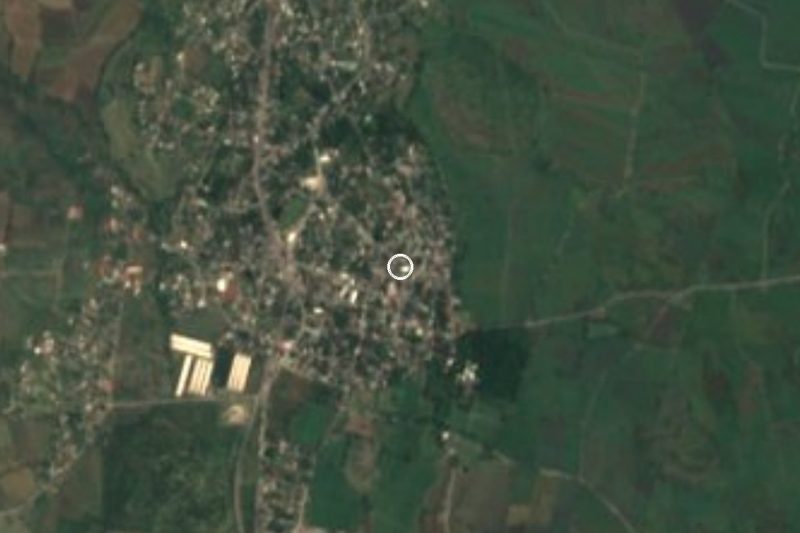


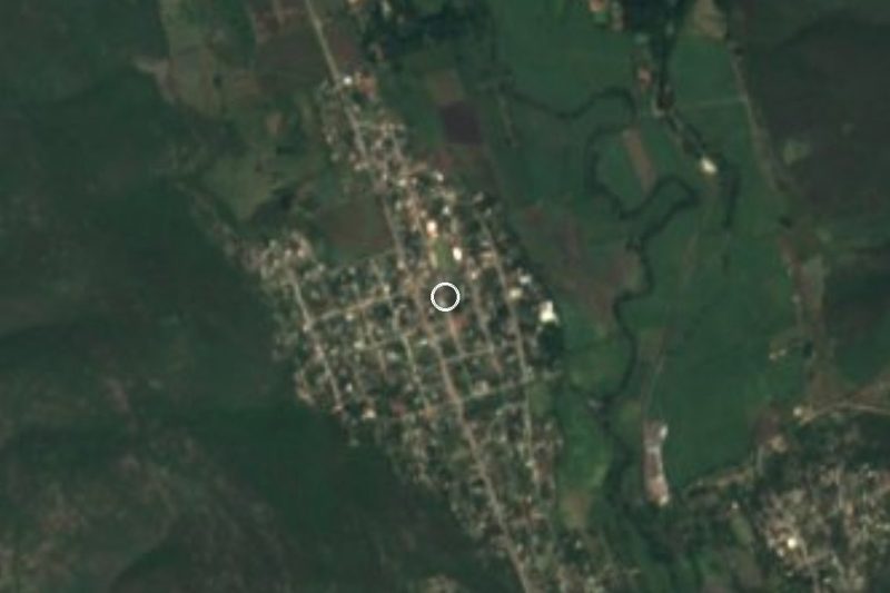

Drive times by road from OpenStreetMap, without traffic. Times marked ~ are estimated from the straight-line distance.
Location from OpenStreetMap. Written by Puebloteca.