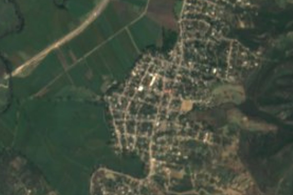
Village Jojutla, Morelos Municipality of Jojutla Southern Morelos
Jojutla locality of over 5,000 people with a St Francis of Assisi church and a feast on 4 October; the Yautepec river runs by.
From Cuernavaca: 50 min by car (44 km by road) How to get there ↓
Near here
See everything nearby ↓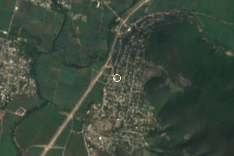


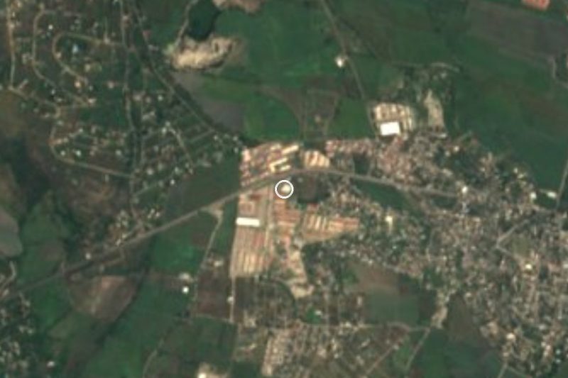


Plan your visit to Higuerón
Where to stay near Higuerón
Compare hotels, posadas and guest houses in Higuerón.
Tours to Higuerón
Day trips and guided outings from Tlaltizapán often include Higuerón; with a local guide you can get there without a car.
 Tours from Cuernavaca
3hr Cooking Class in Cuernavaca 8 Recipes and Bottomless Drinks
From US$59
How to get to Higuerón
- From Cuernavaca: about 50 min by road (~44 km)
- Nearest airport: Mexico City (MEX), 1 h 55 min by car to Tlaltizapán
Links open a partner site. We may earn a commission if you book, at no cost to you.
Tours from Cuernavaca, near Higuerón


Tours, prices and ratings from Viator, checked weekly. We may earn a commission if you book.
About Higuerón
Higuerón is a locality in the municipality of Jojutla, in southern Morelos, at about 895 metres above sea level. With 5,015 residents in 2020 it is considerably more than a hamlet: INEGI counted 489 in 1910, 931 in 1950, 2,073 in 1970, 3,775 in 1990 and 4,568 in 2010. Growth was steady for over a century.
The village has a church dedicated to St Francis of Assisi, according to OpenStreetMap, and English Wikipedia's Jojutla article lists the Feast of St Francis of Assisi on 4 October in Higuerón among the municipal festivals. The map also shows two primary schools and a telesecundaria (Tierra y Libertad), a medical centre and a green space called Parque Higuerón, which gives the picture of a village with a daily life of its own rather than a scatter of houses.
The Yautepec river passes here. Wikipedia's article on the municipality of Yautepec says that on entering Tlaltizapán the river changes its name and is called the Higuerón. The area is also crossed by a state road, MOR 39 from Jojutla to El Higuerón, and by the Mexico 94D toll motorway, which OpenStreetMap labels Jantetelco-El Higuerón.
How to get to Higuerón
Drive from Cuernavaca: 50 min, 44 km
Higuerón is about 4 km in a straight line from Jojutla town, and state road MOR 39, labelled "Jojutla-El Higuerón" on OpenStreetMap, links the two. From Cuernavaca drive down the Autopista del Sol (95D) to the Jojutla exit, roughly 55 km by road from Cuernavaca (approximate), then take MOR 39. The Mexico 94D toll motorway, labelled Jantetelco-El Higuerón on the map, arrives from the east and connects with Cuautla, the nearest city on the list (38 km in a straight line, about 45 minutes). Tlaltizapán, the nearest pueblo, is about 13 km away. We found no published public-transport lines or schedules, so ask in central Jojutla.
Directions to Higuerón on Google Maps
Distances are in a straight line; the road is usually longer.
Links open a partner site. We may earn a commission if you book, at no cost to you.
From the nearest cities to Higuerón
- Cuernavaca · 44 km by road, 50 min
- Cuautla · 52 km by road, 50 min
- Taxco · 70 km by road, 1 h 15 min
Drive times by road from OpenStreetMap, without traffic or stops. Times marked ~ are estimated from the straight-line distance.
Before you go to Higuerón: hours, prices and tips
- Best season
- Feast of St Francis of Assisi, 4 October. Wikipedia, Jojutla (festival calendar) · checked Oct 2026
Hours and prices change, especially around holidays. Each fact links to where we checked it.
Visiting Higuerón: what to see and do
Church of St Francis of Assisi
Parque Higuerón
The Yautepec river, which takes the name Higuerón in this area
Feast of St Francis of Assisi, 4 October
Plan your trip
Places to stay in Higuerón
Compare hotels, posadas, and rentals in and around Higuerón.
Tours & activities
Day trips and guided outings from Tlaltizapán often include Higuerón; with a local guide you can get there without a car.
Rental cars
Pick up a car at MEX (Mexico City): about 1 h 55 min by road to Tlaltizapán, then 13 km more to Higuerón, on your own schedule.
Flights
The nearest airport with scheduled flights is Mexico City (MEX), about 1 h 55 min by road from Tlaltizapán, the base for Higuerón.
Mobile data
Signal can drop away from Tlaltizapán: download a map of the way to Higuerón before you set out, or carry an eSIM with data.
Links open a partner site. We may earn a commission if you book, at no cost to you.
When to go to Higuerón warm
Higuerón shares the climate of Tlaltizapán, 13 km away. The best months to visit are January, October, November, and December.
See the month-by-month climate of Tlaltizapán
Weather in Higuerón now and the next 7 days
Live forecast from Open-Meteo. Chance of rain is the day's highest.
The closest Pueblo Mágico: Tlaltizapán

Tlaltizapán is the Pueblo Mágico closest to Higuerón, with places to stay, food, and more to see.
Also close to
- Xochitepec · Morelos · 28 km away
- Taxco · Guerrero · 45 km away
- Tepoztlán · Morelos · 46 km away
- Tlayacapan · Morelos · 47 km away
- Malinalco · Estado de México · 53 km away
Closest to Higuerón
-
Pedro Amaro · Village · 2 km away
-
Tlatenchi · Village · 2 km away
-
Los Venados · Village · 3 km away
-
Valle Dorado · Village · 3 km away
-
Balneario El Paraíso · Landmark · 4 km away
-
Jojutla de Juárez · Town · 4 km away
-
Parroquia de San Miguel Arcángel · Landmark · 4 km away
-
Aqua Splash · Landmark · 5 km away

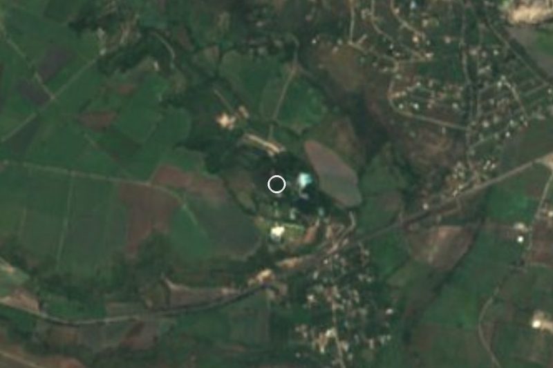
Near Higuerón

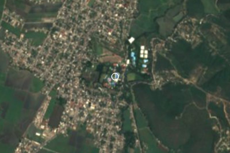



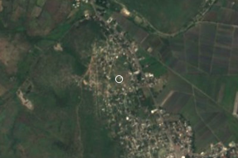
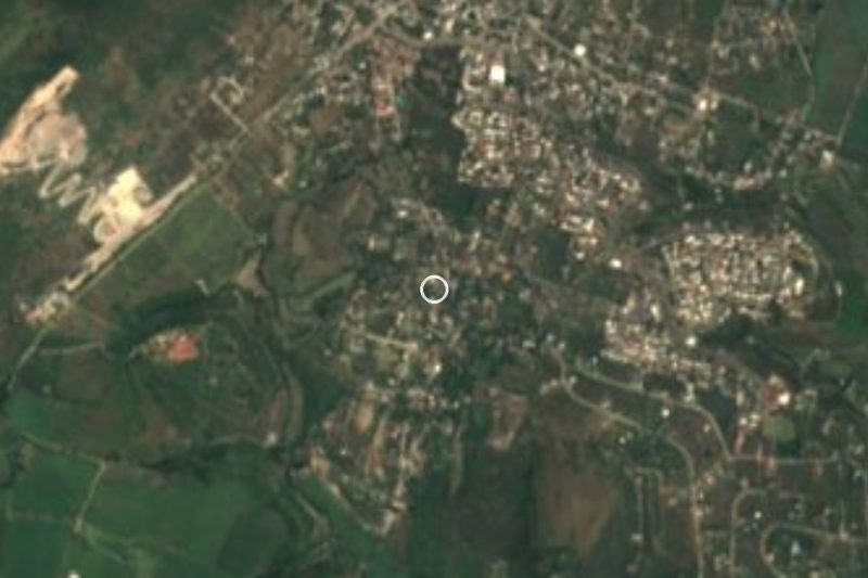
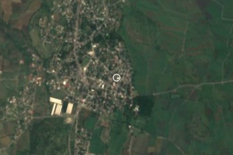

Drive times by road from OpenStreetMap, without traffic. Times marked ~ are estimated from the straight-line distance.
Location from OpenStreetMap. Written by Puebloteca.