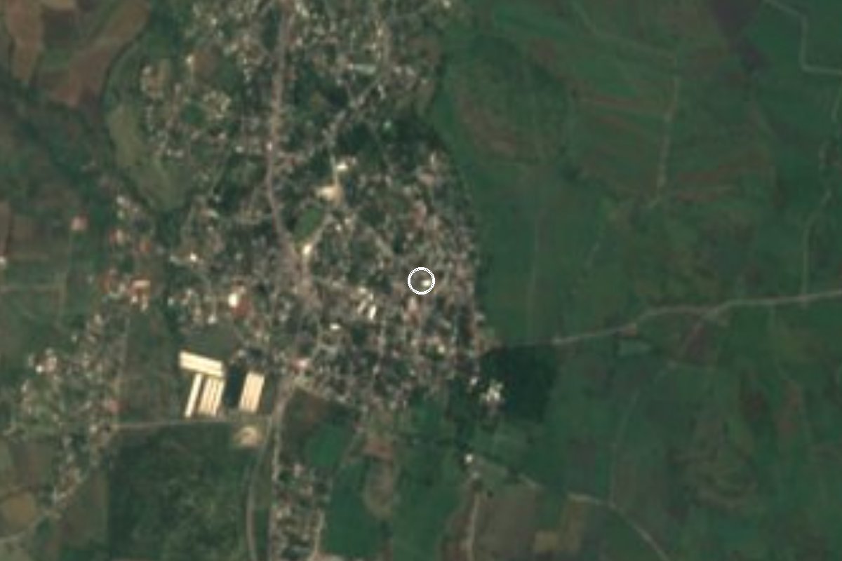
Village Tlaltizapán de Zapata, Morelos Municipality of Tlaltizapán de Zapata Southern Morelos
Former Treinta Pesos hacienda in Tlaltizapán: 17,186 residents, the parish of Santa Rosa de Lima and a patron feast on 29 and 30 August.
From Cuernavaca: 30 min by car (30 km by road) How to get there ↓
Near here
See everything nearby ↓



Plan your visit to Santa Rosa Treinta
Where to stay near Santa Rosa Treinta
Compare hotels, posadas and guest houses in Santa Rosa Treinta.
Tours to Santa Rosa Treinta
Day trips and guided outings from Tlaltizapán often include Santa Rosa Treinta; with a local guide you can get there without a car.
 Tours from Cuernavaca
3hr Cooking Class in Cuernavaca 8 Recipes and Bottomless Drinks
From US$59
How to get to Santa Rosa Treinta
- From Cuernavaca: about 30 min by road (~30 km)
- Nearest airport: Mexico City (MEX), 1 h 55 min by car to Tlaltizapán
Links open a partner site. We may earn a commission if you book, at no cost to you.
Tours from Cuernavaca, near Santa Rosa Treinta


Tours, prices and ratings from Viator, checked weekly. We may earn a commission if you book.
About Santa Rosa Treinta
There was a time when Santa Rosa Treinta was little more than an estate: in 1921 it counted 452 people. The name comes from the old Hacienda de Treinta Pesos, which in viceregal times leased its land for that sum, and from the patroness, Rose of Lima. Details of the estate's history are scarce; it belonged to José Francisco de Verástegui, who also owned San Miguel Treinta, and only part of the land of those haciendas survives. When the state of Morelos was formed, Santa Rosa Treinta was listed among the haciendas that fell inside the municipality of Tlaltizapán.
Today it is the most populous locality in the municipality: the 2020 census counted 17,186 people, against 2,452 in 1980. The jump came in the following decade, when it reached 12,963 in 1990, and it has grown slowly since. It sits at about 981 metres in southern Morelos, a few kilometres from Tlaltizapán, where Emiliano Zapata kept his headquarters between 1914 and 1919.
The heart of the village is the Parroquia de Santa Rosa de Lima, on Calle 20 de Noviembre. The patron feast runs on 29 and 30 August: a procession through the main streets with a flower offering, dawn serenades, a solemn Mass, dances, a rodeo, and a fireworks frame burned at night. At the table, the local menu includes pumpkin-seed mole verde with ash tamales, red mole with turkey, and catfish tamales.
How to get to Santa Rosa Treinta
Drive from Cuernavaca: 30 min, 30 km
Santa Rosa Treinta is about 4 km from Tlaltizapán and some 25 km from Cuernavaca in a straight line, in southern Morelos. From Mexico City, take the México-Cuernavaca highway, continue toward Yautepec and enter Tlaltizapán by the local road; it is 2 to 2.5 hours depending on traffic, and Tlaltizapán lies about 35 km south of Cuernavaca. By bus, services from Terminal Central del Sur (Taxqueña) go to Jojutla or Zacatepec, and a taxi or van covers the rest; Jojutla is the nearest Pullman de Morelos stop, about 30 minutes from Tlaltizapán by taxi. Buses leaving Cuernavaca run more often but drop you at Xoxocotla, from where a taxi takes about 20 minutes. From Tlaltizapán, a taxi or van reaches Santa Rosa Treinta in about 5 minutes (approximate). Check frequencies at the terminal, as the sources date from 2025.
Directions to Santa Rosa Treinta on Google Maps
Distances are in a straight line; the road is usually longer.
Links open a partner site. We may earn a commission if you book, at no cost to you.
From the nearest cities to Santa Rosa Treinta
- Cuernavaca · 30 km by road, 30 min
- Cuautla · 43 km by road, 55 min
- Taxco · 68 km by road, 1 h 15 min
Drive times by road from OpenStreetMap, without traffic or stops. Times marked ~ are estimated from the straight-line distance.
Before you go to Santa Rosa Treinta: hours, prices and tips
- Best time of day
- The patron feast of Santa Rosa de Lima is held on 29 and 30 August, with a procession, solemn Mass, dances, a rodeo and a fireworks frame at night. México Desconocido · checked Oct 2026
Hours and prices change, especially around holidays. Each fact links to where we checked it.
Visiting Santa Rosa Treinta: what to see and do
Visit the Parroquia de Santa Rosa de Lima, on Calle 20 de Noviembre.
Come on 29 and 30 August for the procession, the solemn Mass and the fireworks frame.
Try mole verde de pipián with ash tamales, or the catfish tamal.
Look for what remains of the old Treinta Pesos hacienda and ask about its history.
Continue to Tlaltizapán, about 4 km away, for the museum of Zapata's headquarters.
Plan your trip
Places to stay in Santa Rosa Treinta
Compare hotels, posadas, and rentals in and around Santa Rosa Treinta.
Tours & activities
Day trips and guided outings from Tlaltizapán often include Santa Rosa Treinta; with a local guide you can get there without a car.
Rental cars
Pick up a car at MEX (Mexico City): about 1 h 55 min by road to Tlaltizapán, then 4 km more to Santa Rosa Treinta, on your own schedule.
Flights
The nearest airport with scheduled flights is Mexico City (MEX), about 1 h 55 min by road from Tlaltizapán, the base for Santa Rosa Treinta.
Mobile data
Signal can drop away from Tlaltizapán: download a map of the way to Santa Rosa Treinta before you set out, or carry an eSIM with data.
Links open a partner site. We may earn a commission if you book, at no cost to you.
When to go to Santa Rosa Treinta warm
Santa Rosa Treinta shares the climate of Tlaltizapán, 4 km away. The best months to visit are January, October, November, and December.
See the month-by-month climate of Tlaltizapán
Weather in Santa Rosa Treinta now and the next 7 days
Live forecast from Open-Meteo. Chance of rain is the day's highest.
The closest Pueblo Mágico: Tlaltizapán

Tlaltizapán is the Pueblo Mágico closest to Santa Rosa Treinta, with places to stay, food, and more to see.
Also close to
- Xochitepec · Morelos · 17 km away
- Tepoztlán · Morelos · 33 km away
- Tlayacapan · Morelos · 35 km away
- Malinalco · Estado de México · 44 km away
- Taxco · Guerrero · 48 km away
Closest to Santa Rosa Treinta
-
Temimilcingo · Village · 4 km away
-
Estadio Agustín Coruco Díaz · Landmark · 5 km away
-
Parque Estatal Cerro de la Tortuga · Nature reserve · 5 km away
-
Zacatepec de Hidalgo · Village · 5 km away
-
Alfredo V. Bonfil · Village · 6 km away
-
Atlacholoaya · Village · 7 km away
-
Bonifacio García · Village · 7 km away
-
Palo Prieto · Village · 7 km away
Near Santa Rosa Treinta



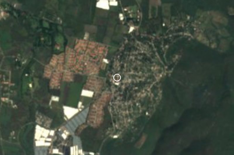



Drive times by road from OpenStreetMap, without traffic. Times marked ~ are estimated from the straight-line distance.
Location from OpenStreetMap. Written by Puebloteca.