
Village Xochitepec, Morelos Municipality of Xochitepec Southern Morelos
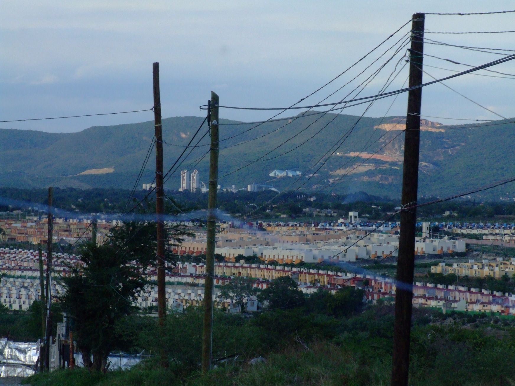
Housing development in Xochitepec, south of Cuernavaca: from 8 residents in 2000 to 3,409 in 2020, at 1,096 m above sea level.
From Cuernavaca: 20 min by car (21 km by road) How to get there ↓
Near here
See everything nearby ↓




Plan your visit to Villas de Xochitepec
Where to stay near Villas de Xochitepec
Compare hotels, posadas and guest houses in Villas de Xochitepec.
Tours to Villas de Xochitepec
Day trips and guided outings from Xochitepec often include Villas de Xochitepec; with a local guide you can get there without a car.
 Tours from Cuernavaca
3hr Cooking Class in Cuernavaca 8 Recipes and Bottomless Drinks
From US$59
How to get to Villas de Xochitepec
- From Cuernavaca: about 20 min by road (~21 km)
- Nearest airport: Toluca (TLC), 1 h 59 min by car to Xochitepec
Links open a partner site. We may earn a commission if you book, at no cost to you.
Tours from Cuernavaca, near Villas de Xochitepec


Tours, prices and ratings from Viator, checked weekly. We may earn a commission if you book.
About Villas de Xochitepec
Few places in Morelos have grown as fast as Villas de Xochitepec. INEGI's census counted 8 people here in 2000, 2,226 in 2010 and 3,409 in 2020. The reason is that this is not an old village but a housing development, with modest family houses and larger homes, built in the municipality of Xochitepec on the low southern side of the state at about 1,096 m above sea level. Its postal code is 62790.
The name comes from the municipality rather than the neighbourhood: Xochitepec is Nahuatl, from xochitl (flower), tepetl (hill) and the locative co, "on the hill of flowers". The municipal seat, about 9 km away in a straight line, was named a Pueblo Mágico in 2023 and takes most of the visitors to this area. Villas de Xochitepec itself is a place where people live, many of them commuting to Cuernavaca, Xochitepec or Temixco, rather than a sight.
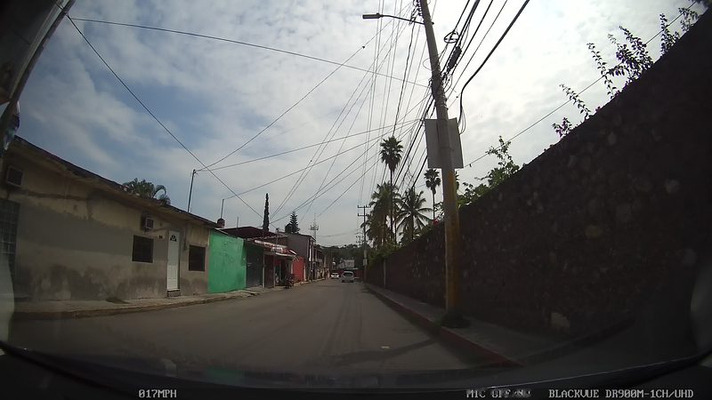
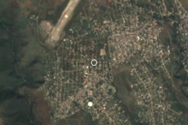
Expect streets of low houses, small parks and neighbourhood courts, and for-sale signs on the lamp posts. The oldest photographs of the development, uploaded to Wikimedia Commons from Panoramio, show rows of small houses with the Mariano Matamoros stadium and the new Xochitepec bypass close by. It works as a practical stop, for visiting someone or running errands, and as a way to see how Cuernavaca's built-up area has spread south.
For actual sightseeing, carry on to the centre of Xochitepec, with its clock hill and plaza, or to the Xochicalco archaeological site in the neighbouring municipality of Miacatlán.
How to get to Villas de Xochitepec
Drive from Cuernavaca: 20 min, 21 km
Villas de Xochitepec is about 17 km south of Cuernavaca in a straight line, and roughly 20 to 25 minutes by road outside rush hour. The axis is the Mexico City–Acapulco corridor, toll and free: from Cuernavaca head south towards Xochitepec and leave at the municipal seat (Wikipedia (en) places a buried pyramid at kilometre 92 of the Mexico–Acapulco highway at Xochitepec). From there the development is about 9 km in a straight line, along the new bypass visible in the Commons photographs.
From Mexico City the usual route is the Mexico–Cuernavaca toll road (95D) and on south: about 85 to 90 km to Cuernavaca and another 15 to 25 minutes to Xochitepec. By public transport, intercity buses (Pullman de Morelos) arrive at the Cuernavaca bus station; from there take a combi or urban route to Xochitepec and another or a taxi into the development. Ask for the route that enters Villas de Xochitepec: routes change and we found no published timetable.
Directions to Villas de Xochitepec on Google Maps
Distances are in a straight line; the road is usually longer.
Links open a partner site. We may earn a commission if you book, at no cost to you.
From the nearest cities to Villas de Xochitepec
- Cuernavaca · 21 km by road, 20 min
- Cuautla · 55 km by road, 1 h 5 min
- Taxco · 66 km by road, 1 h 10 min
Drive times by road from OpenStreetMap, without traffic or stops. Times marked ~ are estimated from the straight-line distance.
Visiting Villas de Xochitepec: what to see and do
Walk the streets of the development to see how the area grew in two decades.
Visit the centre of Xochitepec, a Pueblo Mágico since 2023, about 9 km away.
Climb the clock hill in Xochitepec, which may have given the municipality its name according to Wikipedia (en).
Continue to Xochicalco, an archaeological site in the municipality of Miacatlán.
Pair the stop with Cuernavaca, about 17 km north.
Plan your trip
Places to stay in Villas de Xochitepec
Compare hotels, posadas, and rentals in and around Villas de Xochitepec.
Tours & activities
Day trips and guided outings from Xochitepec often include Villas de Xochitepec; with a local guide you can get there without a car.
Rental cars
Pick up a car at TLC (Toluca): about 1 h 59 min by road to Xochitepec, then 9 km more to Villas de Xochitepec, on your own schedule.
Flights
The nearest airport with scheduled flights is Toluca (TLC), about 1 h 59 min by road from Xochitepec, the base for Villas de Xochitepec.
Mobile data
Signal can drop away from Xochitepec: download a map of the way to Villas de Xochitepec before you set out, or carry an eSIM with data.
Links open a partner site. We may earn a commission if you book, at no cost to you.
When to go to Villas de Xochitepec warm
Villas de Xochitepec shares the climate of Xochitepec, 9 km away. The best months to visit are January, February, November, and December.
See the month-by-month climate of Xochitepec
Weather in Villas de Xochitepec now and the next 7 days
Live forecast from Open-Meteo. Chance of rain is the day's highest.
The closest Pueblo Mágico: Xochitepec

Xochitepec is the Pueblo Mágico closest to Villas de Xochitepec, with places to stay, food, and more to see.
Also close to
- Tlaltizapán · Morelos · 13 km away
- Tepoztlán · Morelos · 27 km away
- Tlayacapan · Morelos · 33 km away
- Malinalco · Estado de México · 35 km away
- Taxco · Guerrero · 47 km away
Closest to Villas de Xochitepec
-
Estadio Mariano Matamoros · Landmark · 1 km away
-
Chiconcuac · Village · 2 km away
-
Atlacholoaya · Village · 3 km away
-
San Francisco · Village · 4 km away
-
Alpuyeca · Village · 5 km away
-
La Rivera · Village · 5 km away
-
Santa Fe · Village · 5 km away
-
Tepetzingo · Village · 5 km away
Near Villas de Xochitepec


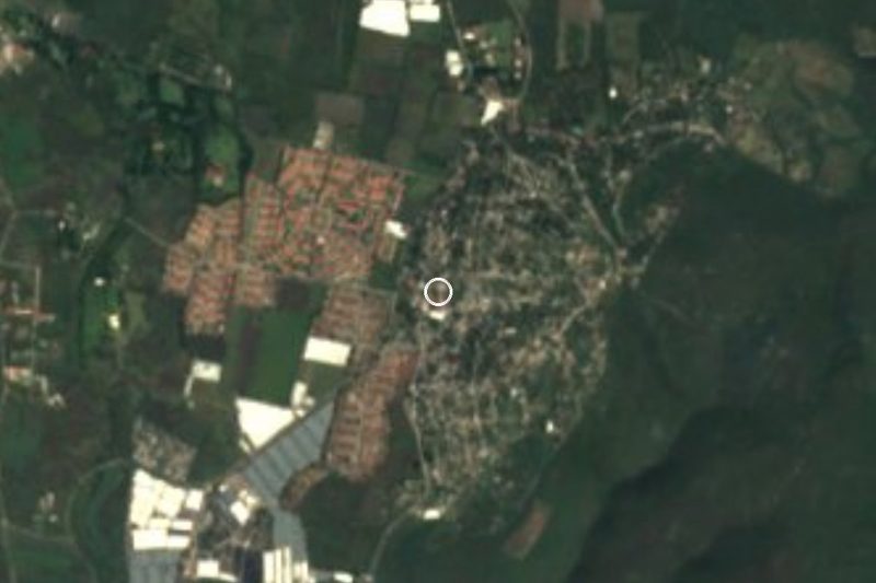

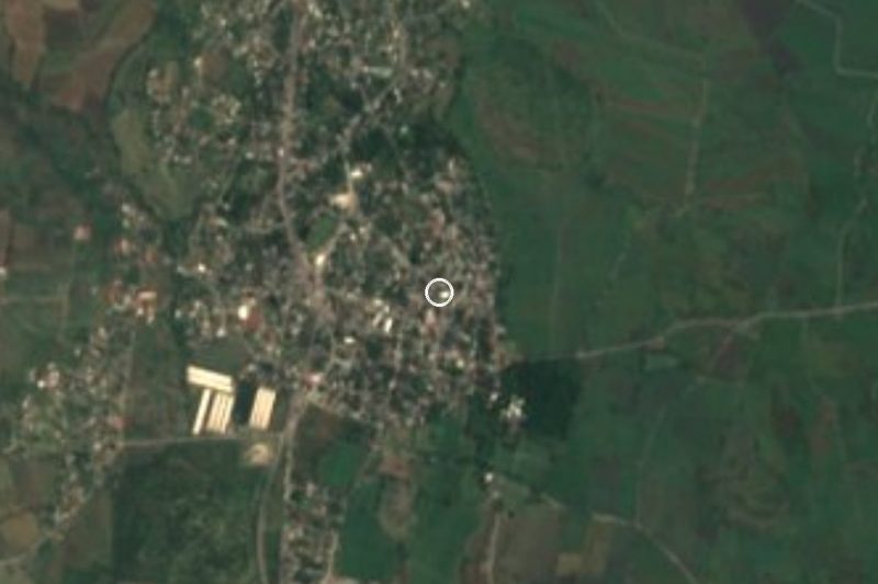

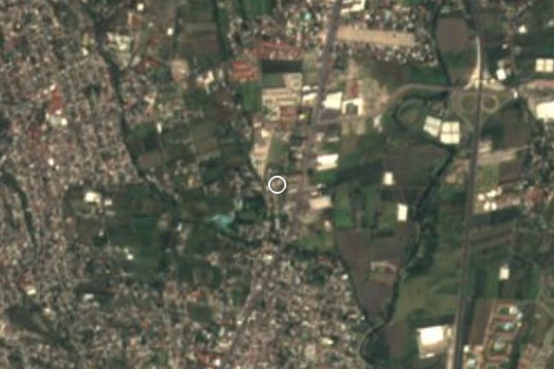
Drive times by road from OpenStreetMap, without traffic. Times marked ~ are estimated from the straight-line distance.
Location from OpenStreetMap. Written by Puebloteca.