


Village Emiliano Zapata, Morelos Municipality of Emiliano Zapata Southern Morelos
Village in Emiliano Zapata at 1,211 m, with a church of Santa Ana and about 5,500 people, south of Cuernavaca.
From Cuernavaca: 20 min by car (17 km by road) How to get there ↓
Near here
See everything nearby ↓



Plan your visit to Tezoyuca
Where to stay near Tezoyuca
Compare hotels, posadas and guest houses in Tezoyuca.
Tours to Tezoyuca
Day trips and guided outings from Xochitepec often include Tezoyuca; with a local guide you can get there without a car.
 Tours from Cuernavaca
3hr Cooking Class in Cuernavaca 8 Recipes and Bottomless Drinks
From US$59
How to get to Tezoyuca
- From Cuernavaca: about 20 min by road (~17 km)
- Nearest airport: Toluca (TLC), 1 h 59 min by car to Xochitepec
Links open a partner site. We may earn a commission if you book, at no cost to you.
Tours from Cuernavaca, near Tezoyuca


Tours, prices and ratings from Viator, checked weekly. We may earn a commission if you book.
About Tezoyuca
Tezoyuca has grown fast. INEGI censuses counted 647 people in 1940, 1,203 in 1970, 3,493 in 2000 and 5,501 in 2020, so the village is about eight times bigger than it was eighty years ago. It sits at 1,211 m above sea level in the municipality of Emiliano Zapata, and the name is Nahuatl: Spanish Wikipedia reads it as "the place where tezontle is abundant", tezontle being the porous red volcanic rock that has been used for building and foundations since pre-Hispanic times.
The middle of the village belongs to the church of Santa Ana. The arch over its wooden door has the church's name painted on it, and the white facade with dark red trim, the bell gable and the tiled roof give it the look of an old chapel. It is listed among the historic monuments that Wiki Loves Monuments Mexico photographs (record 02580). Make sure you head for the village of Tezoyuca and not Crucero Tezoyuca, a different locality in the same municipality.
Tezoyuca lies just south of the built-up area of Cuernavaca. INEGI's municipal summary says Emiliano Zapata borders Cuernavaca and Jiutepec to the north and Xochitepec and Tlaltizapán to the south, so the village works as a doorway between the metropolitan area and the warm lowlands of southern Morelos. It is somewhere to walk the streets and see the church; there is no tourist attraction beyond that, and organised visitor services should not be expected.
How to get to Tezoyuca
Drive from Cuernavaca: 20 min, 17 km
Tezoyuca is about 13 km in a straight line from Cuernavaca, to the south (roughly 15 minutes by car, more in traffic). From Mexico City, take the México-Cuernavaca toll road (95D) to Cuernavaca and continue south toward Emiliano Zapata; the Autopista del Sol (Cuernavaca-Acapulco) runs the same way, and signs for Emiliano Zapata and Tezoyuca mark the turn. Pin the last stretch on a map, because a second locality, Crucero Tezoyuca, shares the name inside the same municipality.
By public transport, the simplest route is to reach Cuernavaca first (buses run from the Terminal Sur Taxqueña) and then take a colectivo or combi toward Emiliano Zapata and Tezoyuca. A real-estate listing names route 20 as the one passing through the village; check with the driver. Xochitepec, the nearest pueblo with its own page in this guide, is about 11 km away (roughly 15 minutes), and Rome2Rio lists a Pullman de Morelos bus between Emiliano Zapata and Xochitepec of about 45 minutes.
Directions to Tezoyuca on Google Maps
Distances are in a straight line; the road is usually longer.
Links open a partner site. We may earn a commission if you book, at no cost to you.
From the nearest cities to Tezoyuca
- Cuernavaca · 17 km by road, 20 min
- Cuautla · 51 km by road, 1 h
- Taxco · 71 km by road, 1 h 15 min
Drive times by road from OpenStreetMap, without traffic or stops. Times marked ~ are estimated from the straight-line distance.
Visiting Tezoyuca: what to see and do
Visit the church of Santa Ana in the middle of the village.
Look at its white facade with red trim and its bell gable.
Walk the village streets.
Drop by the municipal seat of Emiliano Zapata, a short way off.
Plan your trip
Places to stay in Tezoyuca
Compare hotels, posadas, and rentals in and around Tezoyuca.
Tours & activities
Day trips and guided outings from Xochitepec often include Tezoyuca; with a local guide you can get there without a car.
Rental cars
Pick up a car at TLC (Toluca): about 1 h 59 min by road to Xochitepec, then 11 km more to Tezoyuca, on your own schedule.
Flights
The nearest airport with scheduled flights is Toluca (TLC), about 1 h 59 min by road from Xochitepec, the base for Tezoyuca.
Mobile data
Signal can drop away from Xochitepec: download a map of the way to Tezoyuca before you set out, or carry an eSIM with data.
Links open a partner site. We may earn a commission if you book, at no cost to you.
Photos
When to go to Tezoyuca warm
Tezoyuca shares the climate of Xochitepec, 11 km away. The best months to visit are January, February, November, and December.
See the month-by-month climate of Xochitepec
Weather in Tezoyuca now and the next 7 days
Live forecast from Open-Meteo. Chance of rain is the day's highest.
The closest Pueblo Mágico: Xochitepec

Xochitepec is the Pueblo Mágico closest to Tezoyuca, with places to stay, food, and more to see.
Also close to
- Tlaltizapán · Morelos · 15 km away
- Tepoztlán · Morelos · 23 km away
- Tlayacapan · Morelos · 29 km away
- Malinalco · Estado de México · 35 km away
- Tonatico · Estado de México · 49 km away
Closest to Tezoyuca
-
San Francisco · Village · 2 km away
-
Acatlipa · Town · 3 km away
-
Campo Sotelo · Village · 3 km away
-
Chiconcuac · Village · 3 km away
-
Tepetzingo · Village · 3 km away
-
Emiliano Zapata · Town · 4 km away
-
La Rivera · Village · 4 km away
-
Parque Acuático Ojo de Agua · Hot springs · 4 km away
Near Tezoyuca




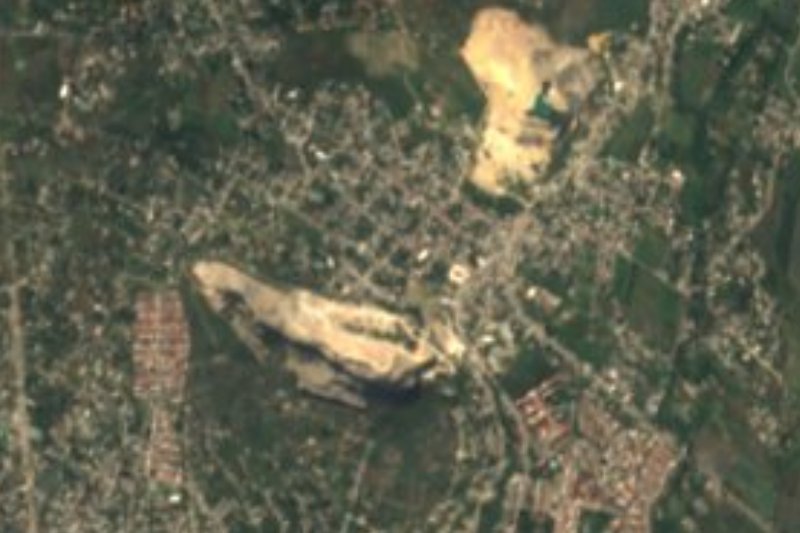
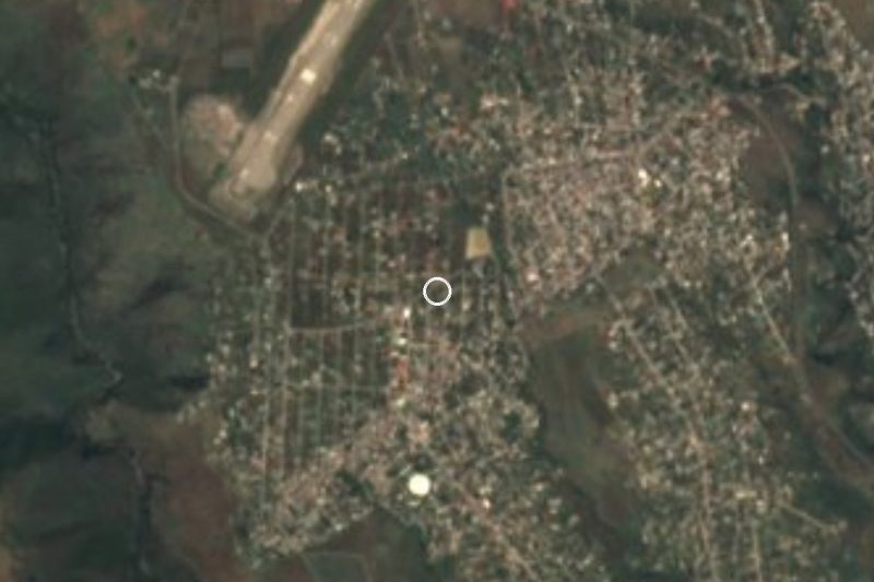


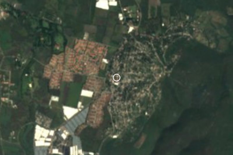
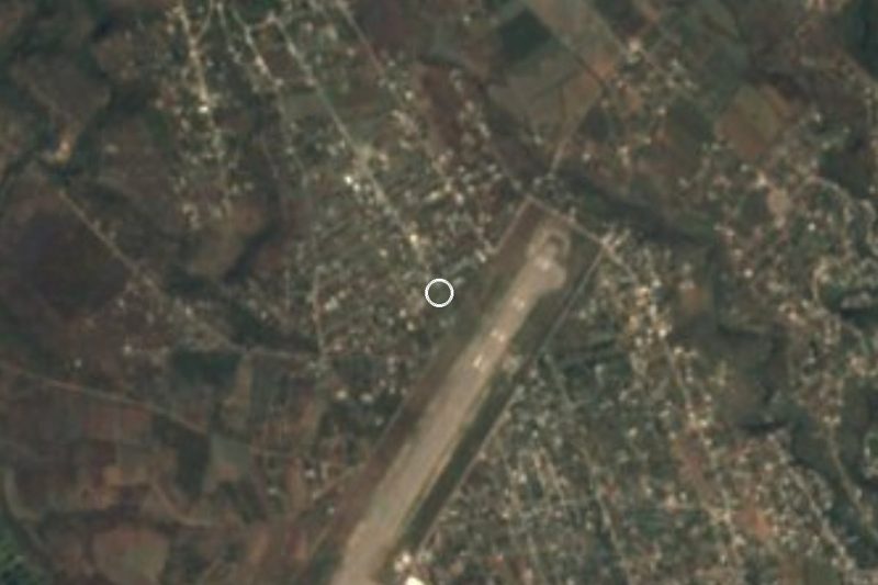
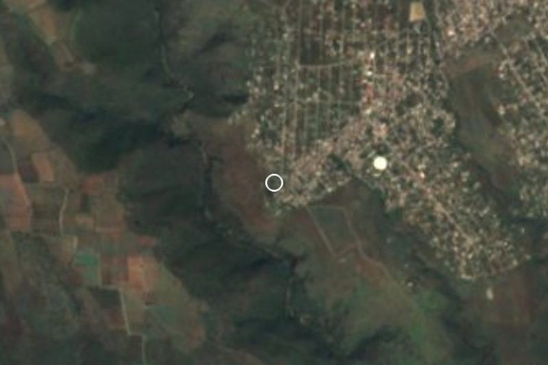
Drive times by road from OpenStreetMap, without traffic. Times marked ~ are estimated from the straight-line distance.
Location from OpenStreetMap. Written by Puebloteca.