Town Emiliano Zapata, Morelos Municipality of Emiliano Zapata Southern Morelos
Emiliano Zapata colonia next to Cuernavaca, known for its weekend ceramics and crafts market and the Santa Cruz fiesta on 3 May.
From Cuernavaca: 15 min by car (10 km by road) How to get there ↓
Near here



Plan your visit to Tres de Mayo
Where to stay near Tres de Mayo
Compare hotels, posadas and guest houses in Tres de Mayo.
Tours to Tres de Mayo
Day trips around Xochitepec sometimes stop in Tres de Mayo; a tour is the easy way to see it without a car.
 Tours from Cuernavaca
3hr Cooking Class in Cuernavaca 8 Recipes and Bottomless Drinks
From US$59
How to get to Tres de Mayo
- From Cuernavaca: about 15 min by road (~10 km)
- Nearest airport: Toluca (TLC), 1 h 59 min by car to Xochitepec
Links open a partner site. We may earn a commission if you book, at no cost to you.
Tours from Cuernavaca, near Tres de Mayo


Tours, prices and ratings from Viator, checked weekly. We may earn a commission if you book.
About Tres de Mayo
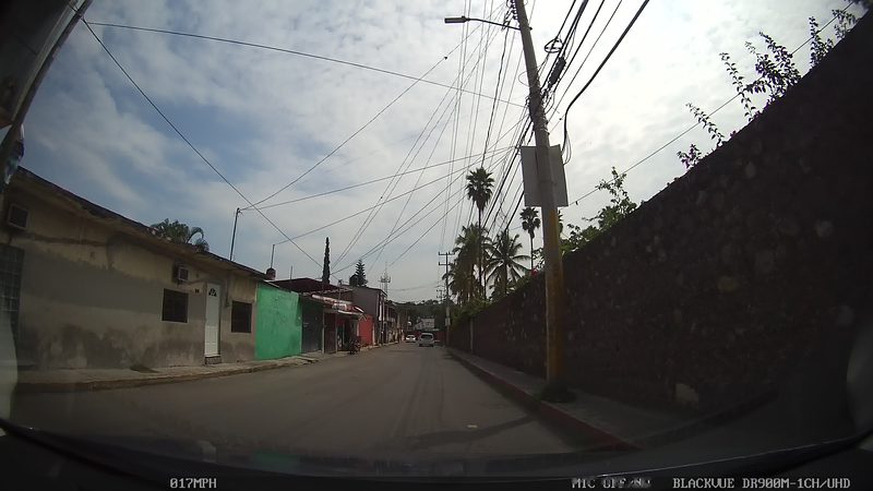
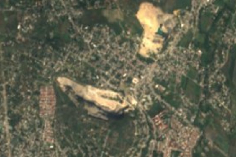
Tres de Mayo is one of the four ayudantías of the municipality of Emiliano Zapata (the others are Tezoyuca, Tepetzingo and Tetecalita) and sits right up against Cuernavaca, above 1,370 metres. It is not an old village: in 1950 there were ranches on the spot, known as Cerro Pelón or Texcal de Tlanexpa, and the colonia was founded on 30 January 1961 on the initiative of the ejido members. The streets were named when the topographic survey was done on 8 March 1972. The name comes from a white-painted cross planted on the 3,000 square metres measured out for the church. In 2020 about 20,950 people lived here.
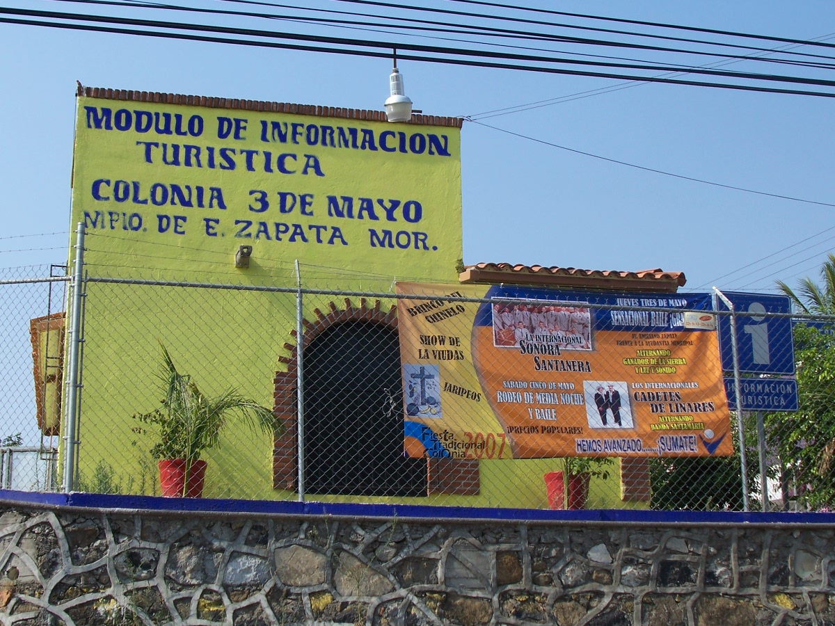
Handmade ceramics are what made it take off. At weekends producers sell directly to the public around the roundabout, where there is a tourist information module, and coaches of visitors from other states tour the colonia. Besides clay, makers work resin, high-fired ceramics, porcelain, plaster, blown glass, wicker and wrought iron, and there are souvenirs for baptisms, first communions and weddings, plus stalls selling chamoyadas, fruit waters and micheladas.
The Santa Cruz parish church is modern: Bishop Sergio Méndez Arceo laid its first stone on 27 September 1987, and a 1993 donation from the German group Adveniat allowed the work to go on. 3 May, the Day of the Holy Cross, is the patron fiesta: crosses decorated with flowers and coloured paper are blessed, and there is mass, a chinelo dance, a fair and a jaripeo; it is also the custom to celebrate construction workers that day with crosses on building sites.
How to get to Tres de Mayo
Drive from Cuernavaca: 15 min, 10 km
From central Cuernavaca it is about 8 km and 12 minutes by car, along Avenida Palmira heading south, Paseo de la Reforma and Avenida Emiliano Zapata. If you come from Mexico City on the Acapulco motorway, take the last Cuernavaca junction near El Polvorín, turn left and then right toward Palmira, continue south on Avenida Palmira to Avenida Reforma, pass the Los Abanicos fountain and turn right: the colonia begins just behind the former Tec de Monterrey campus. Signposting is adequate.
From Cuernavaca you can also take a Route 14 minibus, which leaves from the Palacio de Cortés, or the Chapultepec de Morelos route (per Wikipedia, which may be out of date). From Xochitepec, the nearest village, it is about 13 km.
Directions to Tres de Mayo on Google Maps
Distances are in a straight line; the road is usually longer.
Links open a partner site. We may earn a commission if you book, at no cost to you.
From the nearest cities to Tres de Mayo
- Cuernavaca · 10 km by road, 15 min
- Cuautla · 48 km by road, 55 min
- Taxco · 77 km by road, 1 h 20 min
Drive times by road from OpenStreetMap, without traffic or stops. Times marked ~ are estimated from the straight-line distance.
What to see in Tres de Mayo 3
Sights with their own page, closest to the centre first.
Landmarks and museums
-
Balneario Ex-Hacienda de Temixco · Landmark · 3 km from the centre
A big water park built inside the walls and arches of a colonial sugar hacienda. -
Ex Hacienda Atlacomulco · Landmark · 4 km from the centre
Former sugar estate of San Antonio Atlacomulco, tied to Hernán Cortés and the Marquesado del Valle; today the Hotel & Spa Hacienda de Cortés.
Hot springs
-
Parque Acuático Ojo de Agua · Hot springs · 4 km from the centre
Water park with pools, a wave river and slides in Acatlipa, Temixco, open daily. Not to be confused with the Ex Hacienda de Temixco park.
Map of Tres de Mayo
Neighbourhoods and villages of Tres de Mayo
Part of Tres de Mayo or just outside it, closest first.
-
Calera Chica · Village · 3 km from the centre
Jiutepec locality founded in 1956 that grew from 396 to 6,006 people in sixty years, strung along state road MOR 14. -
Campo Sotelo · Village · 4 km from the centre
Temixco locality 2.7 km from the municipal centre, beside the Autopista del Sol; it grew from 370 to 1,379 residents between 2000 and 2020. -
Colonia Morelos (Temixco) · Village · 4 km from the centre
Colonia Morelos, inside the town of Temixco, 2.8 km northwest of its centre and next to Cuernavaca. Not the state: a Temixco neighbourhood. -
Emiliano Zapata · Town · 4 km from the centre
Once San Vicente Zacualpan, just south of Cuernavaca: a town born of a sugar hacienda, renamed in 1930 after the agrarian revolutionary.
Day trips and tours from Tres de Mayo
The closest Pueblos Mágicos and places to visit, with the drive from Tres de Mayo and tours that leave from it.




Times marked ~ are estimated from the distance. Links open a partner site. We may earn a commission if you book, at no cost to you.
Before you go: getting to and around Tres de Mayo
- The nearest airport is Toluca (TLC).
- The best months to go are January, February, November, and December.
- 5 of the places on this page are more than 3 km from the centre: take a taxi, a ride-hailing app or a local bus.
- For day trips a rental car gives the most freedom; the tours above leave from Tres de Mayo.
Before you go to Tres de Mayo: hours, prices and tips
- Best time of day
- Producers gather to sell at the roundabout every weekend, so that is the best time to go; 3 May is the patron fiesta. Wikipedia (es): Tres de Mayo (Emiliano Zapata) · checked Oct 2026
Hours and prices change, especially around holidays. Each fact links to where we checked it.
Visiting Tres de Mayo: what to see and do
Ceramics and crafts market around the roundabout (weekends)
The colonia's tourist information module
Santa Cruz parish church, in a modern style
The 3 May fiesta, with the blessing of crosses, chinelos and a jaripeo
Stalls selling chamoyadas, fruit waters and micheladas
Plan your trip
Places to stay in Tres de Mayo
Compare hotels, posadas, and rentals in and around Tres de Mayo.
Tours & activities
Day trips around Xochitepec sometimes stop in Tres de Mayo; a tour is the easy way to see it without a car.
Rental cars
Pick up a car at TLC (Toluca): about 1 h 59 min by road to Xochitepec, then 13 km more to Tres de Mayo, on your own schedule.
Flights
The nearest airport with scheduled flights is Toluca (TLC), about 1 h 59 min by road from Xochitepec, the base for Tres de Mayo.
Mobile data
Signal can drop away from Xochitepec: download a map of the way to Tres de Mayo before you set out, or carry an eSIM with data.
Links open a partner site. We may earn a commission if you book, at no cost to you.
When to go to Tres de Mayo warm
Tres de Mayo shares the climate of Xochitepec, 13 km away. The best months to visit are January, February, November, and December.
See the month-by-month climate of Xochitepec
Weather in Tres de Mayo now and the next 7 days
Live forecast from Open-Meteo. Chance of rain is the day's highest.
The closest Pueblo Mágico: Xochitepec

Xochitepec is the Pueblo Mágico closest to Tres de Mayo, with places to stay, food, and more to see.
Also close to
- Tepoztlán · Morelos · 18 km away
- Tlaltizapán · Morelos · 21 km away
- Tlayacapan · Morelos · 26 km away
- Malinalco · Estado de México · 32 km away
- Tonatico · Estado de México · 49 km away
Near Tres de Mayo


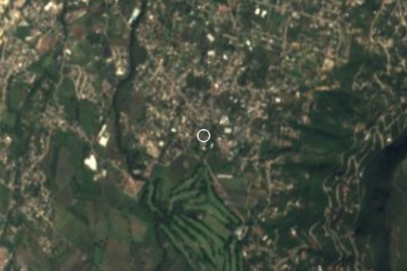
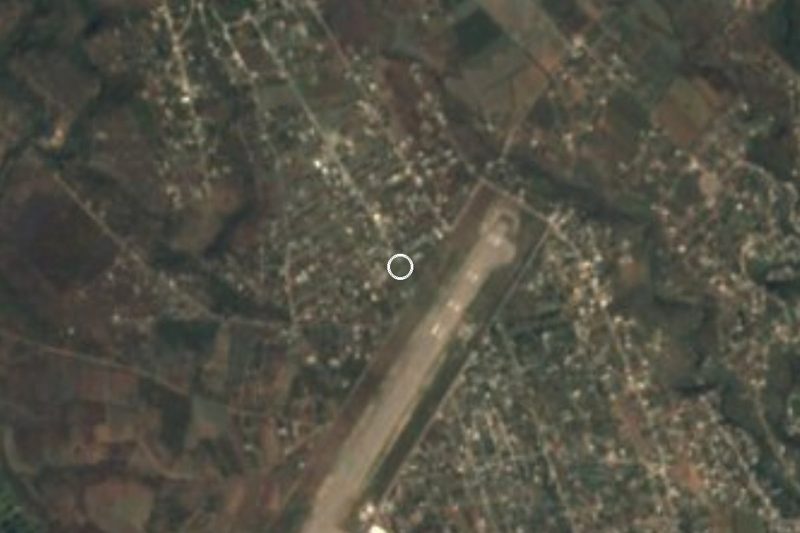


Drive times by road from OpenStreetMap, without traffic. Times marked ~ are estimated from the straight-line distance.
Location from OpenStreetMap. Written by Puebloteca.