

Town Emiliano Zapata, Morelos Municipality of Emiliano Zapata Southern Morelos
Once San Vicente Zacualpan, just south of Cuernavaca: a town born of a sugar hacienda, renamed in 1930 after the agrarian revolutionary.
From Cuernavaca: 15 min by car (15 km by road) How to get there ↓
Near here


Plan your visit to Emiliano Zapata
Where to stay near Emiliano Zapata
Compare hotels, posadas and guest houses in Emiliano Zapata.
Tours to Emiliano Zapata
Day trips around Xochitepec sometimes stop in Emiliano Zapata; a tour is the easy way to see it without a car.
 Tours from Cuernavaca
3hr Cooking Class in Cuernavaca 8 Recipes and Bottomless Drinks
From US$59
How to get to Emiliano Zapata
- From Cuernavaca: about 15 min by road (~15 km)
- Nearest airport: Toluca (TLC), 1 h 59 min by car to Xochitepec
Links open a partner site. We may earn a commission if you book, at no cost to you.
Tours from Cuernavaca, near Emiliano Zapata


Tours, prices and ratings from Viator, checked weekly. We may earn a commission if you book.
About Emiliano Zapata
Few towns have changed names as often. Before the conquest it was Tzacualpan, a Nahuatl name read as "on the pyramid" or "on the hiding place". In colonial times it became San Francisco Zacualpa, a mission dependency of the Franciscan convent of Santiago in Jiutepec. In 1840 it was renamed San Vicente Zacualpan after the landowner and governor Vicente de Eguía, and in 1930, when a federal rule barred municipalities from carrying saints' names, it took the name of General Emiliano Zapata. The municipality split from Jiutepec on 15 December 1932.
The town grew out of a hacienda. In 1618 Diego de Alarcón was granted about 170 hectares and set up a sugar estate that became one of the richest in the region, and its workers settled around it. On 18 December 1856 armed men raided the San Vicente hacienda and killed its Spanish owner, Nicolás Bermejillo, a crime that strained relations between Mexico and Spain. The estate was handed to the townspeople in 1942, and what survives of it is now part of the municipal market.
With 64,084 people in 2020 and an altitude of about 1,250 m, Emiliano Zapata has merged into the urban spread south of Cuernavaca, between the Montenegro and El Texcal hills and beside the Autopista del Sol. A rice cooperative was founded here in 1944. The parish church of San Francisco de Asís honours its patron on 4 October, Candlemas is celebrated on 2 February, and potters work in the Tres de Mayo neighbourhood. Local cooking includes green pumpkin-seed mole with ash tamales, cecina and a sweet made from pipián.
How to get to Emiliano Zapata
Drive from Cuernavaca: 15 min, 15 km
Emiliano Zapata adjoins the south side of Cuernavaca: about 15 km and some 15 minutes by car or taxi from the city centre. Driving from Mexico City, take the Mexico-Cuernavaca toll road (95D) and continue onto the Autopista del Sol towards Acapulco; the toll plaza known as La DIEZ (Desarrollo Industrial Emiliano Zapata) is in the municipality and serves as its motorway access. By bus, Pullman de Morelos, OCC and Estrella de Oro run from the Terminal del Sur (Taxqueña) to Cuernavaca in about 1 h 40 min; continue by local route bus or taxi. Xochitepec, the nearest pueblo in this guide, is about 14 km away in a straight line.
Directions to Emiliano Zapata on Google Maps
Distances are in a straight line; the road is usually longer.
Links open a partner site. We may earn a commission if you book, at no cost to you.
From the nearest cities to Emiliano Zapata
- Cuernavaca · 15 km by road, 15 min
- Cuautla · 46 km by road, 50 min
- Taxco · 76 km by road, 1 h 20 min
Drive times by road from OpenStreetMap, without traffic or stops. Times marked ~ are estimated from the straight-line distance.
What to see in Emiliano Zapata 1
Sights with their own page, closest to the centre first.
-
Balneario Ex-Hacienda de Temixco · Landmark · 4 km from the centre
A big water park built inside the walls and arches of a colonial sugar hacienda.
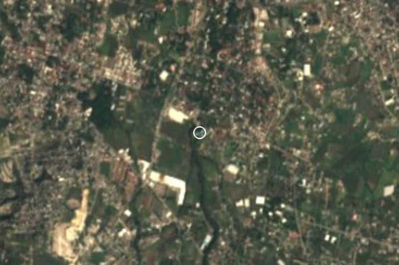
Map of Emiliano Zapata
Neighbourhoods and villages of Emiliano Zapata
Part of Emiliano Zapata or just outside it, closest first.
-
Calera Chica · Village · 2 km from the centre
Jiutepec locality founded in 1956 that grew from 396 to 6,006 people in sixty years, strung along state road MOR 14. -
Campo Sotelo · Village · 3 km from the centre
Temixco locality 2.7 km from the municipal centre, beside the Autopista del Sol; it grew from 370 to 1,379 residents between 2000 and 2020. -
Cliserio Alanís · Village · 4 km from the centre
Former San Gaspar sugar hacienda in Jiutepec, renamed in 1932 for a Zapatista general; 2,706 people in 2020. -
El Naranjo · Village · 4 km from the centre
Jiutepec colony at 1,316 m beside San Gaspar; 1,282 residents in 2020, more than double its 2005 count. -
Tezoyuca · Village · 4 km from the centre
Village in Emiliano Zapata at 1,211 m, with a church of Santa Ana and about 5,500 people, south of Cuernavaca. -
Tres de Mayo · Town · 4 km from the centre
Emiliano Zapata colonia next to Cuernavaca, known for its weekend ceramics and crafts market and the Santa Cruz fiesta on 3 May.

Day trips and tours from Emiliano Zapata
The closest Pueblos Mágicos and places to visit, with the drive from Emiliano Zapata and tours that leave from it.





Times marked ~ are estimated from the distance. Links open a partner site. We may earn a commission if you book, at no cost to you.
Before you go: getting to and around Emiliano Zapata
- The nearest airport is Toluca (TLC).
- The best months to go are January, February, November, and December.
- 5 of the places on this page are more than 3 km from the centre: take a taxi, a ride-hailing app or a local bus.
- For day trips a rental car gives the most freedom; the tours above leave from Emiliano Zapata.
Visiting Emiliano Zapata: what to see and do
Visit the parish church of San Francisco de Asís in the town centre.
Look for the remains of the San Vicente hacienda in the municipal market.
Step into the Santa Cruz chapel.
Buy pottery in the Tres de Mayo neighbourhood.
Try green pumpkin-seed mole with ash tamales.
Come on 4 October for the feast of San Francisco, the town's patron.
Plan your trip
Places to stay in Emiliano Zapata
Compare hotels, posadas, and rentals in and around Emiliano Zapata.
Tours & activities
Day trips around Xochitepec sometimes stop in Emiliano Zapata; a tour is the easy way to see it without a car.
Rental cars
Pick up a car at TLC (Toluca): about 1 h 59 min by road to Xochitepec, then 14 km more to Emiliano Zapata, on your own schedule.
Flights
The nearest airport with scheduled flights is Toluca (TLC), about 1 h 59 min by road from Xochitepec, the base for Emiliano Zapata.
Mobile data
Signal can drop away from Xochitepec: download a map of the way to Emiliano Zapata before you set out, or carry an eSIM with data.
Links open a partner site. We may earn a commission if you book, at no cost to you.
When to go to Emiliano Zapata warm
Emiliano Zapata shares the climate of Xochitepec, 14 km away. The best months to visit are January, February, November, and December.
See the month-by-month climate of Xochitepec
Weather in Emiliano Zapata now and the next 7 days
Live forecast from Open-Meteo. Chance of rain is the day's highest.
The closest Pueblo Mágico: Xochitepec

Xochitepec is the Pueblo Mágico closest to Emiliano Zapata, with places to stay, food, and more to see.
Also close to
- Tlaltizapán · Morelos · 17 km away
- Tepoztlán · Morelos · 19 km away
- Tlayacapan · Morelos · 25 km away
- Malinalco · Estado de México · 36 km away
- Tonatico · Estado de México · 51 km away
Near Emiliano Zapata




Drive times by road from OpenStreetMap, without traffic. Times marked ~ are estimated from the straight-line distance.
Location from OpenStreetMap. Written by Puebloteca.