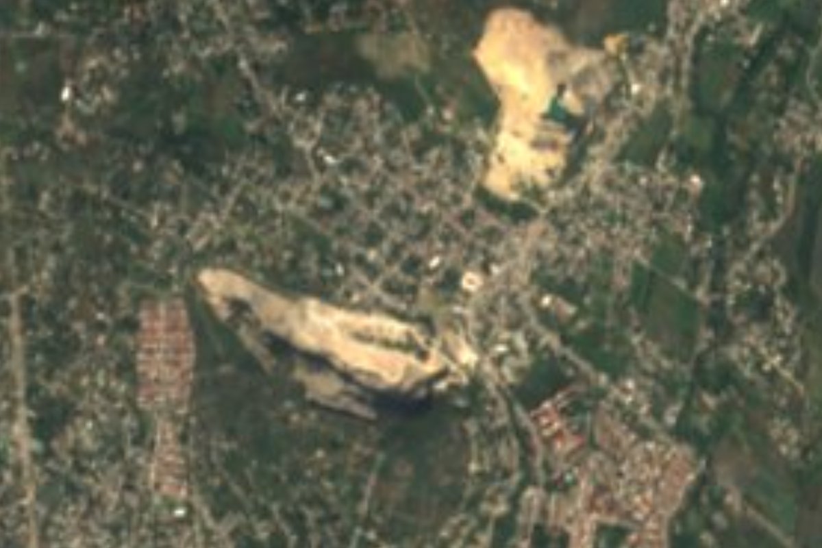
Village Jiutepec, Morelos Municipality of Jiutepec Southern Morelos
Jiutepec locality founded in 1956 that grew from 396 to 6,006 people in sixty years, strung along state road MOR 14.
From Cuernavaca: 15 min by car (13 km by road) How to get there ↓
Near here
See everything nearby ↓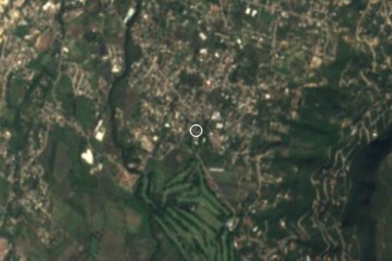



Plan your visit to Calera Chica
Where to stay near Calera Chica
Compare hotels, posadas and guest houses in Calera Chica.
Tours to Calera Chica
Day trips and guided outings from Xochitepec often include Calera Chica; with a local guide you can get there without a car.
 Tours from Cuernavaca
3hr Cooking Class in Cuernavaca 8 Recipes and Bottomless Drinks
From US$59
How to get to Calera Chica
- From Cuernavaca: about 15 min by road (~13 km)
- Nearest airport: Toluca (TLC), 1 h 59 min by car to Xochitepec
Links open a partner site. We may earn a commission if you book, at no cost to you.
Tours from Cuernavaca, near Calera Chica


Tours, prices and ratings from Viator, checked weekly. We may earn a commission if you book.
About Calera Chica
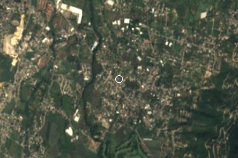
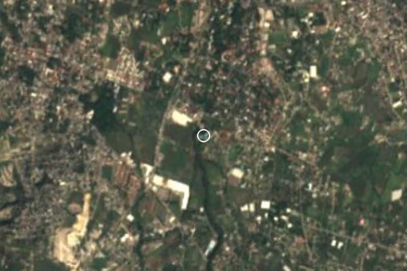
Calera Chica belongs to the municipality of Jiutepec. It sits at about 1,309 metres above sea level and, according to English Wikipedia's Jiutepec article, roughly 6 km south of the municipal seat. The record gives an exact founding date, 11 July 1956, which makes it a recent settlement in a state where most villages have centuries behind them.
The census figures tell the story best. INEGI counted 396 residents in 1960, 1,221 in 1970, 2,821 in 1980, 4,629 in 2000 and 6,006 in 2020. That is the curve of a neighbourhood filled by people working across the Cuernavaca-Jiutepec urban area, not of a farming hamlet that stayed put. OpenStreetMap agrees: the street grid is split into named sectors (Calera Oriente and Calera Poniente) and ringed by housing developments and gated condominiums.
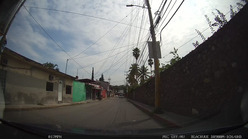
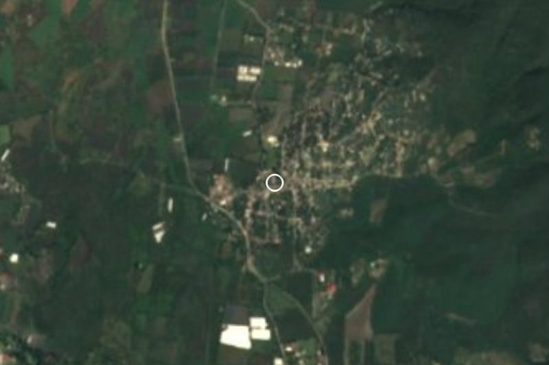
On the ground, OpenStreetMap shows state road MOR 14 as the spine of the settlement, its stretches carrying the names Avenida Emiliano Zapata, Niños Héroes and Benito Juárez. The abandoned bed of an old railway, the Vía del Ferrocarril Río Balsas, runs nearby, and the Barranca de Analco is close.
How to get to Calera Chica
Drive from Cuernavaca: 15 min, 13 km
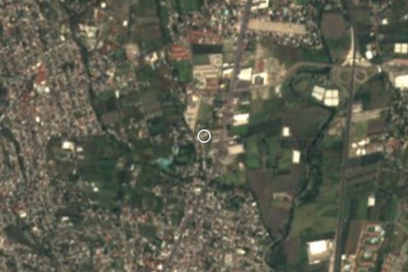
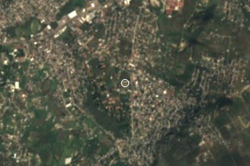
Calera Chica lies about 9 km in a straight line from Cuernavaca and some 6 km south of Jiutepec, the municipal seat. From Cuernavaca you go south toward Jiutepec and continue on state road MOR 14, which OpenStreetMap shows as the settlement's main axis, changing its name stretch by stretch (Avenida Emiliano Zapata, Niños Héroes, Benito Juárez). Allow roughly 20 to 30 minutes by car from central Cuernavaca depending on traffic; that is our estimate, not a published figure. The Autopista del Sol (95D) runs a few kilometres to the west near Temixco and links to Xochitepec, the nearest pueblo (about 15 km). We found no named bus or colectivo line with published times.
Directions to Calera Chica on Google Maps
Distances are in a straight line; the road is usually longer.
Links open a partner site. We may earn a commission if you book, at no cost to you.
From the nearest cities to Calera Chica
- Cuernavaca · 13 km by road, 15 min
- Cuautla · 43 km by road, 50 min
- Taxco · 79 km by road, 1 h 20 min
Drive times by road from OpenStreetMap, without traffic or stops. Times marked ~ are estimated from the straight-line distance.
Visiting Calera Chica: what to see and do
Main street along state road MOR 14 (Avenida Emiliano Zapata and Niños Héroes and Benito Juárez streets)
The Calera Oriente and Calera Poniente sectors, as shown on OpenStreetMap
Bed of the old Río Balsas railway, abandoned, beside the village
The Barranca de Analco, nearby
Plan your trip
Places to stay in Calera Chica
Compare hotels, posadas, and rentals in and around Calera Chica.
Tours & activities
Day trips and guided outings from Xochitepec often include Calera Chica; with a local guide you can get there without a car.
Rental cars
Pick up a car at TLC (Toluca): about 1 h 59 min by road to Xochitepec, then 15 km more to Calera Chica, on your own schedule.
Flights
The nearest airport with scheduled flights is Toluca (TLC), about 1 h 59 min by road from Xochitepec, the base for Calera Chica.
Mobile data
Signal can drop away from Xochitepec: download a map of the way to Calera Chica before you set out, or carry an eSIM with data.
Links open a partner site. We may earn a commission if you book, at no cost to you.
When to go to Calera Chica warm
Calera Chica shares the climate of Xochitepec, 15 km away. The best months to visit are January, February, November, and December.
See the month-by-month climate of Xochitepec
Weather in Calera Chica now and the next 7 days
Live forecast from Open-Meteo. Chance of rain is the day's highest.
The closest Pueblo Mágico: Xochitepec

Xochitepec is the Pueblo Mágico closest to Calera Chica, with places to stay, food, and more to see.
Also close to
- Tepoztlán · Morelos · 17 km away
- Tlaltizapán · Morelos · 19 km away
- Tlayacapan · Morelos · 24 km away
- Malinalco · Estado de México · 35 km away
- Tonatico · Estado de México · 52 km away
Closest to Calera Chica
-
Cliserio Alanís · Village · 2 km away
-
El Naranjo · Village · 2 km away
-
Emiliano Zapata · Town · 2 km away
-
Balneario Las Fuentes · Hot springs · 3 km away
-
Jiutepec · City · 3 km away
-
Tres de Mayo · Town · 3 km away
-
Balneario Ex-Hacienda de Temixco · Landmark · 4 km away
-
Campo Sotelo · Village · 4 km away

Near Calera Chica





Drive times by road from OpenStreetMap, without traffic. Times marked ~ are estimated from the straight-line distance.
Location from OpenStreetMap. Written by Puebloteca.