Village Jiutepec, Morelos Municipality of Jiutepec Monasteries on the slopes of Popocatépetl Northern Morelos
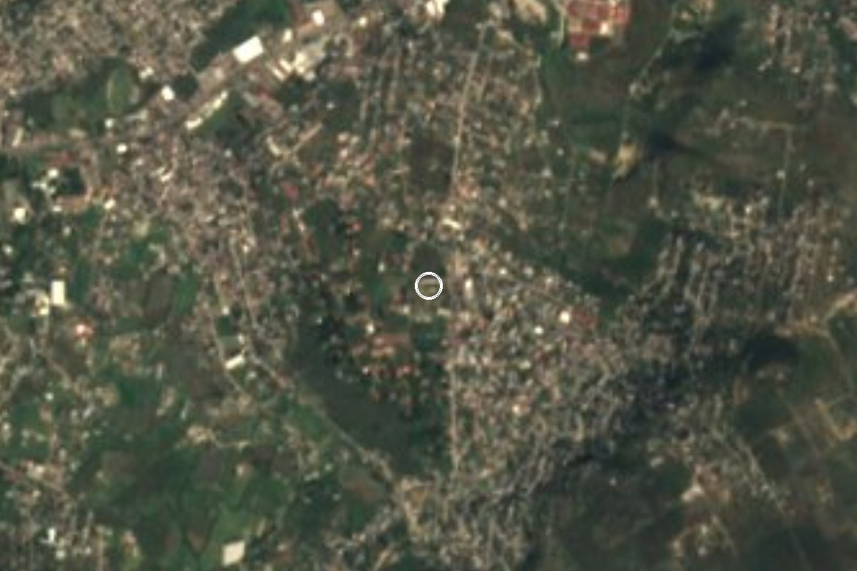
Second most populous locality in Jiutepec, 16,746 people in 2020, 2.6 km east of the municipal seat and about 10 km from Cuernavaca.
From Cuernavaca: 15 min by car (12 km by road) How to get there ↓
Near here
See everything nearby ↓

Plan your visit to Progreso
Where to stay near Progreso
Compare hotels, posadas and guest houses in Progreso.
Tours to Progreso
Day trips and guided outings from Tepoztlán often include Progreso; with a local guide you can get there without a car.
How to get to Progreso
- From Cuernavaca: about 15 min by road (~12 km)
- Nearest airport: Mexico City (MEX), 1 h 25 min by car to Tepoztlán
Links open a partner site. We may earn a commission if you book, at no cost to you.
About Progreso
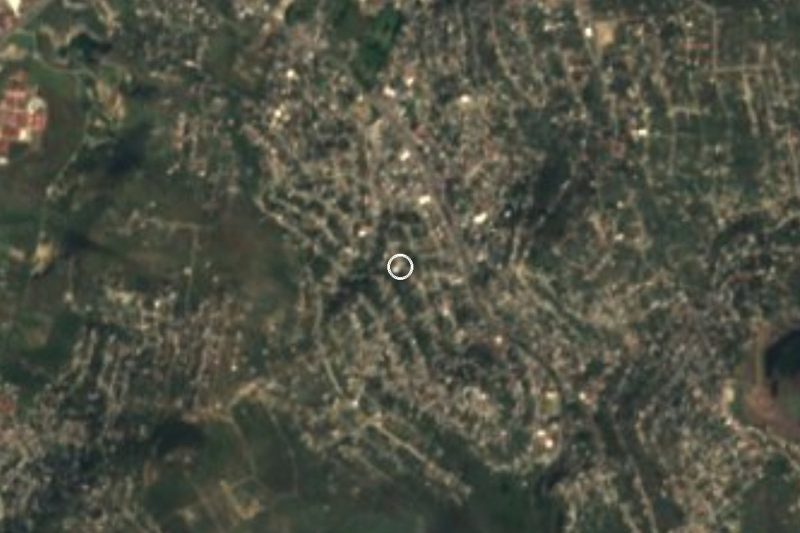
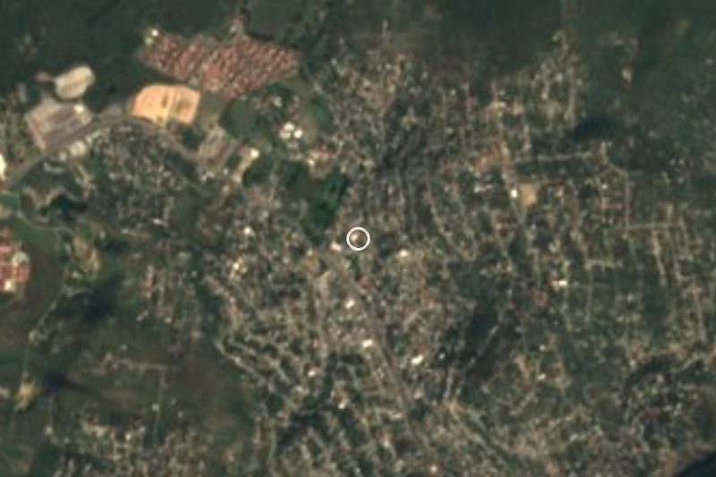
Progreso is now a large, urban village in the municipality of Jiutepec, 2.6 km east of the municipal seat at roughly 1,363 meters above sea level. The 2020 census counted 16,746 residents (8,643 women and 8,103 men), up from 14,525 in 2010 and 12,654 in 2005: about four thousand more people in fifteen years, and the second largest of the municipality's 29 localities.
The climate is warm and semi-arid: an average annual temperature of about 20 °C, around 800 mm of rain a year, January as the coolest month and April as the hottest, according to Pueblos de America. Nearly all homes have electricity and piped water, and internet access rose from 23% in 2010 to over 60% in 2020.
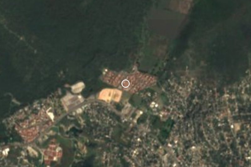
The immediate surroundings are low hills: La Corona (1,681 m) is 2.5 km east, Las Iguanas 2.7 km to the southeast and Las Palmas about 4 km south. The closest localities are the Cazahuatal ejido, about 400 m away, Lomas del Texcal and Ampliacion Las Fuentes.
There is a health center under the village's name in the Morelos health department network. It is not a sightseeing stop; its interest for a traveler is that it belongs to the Cuernavaca metropolitan area and sits about 16 km from Tepoztlan.
How to get to Progreso
Drive from Cuernavaca: 15 min, 12 km
Progreso is in the municipality of Jiutepec, 2.6 km east of the municipal seat and about 10 km from Cuernavaca in a straight line (roughly 20 to 30 minutes by car, depending on traffic). From Cuernavaca take the exit toward Jiutepec on the city's east side and continue east; We found no source for the road numbers, so check the map.
By public transport, go to Cuernavaca first (buses from Terminal Sur Taxqueña and TAPO in Mexico City), then to Jiutepec by city transport; in Jiutepec ask for routes to Progreso, a short hop of about 2.6 km. Tepoztlan, the nearest pueblo on the list, is about 13 km in a straight line, roughly 16 to 25 minutes by car.
Directions to Progreso on Google Maps
Distances are in a straight line; the road is usually longer.
Links open a partner site. We may earn a commission if you book, at no cost to you.
From the nearest cities to Progreso
- Cuernavaca · 12 km by road, 15 min
- Cuautla · 39 km by road, 40 min
- Taxco · 90 km by road, 1 h 25 min
Drive times by road from OpenStreetMap, without traffic or stops. Times marked ~ are estimated from the straight-line distance.
Visiting Progreso: what to see and do
Walk the village center and see daily life.
Look at the hills around it: La Corona, 2.5 km to the east.
Walk toward the Cazahuatal ejido, about 400 m away.
Go to Jiutepec, the municipal seat, 2.6 km to the west.
Continue to Tepoztlan, about 16 km to the northeast.
Plan your trip
Places to stay in Progreso
Compare hotels, posadas, and rentals in and around Progreso.
Tours & activities
Day trips and guided outings from Tepoztlán often include Progreso; with a local guide you can get there without a car.
Rental cars
Pick up a car at MEX (Mexico City): about 1 h 25 min by road to Tepoztlán, then 13 km more to Progreso, on your own schedule.
Flights
The nearest airport with scheduled flights is Mexico City (MEX), about 1 h 25 min by road from Tepoztlán, the base for Progreso.
Mobile data
Signal can drop away from Tepoztlán: download a map of the way to Progreso before you set out, or carry an eSIM with data.
Links open a partner site. We may earn a commission if you book, at no cost to you.
When to go to Progreso mild
Progreso shares the climate of Tepoztlán, 13 km away. The best months to visit are January, February, March, and December.
See the month-by-month climate of Tepoztlán
Weather in Progreso now and the next 7 days
Live forecast from Open-Meteo. Chance of rain is the day's highest.
The closest Pueblo Mágico: Tepoztlán

Tepoztlán is the Pueblo Mágico closest to Progreso, with places to stay, food, and more to see.
Also close to
- Tlayacapan · Morelos · 19 km away
- Xochitepec · Morelos · 20 km away
- Tlaltizapán · Morelos · 21 km away
- Malinalco · Estado de México · 38 km away
- Ixtapan de la Sal · Estado de México · 56 km away
Closest to Progreso
-
Balneario El Texcal · Hot springs · 2 km away
-
Balneario Las Fuentes · Hot springs · 2 km away
-
El Naranjo · Village · 2 km away
-
Independencia · Village · 2 km away
-
La Joya · Village · 2 km away
-
Laguna de Hueyapan · Lagoon · 2 km away
-
Rinconada Acolapa · Village · 2 km away
-
Amador Salazar · Town · 3 km away
Near Progreso
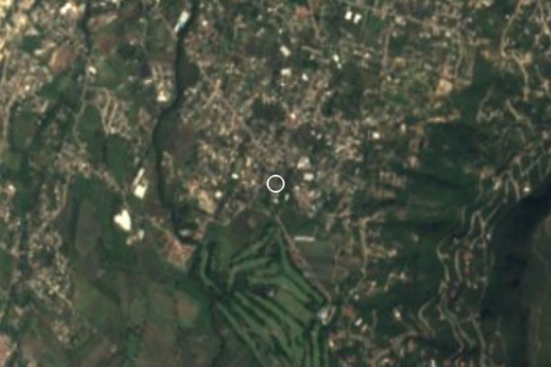


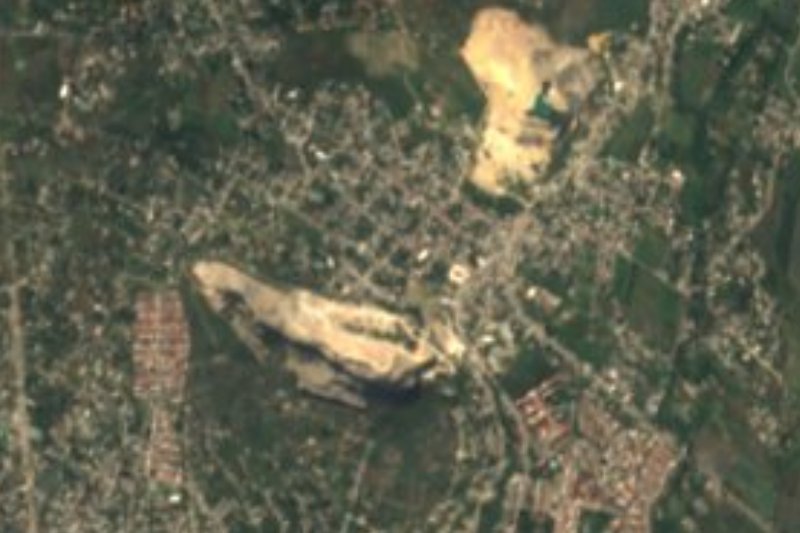
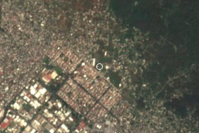
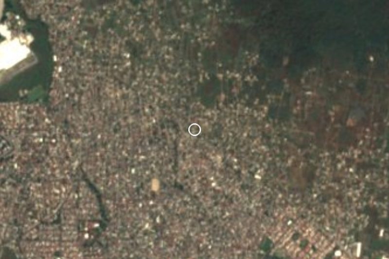


Drive times by road from OpenStreetMap, without traffic. Times marked ~ are estimated from the straight-line distance.
Location from OpenStreetMap. Written by Puebloteca.