Village Tepoztlán, Morelos Municipality of Tepoztlán Monasteries on the slopes of Popocatépetl Northern Morelos
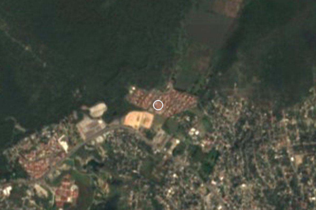
Residential community in Tepoztlán, formerly Unidad Habitacional Rinconada Acolapa, with 2,772 people in 2020; no tourist sights of its own.
From Cuernavaca: 20 min by car (14 km by road) How to get there ↓
Near here
See everything nearby ↓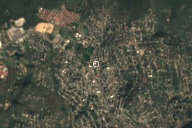

Plan your visit to Rinconada Acolapa
Where to stay near Rinconada Acolapa
Compare hotels, posadas and guest houses in Rinconada Acolapa.
Tours to Rinconada Acolapa
Day trips and guided outings from Tepoztlán often include Rinconada Acolapa; with a local guide you can get there without a car.
How to get to Rinconada Acolapa
- From Cuernavaca: about 20 min by road (~14 km)
- Nearest airport: Mexico City (MEX), 1 h 25 min by car to Tepoztlán
Links open a partner site. We may earn a commission if you book, at no cost to you.
About Rinconada Acolapa
Rinconada Acolapa is above all a residential area: a locality directory says it used to be known as Unidad Habitacional Rinconada Acolapa, and in 2020 it had 2,772 residents, at about 1,400 m above sea level. It belongs to the municipality of Tepoztlán but lies about 10 km in a straight line south of the municipal seat, closer to Cuernavaca than to Tepoztlán's centre.
The name 'Acolapa' comes from Nahuatl: atl, water; coltic, bend or twist; apan, river; it means 'bend of the river'. That is the only historical clue we found: we found no sources on when the development was founded or on any festivals or monuments of its own, and we prefer not to invent them.
What matters for a traveller is context. This part of Tepoztlán sits between the Cuernavaca valley and the Pueblo Mágico of Tepoztlán, so many people live here and work or study in the state capital. The neighbouring locality of Acolapan appears as a separate settlement in directories, so do not mix up the two names when using a map.
We do not suggest a detour just to come here. It is useful as a reference point if you are looking at houses or land in the area, or as a pass-through between Cuernavaca and Tepoztlán. We publish no hours or fees because there are no sites that keep them.
How to get to Rinconada Acolapa
Drive from Cuernavaca: 20 min, 14 km
Rinconada Acolapa is about 11 km in a straight line from Cuernavaca (roughly 15 minutes by car, approx.) and about 10 km from Tepoztlán as the crow flies, but by road it is about 16 km to Tepoztlán, around 16 minutes according to a locality directory. From Mexico City the usual way is the Mexico–Cuernavaca toll road (95D), leaving before the city toward Tepoztlán; from there follow the map to Rinconada Acolapa, since some routes get confused with Acolapan.
Without a car it is harder: take a bus from Terminal Taxqueña or TAPO to Cuernavaca (or to Tepoztlán) and then a taxi. We found no published colectivo route to the neighbourhood, so ask at the terminal.
Directions to Rinconada Acolapa on Google Maps
Distances are in a straight line; the road is usually longer.
Links open a partner site. We may earn a commission if you book, at no cost to you.
From the nearest cities to Rinconada Acolapa
- Cuernavaca · 14 km by road, 20 min
- Cuautla · 36 km by road, 40 min
- Taxco · 92 km by road, 1 h 30 min
Drive times by road from OpenStreetMap, without traffic or stops. Times marked ~ are estimated from the straight-line distance.
Visiting Rinconada Acolapa: what to see and do
Use it as a stop between Cuernavaca and Tepoztlán.
Check the map to tell Rinconada Acolapa from Acolapan.
Continue to Tepoztlán for its former convent and the Tepozteco hill.
Explore the streets and surroundings if you are looking at houses or land in the area.
Come by day; there are no tourist services on site.
Plan your trip
Places to stay in Rinconada Acolapa
Compare hotels, posadas, and rentals in and around Rinconada Acolapa.
Tours & activities
Day trips and guided outings from Tepoztlán often include Rinconada Acolapa; with a local guide you can get there without a car.
Rental cars
Pick up a car at MEX (Mexico City): about 1 h 25 min by road to Tepoztlán, then 10 km more to Rinconada Acolapa, on your own schedule.
Flights
The nearest airport with scheduled flights is Mexico City (MEX), about 1 h 25 min by road from Tepoztlán, the base for Rinconada Acolapa.
Mobile data
Signal can drop away from Tepoztlán: download a map of the way to Rinconada Acolapa before you set out, or carry an eSIM with data.
Links open a partner site. We may earn a commission if you book, at no cost to you.
When to go to Rinconada Acolapa mild
Rinconada Acolapa shares the climate of Tepoztlán, 10 km away. The best months to visit are January, February, March, and December.
See the month-by-month climate of Tepoztlán
Weather in Rinconada Acolapa now and the next 7 days
Live forecast from Open-Meteo. Chance of rain is the day's highest.
The closest Pueblo Mágico: Tepoztlán

Tepoztlán is the Pueblo Mágico closest to Rinconada Acolapa, with places to stay, food, and more to see.
Also close to
- Tlayacapan · Morelos · 17 km away
- Xochitepec · Morelos · 22 km away
- Tlaltizapán · Morelos · 23 km away
- Malinalco · Estado de México · 39 km away
- Ixtapan de la Sal · Estado de México · 58 km away
Closest to Rinconada Acolapa
-
La Joya · Village · 1 km away
-
Amador Salazar · Town · 2 km away
-
Balneario El Texcal · Hot springs · 2 km away
-
Independencia · Village · 2 km away
-
Laguna de Hueyapan · Lagoon · 2 km away
-
Progreso · Village · 2 km away
-
Loma Esmeralda · Village · 3 km away
-
Lomas del Pedregal · Village · 3 km away
Near Rinconada Acolapa
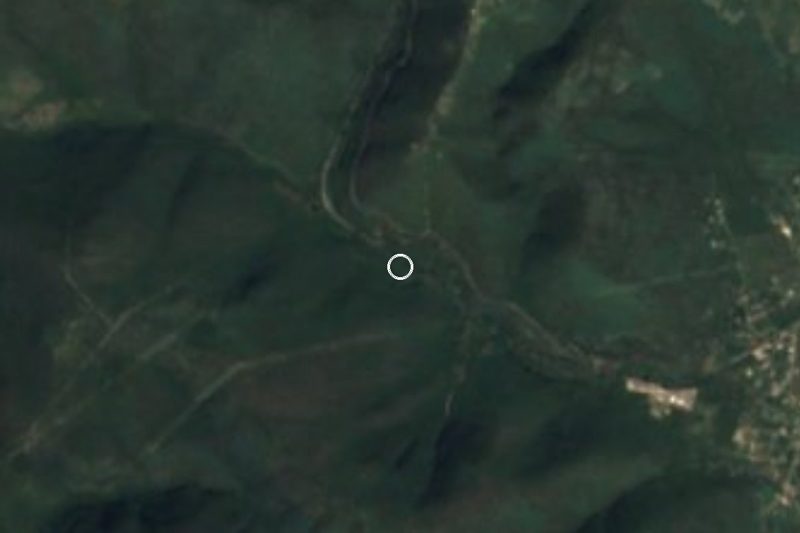
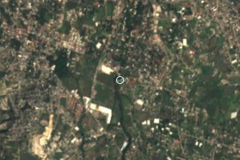
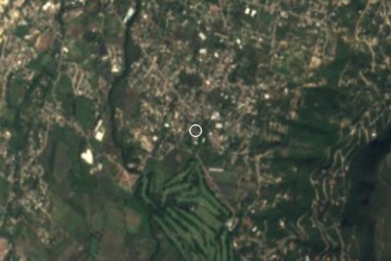
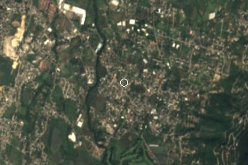




Drive times by road from OpenStreetMap, without traffic. Times marked ~ are estimated from the straight-line distance.
Location from OpenStreetMap. Written by Puebloteca.