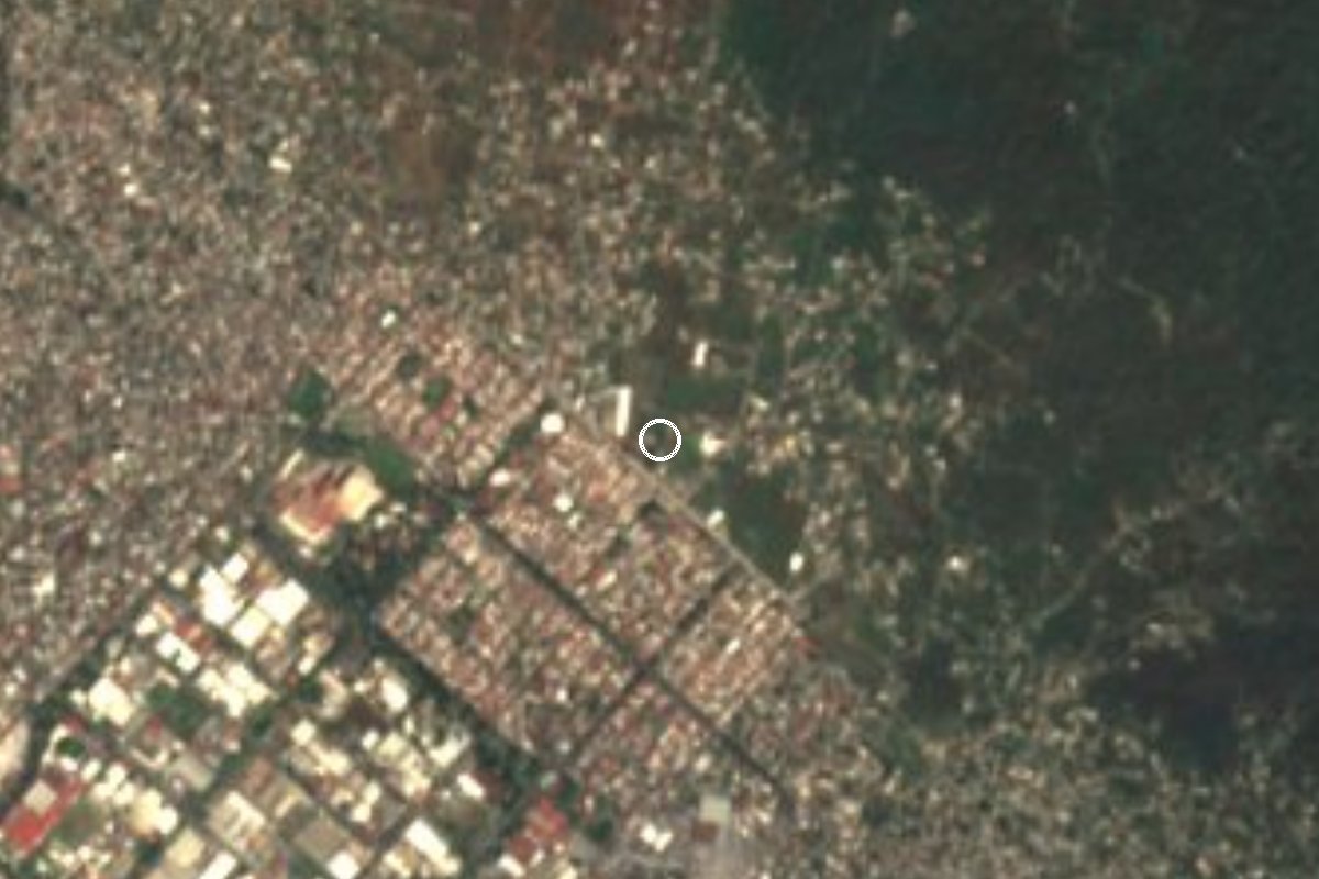
Village Tepoztlán, Morelos Municipality of Tepoztlán Monasteries on the slopes of Popocatépetl Northern Morelos
Tepoztlán locality inside the Cuernavaca metro area; grew from 420 to 3,578 people between 2000 and 2020. Name: 'place of abundant charcoal'.
From Cuernavaca: 15 min by car (9 km by road) How to get there ↓
Near here
See everything nearby ↓
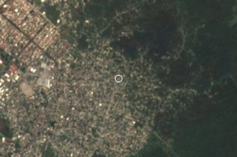
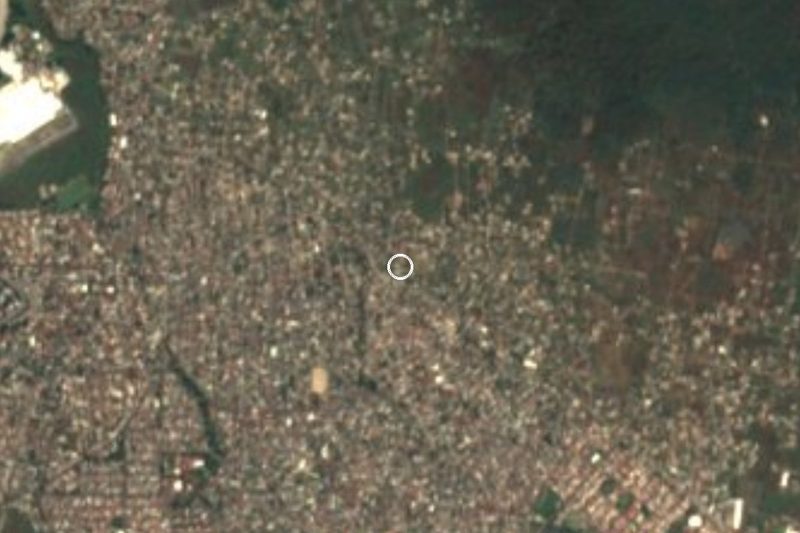
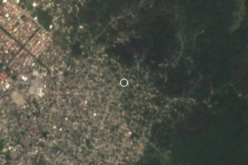
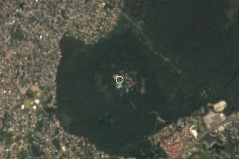

Plan your visit to Tetecolala
Where to stay near Tetecolala
Compare hotels, posadas and guest houses in Tetecolala.
Tours to Tetecolala
Day trips and guided outings from Tepoztlán often include Tetecolala; with a local guide you can get there without a car.
 Tours from Cuernavaca
3hr Cooking Class in Cuernavaca 8 Recipes and Bottomless Drinks
From US$59
How to get to Tetecolala
- From Cuernavaca: about 15 min by road (~9 km)
- Nearest airport: Mexico City (MEX), 1 h 25 min by car to Tepoztlán
Links open a partner site. We may earn a commission if you book, at no cost to you.
Tours from Cuernavaca, near Tetecolala


Tours, prices and ratings from Viator, checked weekly. We may earn a commission if you book.
About Tetecolala
Place where charcoal abounds: tetecol is the plural of tecolli, charcoal, and -tlan marks abundance. No source we consulted says whether charcoal was ever burned here. It is a locality in the municipality of Tepoztlán, in northern Morelos, and census-based profiles count it within the Cuernavaca metropolitan area.
Its recent story is growth: 420 people in 2000, 743 in 2005, 1,449 in 2010 and 3,578 in 2020 (1,739 men and 1,839 women), making it the municipality's fourth-largest locality. In 2020, 2,354 people described themselves as Catholic, 590 as Protestant or evangelical and 629 as having no religion; of those over 15, about 2,540 can read and write. Property listings name it as a colonia of Tepoztlán, with streets such as the Ampliación Civac, and new housing explains much of the rise.
This is a place to live rather than to visit. The sources we checked list no monument, natural attraction or fiesta specific to Tetecolala, so we mention none. Anyone using it as a base should know that Tepoztlán, with its former convent and pyramid, is about 10 km away, and Cuernavaca under 10 km.
How to get to Tetecolala
Drive from Cuernavaca: 15 min, 9 km
Tetecolala is about 8 km straight-line from Cuernavaca and some 10 km from Tepoztlán, in the strip between the two. We found neither the number of the local road nor a published service reaching the locality, so use GPS for the last stretch. For Tepoztlán from Cuernavaca, Visit Morelos reports combis leaving the Paloma de la Paz roundabout every 15 minutes, about 35 minutes and 35 pesos; other sources cite Ometochtli co-operative buses every 20 minutes at 21 to 55 pesos (prices and schedules change). From Mexico City, people usually reach Cuernavaca from the Terminal Sur (Taxqueña) and continue north. By car allow about 20 to 30 minutes from Cuernavaca (our estimate).
Directions to Tetecolala on Google Maps
Distances are in a straight line; the road is usually longer.
Links open a partner site. We may earn a commission if you book, at no cost to you.
From the nearest cities to Tetecolala
- Cuernavaca · 9 km by road, 15 min
- Cuautla · 44 km by road, 50 min
- Mexico City · 82 km by road, 1 h 25 min
Drive times by road from OpenStreetMap, without traffic or stops. Times marked ~ are estimated from the straight-line distance.
Visiting Tetecolala: what to see and do
Stroll the residential streets of the village.
Head up to Tepoztlán, about 10 km away, for the former convent.
Visit Cuernavaca, under 10 km to the south.
Ask at the local authority's office about village fiestas.
Plan your trip
Places to stay in Tetecolala
Compare hotels, posadas, and rentals in and around Tetecolala.
Tours & activities
Day trips and guided outings from Tepoztlán often include Tetecolala; with a local guide you can get there without a car.
Rental cars
Pick up a car at MEX (Mexico City): about 1 h 25 min by road to Tepoztlán, then 10 km more to Tetecolala, on your own schedule.
Flights
The nearest airport with scheduled flights is Mexico City (MEX), about 1 h 25 min by road from Tepoztlán, the base for Tetecolala.
Mobile data
Signal can drop away from Tepoztlán: download a map of the way to Tetecolala before you set out, or carry an eSIM with data.
Links open a partner site. We may earn a commission if you book, at no cost to you.
When to go to Tetecolala mild
Tetecolala shares the climate of Tepoztlán, 10 km away. The best months to visit are January, February, March, and December.
See the month-by-month climate of Tepoztlán
Weather in Tetecolala now and the next 7 days
Live forecast from Open-Meteo. Chance of rain is the day's highest.
The closest Pueblo Mágico: Tepoztlán

Tepoztlán is the Pueblo Mágico closest to Tetecolala, with places to stay, food, and more to see.
Also close to
- Tlayacapan · Morelos · 19 km away
- Xochitepec · Morelos · 21 km away
- Tlaltizapán · Morelos · 26 km away
- Malinalco · Estado de México · 36 km away
- Ixtapan de la Sal · Estado de México · 55 km away
Closest to Tetecolala
-
Ciudad Industrial del Valle de Cuernavaca · Village · 1 km away
-
Loma Esmeralda · Village · 1 km away
-
Loma Bonita · Village · 2 km away
-
Lomas del Pedregal · Village · 2 km away
-
Balneario El Texcal · Hot springs · 3 km away
-
Laguna de Hueyapan · Lagoon · 3 km away
-
Rinconada Acolapa · Village · 4 km away
-
Balneario Las Fuentes · Hot springs · 5 km away
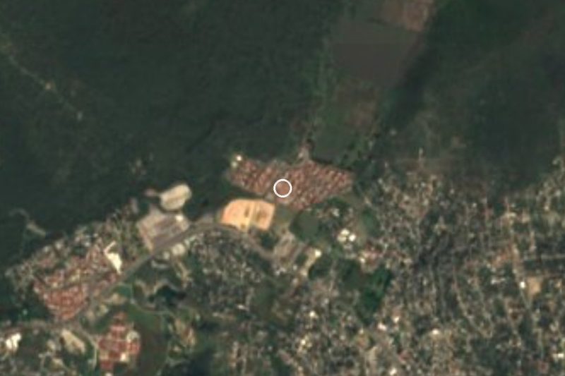
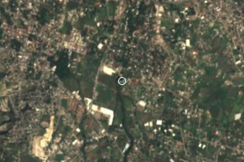
Near Tetecolala


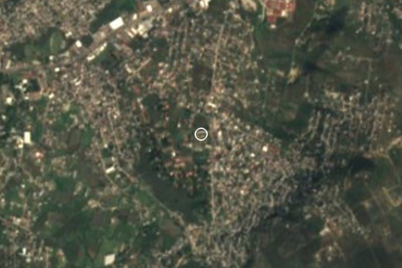
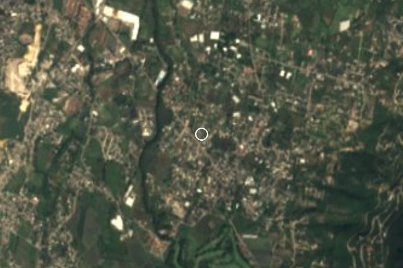

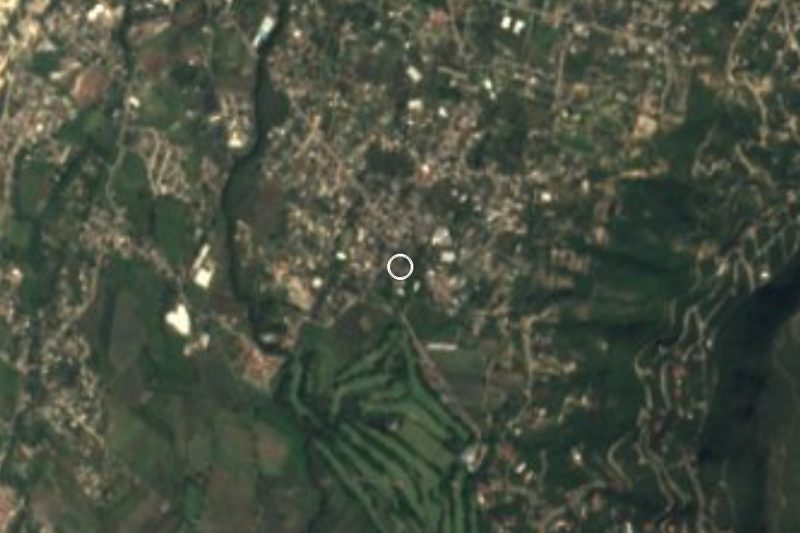


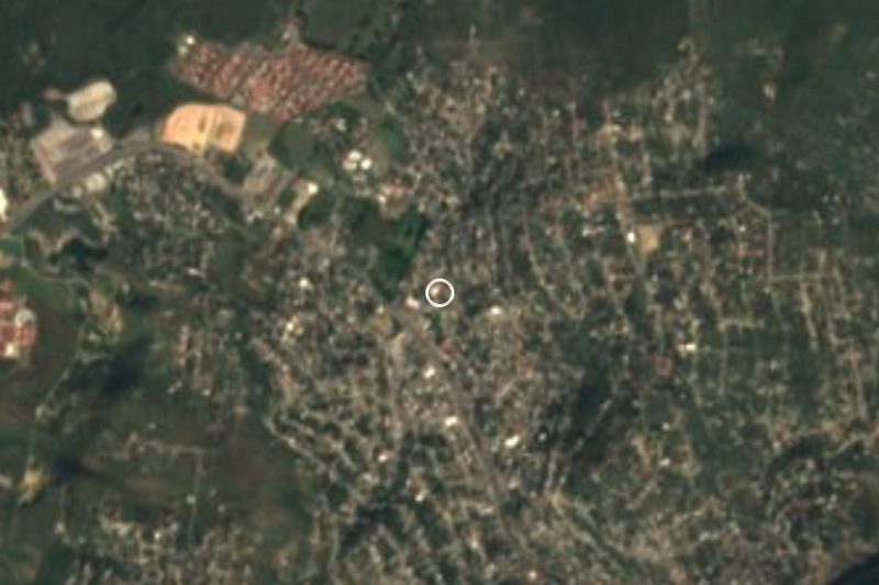

Drive times by road from OpenStreetMap, without traffic. Times marked ~ are estimated from the straight-line distance.
Location from OpenStreetMap. Written by Puebloteca.