Village Tepoztlán, Morelos Municipality of Tepoztlán Monasteries on the slopes of Popocatépetl Northern Morelos
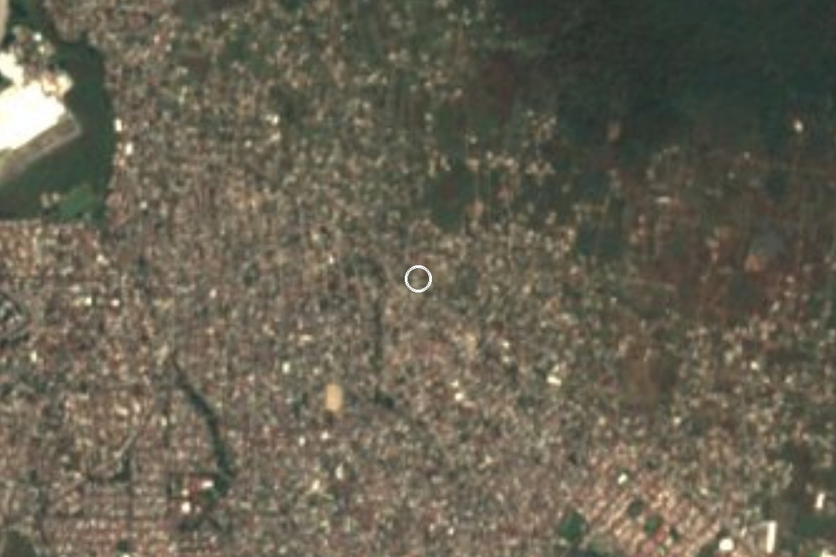
A colonia in Tepoztlán municipality, its third-largest locality: from 406 residents in 2000 to 4,321 in 2020.
From Cuernavaca: 10 min by car (8 km by road) How to get there ↓
Near here
See everything nearby ↓

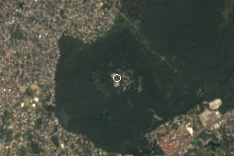
Plan your visit to Loma Bonita
Where to stay near Loma Bonita
Compare hotels, posadas and guest houses in Loma Bonita.
Tours to Loma Bonita
Day trips and guided outings from Tepoztlán often include Loma Bonita; with a local guide you can get there without a car.
 Tours from Cuernavaca
3hr Cooking Class in Cuernavaca 8 Recipes and Bottomless Drinks
From US$59
How to get to Loma Bonita
- From Cuernavaca: about 10 min by road (~8 km)
- Nearest airport: Mexico City (MEX), 1 h 25 min by car to Tepoztlán
Links open a partner site. We may earn a commission if you book, at no cost to you.
Tours from Cuernavaca, near Loma Bonita


Tours, prices and ratings from Viator, checked weekly. We may earn a commission if you book.
About Loma Bonita
Among the localities of Tepoztlán municipality, only the seat (14,719 residents in 2020) and Santa Catarina (5,552) are bigger than this Loma Bonita, which counted 4,321. Its growth is among the fastest in the state: 406 people in 2000, 1,042 in 2005, 2,332 in 2010 and those 4,321 in 2020, split almost evenly between women (2,176) and men (2,145). Inhabited houses numbered 717 in 2010 and 1,123 in 2020.
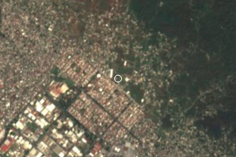
Its altitude is around 1,490 m and its postal code is 62529; it is a colonia on the western side of the municipality whose growth has come mostly in this century. Its closest neighbours are Tetenco (1,087 people), 800 m to the northwest, and Tetecolala (3,578), just under 1 km to the southeast; Loma Esmeralda lies about 3 km to the southeast. This Loma Bonita should not be mixed up with the ones in Yecapixtla, Ayala or Emiliano Zapata, nor with the one in Valle de Bravo.
According to Pueblos de México, average schooling in 2020 was 9.4 years, 2.6% of the population was illiterate and 35% had been born outside Morelos, so many residents arrived from other states. About 96% of homes had a toilet and 98.6% electricity. For a traveller there is no sight of its own.
How to get to Loma Bonita
Drive from Cuernavaca: 10 min, 8 km
This Loma Bonita sits about 10 km southwest of Tepoztlán in a straight line; by road the listings we checked give 14 to 20 km and about 20 minutes, so count on roughly 25 to 30 minutes by car from the town. Tetenco is 800 m away and Tetecolala just under 1 km, and those two names are handy for asking directions.
Coming from Cuernavaca, the public route to Tepoztlán goes through Lomas de Ahuatepec and Santa Catarina and takes around 40 minutes. Green combis leave about every 15 minutes from the Paloma de la Paz roundabout (fare near 35 pesos, subject to change), and Ometochtli line buses start at the Adolfo López Mateos market. If you drive from Mexico City, the La Pera-Cuautla highway (about 34 km) runs past the Tepoztlán toll plaza.
We found no published colectivo route to the colonia: ask the driver whether the bus enters Loma Bonita or leaves you in Santa Catarina, and finish the trip by taxi.
Directions to Loma Bonita on Google Maps
Distances are in a straight line; the road is usually longer.
Links open a partner site. We may earn a commission if you book, at no cost to you.
From the nearest cities to Loma Bonita
- Cuernavaca · 8 km by road, 10 min
- Cuautla · 56 km by road, 50 min
- Mexico City · 80 km by road, 1 h 20 min
Drive times by road from OpenStreetMap, without traffic or stops. Times marked ~ are estimated from the straight-line distance.
Visiting Loma Bonita: what to see and do
Stop in Tetenco, 800 m away, and Tetecolala, about 1 km.
Continue to Tepoztlán to see the Tepozteco pyramid.
Go on to Loma Esmeralda, about 3 km to the southeast.
Plan your trip
Places to stay in Loma Bonita
Compare hotels, posadas, and rentals in and around Loma Bonita.
Tours & activities
Day trips and guided outings from Tepoztlán often include Loma Bonita; with a local guide you can get there without a car.
Rental cars
Pick up a car at MEX (Mexico City): about 1 h 25 min by road to Tepoztlán, then 10 km more to Loma Bonita, on your own schedule.
Flights
The nearest airport with scheduled flights is Mexico City (MEX), about 1 h 25 min by road from Tepoztlán, the base for Loma Bonita.
Mobile data
Signal can drop away from Tepoztlán: download a map of the way to Loma Bonita before you set out, or carry an eSIM with data.
Links open a partner site. We may earn a commission if you book, at no cost to you.
When to go to Loma Bonita mild
Loma Bonita shares the climate of Tepoztlán, 10 km away. The best months to visit are January, February, March, and December.
See the month-by-month climate of Tepoztlán
Weather in Loma Bonita now and the next 7 days
Live forecast from Open-Meteo. Chance of rain is the day's highest.
The closest Pueblo Mágico: Tepoztlán

Tepoztlán is the Pueblo Mágico closest to Loma Bonita, with places to stay, food, and more to see.
Also close to
- Xochitepec · Morelos · 21 km away
- Tlayacapan · Morelos · 21 km away
- Tlaltizapán · Morelos · 27 km away
- Malinalco · Estado de México · 34 km away
- Tonatico · Estado de México · 54 km away
Closest to Loma Bonita
-
Ciudad Industrial del Valle de Cuernavaca · Village · 2 km away
-
Tetecolala · Village · 2 km away
-
Loma Esmeralda · Village · 3 km away
-
Lomas del Pedregal · Village · 3 km away
-
Ex Hacienda Atlacomulco · Landmark · 4 km away
-
Balneario El Texcal · Hot springs · 5 km away
-
Bosque Mirador · Nature reserve · 5 km away
-
Laguna de Hueyapan · Lagoon · 5 km away
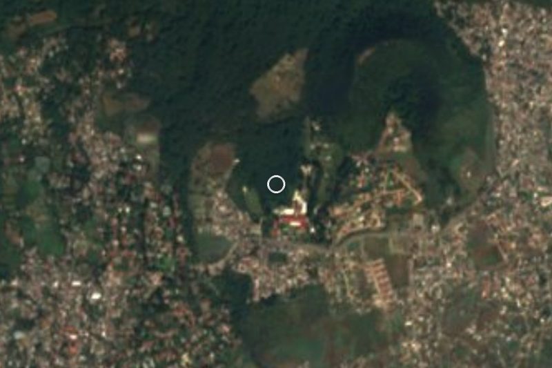

Near Loma Bonita

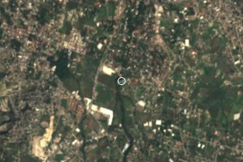


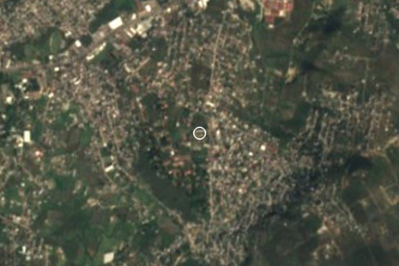


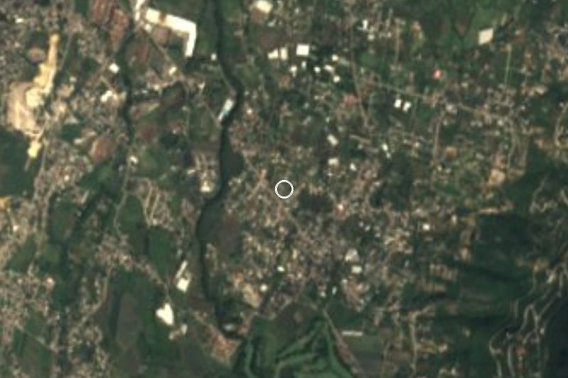


Drive times by road from OpenStreetMap, without traffic. Times marked ~ are estimated from the straight-line distance.
Location from OpenStreetMap. Written by Puebloteca.