Village Tepoztlán, Morelos Municipality of Tepoztlán Monasteries on the slopes of Popocatépetl Northern Morelos
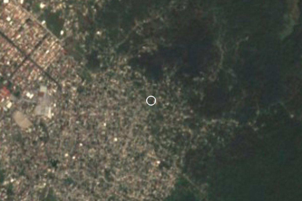
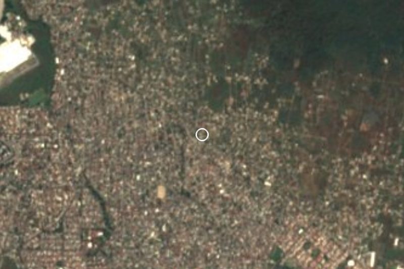
Colonia in southwest Tepoztlán at 1,413 m, next door to Loma Esmeralda: 167 residents in 2005, 1,897 in 2020.
From Cuernavaca: 15 min by car (10 km by road) How to get there ↓
Near here
See everything nearby ↓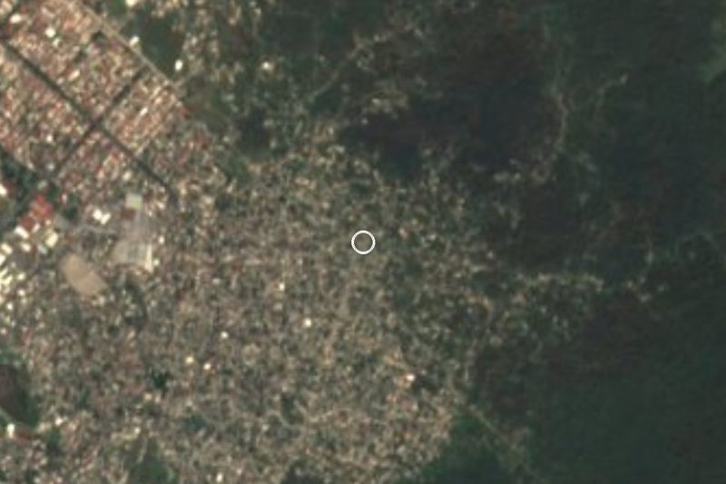


Plan your visit to Lomas del Pedregal
Where to stay near Lomas del Pedregal
Compare hotels, posadas and guest houses in Lomas del Pedregal.
Tours to Lomas del Pedregal
Day trips and guided outings from Tepoztlán often include Lomas del Pedregal; with a local guide you can get there without a car.
How to get to Lomas del Pedregal
- From Cuernavaca: about 15 min by road (~10 km)
- Nearest airport: Mexico City (MEX), 1 h 25 min by car to Tepoztlán
Links open a partner site. We may earn a commission if you book, at no cost to you.
About Lomas del Pedregal
From 167 residents in 2005 to 1,897 in 2020: Lomas del Pedregal multiplied its population elevenfold in fifteen years. It belongs to Tepoztlán municipality, Morelos, at about 1,413 m, in postal code area 62529. In ten years (2010 to 2020) inhabited houses went from 356 to 505. The 2020 count was 928 women and 969 men; 191 children up to age 5, 359 aged 6 to 14, and 154 people aged 60 or older.
Pueblos de México's climate series (1970 to 2025) classes it as semi-arid, averaging 20.1 °C, with April the warmest month (22.9 °C), January the coolest (17.5 °C) and September the wettest, with about 834 mm of rain a year. Average rainfall for 2015 to 2025 rose to 1,271 mm against 727 mm for 1970 to 2014, a striking change. Services are still catching up: in 2020 only 27% of homes had piped water and 34% had internet, although 90% had a mobile phone.
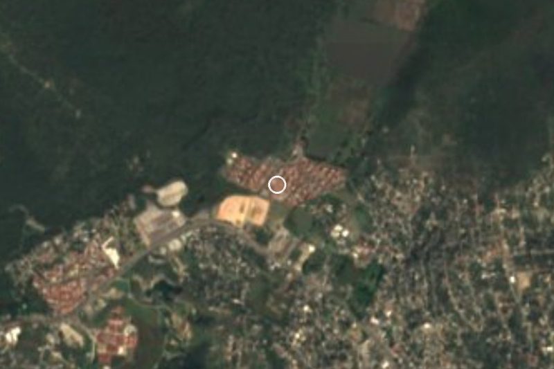
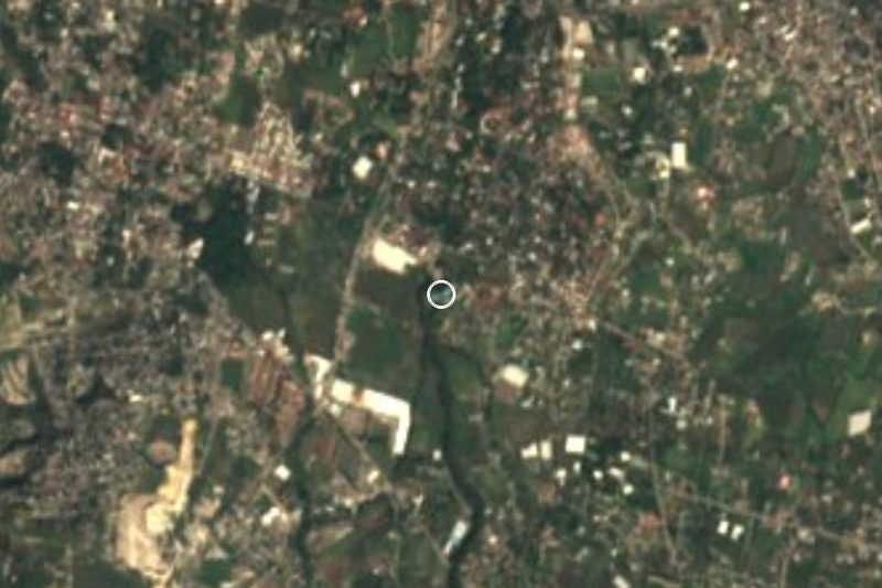
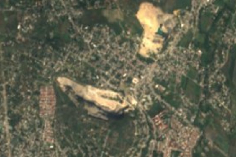
The name refers to the pedregal, a stretch of stony ground. Loma Esmeralda lies about 660 m to the northwest and Colonia Josefa Ortiz de Domínguez less than 500 m to the east; 1.7 km east there is the Laguna de Hueyapan locality, home to just five people. The peaks of La Corona (1,681 and 1,838 m) and Las Tetillas (1,636 m) show to the southeast. The nearest registered businesses are in the Jiutepec locality, and the Delf Inn and La Herradura hotels are 3 to 4 km away.
How to get to Lomas del Pedregal
Drive from Cuernavaca: 15 min, 10 km
Lomas del Pedregal is at the far southwest end of the municipality. It is 19 km by road to Tepoztlán (17 to 19 minutes according to Pueblos de México; allow about 25 in traffic) and around 9 km in a straight line to Cuernavaca.
By car, the La Pera-Cuautla highway (reached by the 95D from Mexico City as far as La Pera) crosses Tepoztlán, and from there the colonia is roughly 19 km to the southwest. Progreso, home to 16,746 people, is 2.9 km to the east and a good landmark when asking for directions.
Cuernavaca's public transport (Ometochtli buses from the Adolfo López Mateos market, or green combis from the Paloma de la Paz) goes to Tepoztlán, not to the colonia, and takes 35 to 40 minutes. We found no published route to Lomas del Pedregal; get off at Santa Catarina or Progreso and take a taxi for the final stretch.
Directions to Lomas del Pedregal on Google Maps
Distances are in a straight line; the road is usually longer.
Links open a partner site. We may earn a commission if you book, at no cost to you.
From the nearest cities to Lomas del Pedregal
- Cuernavaca · 10 km by road, 15 min
- Cuautla · 41 km by road, 50 min
- Taxco · 94 km by road, 1 h 25 min
Drive times by road from OpenStreetMap, without traffic or stops. Times marked ~ are estimated from the straight-line distance.
Visiting Lomas del Pedregal: what to see and do
Look at the stony ground that gives the colonia its name.
Raise your eyes to La Corona (1,838 m) and Las Tetillas to the southeast.
Walk to Colonia Josefa Ortiz de Domínguez, under 500 m east.
Check out the Laguna de Hueyapan area, 1.7 km east.
Continue to Tepoztlán (19 km) for the Tepozteco pyramid.
Plan your trip
Places to stay in Lomas del Pedregal
Compare hotels, posadas, and rentals in and around Lomas del Pedregal.
Tours & activities
Day trips and guided outings from Tepoztlán often include Lomas del Pedregal; with a local guide you can get there without a car.
Rental cars
Pick up a car at MEX (Mexico City): about 1 h 25 min by road to Tepoztlán, then 10 km more to Lomas del Pedregal, on your own schedule.
Flights
The nearest airport with scheduled flights is Mexico City (MEX), about 1 h 25 min by road from Tepoztlán, the base for Lomas del Pedregal.
Mobile data
Signal can drop away from Tepoztlán: download a map of the way to Lomas del Pedregal before you set out, or carry an eSIM with data.
Links open a partner site. We may earn a commission if you book, at no cost to you.
When to go to Lomas del Pedregal mild
Lomas del Pedregal shares the climate of Tepoztlán, 10 km away. The best months to visit are January, February, March, and December.
See the month-by-month climate of Tepoztlán
Weather in Lomas del Pedregal now and the next 7 days
Live forecast from Open-Meteo. Chance of rain is the day's highest.
The closest Pueblo Mágico: Tepoztlán

Tepoztlán is the Pueblo Mágico closest to Lomas del Pedregal, with places to stay, food, and more to see.
Also close to
- Tlayacapan · Morelos · 18 km away
- Xochitepec · Morelos · 21 km away
- Tlaltizapán · Morelos · 25 km away
- Malinalco · Estado de México · 37 km away
- Ixtapan de la Sal · Estado de México · 56 km away
Closest to Lomas del Pedregal
-
Loma Esmeralda · Village · 0 km away
-
Balneario El Texcal · Hot springs · 2 km away
-
Ciudad Industrial del Valle de Cuernavaca · Village · 2 km away
-
Laguna de Hueyapan · Lagoon · 2 km away
-
Tetecolala · Village · 2 km away
-
Loma Bonita · Village · 3 km away
-
Rinconada Acolapa · Village · 3 km away
-
Balneario Las Fuentes · Hot springs · 4 km away
Near Lomas del Pedregal
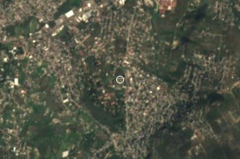
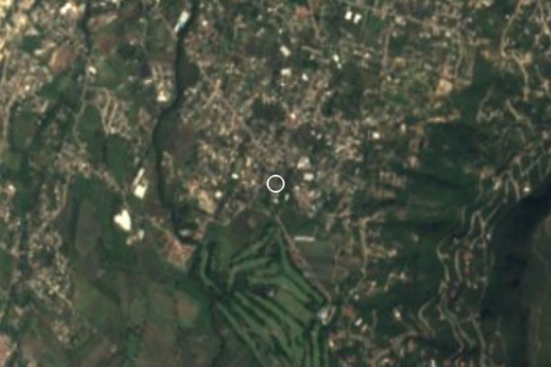
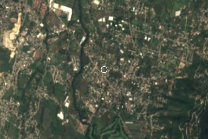

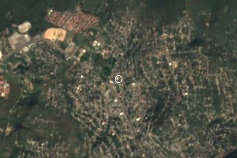
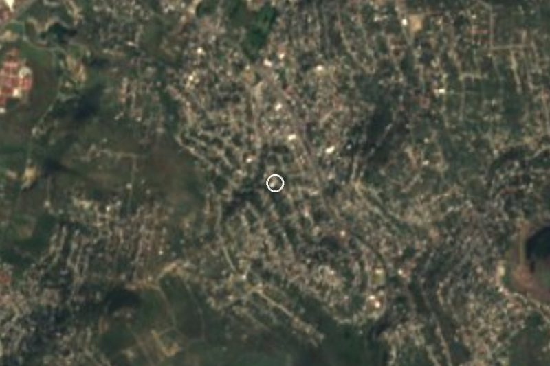


Drive times by road from OpenStreetMap, without traffic. Times marked ~ are estimated from the straight-line distance.
Location from OpenStreetMap. Written by Puebloteca.