Town Yautepec, Morelos Municipality of Yautepec Monasteries on the slopes of Popocatépetl Northern Morelos
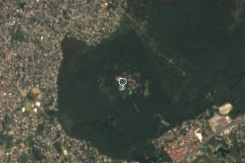
Colonia west of Yautepec at the foot of the Cerro de las Tetillas, with a San Miguel chapel; named for the Zapatista general Amador Salazar.
From Cuernavaca: 25 min by car (17 km by road) How to get there ↓
Near here

Plan your visit to Amador Salazar
Where to stay near Amador Salazar
Compare hotels, posadas and guest houses in Amador Salazar.
Tours to Amador Salazar
Day trips around Tepoztlán sometimes stop in Amador Salazar; a tour is the easy way to see it without a car.
 Tours from Cuernavaca
3hr Cooking Class in Cuernavaca 8 Recipes and Bottomless Drinks
From US$59
How to get to Amador Salazar
- From Cuernavaca: about 25 min by road (~17 km)
- Nearest airport: Mexico City (MEX), 1 h 25 min by car to Tepoztlán
Links open a partner site. We may earn a commission if you book, at no cost to you.
Tours from Cuernavaca, near Amador Salazar


Tours, prices and ratings from Viator, checked weekly. We may earn a commission if you book.
About Amador Salazar
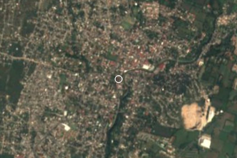
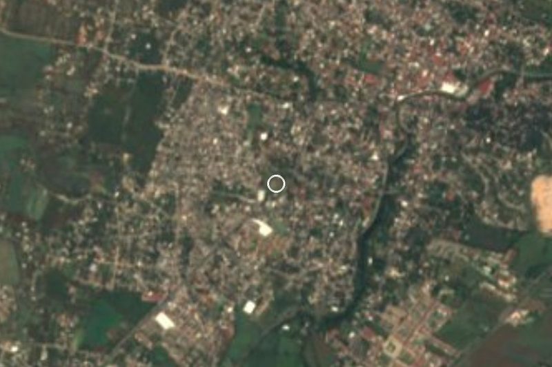
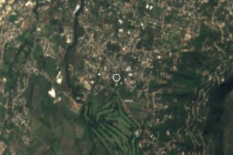
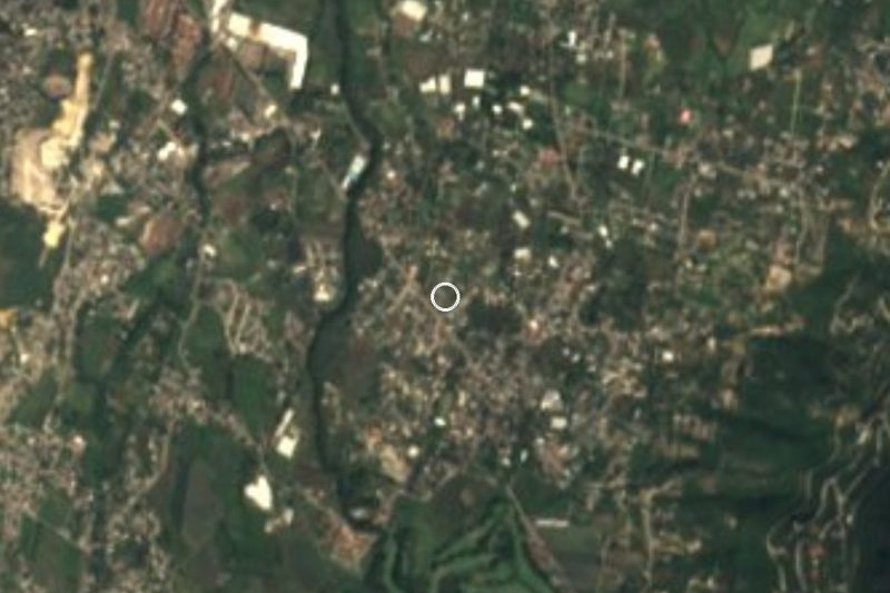
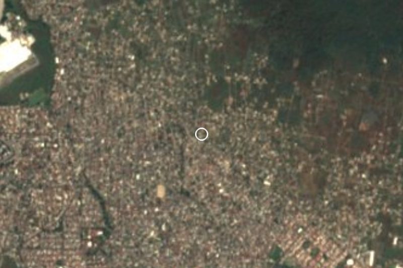
West of the city of Yautepec de Zaragoza, and already uphill, lies Colonia Amador Salazar, at about 1,500 m, higher than Yautepec's own centre at 1,212 m. It sits at the foot of the Cerro de las Tetillas, the hill Ignacio Manuel Altamirano mentions in his novel El Zarco. From its streets you can see the valleys of Cuernavaca and Cuautla and, on clear days, Popocatépetl and Iztaccíhuatl. Wikipedia puts the population at about 3,000, while other sites give up to roughly 4,400, so the exact figure is unconfirmed. The climate is mild and humid, with heavy rain from August to October.
Daily life is organised around the chapel of San Miguel Arcángel on the main street. Its feast day is 29 September and comes with a fair. The area also holds the Panteón Municipal de los Altos de Yautepec, the cemetery that serves the area.
The name belongs to a central figure of the Revolution in Morelos. Amador Salazar Jiménez was born in Cuernavaca on 30 April 1868 and was a cousin of Emiliano Zapata, since his father and Zapata's mother were siblings. He signed the Plan de Ayala in 1911, rose to divisional general in the Liberation Army of the South and operated around Yautepec during the 1914 offensive against Huerta. He died on 16 April 1916 from a stray bullet, reportedly in Yautepec, and was buried in a pyramid-shaped mausoleum in Tlaltizapán, dressed as a charro. The city of Yautepec, with 44,353 people in 2020, is about 5 km to the east.
How to get to Amador Salazar
Drive from Cuernavaca: 25 min, 17 km
The colonia lies about 5 km west of central Yautepec, on the climb. By car from Cuernavaca it is about 24 km and approx. 30 minutes (Rome2Rio); from Tepoztlán, the nearest pueblo in a straight line (11 km), allow approx. 30 minutes. Coming from Mexico City, take the Autopista del Sol (95D) to La Pera, where the La Pera-Cuautla toll road (160D) begins, and leave at Oaxtepec; from there continue to Yautepec and climb west to the colonia.
By bus, Rome2Rio lists Pullman de Morelos departures from Terminal Central del Sur at Taxqueña to the Tepoztlán toll booth, approx. 1 hour, every 30 minutes. From Tepoztlán to Yautepec, vans run about every 15 minutes (approx. 30 minutes). From Cuernavaca, Wikiroutes lists a minibus route, number 19, to Yautepec with departures every 15 minutes, though the data is undated. For the last stretch, Yautepec to the colonia, We found no named line: take a taxi or ask for the combi that goes up to Amador Salazar.
Directions to Amador Salazar on Google Maps
Distances are in a straight line; the road is usually longer.
Links open a partner site. We may earn a commission if you book, at no cost to you.
From the nearest cities to Amador Salazar
- Cuernavaca · 17 km by road, 25 min
- Cuautla · 35 km by road, 35 min
- Taxco · 94 km by road, 1 h 30 min
Drive times by road from OpenStreetMap, without traffic or stops. Times marked ~ are estimated from the straight-line distance.
What to see in Amador Salazar 3
Sights with their own page, closest to the centre first.
Hot springs
-
Balneario El Texcal · Hot springs · 3 km from the centre
Pools inside El Texcal state park in Jiutepec, run by Tejalpa's communal landholders. Sources disagree on hours, fees and whether it is open now.
Lagoons
-
Laguna de Hueyapan · Lagoon · 3 km from the centre
Spring-fed lagoon inside El Texcal state park in Jiutepec: a Ramsar wetland since 2010 and a key recharge zone for Morelos's aquifers.
Nature reserves
-
Cañón de Lobos · Nature reserve · 3 km from the centre
Dry-forest canyon between Cuernavaca and Yautepec, crossed by Federal Highway 138; 148 butterfly species and a favourite climb for road cyclists.
Map of Amador Salazar
Neighbourhoods and villages of Amador Salazar
Part of Amador Salazar or just outside it, closest first.
-
Independencia · Village · 1 km from the centre
Colonia in Jiutepec founded in 1979, at about 1,450 m, east of the town centre and roughly 12 km from Cuernavaca. -
La Joya · Village · 1 km from the centre
Yautepec locality founded in 1978, now one of the municipality's largest: 14,126 people in 2020, between Cuernavaca and Yautepec. -
Rinconada Acolapa · Village · 2 km from the centre
Residential community in Tepoztlán, formerly Unidad Habitacional Rinconada Acolapa, with 2,772 people in 2020; no tourist sights of its own. -
Progreso · Village · 3 km from the centre
Second most populous locality in Jiutepec, 16,746 people in 2020, 2.6 km east of the municipal seat and about 10 km from Cuernavaca.
Day trips and tours from Amador Salazar
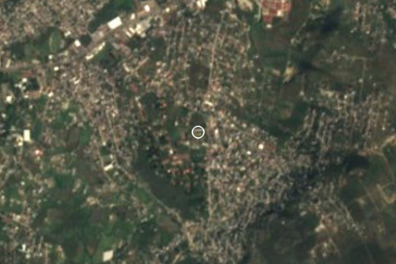
The closest Pueblos Mágicos and places to visit, with the drive from Amador Salazar and tours that leave from it.
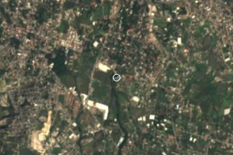


Times marked ~ are estimated from the distance. Links open a partner site. We may earn a commission if you book, at no cost to you.
Before you go: getting to and around Amador Salazar
- The nearest airport is Mexico City (MEX).
- The best months to go are January, February, March, and December.
- Everything on this page is in or close to the centre: walk, or take a short taxi ride.
- For day trips a rental car gives the most freedom; the tours above leave from Amador Salazar.
Before you go to Amador Salazar: hours, prices and tips
- Best time of day
- 29 September is the feast of San Miguel Arcángel at the colonia's chapel, with a fair. Wikipedia · checked Oct 2026
Hours and prices change, especially around holidays. Each fact links to where we checked it.
Visiting Amador Salazar: what to see and do
Visit the chapel of San Miguel Arcángel, on the main street.
Look out over the valleys of Cuernavaca and Cuautla and, if it is clear, towards Popocatépetl and Iztaccíhuatl.
Spot the Cerro de las Tetillas, the hill of Altamirano's El Zarco, above the colonia.
Come on 29 September for the San Miguel fair.
Go down to central Yautepec, about 5 km away, and look in on the former Dominican convent of the Asunción de María.
Continue to Tlaltizapán, where General Amador Salazar is buried.
Plan your trip
Places to stay in Amador Salazar
Compare hotels, posadas, and rentals in and around Amador Salazar.
Tours & activities
Day trips around Tepoztlán sometimes stop in Amador Salazar; a tour is the easy way to see it without a car.
Rental cars
Pick up a car at MEX (Mexico City): about 1 h 25 min by road to Tepoztlán, then 11 km more to Amador Salazar, on your own schedule.
Flights
The nearest airport with scheduled flights is Mexico City (MEX), about 1 h 25 min by road from Tepoztlán, the base for Amador Salazar.
Mobile data
Signal can drop away from Tepoztlán: download a map of the way to Amador Salazar before you set out, or carry an eSIM with data.
Links open a partner site. We may earn a commission if you book, at no cost to you.
When to go to Amador Salazar mild
Amador Salazar shares the climate of Tepoztlán, 11 km away. The best months to visit are January, February, March, and December.
See the month-by-month climate of Tepoztlán
Weather in Amador Salazar now and the next 7 days
Live forecast from Open-Meteo. Chance of rain is the day's highest.
The closest Pueblo Mágico: Tepoztlán

Tepoztlán is the Pueblo Mágico closest to Amador Salazar, with places to stay, food, and more to see.
Also close to
- Tlayacapan · Morelos · 17 km away
- Xochitepec · Morelos · 22 km away
- Tlaltizapán · Morelos · 22 km away
- Malinalco · Estado de México · 41 km away
- Ixtapan de la Sal · Estado de México · 59 km away
Near Amador Salazar



Drive times by road from OpenStreetMap, without traffic. Times marked ~ are estimated from the straight-line distance.
Location from OpenStreetMap. Written by Puebloteca.