Village Tepoztlán, Morelos Municipality of Tepoztlán Monasteries on the slopes of Popocatépetl Northern Morelos
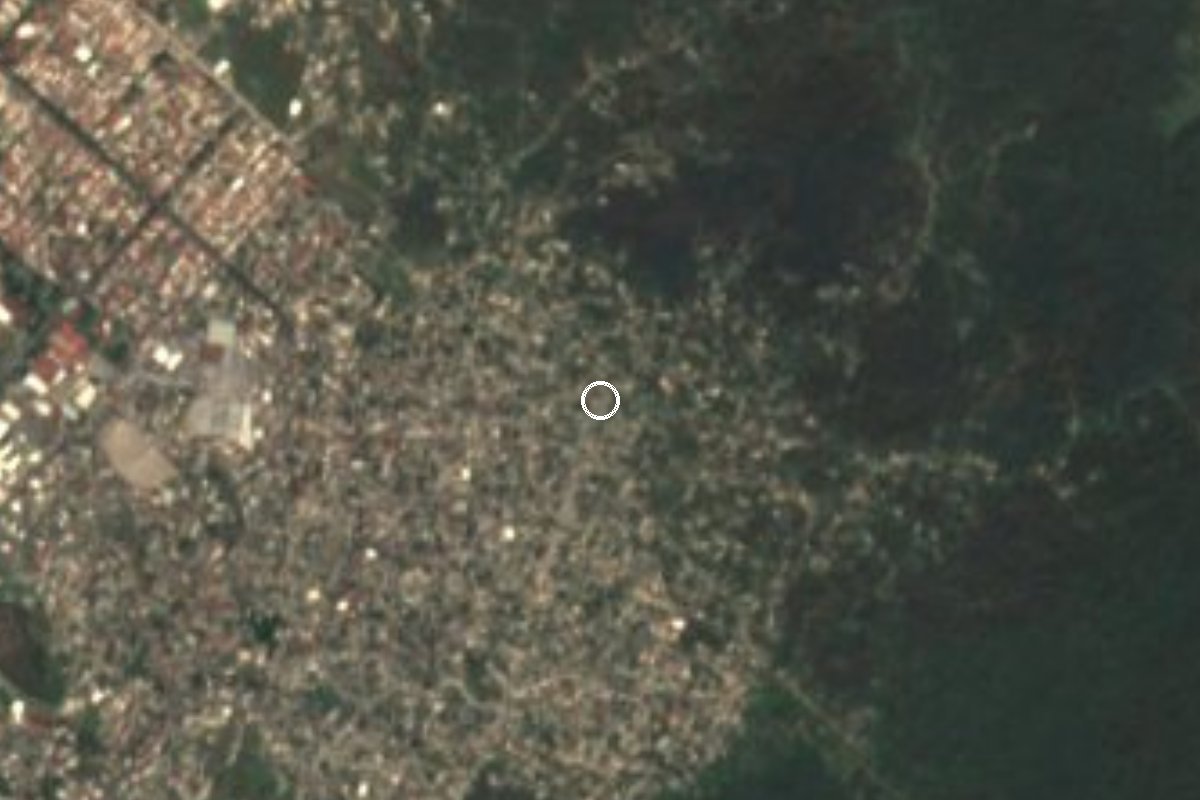
Colonia in southwest Tepoztlán that grew from 38 residents in 2000 to 1,916 in 2020; it has its own primary school on Calle Agua Marina.
From Cuernavaca: 15 min by car (10 km by road) How to get there ↓
Near here
See everything nearby ↓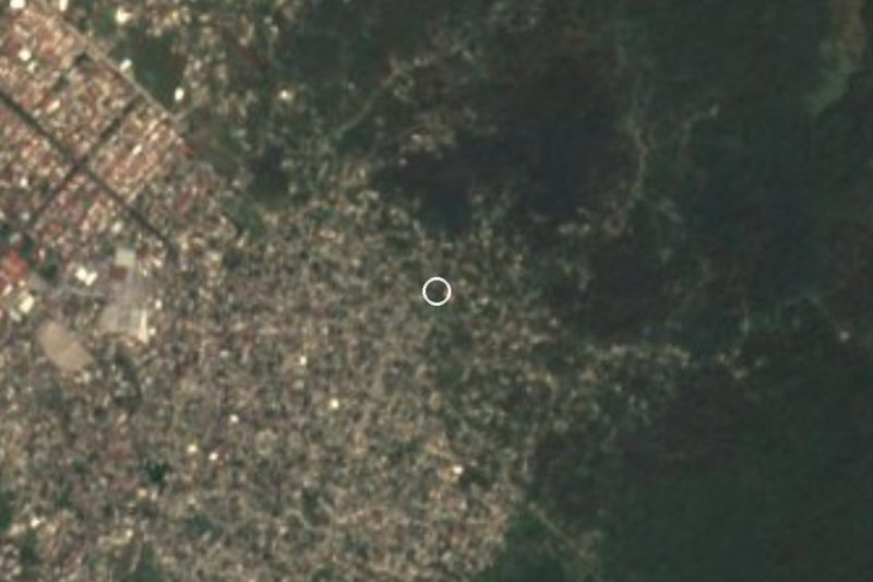


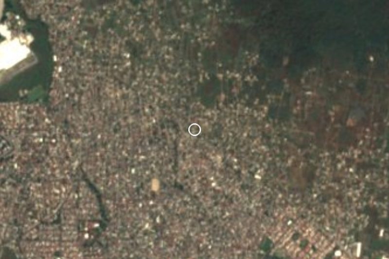
Plan your visit to Loma Esmeralda
Where to stay near Loma Esmeralda
Compare hotels, posadas and guest houses in Loma Esmeralda.
Tours to Loma Esmeralda
Day trips and guided outings from Tepoztlán often include Loma Esmeralda; with a local guide you can get there without a car.
 Tours from Cuernavaca
3hr Cooking Class in Cuernavaca 8 Recipes and Bottomless Drinks
From US$59
How to get to Loma Esmeralda
- From Cuernavaca: about 15 min by road (~10 km)
- Nearest airport: Mexico City (MEX), 1 h 25 min by car to Tepoztlán
Links open a partner site. We may earn a commission if you book, at no cost to you.
Tours from Cuernavaca, near Loma Esmeralda


Tours, prices and ratings from Viator, checked weekly. We may earn a commission if you book.
About Loma Esmeralda
Thirty-eight people lived in Loma Esmeralda in 2000. A decade later there were 929, and in 2020 there were 1,916: the population doubled between the last two censuses. It forms part of Tepoztlán municipality, Morelos, on its southwest side, at about 1,420 m, and shares postal code 62529. Its inhabited houses numbered 276 in 2010 and 468 in 2020, and children aged 0 to 5 went from 47 in 2005 to 216 in 2020, a sign of a place full of young families.
It has a public morning primary school, code 17DPR0115Y, on Calle Agua Marina. According to Pueblos de México, 41.8% of residents were born outside Morelos and 15.6% identify as indigenous; 8.4% speak an indigenous language. In 2020, 51.5% of homes had piped water, compared with under 9% in 2010.
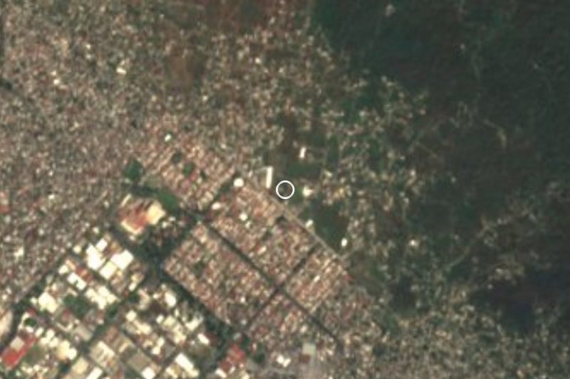
The surroundings are a string of colonias: Bosques de Santa Catarina 1 km to the south, Colonia Josefa Ortiz de Domínguez 1.1 km to the east and Tetecolala about 1.9 km to the northwest. Some 3.4 km away is Progreso, with 16,746 people, in the municipality of Jiutepec. The nearest peak is La Corona (1,838 m), about 4.6 km to the east. Tepoztlán's town centre is 19 km away by road.
How to get to Loma Esmeralda
Drive from Cuernavaca: 15 min, 10 km
Loma Esmeralda is 19 km by road from Tepoztlán, about 15 minutes according to Pueblos de México (other listings say 15 km and 19 minutes), so plan on roughly 20 to 25 minutes at the wheel. In a straight line Cuernavaca is some 9 km away, per the project listing.
By toll road, drivers from the south of Mexico City follow the Mexico-Cuernavaca highway (95D) to the La Pera junction, then the La Pera-Cuautla road, which is around 34 km long with toll booths; the colonia lies about 19 km southwest of Tepoztlán. Travellers starting in Cuernavaca can use the services to Tepoztlán (35 to 40 minutes via Santa Catarina), whether green combis or Ometochtli buses, but neither advertises a stop in Loma Esmeralda.
The most practical plan is to get off at Santa Catarina or at Progreso, 3.4 km to the east, and take a taxi. The nearest hotels the listing reports (Delf Inn, Emperador and La Herradura) are 2 to 4 km away.
Directions to Loma Esmeralda on Google Maps
Distances are in a straight line; the road is usually longer.
Links open a partner site. We may earn a commission if you book, at no cost to you.
From the nearest cities to Loma Esmeralda
- Cuernavaca · 10 km by road, 15 min
- Cuautla · 41 km by road, 50 min
- Taxco · 94 km by road, 1 h 25 min
Drive times by road from OpenStreetMap, without traffic or stops. Times marked ~ are estimated from the straight-line distance.
Visiting Loma Esmeralda: what to see and do
Look for the primary school on Calle Agua Marina, the most recognisable building in the colonia.
Walk towards Bosques de Santa Catarina, 1 km to the south.
Look east to La Corona (1,838 m), the peak on the skyline.
Head down to Progreso, 3.4 km away, for shopping and food.
Continue to Tepoztlán (19 km) for its centre and pyramid.
Plan your trip
Places to stay in Loma Esmeralda
Compare hotels, posadas, and rentals in and around Loma Esmeralda.
Tours & activities
Day trips and guided outings from Tepoztlán often include Loma Esmeralda; with a local guide you can get there without a car.
Rental cars
Pick up a car at MEX (Mexico City): about 1 h 25 min by road to Tepoztlán, then 10 km more to Loma Esmeralda, on your own schedule.
Flights
The nearest airport with scheduled flights is Mexico City (MEX), about 1 h 25 min by road from Tepoztlán, the base for Loma Esmeralda.
Mobile data
Signal can drop away from Tepoztlán: download a map of the way to Loma Esmeralda before you set out, or carry an eSIM with data.
Links open a partner site. We may earn a commission if you book, at no cost to you.
When to go to Loma Esmeralda mild
Loma Esmeralda shares the climate of Tepoztlán, 10 km away. The best months to visit are January, February, March, and December.
See the month-by-month climate of Tepoztlán
Weather in Loma Esmeralda now and the next 7 days
Live forecast from Open-Meteo. Chance of rain is the day's highest.
The closest Pueblo Mágico: Tepoztlán

Tepoztlán is the Pueblo Mágico closest to Loma Esmeralda, with places to stay, food, and more to see.
Also close to
- Tlayacapan · Morelos · 19 km away
- Xochitepec · Morelos · 21 km away
- Tlaltizapán · Morelos · 25 km away
- Malinalco · Estado de México · 37 km away
- Ixtapan de la Sal · Estado de México · 56 km away
Closest to Loma Esmeralda
-
Lomas del Pedregal · Village · 0 km away
-
Tetecolala · Village · 1 km away
-
Balneario El Texcal · Hot springs · 2 km away
-
Ciudad Industrial del Valle de Cuernavaca · Village · 2 km away
-
Laguna de Hueyapan · Lagoon · 2 km away
-
Loma Bonita · Village · 3 km away
-
Rinconada Acolapa · Village · 3 km away
-
Balneario Las Fuentes · Hot springs · 4 km away
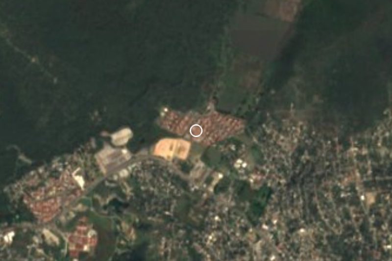
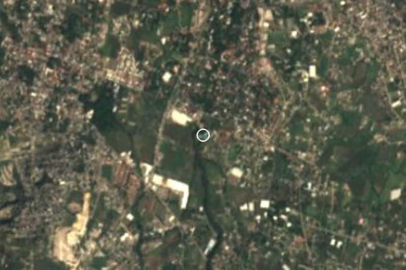
Near Loma Esmeralda
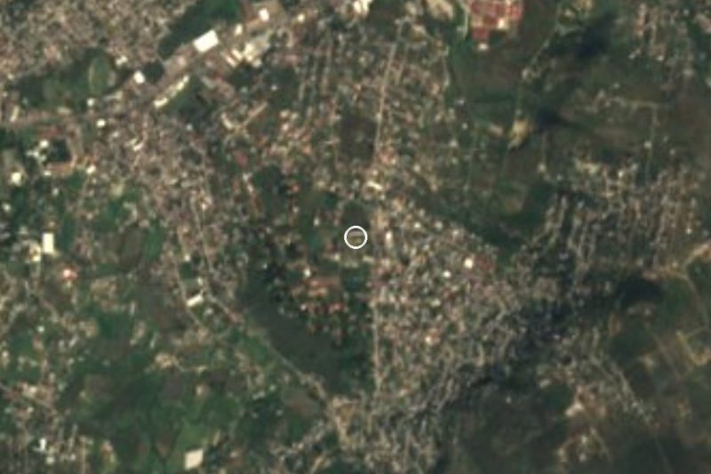

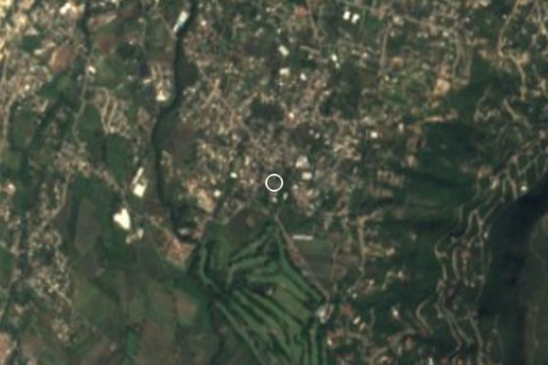
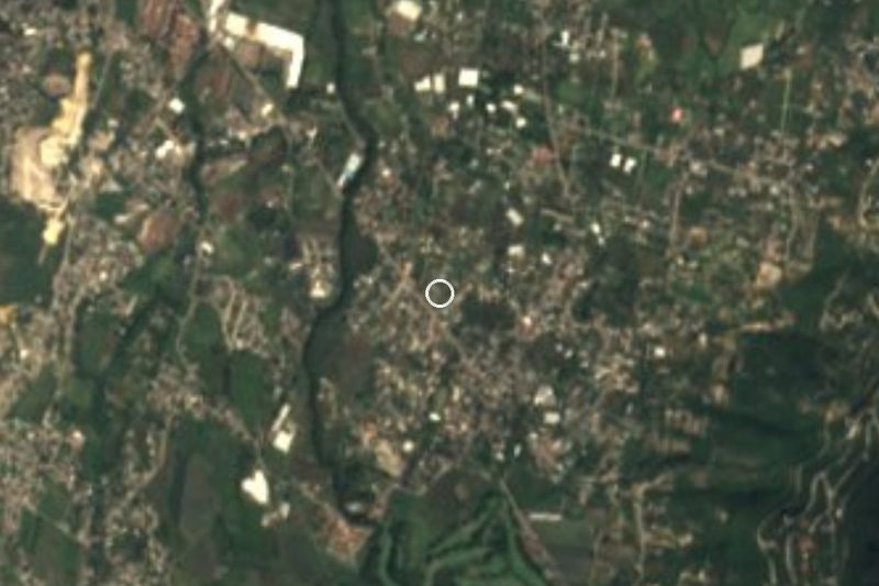

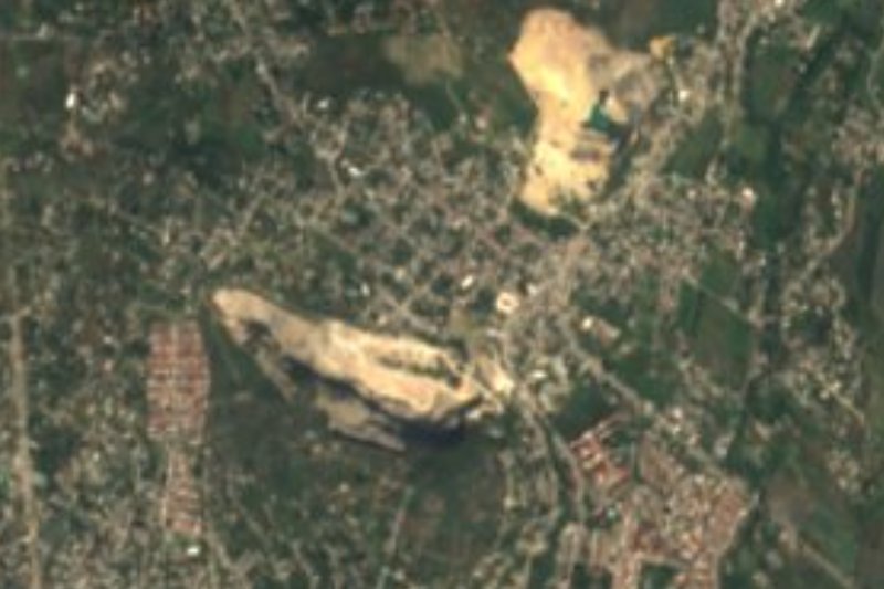


Drive times by road from OpenStreetMap, without traffic. Times marked ~ are estimated from the straight-line distance.
Location from OpenStreetMap. Written by Puebloteca.