Nature reserve Yautepec, Morelos Municipality of Yautepec Monasteries on the slopes of Popocatépetl Northern Morelos
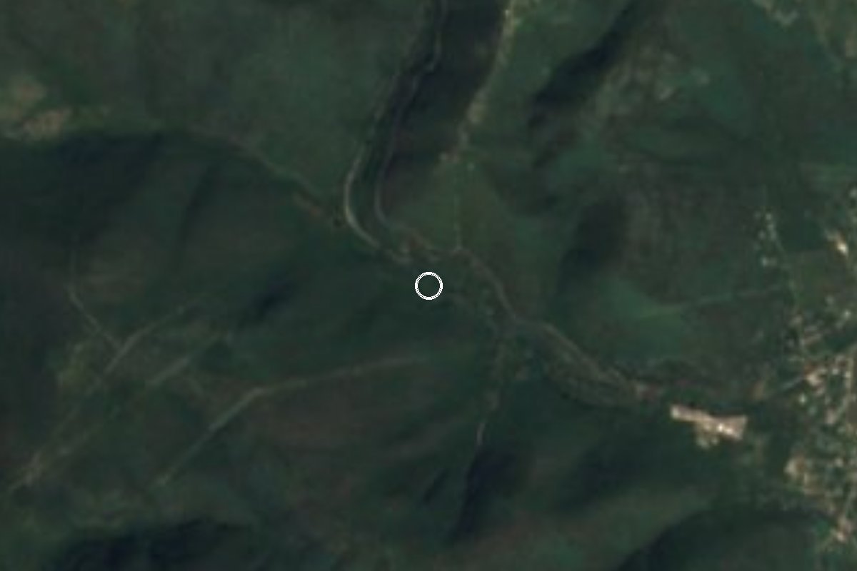
Dry-forest canyon between Cuernavaca and Yautepec, crossed by Federal Highway 138; 148 butterfly species and a favourite climb for road cyclists.
From Cuernavaca: 30 min by car (21 km by road) How to get there ↓
Near here
See everything nearby ↓
Plan your visit to Cañón de Lobos
Where to stay near Cañón de Lobos
Compare hotels, posadas and guest houses in Cañón de Lobos.
Tours to Cañón de Lobos
Day trips and guided outings from Tepoztlán often include Cañón de Lobos; with a local guide you can get there without a car.
 Tours from Cuernavaca
3hr Cooking Class in Cuernavaca 8 Recipes and Bottomless Drinks
From US$59
How to get to Cañón de Lobos
- From Cuernavaca: about 30 min by road (~21 km)
- Nearest airport: Mexico City (MEX), 1 h 25 min by car to Tepoztlán
Links open a partner site. We may earn a commission if you book, at no cost to you.
Tours from Cuernavaca, near Cañón de Lobos


Tours, prices and ratings from Viator, checked weekly. We may earn a commission if you book.
About Cañón de Lobos
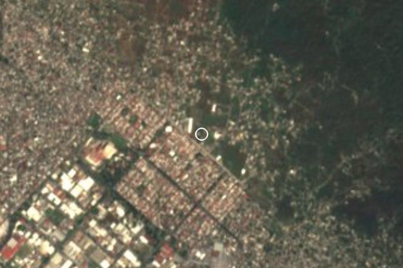
A small range, the Sierra de Yautepec, divides the Cuernavaca and Yautepec valleys, and Cañón de Lobos is the ravine that cuts through it between two of its hills. Federal Highway 138 runs through it between kilometres 17 and 20 out of Cuernavaca on the way to Cuautla, in Yautepec municipality and close to the village of Amador Salazar. The slopes rise from about 1,200 to 1,840 m, and in the rainy season an intermittent stream almost 6 km long flows the length of the canyon, beside the road.
The vegetation is tropical dry forest: trees under 15 m that shed nearly all their leaves between December and May, among them pochote, shaving-brush tree, papery-barked Bursera, tree morning glory and frangipani, with plenty of lianas. A UNAM study that sampled the canyon from 1983 to 1986 recorded 148 butterfly species, 21 of them endemic to Mexico, one of the richest counts for any ravine in Morelos; most fly in the rainy season. The Key Biodiversity Areas database lists a site of about 4,500 hectares with 61 bird species, including Mexican endemics such as the West Mexican chachalaca, happy wren and golden-cheeked woodpecker, and flags Cuernavaca's urban growth as the main threat.
The road has a story of its own. In 1983 it was a narrow lane with rock on one side and a drop on the other; Governor Lauro Ortega had a second carriageway laid out along the line of power poles and the old one widened, and work on the dual road began that October. Today the curves are a popular climb for road cyclists riding from Cuernavaca to Yautepec and Oaxtepec, and also a stretch where local papers often report crashes.
How to get to Cañón de Lobos
Drive from Cuernavaca: 30 min, 21 km
The canyon is on Federal Highway 138 from Cuernavaca to Cuautla, between kilometres 17 and 20 counted from Cuernavaca, the stretch local papers call the Cuernavaca–Yautepec federal road. From central Cuernavaca head east on that road; it is about 17 km to the start of the canyon (roughly 20-30 minutes depending on traffic), and on the far side it drops to Amador Salazar and Yautepec. Tepoztlán, the nearest Pueblo Mágico, is about 14 km away in a straight line. It is a dual carriageway with curves and grades where local papers often report crashes: cycle it in daylight and only with road experience, and do not stop on the bends by car. Diario de Morelos describes a cycling route from central Cuernavaca through the canyon to Yautepec and on along the bike path to Oaxtepec, where buses take bicycles for the trip back.
Directions to Cañón de Lobos on Google Maps
Distances are in a straight line; the road is usually longer.
Links open a partner site. We may earn a commission if you book, at no cost to you.
From the nearest cities to Cañón de Lobos
- Cuernavaca · 21 km by road, 30 min
- Cuautla · 31 km by road, 30 min
- Taxco · 96 km by road, 1 h 30 min
Drive times by road from OpenStreetMap, without traffic or stops. Times marked ~ are estimated from the straight-line distance.
Before you go to Cañón de Lobos: hours, prices and tips
- Best season
- The forest is leafless from about December to May and turns green with the summer rains; butterflies are most abundant in the rainy season. Revista Mexicana de Biodiversidad (2010) · checked Oct 2026
Hours and prices change, especially around holidays. Each fact links to where we checked it.
Visiting Cañón de Lobos: what to see and do
Ride the curving stretch between Cuernavaca and Yautepec, as local road cyclists do.
Look for butterflies in the rainy season, when most of the 148 recorded species are on the wing.
Watch for endemic birds such as the West Mexican chachalaca and golden-cheeked woodpecker.
See the forest change: grey and leafless from December to May, green in summer.
Trace the stream that runs down the canyon in the rainy months.
Plan your trip
Places to stay in Cañón de Lobos
Compare hotels, posadas, and rentals in and around Cañón de Lobos.
Tours & activities
Day trips and guided outings from Tepoztlán often include Cañón de Lobos; with a local guide you can get there without a car.
Rental cars
Pick up a car at MEX (Mexico City): about 1 h 25 min by road to Tepoztlán, then 14 km more to Cañón de Lobos, on your own schedule.
Flights
The nearest airport with scheduled flights is Mexico City (MEX), about 1 h 25 min by road from Tepoztlán, the base for Cañón de Lobos.
Travel insurance
If you plan on hiking at Cañón de Lobos, check that your policy covers it: some plans leave adventure activities out.
Mobile data
Signal can drop away from Tepoztlán: download a map of the way to Cañón de Lobos before you set out, or carry an eSIM with data.
Links open a partner site. We may earn a commission if you book, at no cost to you.
When to go to Cañón de Lobos mild
Cañón de Lobos shares the climate of Tepoztlán, 14 km away. The best months to visit are January, February, March, and December.
See the month-by-month climate of Tepoztlán
Weather in Cañón de Lobos now and the next 7 days
Live forecast from Open-Meteo. Chance of rain is the day's highest.
The closest Pueblo Mágico: Tepoztlán

Tepoztlán is the Pueblo Mágico closest to Cañón de Lobos, with places to stay, food, and more to see.
Also close to
- Tlayacapan · Morelos · 18 km away
- Tlaltizapán · Morelos · 19 km away
- Xochitepec · Morelos · 21 km away
- Malinalco · Estado de México · 41 km away
- Tonatico · Estado de México · 58 km away
Closest to Cañón de Lobos
-
Amador Salazar · Town · 3 km away
-
Independencia · Village · 3 km away
-
Cliserio Alanís · Village · 4 km away
-
El Naranjo · Village · 4 km away
-
La Joya · Village · 4 km away
-
Progreso · Village · 4 km away
-
Rinconada Acolapa · Village · 4 km away
-
Balneario El Texcal · Hot springs · 5 km away
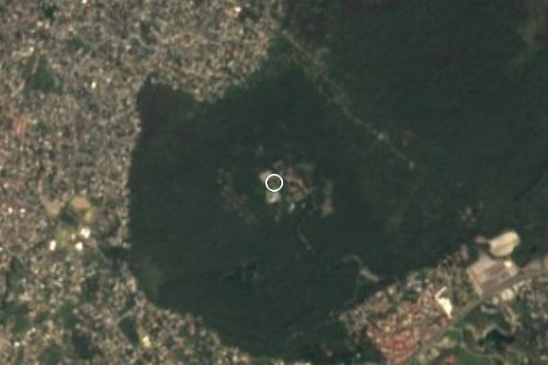
Near Cañón de Lobos



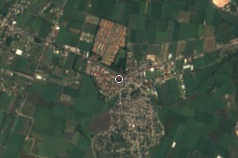

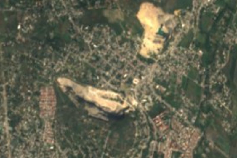
Drive times by road from OpenStreetMap, without traffic. Times marked ~ are estimated from the straight-line distance.
Lists with Cañón de Lobos
Nature Parks in Morelos · 8 Nature Parks near Cuernavaca · 18 Nature Parks near Tepoztlán · 19 Nature Parks near Cuautla · 13 Nature Parks near Tlaltizapán · 10 Nature Parks near Xochitepec · 15 Nature Parks near Malinalco · 17 Nature Parks near Tonatico · 10Location from OpenStreetMap. Written by Puebloteca.