

Village Temixco, Morelos Municipality of Temixco Southern Morelos
Temixco locality 2.7 km from the municipal centre, beside the Autopista del Sol; it grew from 370 to 1,379 residents between 2000 and 2020.
From Cuernavaca: 15 min by car (11 km by road) How to get there ↓
Near here
See everything nearby ↓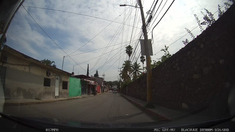


Plan your visit to Campo Sotelo
Where to stay near Campo Sotelo
Compare hotels, posadas and guest houses in Campo Sotelo.
Tours to Campo Sotelo
Day trips and guided outings from Xochitepec often include Campo Sotelo; with a local guide you can get there without a car.
 Tours from Cuernavaca
3hr Cooking Class in Cuernavaca 8 Recipes and Bottomless Drinks
From US$59
How to get to Campo Sotelo
- From Cuernavaca: about 15 min by road (~11 km)
- Nearest airport: Toluca (TLC), 1 h 59 min by car to Xochitepec
Links open a partner site. We may earn a commission if you book, at no cost to you.
Tours from Cuernavaca, near Campo Sotelo


Tours, prices and ratings from Viator, checked weekly. We may earn a commission if you book.
About Campo Sotelo
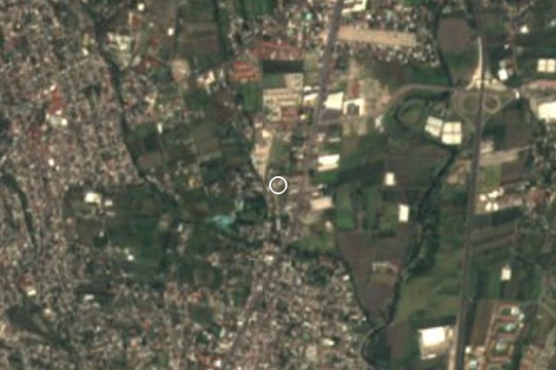
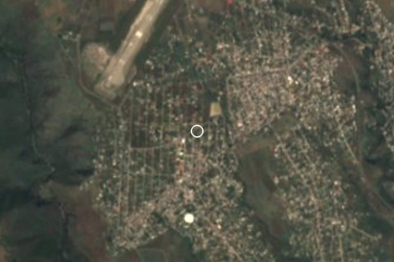
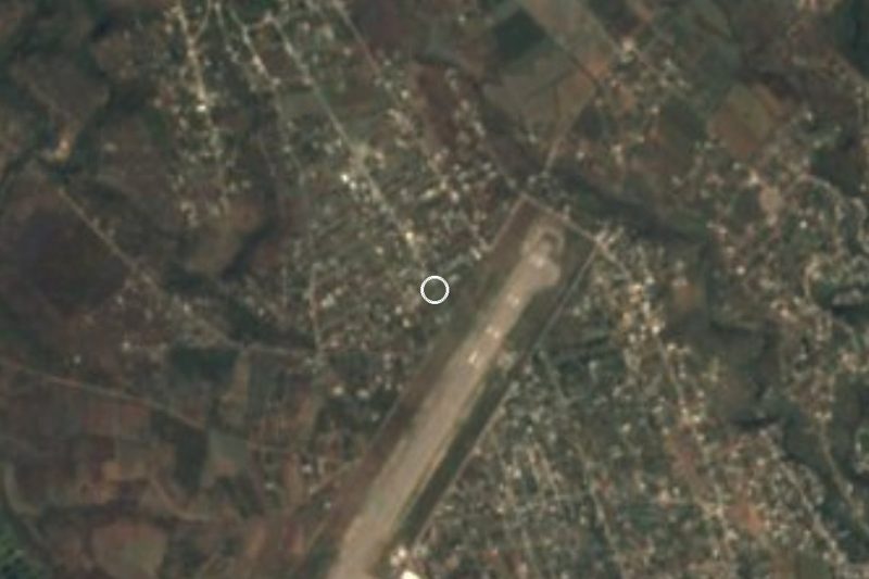
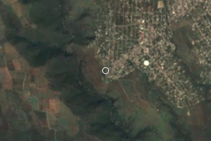
Campo Sotelo is a rural locality in the municipality of Temixco, Morelos, at 1,230 metres above sea level. English Wikipedia's Temixco article puts it 2.7 km from the town of Temixco, which in turn lies about 6 km from Cuernavaca and some 85 km from Mexico City.
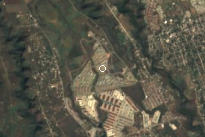
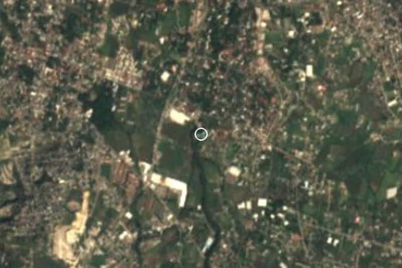
INEGI censuses show very fast growth in a short time: 370 residents in 2000, 820 in 2010 and 1,379 in 2020, nearly four times as many in twenty years. Proximity to Cuernavaca explains much of it. OpenStreetMap shows new housing estates around the village (Geovillas La Hacienda, Ojo de Agua) and roadside businesses, and a spa, the Balneario Ex-Hacienda de Temixco, a little over a kilometre away.
The Autopista del Sol (Mexico 95D) runs through the municipality from north to south with several exits in Temixco, and its line passes very close to the village; Wikimedia Commons holds a photograph of the motorway about 400 metres from the locality's coordinates. The free road, Mexico 95 (Avenida Adolfo López Mateos), runs alongside it, and the Apatlaco river flows nearby.
How to get to Campo Sotelo
Drive from Cuernavaca: 15 min, 11 km
Campo Sotelo is about 10 km in a straight line from Cuernavaca and 2.7 km (per Wikipedia) from the town of Temixco. From Cuernavaca take the Autopista del Sol (Mexico 95D, the toll road toward Acapulco) south and exit at Temixco; the free road, Mexico 95 (Avenida Adolfo López Mateos), runs in parallel and avoids the toll booth. From the exit, the village streets are reached by avenues such as Miguel Hidalgo and Emiliano Zapata, according to OpenStreetMap. Allow roughly 15 to 20 minutes by car from Cuernavaca; that is an estimate, not a published figure. Xochitepec, the nearest pueblo on our list, is about 11 km along the same motorway. We found no named bus or colectivo lines.
Directions to Campo Sotelo on Google Maps
Distances are in a straight line; the road is usually longer.
Links open a partner site. We may earn a commission if you book, at no cost to you.
From the nearest cities to Campo Sotelo
- Cuernavaca · 11 km by road, 15 min
- Cuautla · 67 km by road, 55 min
- Taxco · 73 km by road, 1 h 15 min
Drive times by road from OpenStreetMap, without traffic or stops. Times marked ~ are estimated from the straight-line distance.
Visiting Campo Sotelo: what to see and do
The stretch of the Autopista del Sol (95D) beside the village
Balneario Ex-Hacienda de Temixco, a little over 1 km away
The Apatlaco river, which runs through the area
New housing estates around it, a sign of recent growth
Plan your trip
Places to stay in Campo Sotelo
Compare hotels, posadas, and rentals in and around Campo Sotelo.
Tours & activities
Day trips and guided outings from Xochitepec often include Campo Sotelo; with a local guide you can get there without a car.
Rental cars
Pick up a car at TLC (Toluca): about 1 h 59 min by road to Xochitepec, then 11 km more to Campo Sotelo, on your own schedule.
Flights
The nearest airport with scheduled flights is Toluca (TLC), about 1 h 59 min by road from Xochitepec, the base for Campo Sotelo.
Mobile data
Signal can drop away from Xochitepec: download a map of the way to Campo Sotelo before you set out, or carry an eSIM with data.
Links open a partner site. We may earn a commission if you book, at no cost to you.
When to go to Campo Sotelo warm
Campo Sotelo shares the climate of Xochitepec, 11 km away. The best months to visit are January, February, November, and December.
See the month-by-month climate of Xochitepec
Weather in Campo Sotelo now and the next 7 days
Live forecast from Open-Meteo. Chance of rain is the day's highest.
The closest Pueblo Mágico: Xochitepec

Xochitepec is the Pueblo Mágico closest to Campo Sotelo, with places to stay, food, and more to see.
Also close to
- Tlaltizapán · Morelos · 18 km away
- Tepoztlán · Morelos · 21 km away
- Tlayacapan · Morelos · 28 km away
- Malinalco · Estado de México · 33 km away
- Tonatico · Estado de México · 48 km away
Closest to Campo Sotelo
-
Balneario Ex-Hacienda de Temixco · Landmark · 1 km away
-
Parque Acuático Ojo de Agua · Hot springs · 1 km away
-
Acatlipa · Town · 2 km away
-
Emiliano Zapata · Town · 3 km away
-
La Rivera · Village · 3 km away
-
Rubén Jaramillo · Town · 3 km away
-
Tezoyuca · Village · 3 km away
-
Calera Chica · Village · 4 km away

Near Campo Sotelo

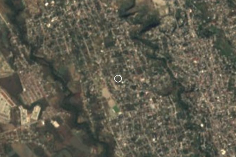





Drive times by road from OpenStreetMap, without traffic. Times marked ~ are estimated from the straight-line distance.
Location from OpenStreetMap. Written by Puebloteca.