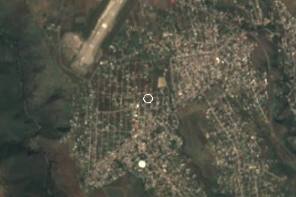
Village Xochitepec, Morelos Municipality of Xochitepec Southern Morelos
Housing-estate settlement in Xochitepec with almost 12,000 residents, beside Acatlipa and 12 km from Cuernavaca.
From Cuernavaca: 20 min by car (21 km by road) How to get there ↓
Near here
See everything nearby ↓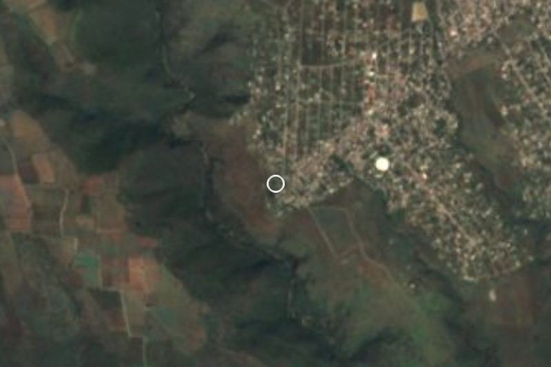


Plan your visit to José María Morelos y Pavón
Where to stay near José María Morelos y Pavón
Compare hotels, posadas and guest houses in José María Morelos y Pavón.
Tours to José María Morelos y Pavón
Day trips and guided outings from Xochitepec often include José María Morelos y Pavón; with a local guide you can get there without a car.
 Tours from Cuernavaca
3hr Cooking Class in Cuernavaca 8 Recipes and Bottomless Drinks
From US$59
How to get to José María Morelos y Pavón
- From Cuernavaca: about 20 min by road (~21 km)
- Nearest airport: Toluca (TLC), 1 h 59 min by car to Xochitepec
Links open a partner site. We may earn a commission if you book, at no cost to you.
Tours from Cuernavaca, near José María Morelos y Pavón


Tours, prices and ratings from Viator, checked weekly. We may earn a commission if you book.
About José María Morelos y Pavón
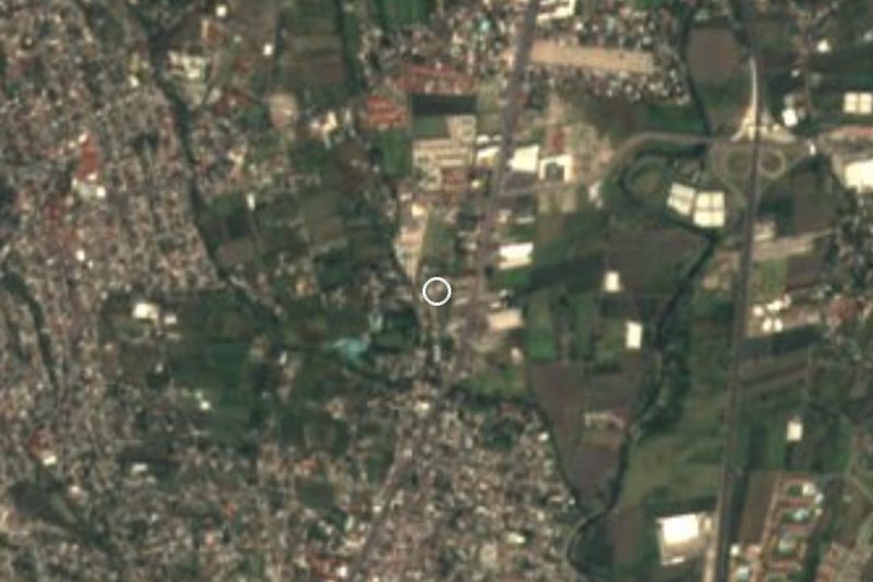
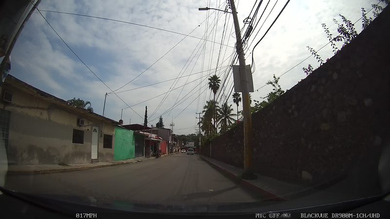
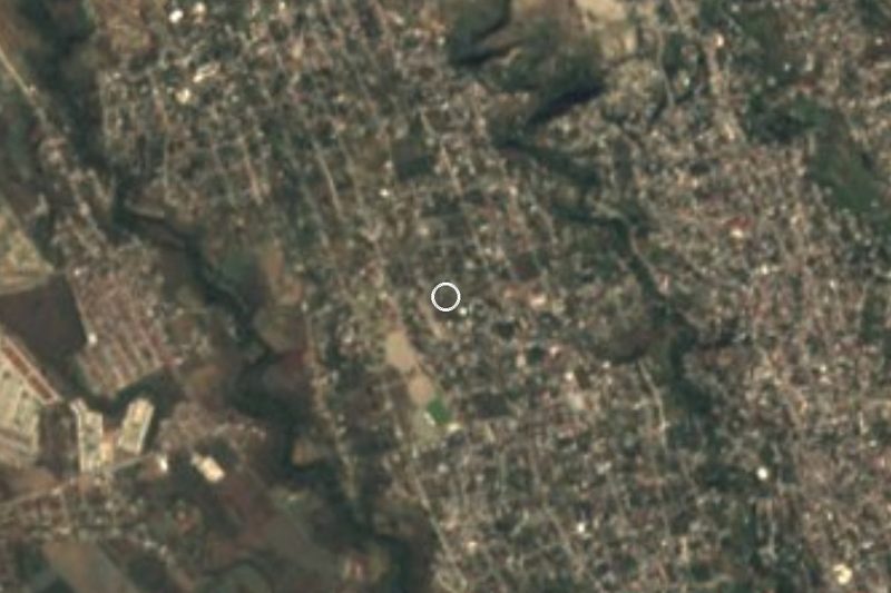
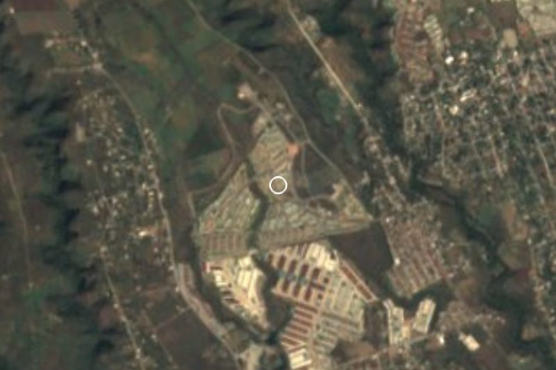
This is the José María Morelos y Pavón in the municipality of Xochitepec, not the one in Jojutla: INEGI classes it as a housing unit (unidad habitacional), and the name recalls the insurgent leader. It forms part of the Cuernavaca metropolitan area and lies about 5 km northwest of the municipal seat, Xochitepec, at 1,256 metres.
It is the second-largest of Xochitepec's 90 localities. Growth has been fast: 3,249 residents in 1990, 7,992 in 2000, 9,178 in 2005, 10,625 in 2010 and 11,805 in 2020, of whom 6,093 are women and 5,712 men. Children aged 0 to 14 number 3,403, adults 15 to 64 are 7,546 and people over 65 are 847. On religion, 7,611 say they are Catholic, 1,782 Protestant and 2,389 have none.
The surroundings are low hills: Acatlipa (1,353 m) is about 3.5 km to the southeast, with El Jumil, Colotepec and Las Flores farther off. The yearly mean temperature is 21.3 C and it rains on about 171 days a year. Nine in ten homes have a mobile phone; internet reaches nearly half.
There are no monuments to visit; people come for housing, for work, or on the way to Alpuyeca and southern Morelos.
How to get to José María Morelos y Pavón
Drive from Cuernavaca: 20 min, 21 km
Cuernavaca lies roughly 12 km to the northeast (roughly 15 to 25 minutes by car, depending on traffic on the highway). The most direct way is to head south on highway 95D (Autopista del Sol) or the free road and get off around Temixco-Acatlipa or Xochitepec; the unit is near Acatlipa. Pin the estate on your map to pick the exit.
By bus, a Cuernavaca route blog (2021) describes an urban line that crosses central Temixco and Acatlipa and runs on to Alpuyeca and Xochitepec; ask the driver whether it still runs. From central Xochitepec the unit is about 5 km (roughly 8 to 12 minutes by taxi or car).
From the capital, board Pullman de Morelos at Taxqueña for Cuernavaca and continue by city transport or taxi. Xochitepec is about 8 km away (roughly 9 minutes by car).
Directions to José María Morelos y Pavón on Google Maps
Distances are in a straight line; the road is usually longer.
Links open a partner site. We may earn a commission if you book, at no cost to you.
From the nearest cities to José María Morelos y Pavón
- Cuernavaca · 21 km by road, 20 min
- Cuautla · 77 km by road, 1 h 5 min
- Taxco · 74 km by road, 1 h 15 min
Drive times by road from OpenStreetMap, without traffic or stops. Times marked ~ are estimated from the straight-line distance.
Visiting José María Morelos y Pavón: what to see and do
Walk the housing estate, the most populated part of this area.
Head up to the hills of Acatlipa, about 3.5 km southeast.
Go down to Xochitepec, about 5 km away, the municipal seat.
Carry on south toward Alpuyeca, the access point for Xochicalco.
Plan your trip
Places to stay in José María Morelos y Pavón
Compare hotels, posadas, and rentals in and around José María Morelos y Pavón.
Tours & activities
Day trips and guided outings from Xochitepec often include José María Morelos y Pavón; with a local guide you can get there without a car.
Rental cars
Pick up a car at TLC (Toluca): about 1 h 59 min by road to Xochitepec, then 6 km more to José María Morelos y Pavón, on your own schedule.
Flights
The nearest airport with scheduled flights is Toluca (TLC), about 1 h 59 min by road from Xochitepec, the base for José María Morelos y Pavón.
Mobile data
Signal can drop away from Xochitepec: download a map of the way to José María Morelos y Pavón before you set out, or carry an eSIM with data.
Links open a partner site. We may earn a commission if you book, at no cost to you.
When to go to José María Morelos y Pavón warm
José María Morelos y Pavón shares the climate of Xochitepec, 6 km away. The best months to visit are January, February, November, and December.
See the month-by-month climate of Xochitepec
Weather in José María Morelos y Pavón now and the next 7 days
Live forecast from Open-Meteo. Chance of rain is the day's highest.
The closest Pueblo Mágico: Xochitepec

Xochitepec is the Pueblo Mágico closest to José María Morelos y Pavón, with places to stay, food, and more to see.
Also close to
- Tlaltizapán · Morelos · 19 km away
- Tepoztlán · Morelos · 25 km away
- Malinalco · Estado de México · 29 km away
- Tlayacapan · Morelos · 33 km away
- Tonatico · Estado de México · 43 km away
Closest to José María Morelos y Pavón
-
Benito Juárez (La Monera) · Village · 1 km away
-
Unidad Morelos · Town · 1 km away
-
San Agustín Tetlama · Village · 2 km away
-
Acatlipa · Town · 3 km away
-
Eterna Primavera · Village · 3 km away
-
La Rivera · Village · 3 km away
-
Rubén Jaramillo · Town · 3 km away
-
Temixco · Town · 3 km away


Near José María Morelos y Pavón





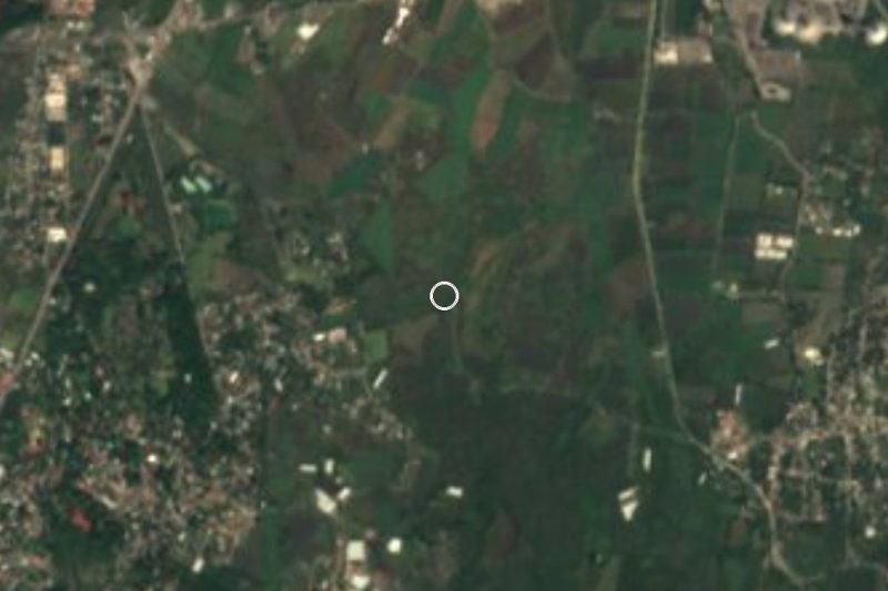


Drive times by road from OpenStreetMap, without traffic. Times marked ~ are estimated from the straight-line distance.
Location from OpenStreetMap. Written by Puebloteca.