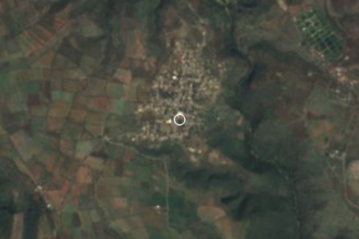
Village Temixco, Morelos Municipality of Temixco Southern Morelos
Old village of Temixco with 2,124 people at 1,289 m, near Xochicalco; its Nahuatl name means 'paper stone'.
From Cuernavaca: 25 min by car (27 km by road) How to get there ↓
Near here
See everything nearby ↓
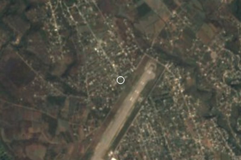

Plan your visit to San Agustín Tetlama
Where to stay near San Agustín Tetlama
Compare hotels, posadas and guest houses in San Agustín Tetlama.
Tours to San Agustín Tetlama
Day trips and guided outings from Xochitepec often include San Agustín Tetlama; with a local guide you can get there without a car.
How to get to San Agustín Tetlama
- From Cuernavaca: about 25 min by road (~27 km)
- Nearest airport: Toluca (TLC), 1 h 59 min by car to Xochitepec
Links open a partner site. We may earn a commission if you book, at no cost to you.
About San Agustín Tetlama
Tetlama comes from Nahuatl: tetl, stone; amatl, bark paper; it translates as 'paper stone' and names schist. The Christian name, San Agustín, recalls the village's patron saint, Augustine of Hippo. It is a locality in the municipality of Temixco with 2,124 residents in 2020 (1,061 women and 1,063 men), at about 1,290 m above sea level and 6.6 km in a straight line southwest of the municipal seat.
The village has colonial roots. According to the municipality's history, the towns that formed it were Acatlipa, San Agustín Tetlama and San Sebastián Cuentepec, all in Hernán Cortés's Marquesado del Valle, while the Temixco hacienda was founded in 1617 on 1,755 hectares. We found no monograph on Tetlama's church and no date for its patron-saint festival, so we give none.
The climate is warm semi-arid, averaging about 21 °C a year with some 170 rainy days. It is close to the archaeological zone of Xochicalco, a World Heritage Site, which makes the village a handy base for anyone exploring that ridge. Nearly all homes have electricity and piped water.
Tetlama is a living village, not a managed visitor site: stroll its streets with respect, look at the church from outside, and use it as a base for Xochicalco. No hours or fees are published.
How to get to San Agustín Tetlama
Drive from Cuernavaca: 25 min, 27 km
San Agustín Tetlama is about 12 km in a straight line from Cuernavaca (roughly 15 to 25 minutes by car, approx.) and about 6.6 km southwest of Temixco. From Mexico City take the Autopista del Sol (Mexico–Cuernavaca, 95D), exit toward Temixco or Alpuyeca and follow the signs for Xochicalco, which is nearby; the whole trip is about 2 hours, approx. Xochitepec, the nearest town, is about 5 km away.
By public transport, reach Cuernavaca (buses from Terminal Taxqueña or TAPO in Mexico City) and then Temixco, where taxis and local colectivos leave; we found no published line to Tetlama, so ask in central Temixco.
Directions to San Agustín Tetlama on Google Maps
Distances are in a straight line; the road is usually longer.
Links open a partner site. We may earn a commission if you book, at no cost to you.
From the nearest cities to San Agustín Tetlama
- Cuernavaca · 27 km by road, 25 min
- Cuautla · 83 km by road, 1 h 10 min
- Taxco · 79 km by road, 1 h 20 min
Drive times by road from OpenStreetMap, without traffic or stops. Times marked ~ are estimated from the straight-line distance.
Visiting San Agustín Tetlama: what to see and do
Walk the village centre and look at the church of San Agustín from outside.
Notice the layered schist stone that gives the place its name.
Continue to the Xochicalco archaeological zone, a few kilometres away.
Go in the morning, when it is cooler.
Combine the visit with Temixco or Xochitepec, the nearest town.
Plan your trip
Places to stay in San Agustín Tetlama
Compare hotels, posadas, and rentals in and around San Agustín Tetlama.
Tours & activities
Day trips and guided outings from Xochitepec often include San Agustín Tetlama; with a local guide you can get there without a car.
Rental cars
Pick up a car at TLC (Toluca): about 1 h 59 min by road to Xochitepec, then 5 km more to San Agustín Tetlama, on your own schedule.
Flights
The nearest airport with scheduled flights is Toluca (TLC), about 1 h 59 min by road from Xochitepec, the base for San Agustín Tetlama.
Mobile data
Signal can drop away from Xochitepec: download a map of the way to San Agustín Tetlama before you set out, or carry an eSIM with data.
Links open a partner site. We may earn a commission if you book, at no cost to you.
When to go to San Agustín Tetlama warm
San Agustín Tetlama shares the climate of Xochitepec, 5 km away. The best months to visit are January, February, November, and December.
See the month-by-month climate of Xochitepec
Weather in San Agustín Tetlama now and the next 7 days
Live forecast from Open-Meteo. Chance of rain is the day's highest.
The closest Pueblo Mágico: Xochitepec

Xochitepec is the Pueblo Mágico closest to San Agustín Tetlama, with places to stay, food, and more to see.
Also close to
- Tlaltizapán · Morelos · 22 km away
- Tepoztlán · Morelos · 26 km away
- Malinalco · Estado de México · 26 km away
- Tlayacapan · Morelos · 35 km away
- Ixtapan de la Sal · Estado de México · 41 km away
Closest to San Agustín Tetlama
-
Temixco · Town · 1 km away
-
Benito Juárez (La Monera) · Village · 2 km away
-
José María Morelos y Pavón · Village · 2 km away
-
Cascada de Bedoya · Waterfall · 3 km away
-
Eterna Primavera · Village · 3 km away
-
Unidad Morelos · Town · 3 km away
-
Xochicalco · Archaeological site · 3 km away
-
La Rivera · Village · 5 km away


Near San Agustín Tetlama


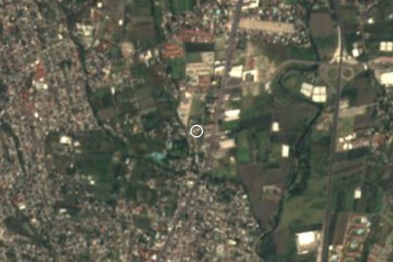
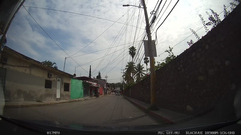

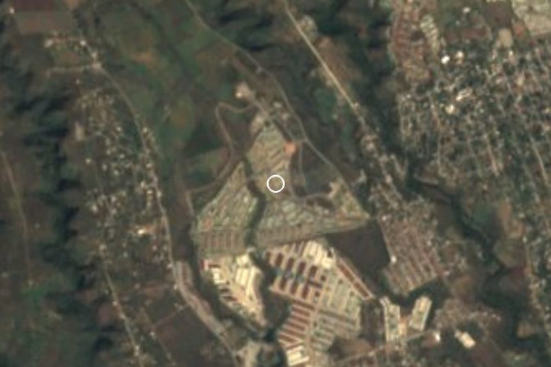

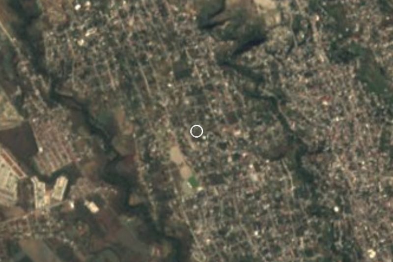



Drive times by road from OpenStreetMap, without traffic. Times marked ~ are estimated from the straight-line distance.
Location from OpenStreetMap. Written by Puebloteca.