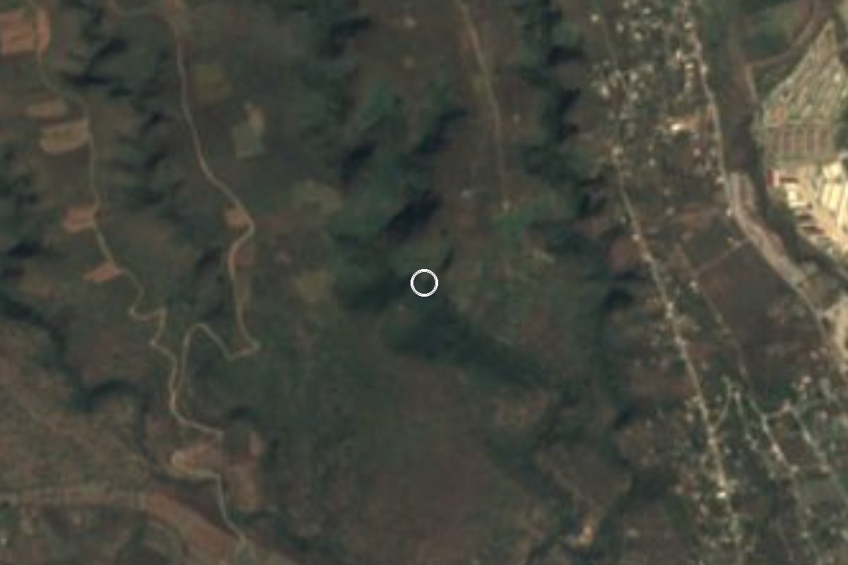
Waterfall Temixco, Morelos Municipality of Temixco Southern Morelos
Waterfall in a Temixco ravine, reached on foot from Solidaridad; the pool is used for swimming and the trail has no services.
From Cuernavaca: 35 min by car (23 km by road) How to get there ↓
Near here
See everything nearby ↓

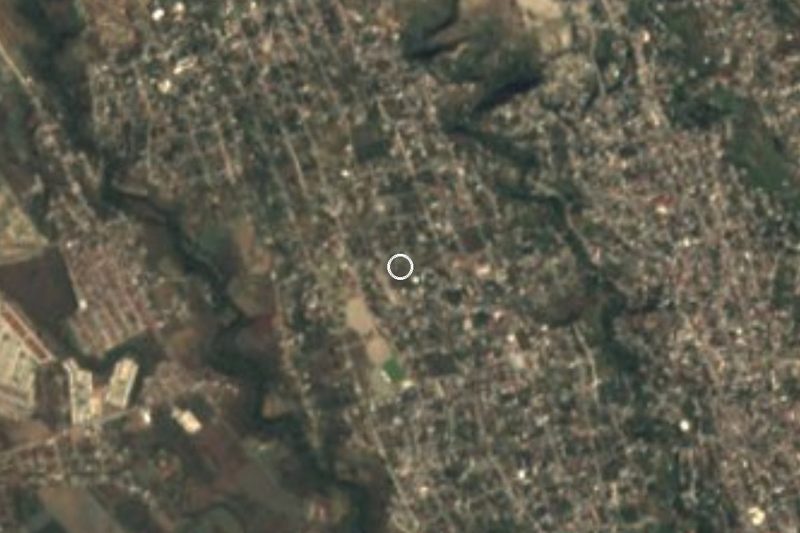
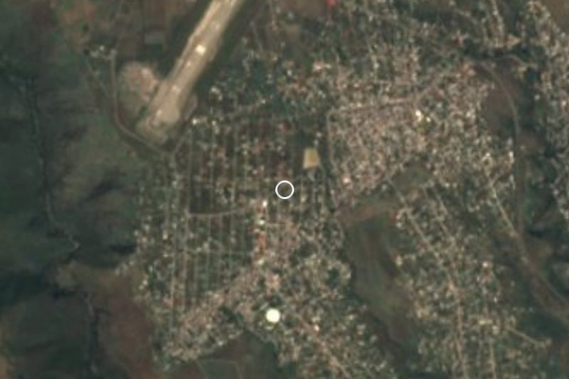
Plan your visit to Cascada de Bedoya
Where to stay near Cascada de Bedoya
Compare hotels, posadas and guest houses in Cascada de Bedoya.
Tours to Cascada de Bedoya
Day trips and guided outings from Xochitepec often include Cascada de Bedoya; with a local guide you can get there without a car.
 Tours from Cuernavaca
3hr Cooking Class in Cuernavaca 8 Recipes and Bottomless Drinks
From US$59
How to get to Cascada de Bedoya
- From Cuernavaca: about 35 min by road (~23 km)
- Nearest airport: Toluca (TLC), 1 h 59 min by car to Xochitepec
Links open a partner site. We may earn a commission if you book, at no cost to you.
Tours from Cuernavaca, near Cascada de Bedoya


Tours, prices and ratings from Viator, checked weekly. We may earn a commission if you book.
About Cascada de Bedoya
Bedoya waterfall drops into a ravine in the municipality of Temixco, west of Cuernavaca, and is visited on foot from the Solidaridad neighbourhood. The name is written two ways: OpenStreetMap, AllTrails and Wikiloc use "Bedoya", but one Wikiloc route and the Mexico Desconocido piece on Cuentepec spell it "Bedolla". They appear to be the same place; the Mexico Desconocido article, which mentions a Bedolla fall of about 20 m, is not a mapping source, so we treat that as likely rather than settled.
Two things are worth being clear about. First, it is not in the village of Cuentepec, even though both are in Temixco and adventure operators from that community offer walks that include waterfalls in the area; the OpenStreetMap point sits near Solidaridad, not Cuentepec. Second, the measurements vary: a Wikiloc track gives a drop of about 20 m and a pool 2.5 m deep, while a Directo al Paladar piece says 4 m.
The way down runs through a wooded canyon. AllTrails describes a moderate out-and-back trail of about 3.1 km with 124 m of climbing; another Wikiloc track records 1.69 km one way with 51 m of climbing. Directo al Paladar says the walk takes at least 30 minutes, that the path can be slippery and that it is poorly signed. According to a Wikiloc comment, the water looks clear emerald green from December to June and muddy in the rainy season. There are no shops or services, and We found no sign of an entrance fee.
How to get to Cascada de Bedoya
Drive from Cuernavaca: 35 min, 23 km
The waterfall is in Temixco, near the Solidaridad neighbourhood, and you walk in from there. According to a Wikiloc comment, from Cuernavaca (neighbourhoods like Tejalpa, Avenida Cuauhnahuac and the centre) you take the route 11 "Ursula" colectivo, which drops you at a small roundabout in the settlement of Solidaridad, where the walk begins. Directo al Paladar puts it about 30 minutes from Cuernavaca and a little over 2 hours from Mexico City.
By car from the capital, take the Mexico-Cuernavaca toll road (95D), pass Cuernavaca toward Temixco and look for Solidaridad; the drive to Cuernavaca is around an hour and a half without traffic (Milenio). By bus, services run from Taxqueña (Terminal Sur) to Cuernavaca for roughly 140 to 200 pesos (Milenio, 2026); from there, the colectivo above or a taxi. The walk to the water is 1.7 km each way by one track and 3.1 km out and back by another, at least 30 minutes per Directo al Paladar; the trail is not clearly signed, so download the Wikiloc or AllTrails track before leaving. From Xochitepec, the nearest pueblo listed, it is about 8 km in a straight line.
Directions to Cascada de Bedoya on Google Maps
Distances are in a straight line; the road is usually longer.
Links open a partner site. We may earn a commission if you book, at no cost to you.
From the nearest cities to Cascada de Bedoya
- Cuernavaca · 23 km by road, 35 min
- Cuautla · 80 km by road, 1 h 20 min
- Taxco · 83 km by road, 1 h 35 min
Drive times by road from OpenStreetMap, without traffic or stops. Times marked ~ are estimated from the straight-line distance.
Before you go to Cascada de Bedoya: hours, prices and tips
- Time needed
- The walk down takes at least 30 minutes; AllTrails lists about 3.1 km out and back. Directo al Paladar · checked Oct 2026
- Best time of day
- December to June, when the water is clear emerald green; muddy in the rainy season. Wikiloc (hiker comment) · checked Oct 2026
- What to bring
- Hiking shoes, water, snacks and sun protection; there are no shops nearby. Take your trash out. Directo al Paladar · checked Oct 2026
Hours and prices change, especially around holidays. Each fact links to where we checked it.
Visiting Cascada de Bedoya: what to see and do
Walk down the wooded canyon to the waterfall.
Look at the fall and the pool, emerald green in the dry season.
Swim in the pool only with care: write-ups give 2.5 to 4 m of depth.
Photograph the ravine from the trail.
Plan to go between December and June, when the water runs clear.
Leave time to climb back out the same way.
Plan your trip
Places to stay in Cascada de Bedoya
Compare hotels, posadas, and rentals in and around Cascada de Bedoya.
Tours & activities
Day trips and guided outings from Xochitepec often include Cascada de Bedoya; with a local guide you can get there without a car.
Rental cars
Pick up a car at TLC (Toluca): about 1 h 59 min by road to Xochitepec, then 8 km more to Cascada de Bedoya, on your own schedule.
Flights
The nearest airport with scheduled flights is Toluca (TLC), about 1 h 59 min by road from Xochitepec, the base for Cascada de Bedoya.
Travel insurance
If you plan on swimming and hiking at Cascada de Bedoya, check that your policy covers it: some plans leave adventure activities out.
Mobile data
Signal can drop away from Xochitepec: download a map of the way to Cascada de Bedoya before you set out, or carry an eSIM with data.
Links open a partner site. We may earn a commission if you book, at no cost to you.
When to go to Cascada de Bedoya warm
Cascada de Bedoya shares the climate of Xochitepec, 8 km away. The best months to visit are January, February, November, and December.
Waterfalls like Cascada de Bedoya run fullest in the rainiest months here (July, August, and September) and can thin out at the end of the dry season (January, March, and December).
See the month-by-month climate of Xochitepec
Weather in Cascada de Bedoya now and the next 7 days
Live forecast from Open-Meteo. Chance of rain is the day's highest.
The closest Pueblo Mágico: Xochitepec

Xochitepec is the Pueblo Mágico closest to Cascada de Bedoya, with places to stay, food, and more to see.
Also close to
- Tepoztlán · Morelos · 23 km away
- Tlaltizapán · Morelos · 23 km away
- Malinalco · Estado de México · 26 km away
- Tlayacapan · Morelos · 33 km away
- Tonatico · Estado de México · 42 km away
Closest to Cascada de Bedoya
-
Eterna Primavera · Village · 2 km away
-
Punta Verde · Village · 2 km away
-
Temixco · Town · 2 km away
-
San Agustín Tetlama · Village · 3 km away
-
Colonia Morelos (Temixco) · Village · 4 km away
-
José María Morelos y Pavón · Village · 4 km away
-
Unidad Morelos · Town · 4 km away
-
Benito Juárez (La Monera) · Village · 5 km away

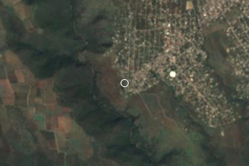
Near Cascada de Bedoya


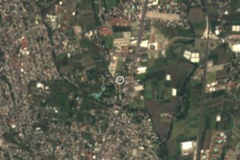
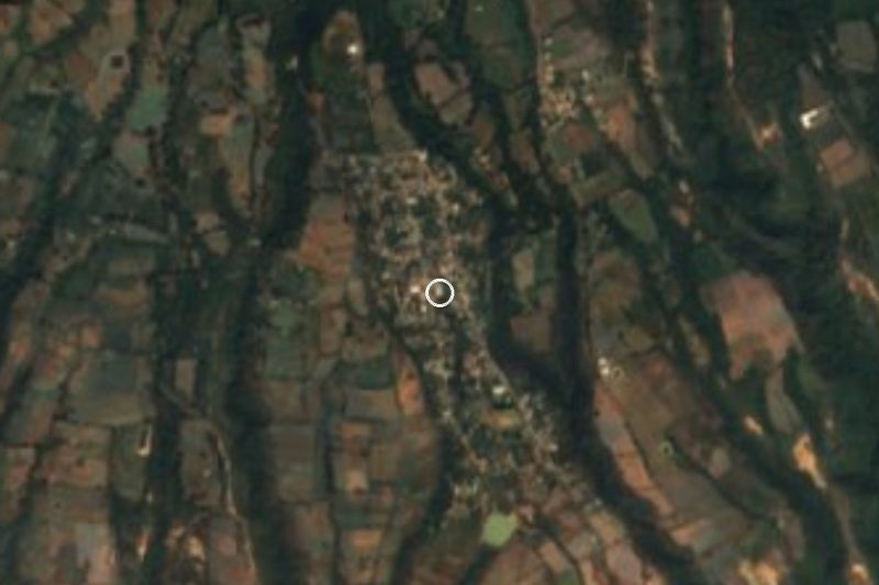



Drive times by road from OpenStreetMap, without traffic. Times marked ~ are estimated from the straight-line distance.
Lists with Cascada de Bedoya
Waterfalls in Morelos · 3 Waterfalls near Cuernavaca · 4 Waterfalls near Malinalco · 6 Waterfalls near Cuautla · 4 Waterfalls near Taxco · 5 Waterfalls near Metepec · 3Location from OpenStreetMap. Written by Puebloteca.