Village Temixco, Morelos Municipality of Temixco Southern Morelos
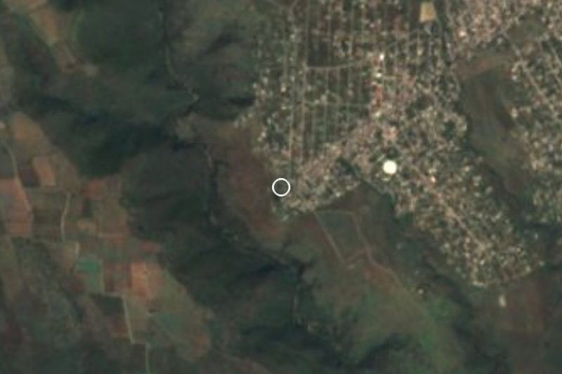
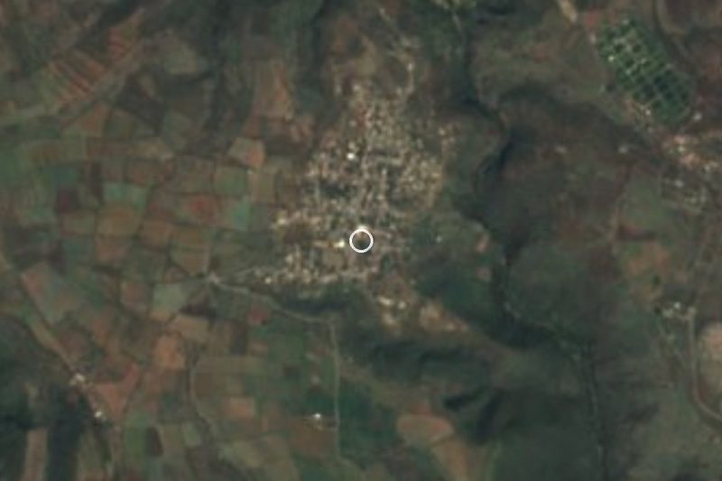
Neighbourhood south of Temixco next to Acatlipa, about 12 km from Cuernavaca and 6 km from the Xochicalco ruins.
From Cuernavaca: 15 min by car (15 km by road) How to get there ↓
Near here
See everything nearby ↓


Plan your visit to La Rivera
Where to stay near La Rivera
Compare hotels, posadas and guest houses in La Rivera.
Tours to La Rivera
Day trips and guided outings from Xochitepec often include La Rivera; with a local guide you can get there without a car.
 Santa Maria la Rivera floating bookstore, murals and pulque
★ 5.0 (1) · From US$33
How to get to La Rivera
- From Cuernavaca: about 15 min by road (~15 km)
- Nearest airport: Toluca (TLC), 1 h 59 min by car to Xochitepec
Links open a partner site. We may earn a commission if you book, at no cost to you.
Popular tours to La Rivera
Tours, prices and ratings from Viator, checked weekly. We may earn a commission if you book.
About La Rivera
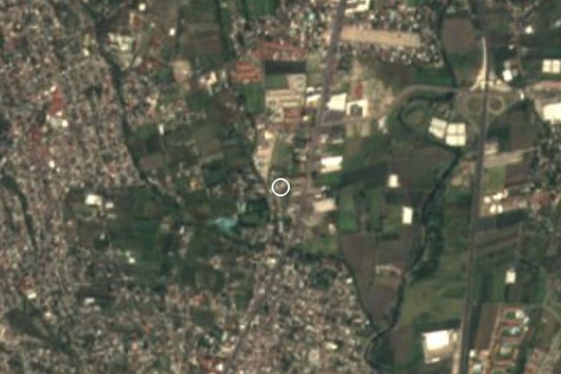
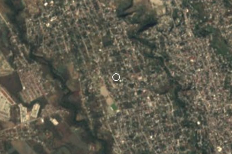
La Rivera is a neighbourhood of city streets in the south of Temixco, the town of just over 104,000 people that now forms one built-up area with Cuernavaca. According to the Morelos health services' regional population tables, 1,995 people lived here in the 2018-2019 survey and 1,811 in the 2025 one; these are not census counts, so treat them as an order of magnitude. One of its streets, Calle 5 de Mayo, appears in OpenStreetMap under the neighbourhood's name.
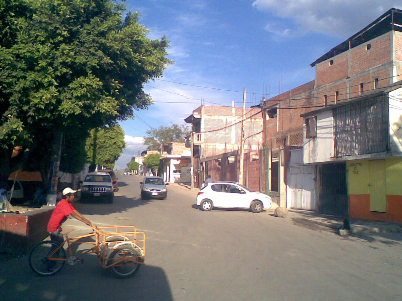
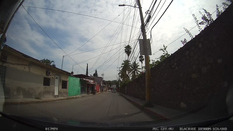
Its immediate neighbour is Acatlipa, about 1.2 km to the north, a village of pre-Hispanic origin that belonged to the Cuauhnáhuac lordship before the Spanish arrived. The photograph on this page was taken on a street in Acatlipa, about 500 m away, not in La Rivera itself. Acatlipa also has a viewpoint on the Cerro de las 3 Cruces, with a view over Temixco.
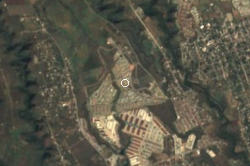
What makes La Rivera useful is what lies around it. The Xochicalco archaeological site, on the line between Temixco and Miacatlán, is about 6.5 km to the southwest as the crow flies; it has been a UNESCO World Heritage Site since 1999 and its main building dates from the Epiclassic (650-900 CE). Nearby too are spas such as Ojo de Agua and the former Hacienda de Temixco. The climate is warm and subhumid, averaging about 23 °C with rain from June to October.
How to get to La Rivera
Drive from Cuernavaca: 15 min, 15 km
La Rivera is in Temixco, about 12 km in a straight line from Cuernavaca (approx. 15 to 25 minutes by car, depending on traffic). The 95D toll road (Mexico City–Acapulco) and federal highway 95 run side by side at Temixco, so you reach it within minutes from southern Cuernavaca; exit toward Temixco and Acatlipa and follow the streets to the neighbourhood (Calle 5 de Mayo). The nearest pueblo in this guide is Xochitepec, about 8 km away in a straight line.
By bus, Pullman de Morelos services link Cuernavaca with Xochitepec and Temixco (Rome2rio; check times). From Mexico City take a bus to Cuernavaca at the Terminal Sur in Taxqueña (about 85 km to Temixco according to Wikipedia). Once in Temixco, taxis and city colectivos reach Acatlipa and La Rivera; we found no published route number, so ask at the stop.
Directions to La Rivera on Google Maps
Distances are in a straight line; the road is usually longer.
Links open a partner site. We may earn a commission if you book, at no cost to you.
From the nearest cities to La Rivera
- Cuernavaca · 15 km by road, 15 min
- Cuautla · 71 km by road, 1 h
- Taxco · 70 km by road, 1 h 10 min
Drive times by road from OpenStreetMap, without traffic or stops. Times marked ~ are estimated from the straight-line distance.
Visiting La Rivera: what to see and do
Walk Calle 5 de Mayo and the neighbourhood to see how town and countryside blend.
Climb to the Cerro de las 3 Cruces viewpoint in Acatlipa, overlooking Temixco.
Wander the streets of Acatlipa, a little over 1 km north.
Visit the Xochicalco archaeological site, about 6.5 km southwest as the crow flies.
Cool off at the Ojo de Agua spa or at the former Hacienda de Temixco.
Plan your trip
Places to stay in La Rivera
Compare hotels, posadas, and rentals in and around La Rivera.
Tours & activities
Day trips and guided outings from Xochitepec often include La Rivera; with a local guide you can get there without a car.
Rental cars
Pick up a car at TLC (Toluca): about 1 h 59 min by road to Xochitepec, then 8 km more to La Rivera, on your own schedule.
Flights
The nearest airport with scheduled flights is Toluca (TLC), about 1 h 59 min by road from Xochitepec, the base for La Rivera.
Mobile data
Signal can drop away from Xochitepec: download a map of the way to La Rivera before you set out, or carry an eSIM with data.
Links open a partner site. We may earn a commission if you book, at no cost to you.
When to go to La Rivera warm
La Rivera shares the climate of Xochitepec, 8 km away. The best months to visit are January, February, November, and December.
See the month-by-month climate of Xochitepec
Weather in La Rivera now and the next 7 days
Live forecast from Open-Meteo. Chance of rain is the day's highest.
The closest Pueblo Mágico: Xochitepec

Xochitepec is the Pueblo Mágico closest to La Rivera, with places to stay, food, and more to see.
Also close to
- Tlaltizapán · Morelos · 17 km away
- Tepoztlán · Morelos · 24 km away
- Tlayacapan · Morelos · 31 km away
- Malinalco · Estado de México · 31 km away
- Ixtapan de la Sal · Estado de México · 46 km away
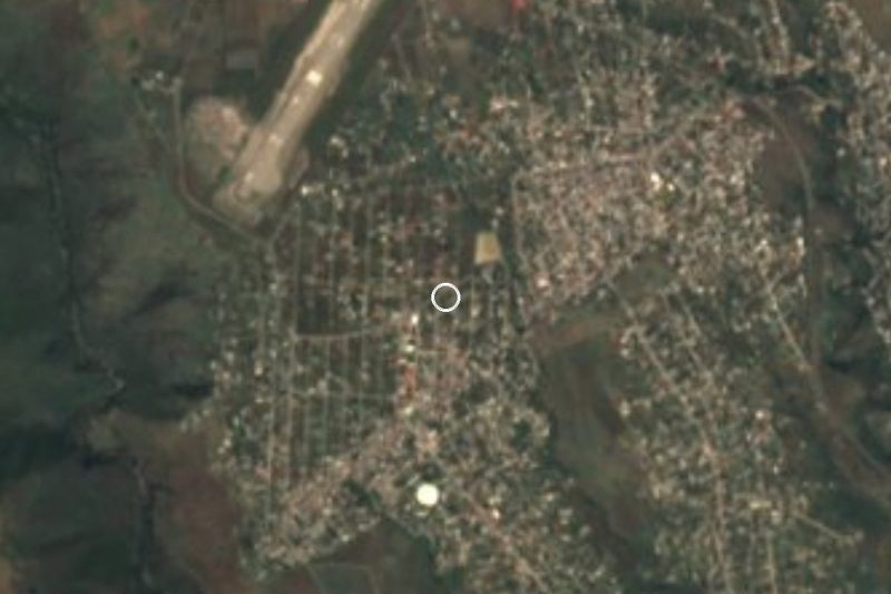
Closest to La Rivera
-
Acatlipa · Town · 1 km away
-
Parque Acuático Ojo de Agua · Hot springs · 2 km away
-
Rubén Jaramillo · Town · 2 km away
-
Unidad Morelos · Town · 2 km away
-
Balneario Ex-Hacienda de Temixco · Landmark · 3 km away
-
Benito Juárez (La Monera) · Village · 3 km away
-
Campo Sotelo · Village · 3 km away
-
José María Morelos y Pavón · Village · 3 km away

Near La Rivera

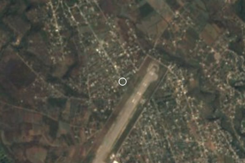





Drive times by road from OpenStreetMap, without traffic. Times marked ~ are estimated from the straight-line distance.
Location from OpenStreetMap. Written by Puebloteca.