
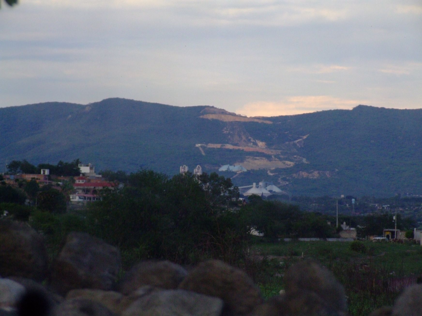
Town Xochitepec, Morelos Municipality of Xochitepec Southern Morelos
Housing estate José María Morelos y Pavón in Xochitepec: 11,805 people in 2020, the municipality's second-largest locality. Not the IPN campus.
From Cuernavaca: 20 min by car (20 km by road) How to get there ↓
Near here
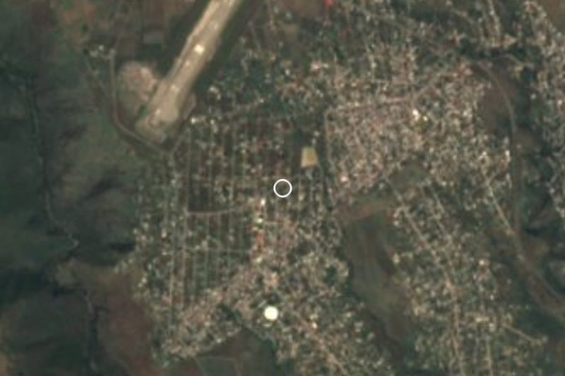
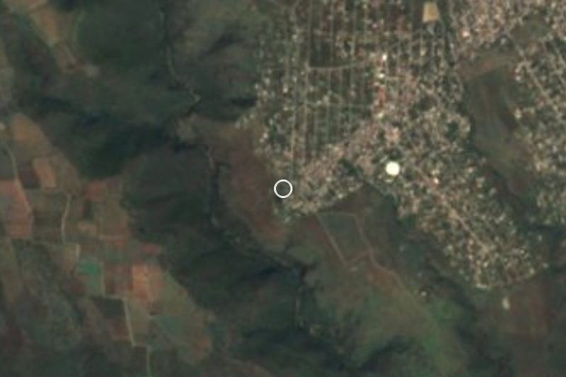
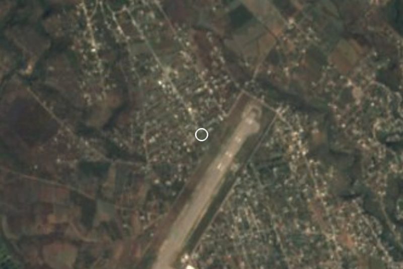


Plan your visit to Unidad Morelos
Where to stay near Unidad Morelos
Compare hotels, posadas and guest houses in Unidad Morelos.
Tours to Unidad Morelos
Day trips around Xochitepec sometimes stop in Unidad Morelos; a tour is the easy way to see it without a car.
 Tours from Cuernavaca
3hr Cooking Class in Cuernavaca 8 Recipes and Bottomless Drinks
From US$59
How to get to Unidad Morelos
- From Cuernavaca: about 20 min by road (~20 km)
- Nearest airport: Toluca (TLC), 1 h 59 min by car to Xochitepec
Links open a partner site. We may earn a commission if you book, at no cost to you.
Tours from Cuernavaca, near Unidad Morelos


Tours, prices and ratings from Viator, checked weekly. We may earn a commission if you book.
About Unidad Morelos
Unidad Morelos is the everyday name of the Unidad Habitacional José María Morelos y Pavón, an urban locality in the municipality of Xochitepec, at about 1,256 m above sea level and 5.4 km north-west of the municipal seat as the crow flies. INEGI censuses show it growing from 7,992 people in 2000 to 9,178 in 2005, 10,625 in 2010 and 11,805 in 2020, when it had 3,097 occupied homes. It is the second-largest of the municipality's 90 localities, after Xochitepec itself (21,862), and part of the Cuernavaca metropolitan area.
It is a residential neighbourhood rather than a destination: there are no monuments or sights of its own, and it is better to say so plainly. Around it lie Colonia Aeropuerto, a kilometre to the north, the Ampliación Lázaro Cárdenas, a kilometre and a half to the west, and Eterna Primavera, roughly two and a half kilometres in the same direction. The climate is warm and semi-arid: the mean annual temperature is about 21.3 °C, April is the hottest month and January the coldest, and about 712 mm of rain falls in a year.
Do not mix it up with CICATA Unidad Morelos, the research centre of the Instituto Politécnico Nacional that many searches tie to this name. It stands at Boulevard de la Tecnología 1036 in Atlacholoaya, also in Xochitepec, and not in this estate. People who come here are mostly residents, or visitors passing through on the way to Xochicalco, the archaeological site that UNESCO listed in 1999 and that lies about 4 km away in a straight line (approx.).
How to get to Unidad Morelos
Drive from Cuernavaca: 20 min, 20 km
The estate is in the north of Xochitepec, about 8 km by road from the municipal seat (about 9 minutes by car, according to Pueblos América) and about 11 km as the crow flies from Cuernavaca, which is approx. 20 minutes by car. On a map, search for "Unidad Morelos" or its full name, Unidad Habitacional José María Morelos y Pavón, so you do not land at the IPN's CICATA, which is in Atlacholoaya.
Coming from the capital, the route is the Autopista del Sol (95D) to Cuernavaca and then south towards Temixco and Xochitepec. Pullman de Morelos buses cover the stretch to Cuernavaca, from the Terminal Central del Sur at Taxqueña. From central Cuernavaca to the estate We found no published official route; a 2019 route blog mentions routes 11 and 16 running from the estate to Cuernavaca via the Crucero de la Cruz, the Xochitepec entrance, Acatlipa and Temixco, but that information is old. A 2026 Diario de Morelos guide says the metropolitan colectivo routes are being added to Google Maps, where you can choose public transport and compare.
Directions to Unidad Morelos on Google Maps
Distances are in a straight line; the road is usually longer.
Links open a partner site. We may earn a commission if you book, at no cost to you.
From the nearest cities to Unidad Morelos
- Cuernavaca · 20 km by road, 20 min
- Cuautla · 76 km by road, 1 h
- Taxco · 73 km by road, 1 h 15 min
Drive times by road from OpenStreetMap, without traffic or stops. Times marked ~ are estimated from the straight-line distance.
What to see in Unidad Morelos 3
Sights with their own page, closest to the centre first.
Hot springs
-
Parque Acuático Ojo de Agua · Hot springs · 3 km from the centre
Water park with pools, a wave river and slides in Acatlipa, Temixco, open daily. Not to be confused with the Ex Hacienda de Temixco park.
Landmarks and museums
-
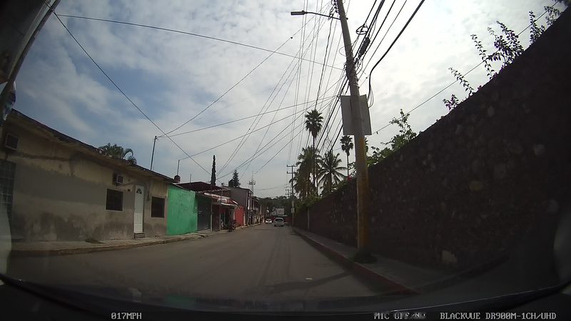
Balneario Ex-Hacienda de Temixco · Landmark · 4 km from the centre
A big water park built inside the walls and arches of a colonial sugar hacienda.
Waterfalls
-
Cascada de Bedoya · Waterfall · 4 km from the centre
Waterfall in a Temixco ravine, reached on foot from Solidaridad; the pool is used for swimming and the trail has no services.
Map of Unidad Morelos
Neighbourhoods and villages of Unidad Morelos
Part of Unidad Morelos or just outside it, closest first.
-
José María Morelos y Pavón · Village · 1 km from the centre
Housing-estate settlement in Xochitepec with almost 12,000 residents, beside Acatlipa and 12 km from Cuernavaca. -
Benito Juárez (La Monera) · Village · 2 km from the centre
A locality of 771 people in Temixco, Morelos, known as La Monera, at 1,270 m, 6 km southwest of Temixco city and close to Xochitepec. -
Eterna Primavera · Village · 2 km from the centre
Rural community in Temixco on the Cuernavaca boundary, at 1,318 m, with 1,088 residents in 2020. Not the 'city of eternal spring' itself. -
La Rivera · Village · 2 km from the centre
Neighbourhood south of Temixco next to Acatlipa, about 12 km from Cuernavaca and 6 km from the Xochicalco ruins. -
Rubén Jaramillo · Town · 2 km from the centre
Temixco colonia born on 31 March 1973 from a land occupation; named for the peasant leader Rubén Jaramillo, killed in 1962. -
Acatlipa · Town · 3 km from the centre
Old village in southern Temixco with a San Andrés church, a rodeo tradition, the Ojo de Agua spring baths and chinelo dancing on 2 April and 30 November. -
San Agustín Tetlama · Village · 3 km from the centre
Old village of Temixco with 2,124 people at 1,289 m, near Xochicalco; its Nahuatl name means 'paper stone'. -
Colonia Morelos (Temixco) · Village · 4 km from the centre
Colonia Morelos, inside the town of Temixco, 2.8 km northwest of its centre and next to Cuernavaca. Not the state: a Temixco neighbourhood. -
Temixco · Town · 4 km from the centre
A city next to Cuernavaca with a 17th-century sugar ex-hacienda, water parks, a church from 1697 and the Assumption feast on 15 August.

Day trips and tours from Unidad Morelos
The closest Pueblos Mágicos and places to visit, with the drive from Unidad Morelos and tours that leave from it.





Times marked ~ are estimated from the distance. Links open a partner site. We may earn a commission if you book, at no cost to you.
Before you go: getting to and around Unidad Morelos
- The nearest airport is Toluca (TLC).
- The best months to go are January, February, November, and December.
- 4 of the places on this page are more than 3 km from the centre: take a taxi, a ride-hailing app or a local bus.
- For day trips a rental car gives the most freedom; the tours above leave from Unidad Morelos.
Visiting Unidad Morelos: what to see and do
Walk the estate for what it is: a residential neighbourhood of Xochitepec with no monuments of its own.
Head up to Xochicalco, a World Heritage archaeological site, about 4 km away in a straight line.
Look in on Real del Puente, with its hacienda, church and bridge of San Antonio El Puente, about 4 km away.
Cross to Acatlipa, about 3 km east, for the Ojo de Agua baths and the bullring.
Continue to Xochitepec, the municipal seat, about 8 km by road.
Plan your trip
Places to stay in Unidad Morelos
Compare hotels, posadas, and rentals in and around Unidad Morelos.
Tours & activities
Day trips around Xochitepec sometimes stop in Unidad Morelos; a tour is the easy way to see it without a car.
Rental cars
Pick up a car at TLC (Toluca): about 1 h 59 min by road to Xochitepec, then 6 km more to Unidad Morelos, on your own schedule.
Flights
The nearest airport with scheduled flights is Toluca (TLC), about 1 h 59 min by road from Xochitepec, the base for Unidad Morelos.
Mobile data
Signal can drop away from Xochitepec: download a map of the way to Unidad Morelos before you set out, or carry an eSIM with data.
Links open a partner site. We may earn a commission if you book, at no cost to you.
When to go to Unidad Morelos warm
Unidad Morelos shares the climate of Xochitepec, 6 km away. The best months to visit are January, February, November, and December.
See the month-by-month climate of Xochitepec
Weather in Unidad Morelos now and the next 7 days
Live forecast from Open-Meteo. Chance of rain is the day's highest.
The closest Pueblo Mágico: Xochitepec

Xochitepec is the Pueblo Mágico closest to Unidad Morelos, with places to stay, food, and more to see.
Also close to
- Tlaltizapán · Morelos · 19 km away
- Tepoztlán · Morelos · 24 km away
- Malinalco · Estado de México · 29 km away
- Tlayacapan · Morelos · 32 km away
- Ixtapan de la Sal · Estado de México · 44 km away
Near Unidad Morelos




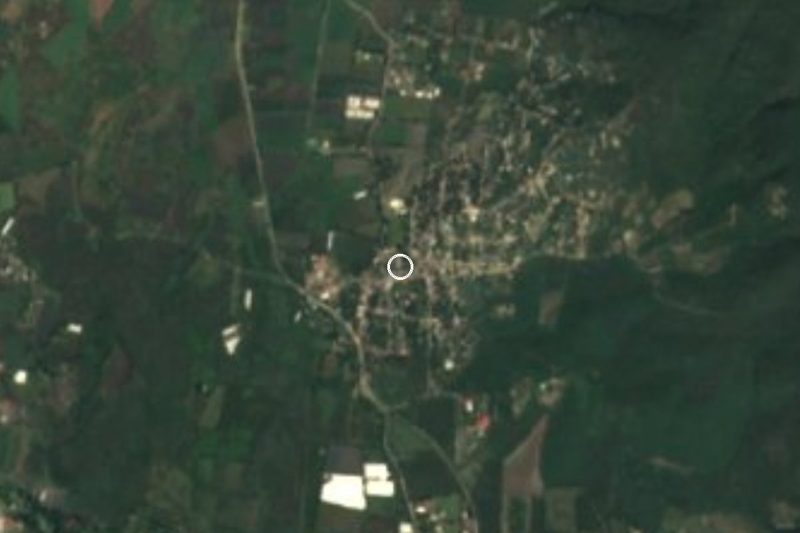
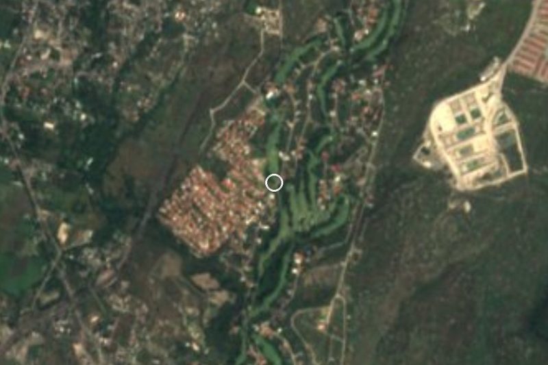

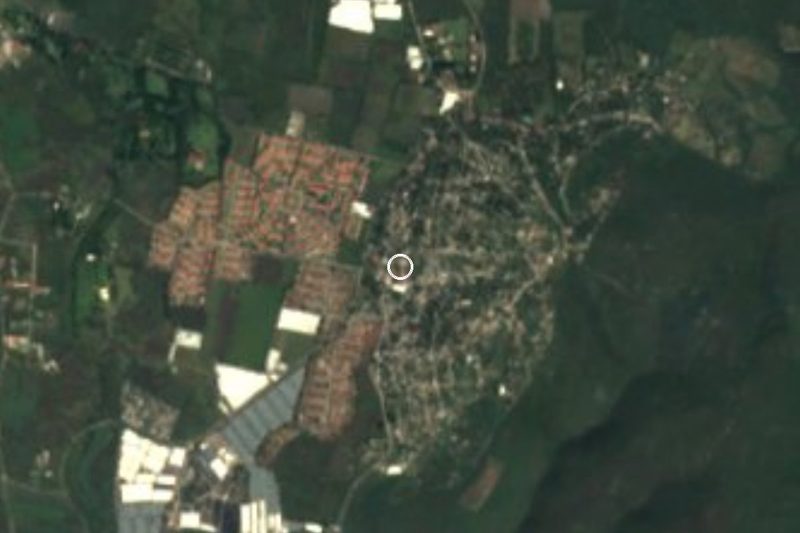
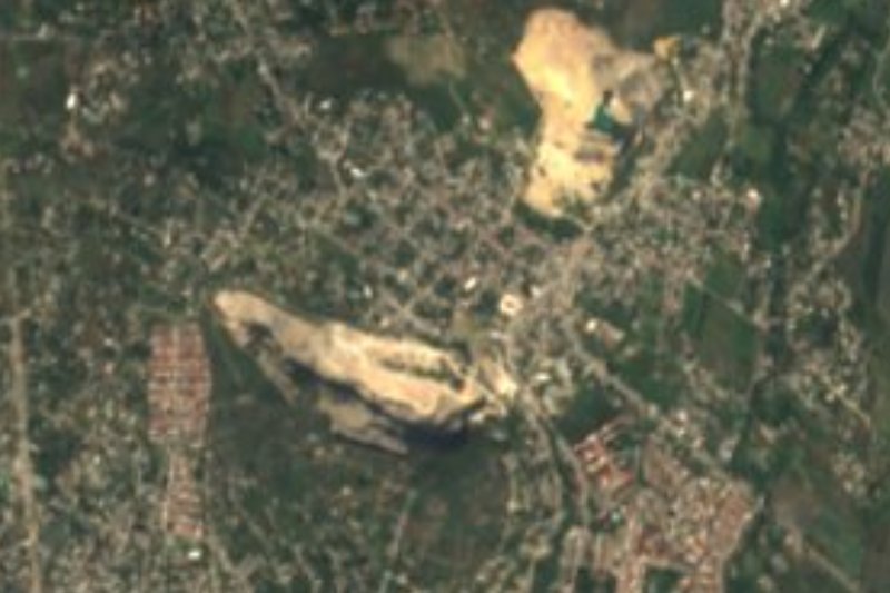
Drive times by road from OpenStreetMap, without traffic. Times marked ~ are estimated from the straight-line distance.
Location from OpenStreetMap. Written by Puebloteca.