Village Temixco, Morelos Municipality of Temixco Southern Morelos
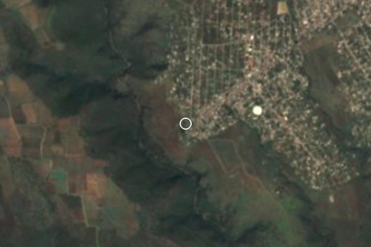
A locality of 771 people in Temixco, Morelos, known as La Monera, at 1,270 m, 6 km southwest of Temixco city and close to Xochitepec.
From Cuernavaca: 25 min by car (23 km by road) How to get there ↓
Near here
See everything nearby ↓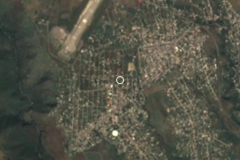


Plan your visit to Benito Juárez (La Monera)
Where to stay near Benito Juárez (La Monera)
Compare hotels, posadas and guest houses in Benito Juárez (La Monera).
Tours to Benito Juárez (La Monera)
Day trips and guided outings from Xochitepec often include Benito Juárez (La Monera); with a local guide you can get there without a car.
 Tours from Cuernavaca
3hr Cooking Class in Cuernavaca 8 Recipes and Bottomless Drinks
From US$59
How to get to Benito Juárez (La Monera)
- From Cuernavaca: about 25 min by road (~23 km)
- Nearest airport: Toluca (TLC), 1 h 59 min by car to Xochitepec
Links open a partner site. We may earn a commission if you book, at no cost to you.
Tours from Cuernavaca, near Benito Juárez (La Monera)


Tours, prices and ratings from Viator, checked weekly. We may earn a commission if you book.
About Benito Juárez (La Monera)
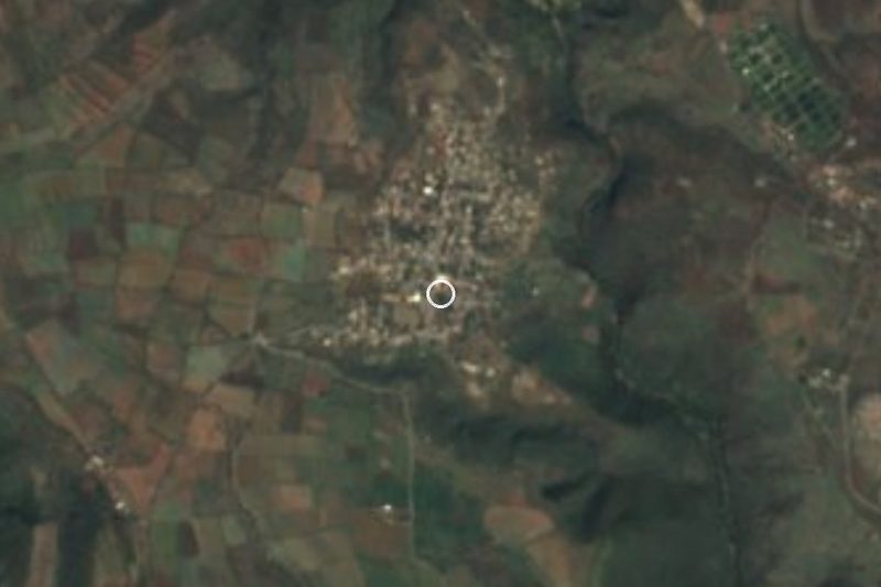
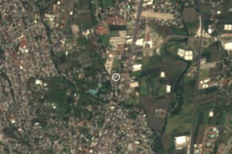
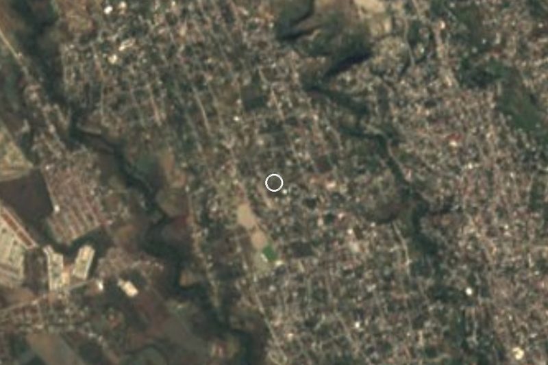
In the municipality of Temixco there is a Benito Juárez that INEGI tells apart with a bracketed name: La Monera. It had 771 residents in 2020, up from 461 in 2005 and 594 in 2010, which makes it the seventh largest of the municipality's 42 localities. It sits at about 1,270 m, 6.3 km southwest of Temixco city (104,461 people) as the crow flies, in the semi-arid belt that drops from Cuernavaca toward Xochitepec.
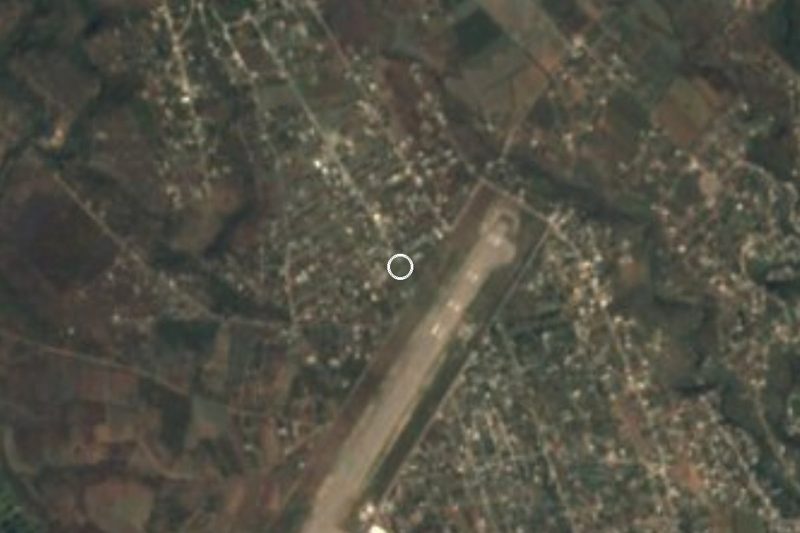
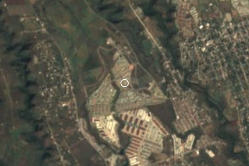
The surroundings are closer to suburb than countryside. The Unidad Habitacional José María Morelos y Pavón, home to 11,805 people, is 1.8 km to the southwest; San Agustín Tetlama (2,124) is 2 km to the northwest; and under a kilometre away there is a Colonia Aeropuerto with its own fifth section. Nearly half the residents were born outside Morelos (43% in 2020), a sign that many families came here from other states. There are about 195 homes, almost all with electricity (100%), piped water (96%) and a mobile phone (95%), and 45% have internet.
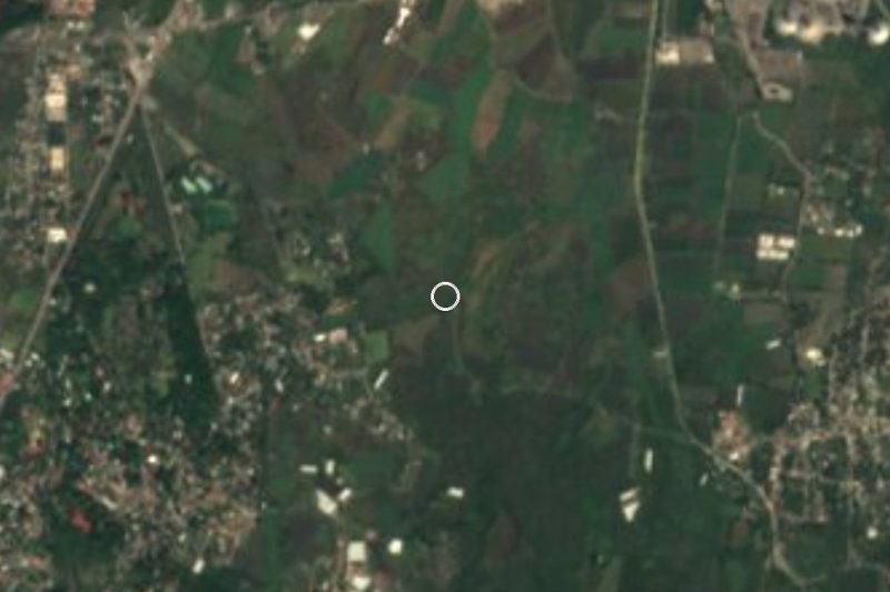
Dry hills rise to the south: El Jumil (1,444 m), 2.5 km off, and Colotepec (1,437 m), under 4 km. The climate is warm steppe, averaging 21.2 °C, with April and May the hottest months and mean rainfall of about 710 mm that climbed to 1,060 mm a year between 2015 and 2025. There is no lodging in the locality; the closest is in Temixco, about 2 km away.
How to get to Benito Juárez (La Monera)
Drive from Cuernavaca: 25 min, 23 km
La Monera is about 6 km in a straight line from Temixco city, about 5 km from Xochitepec and about 13 km from Cuernavaca (roughly 20 minutes by car, depending on traffic). From Mexico City take the Autopista del Sol (95D) toward Cuernavaca, about 97 km and roughly an hour and a half; the highway has exits for Temixco, and from there local roads lead southwest. If you go via Xochitepec first, the drive is short, about 10 minutes.
By bus, take a Cuernavaca service from the Terminal Sur (Taxqueña) with Pullman de Morelos; we could not confirm departures, so check them before you go. There are colectivos to the area from downtown Cuernavaca and from Temixco city, but we found no published routes, so ask for "La Monera". Do not mix it up with the other Benito Juárez localities in Morelos, in Ayala and Coatlán del Río.
Directions to Benito Juárez (La Monera) on Google Maps
Distances are in a straight line; the road is usually longer.
Links open a partner site. We may earn a commission if you book, at no cost to you.
From the nearest cities to Benito Juárez (La Monera)
- Cuernavaca · 23 km by road, 25 min
- Cuautla · 79 km by road, 1 h 5 min
- Taxco · 76 km by road, 1 h 20 min
Drive times by road from OpenStreetMap, without traffic or stops. Times marked ~ are estimated from the straight-line distance.
Visiting Benito Juárez (La Monera): what to see and do
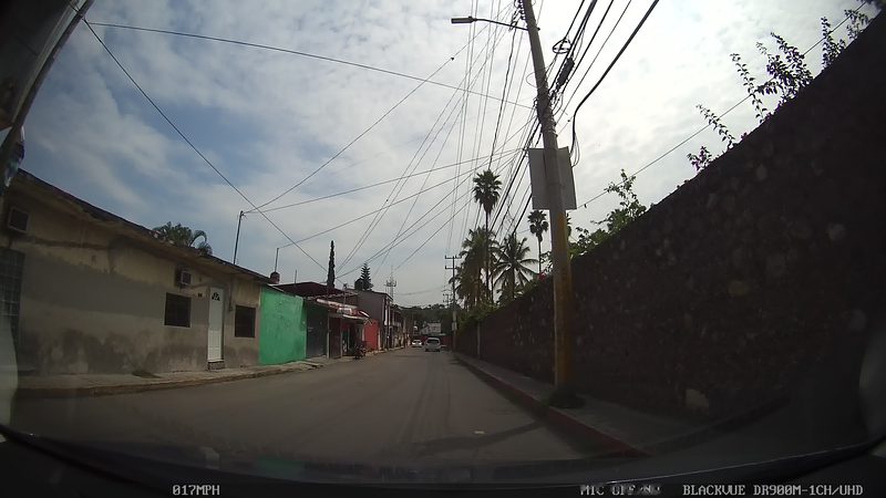
Walk through La Monera and notice how old houses and new colonias mix.
Visit San Agustín Tetlama, 2 km to the northwest.
Hike toward El Jumil (1,444 m), 2.5 km south, about 45 minutes.
Go to Xochitepec, about 5 km away, and its Museo Doctor Emeterio González.
Drop down to Cuernavaca, about 13 km, for a meal and a stroll.
Plan your trip
Places to stay in Benito Juárez (La Monera)
Compare hotels, posadas, and rentals in and around Benito Juárez (La Monera).
Tours & activities
Day trips and guided outings from Xochitepec often include Benito Juárez (La Monera); with a local guide you can get there without a car.
Rental cars
Pick up a car at TLC (Toluca): about 1 h 59 min by road to Xochitepec, then 5 km more to Benito Juárez (La Monera), on your own schedule.
Flights
The nearest airport with scheduled flights is Toluca (TLC), about 1 h 59 min by road from Xochitepec, the base for Benito Juárez (La Monera).
Mobile data
Signal can drop away from Xochitepec: download a map of the way to Benito Juárez (La Monera) before you set out, or carry an eSIM with data.
Links open a partner site. We may earn a commission if you book, at no cost to you.
When to go to Benito Juárez (La Monera) warm
Benito Juárez (La Monera) shares the climate of Xochitepec, 5 km away. The best months to visit are January, February, November, and December.
See the month-by-month climate of Xochitepec
Weather in Benito Juárez (La Monera) now and the next 7 days
Live forecast from Open-Meteo. Chance of rain is the day's highest.
The closest Pueblo Mágico: Xochitepec

Xochitepec is the Pueblo Mágico closest to Benito Juárez (La Monera), with places to stay, food, and more to see.
Also close to
- Tlaltizapán · Morelos · 19 km away
- Tepoztlán · Morelos · 26 km away
- Malinalco · Estado de México · 29 km away
- Tlayacapan · Morelos · 34 km away
- Tonatico · Estado de México · 42 km away
Closest to Benito Juárez (La Monera)
-
José María Morelos y Pavón · Village · 1 km away
-
San Agustín Tetlama · Village · 2 km away
-
Unidad Morelos · Town · 2 km away
-
La Rivera · Village · 3 km away
-
Xochicalco · Archaeological site · 3 km away
-
Acatlipa · Town · 4 km away
-
Eterna Primavera · Village · 4 km away
-
Rubén Jaramillo · Town · 4 km away

Near Benito Juárez (La Monera)







Drive times by road from OpenStreetMap, without traffic. Times marked ~ are estimated from the straight-line distance.
Location from OpenStreetMap. Written by Puebloteca.