Town Temixco, Morelos Municipality of Temixco Southern Morelos
Old village in southern Temixco with a San Andrés church, a rodeo tradition, the Ojo de Agua spring baths and chinelo dancing on 2 April and 30 November.
From Cuernavaca: 15 min by car (13 km by road) How to get there ↓
Near here



Plan your visit to Acatlipa
Where to stay near Acatlipa
Compare hotels, posadas and guest houses in Acatlipa.
Tours to Acatlipa
Day trips around Xochitepec sometimes stop in Acatlipa; a tour is the easy way to see it without a car.
 Tours from Cuernavaca
3hr Cooking Class in Cuernavaca 8 Recipes and Bottomless Drinks
From US$59
How to get to Acatlipa
- From Cuernavaca: about 15 min by road (~13 km)
- Nearest airport: Toluca (TLC), 1 h 59 min by car to Xochitepec
Links open a partner site. We may earn a commission if you book, at no cost to you.
Tours from Cuernavaca, near Acatlipa


Tours, prices and ratings from Viator, checked weekly. We may earn a commission if you book.
About Acatlipa
Acatlipa, sometimes spelled Acatlicpac, lies in the south of the municipality of Temixco, right where it meets Xochitepec. The name is Nahuatl: acatl can mean cane or the wind god, and icpac means "on top", and locals read it as the "sanctuary of the wind god". With Cuentepec it is one of only two villages of the old lordship of Cuauhnáhuac that fall inside today's Temixco, and it already existed, like Tetlama and Cuentepec, when the Marquesado del Valle was granted in 1529.
The written record leaves a few solid dates. On 10 February 1610 Captain Gaspar Yáñez Osorio bought a caballería of irrigated land that the villagers had asked the viceroy to sell, citing need. In March 1933, when the free municipality of Temixco was created, Acatlipa was one of its four settlements, along with Temixco, Cuentepec and Tetlama. The village has since outgrown its old layout: in 2016 the Diario de Morelos counted about fifteen colonias around it, new ones still appearing, and reported thousands of visitors every weekend.
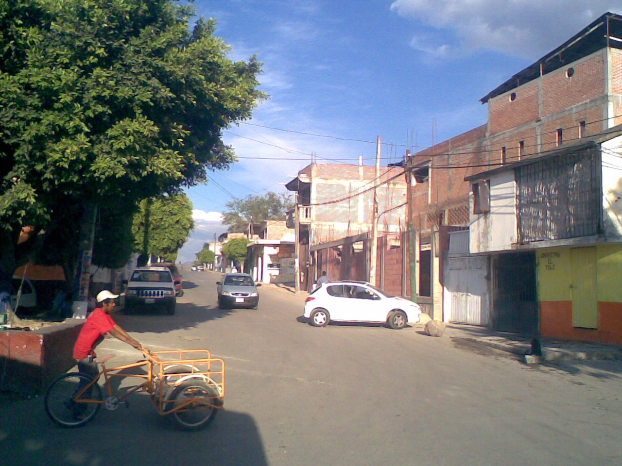
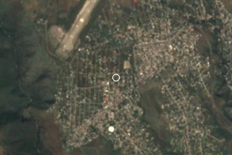
The centre is built around the church of San Andrés Apóstol, the main square with its bandstand, a park and the bullring. A few metres away is the Ojo de Agua bathing spot, known for the spring that rises on the site itself. Stalls beside the ring sell tamales de elote, esquites and roasted corn. A resident quoted in that same report says Acatlipa produced great riders and that its jaripeos were the best in the state; that is local pride rather than a ranking, but it explains why the ring is the heart of the festivals.
There are two of them. On 2 April the village marks its anniversary, and on 30 November it keeps the day of San Andrés, which opens with mañanitas played by a wind band. Both bring the brinco del chinelo dance, a jaripeo in the ring and a dance at night. About 1.5 km to the north-west is Colonia Rubén Jaramillo, whose land was carved out of the Acatlipa ejido.
How to get to Acatlipa
Drive from Cuernavaca: 15 min, 13 km
Acatlipa is about 13 km by road from the centre of Cuernavaca, roughly 20 minutes by car according to a route calculator. The Diario de Morelos describes the way like this: from Cuernavaca take the Acapulco road towards Temixco, turn in along the road to the Temixco ex-hacienda and follow the main avenue; the village is about five minutes further on. Coming from Mexico City, take the Autopista del Sol (95D) to Cuernavaca, about 85 km (approx.), and keep going south through Temixco; allow around 13 km more.
By bus, Pullman de Morelos runs from the Terminal Central del Sur (Taxqueña) to Cuernavaca, and Rome2Rio puts the ride at about 1 h 15 min. In Cuernavaca, city routes reach Acatlipa: local route blogs list ruta 1, which starts at the UAEM, runs down Avenida Álvaro Obregón through Chipitlán and Temixco and ends in Acatlipa, and ruta 3, which passes Cuernavaca Centro, Temixco Centro and Acatlipa. Those blogs are several years old, so ask the driver, who usually shows the destination on the windscreen.
From Xochitepec, the nearest pueblo (about 9 km as the crow flies, approx. 15 minutes by car), a taxi is the easy option, or go back to the Acapulco road.
Directions to Acatlipa on Google Maps
Distances are in a straight line; the road is usually longer.
Links open a partner site. We may earn a commission if you book, at no cost to you.
From the nearest cities to Acatlipa
- Cuernavaca · 13 km by road, 15 min
- Cuautla · 69 km by road, 55 min
- Taxco · 71 km by road, 1 h 15 min
Drive times by road from OpenStreetMap, without traffic or stops. Times marked ~ are estimated from the straight-line distance.
What to see in Acatlipa 2
Sights with their own page, closest to the centre first.
Hot springs
-
Parque Acuático Ojo de Agua · Hot springs · 1 km from the centre
Water park with pools, a wave river and slides in Acatlipa, Temixco, open daily. Not to be confused with the Ex Hacienda de Temixco park.
Landmarks and museums
-
Balneario Ex-Hacienda de Temixco · Landmark · 2 km from the centre
A big water park built inside the walls and arches of a colonial sugar hacienda.
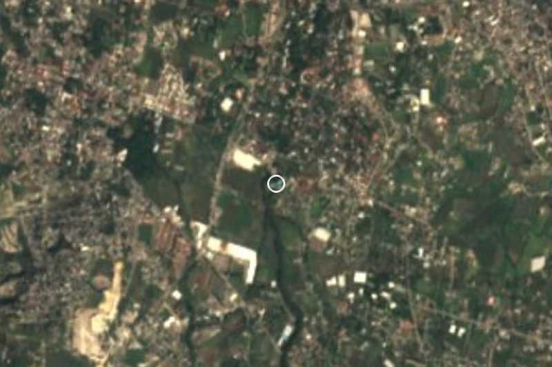
Map of Acatlipa
Neighbourhoods and villages of Acatlipa
Part of Acatlipa or just outside it, closest first.
-
La Rivera · Village · 1 km from the centre
Neighbourhood south of Temixco next to Acatlipa, about 12 km from Cuernavaca and 6 km from the Xochicalco ruins. -
Campo Sotelo · Village · 2 km from the centre
Temixco locality 2.7 km from the municipal centre, beside the Autopista del Sol; it grew from 370 to 1,379 residents between 2000 and 2020. -
Rubén Jaramillo · Town · 2 km from the centre
Temixco colonia born on 31 March 1973 from a land occupation; named for the peasant leader Rubén Jaramillo, killed in 1962. -
José María Morelos y Pavón · Village · 3 km from the centre
Housing-estate settlement in Xochitepec with almost 12,000 residents, beside Acatlipa and 12 km from Cuernavaca. -
Tezoyuca · Village · 3 km from the centre
Village in Emiliano Zapata at 1,211 m, with a church of Santa Ana and about 5,500 people, south of Cuernavaca. -
Unidad Morelos · Town · 3 km from the centre
Housing estate José María Morelos y Pavón in Xochitepec: 11,805 people in 2020, the municipality's second-largest locality. Not the IPN campus. -
Benito Juárez (La Monera) · Village · 4 km from the centre
A locality of 771 people in Temixco, Morelos, known as La Monera, at 1,270 m, 6 km southwest of Temixco city and close to Xochitepec. -
Colonia Morelos (Temixco) · Village · 4 km from the centre
Colonia Morelos, inside the town of Temixco, 2.8 km northwest of its centre and next to Cuernavaca. Not the state: a Temixco neighbourhood. -
Eterna Primavera · Village · 4 km from the centre
Rural community in Temixco on the Cuernavaca boundary, at 1,318 m, with 1,088 residents in 2020. Not the 'city of eternal spring' itself.


Day trips and tours from Acatlipa
The closest Pueblos Mágicos and places to visit, with the drive from Acatlipa and tours that leave from it.




Times marked ~ are estimated from the distance. Links open a partner site. We may earn a commission if you book, at no cost to you.
Before you go: getting to and around Acatlipa
- The nearest airport is Toluca (TLC).
- The best months to go are January, February, November, and December.
- 3 of the places on this page are more than 3 km from the centre: take a taxi, a ride-hailing app or a local bus.
- For day trips a rental car gives the most freedom; the tours above leave from Acatlipa.
Before you go to Acatlipa: hours, prices and tips
- Best time of day
- The best dates are 2 April, the village anniversary, and 30 November, the feast of San Andrés: wind-band mañanitas, the brinco del chinelo dance, a jaripeo in the ring and a dance. Diario de Morelos (2016) · checked Oct 2026
Hours and prices change, especially around holidays. Each fact links to where we checked it.
Visiting Acatlipa: what to see and do
Step into the church of San Andrés Apóstol, in the middle of the village.
Sit in the main square, beside the bandstand and the park.
Take a dip at the Ojo de Agua baths, a few metres from the centre.
Try tamales de elote, esquites and roasted corn from the stalls by the ring.
Catch a jaripeo at the bullring during the 2 April or 30 November festivities.
Ask locals about the viewpoint on the Cerro de las Tres Cruces.
Plan your trip
Places to stay in Acatlipa
Compare hotels, posadas, and rentals in and around Acatlipa.
Tours & activities
Day trips around Xochitepec sometimes stop in Acatlipa; a tour is the easy way to see it without a car.
Rental cars
Pick up a car at TLC (Toluca): about 1 h 59 min by road to Xochitepec, then 9 km more to Acatlipa, on your own schedule.
Flights
The nearest airport with scheduled flights is Toluca (TLC), about 1 h 59 min by road from Xochitepec, the base for Acatlipa.
Mobile data
Signal can drop away from Xochitepec: download a map of the way to Acatlipa before you set out, or carry an eSIM with data.
Links open a partner site. We may earn a commission if you book, at no cost to you.
When to go to Acatlipa warm
Acatlipa shares the climate of Xochitepec, 9 km away. The best months to visit are January, February, November, and December.
See the month-by-month climate of Xochitepec
Weather in Acatlipa now and the next 7 days
Live forecast from Open-Meteo. Chance of rain is the day's highest.
The closest Pueblo Mágico: Xochitepec

Xochitepec is the Pueblo Mágico closest to Acatlipa, with places to stay, food, and more to see.
Also close to
- Tlaltizapán · Morelos · 18 km away
- Tepoztlán · Morelos · 23 km away
- Tlayacapan · Morelos · 30 km away
- Malinalco · Estado de México · 32 km away
- Tonatico · Estado de México · 46 km away
Near Acatlipa



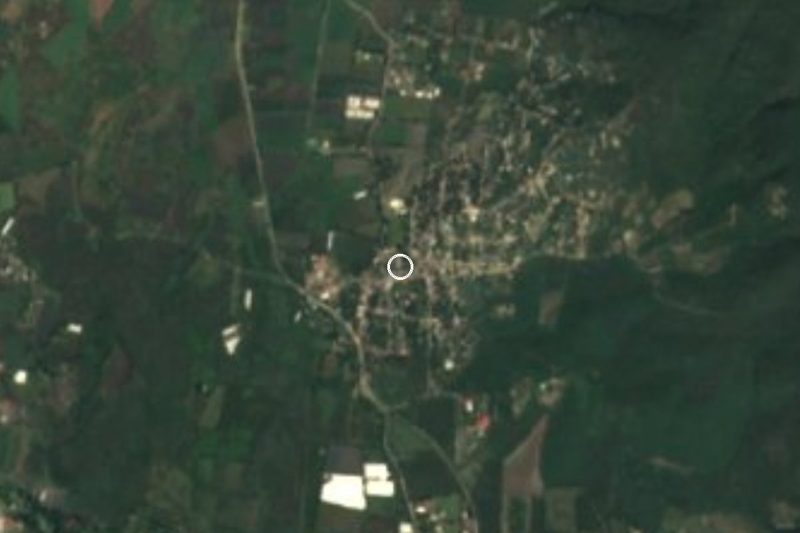



Drive times by road from OpenStreetMap, without traffic. Times marked ~ are estimated from the straight-line distance.
Location from OpenStreetMap. Written by Puebloteca.