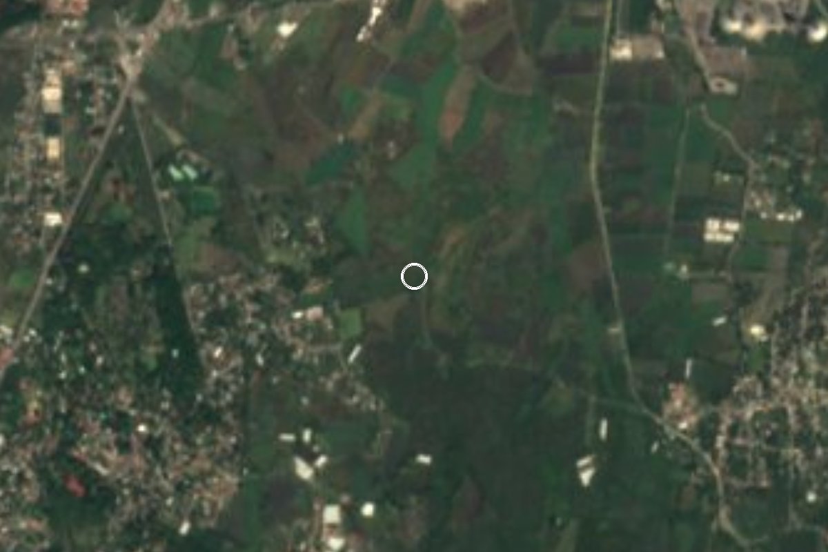
Village Xochitepec, Morelos Municipality of Xochitepec Southern Morelos
Hamlet of 141 people in Xochitepec, at 1,172 m, a kilometre from Chiconcuac and 6 km from the centre of Xochitepec.
From Cuernavaca: 20 min by car (19 km by road) How to get there ↓
Near here
See everything nearby ↓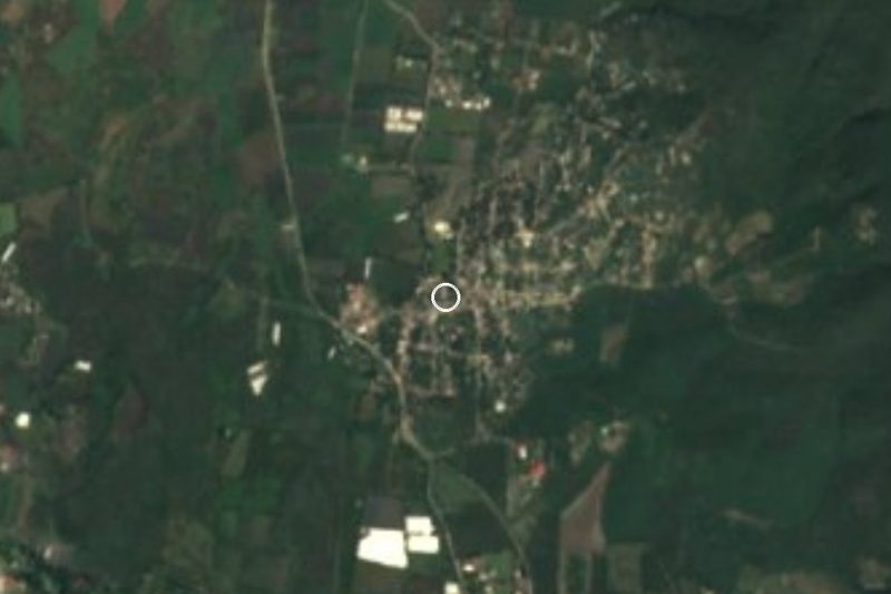




Plan your visit to San Francisco
Where to stay near San Francisco
Compare hotels, posadas and guest houses in San Francisco.
Tours to San Francisco
Day trips and guided outings from Tlaltizapán often include San Francisco; with a local guide you can get there without a car.
How to get to San Francisco
- From Cuernavaca: about 20 min by road (~19 km)
- Nearest airport: Mexico City (MEX), 1 h 55 min by car to Tlaltizapán
Links open a partner site. We may earn a commission if you book, at no cost to you.
About San Francisco
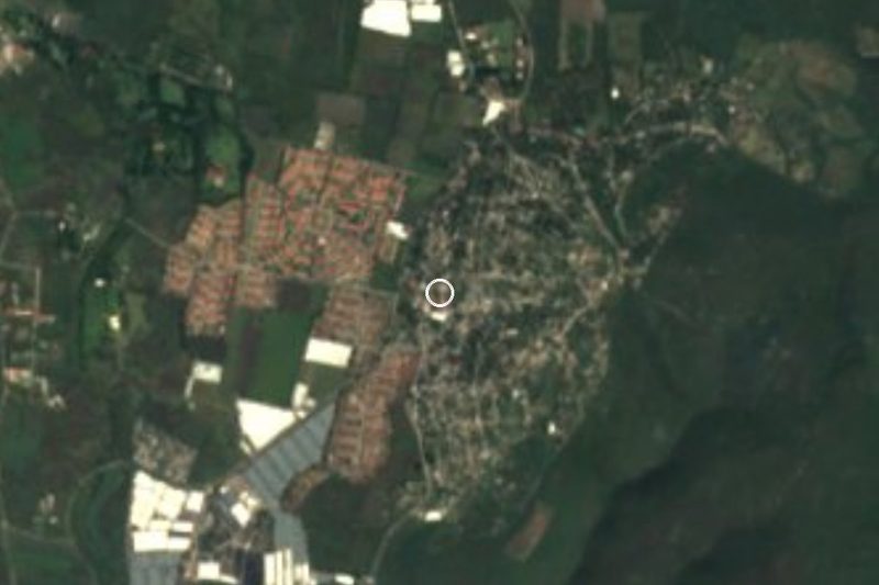
San Francisco is one of the 90 localities of the municipality of Xochitepec, and among the smallest: the 2020 census gave it 141 residents (71 women and 70 men), down from 185 in 2010, ranking 23rd by population. It lies at about 1,172 metres above sea level, 4.3 km in a straight line east of Xochitepec and barely 1 km southwest of Chiconcuac, a much larger village of 7,622 people, where the San Ramón balneario is found.
The name is not unusual in the region. The Códice Municipal de Cuernavaca lists a San Francisco among the pueblos obliged to decorate the town's palace on its patron feast, alongside Xochitepec, Alpuyeca, Xoxocotla and Acatlipa; we cannot say it is this same locality, only that the place name is old in the area.
The climate is warm and semi-arid: the annual mean is about 22 C, the lowest temperature recorded since 1970 was 5.7 C and the highest 40 C, and about 724 mm of rain fall a year, mostly June to September. It is a place of farmland and scattered houses with no tourist services; what you visit is the surrounding area: Chiconcuac, Xochitepec with its Franciscan ex-convent of San Juan Evangelista, and the area's balnearios.
How to get to San Francisco
Drive from Cuernavaca: 20 min, 19 km
San Francisco is in the municipality of Xochitepec, south of Cuernavaca, about 6 km (roughly 7 minutes by car) from central Xochitepec and 1 km from Chiconcuac. From Mexico City take the Autopista del Sol (95D) toward Acapulco, pass Cuernavaca and Temixco and exit at Xochitepec. From the Terminal Sur (Taxqueña), Pullman de Morelos runs to Cuernavaca, and from there urban transport reaches Xochitepec and Chiconcuac; we found no published route to San Francisco itself, so ask for Chiconcuac and walk or take a taxi for the last kilometre.
Cuernavaca, the nearest city, is about 16 km in a straight line (about 20 minutes by car). Xochitepec, the nearest pueblo, is about 12 km by our estimate (about 15 minutes).
Directions to San Francisco on Google Maps
Distances are in a straight line; the road is usually longer.
Links open a partner site. We may earn a commission if you book, at no cost to you.
From the nearest cities to San Francisco
- Cuernavaca · 19 km by road, 20 min
- Cuautla · 53 km by road, 1 h
- Taxco · 69 km by road, 1 h 15 min
Drive times by road from OpenStreetMap, without traffic or stops. Times marked ~ are estimated from the straight-line distance.
Visiting San Francisco: what to see and do
Walk the country tracks between San Francisco and Chiconcuac, 1 km away.
Stop at the San Ramón balneario in Chiconcuac.
Visit the ex-convent of San Juan Evangelista in Xochitepec.
Bring a hat and water: April is the hottest month, averaging almost 25 C.
Plan your trip
Places to stay in San Francisco
Compare hotels, posadas, and rentals in and around San Francisco.
Tours & activities
Day trips and guided outings from Tlaltizapán often include San Francisco; with a local guide you can get there without a car.
Rental cars
Pick up a car at MEX (Mexico City): about 1 h 55 min by road to Tlaltizapán, then 12 km more to San Francisco, on your own schedule.
Flights
The nearest airport with scheduled flights is Mexico City (MEX), about 1 h 55 min by road from Tlaltizapán, the base for San Francisco.
Mobile data
Signal can drop away from Tlaltizapán: download a map of the way to San Francisco before you set out, or carry an eSIM with data.
Links open a partner site. We may earn a commission if you book, at no cost to you.
When to go to San Francisco warm
San Francisco shares the climate of Tlaltizapán, 12 km away. The best months to visit are January, October, November, and December.
See the month-by-month climate of Tlaltizapán
Weather in San Francisco now and the next 7 days
Live forecast from Open-Meteo. Chance of rain is the day's highest.
The closest Pueblo Mágico: Tlaltizapán

Tlaltizapán is the Pueblo Mágico closest to San Francisco, with places to stay, food, and more to see.
Also close to
- Xochitepec · Morelos · 12 km away
- Tepoztlán · Morelos · 24 km away
- Tlayacapan · Morelos · 29 km away
- Malinalco · Estado de México · 37 km away
- Tonatico · Estado de México · 50 km away
Closest to San Francisco
-
Tepetzingo · Village · 1 km away
-
Chiconcuac · Village · 2 km away
-
Tezoyuca · Village · 2 km away
-
Tetecalita · Village · 3 km away
-
Villas de Xochitepec · Village · 4 km away
-
Emiliano Zapata · Town · 5 km away
-
Estadio Mariano Matamoros · Landmark · 5 km away
-
Acatlipa · Town · 6 km away


Near San Francisco

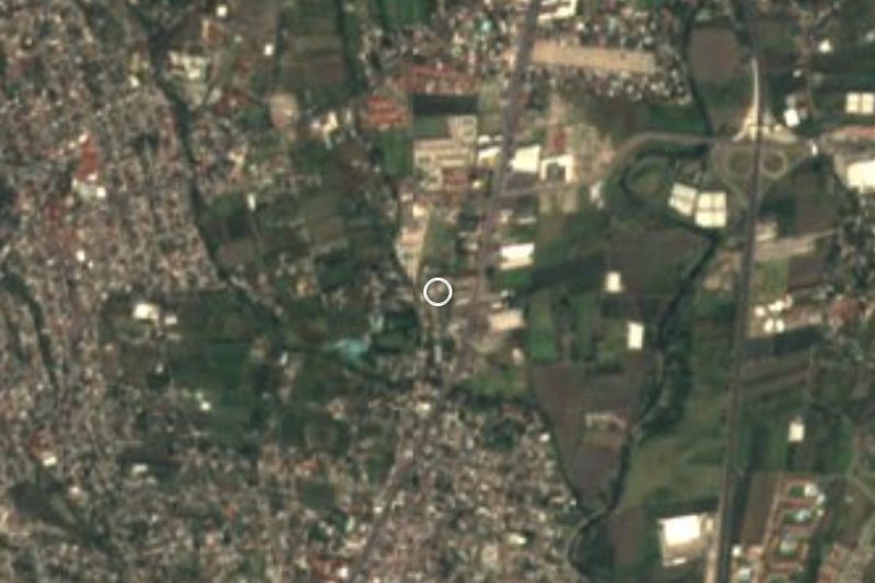



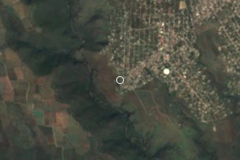

Drive times by road from OpenStreetMap, without traffic. Times marked ~ are estimated from the straight-line distance.
Location from OpenStreetMap. Written by Puebloteca.