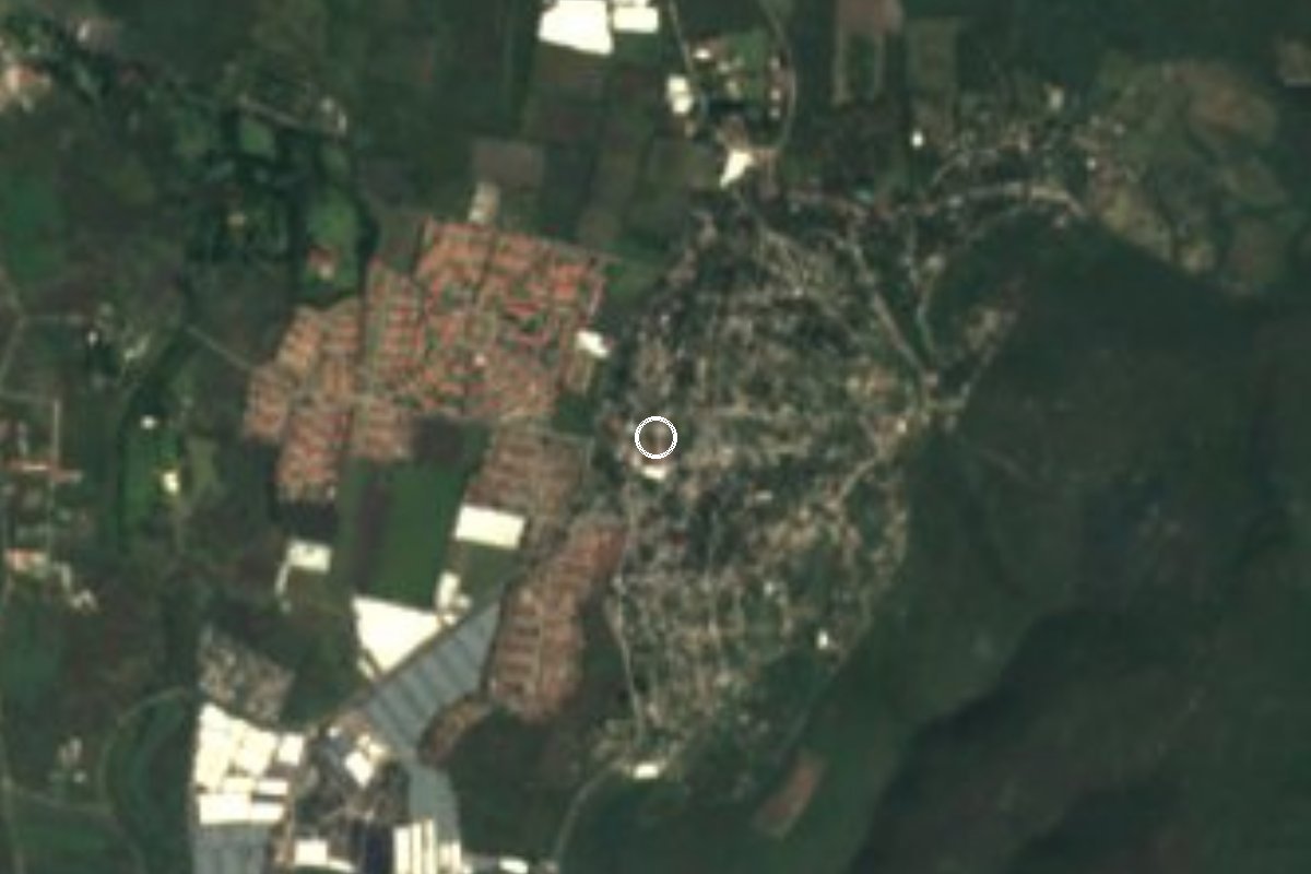
Village Emiliano Zapata, Morelos Municipality of Emiliano Zapata Southern Morelos
Subsidiary seat of Emiliano Zapata with 3,963 people; 'stone house' in Nahuatl. Feast of San Mateo on 21 September.
From Cuernavaca: 25 min by car (22 km by road) How to get there ↓
Near here
See everything nearby ↓



Plan your visit to Tetecalita
Where to stay near Tetecalita
Compare hotels, posadas and guest houses in Tetecalita.
Tours to Tetecalita
Day trips and guided outings from Tlaltizapán often include Tetecalita; with a local guide you can get there without a car.
 Tours from Cuernavaca
3hr Cooking Class in Cuernavaca 8 Recipes and Bottomless Drinks
From US$59
How to get to Tetecalita
- From Cuernavaca: about 25 min by road (~22 km)
- Nearest airport: Mexico City (MEX), 1 h 55 min by car to Tlaltizapán
Links open a partner site. We may earn a commission if you book, at no cost to you.
Tours from Cuernavaca, near Tetecalita


Tours, prices and ratings from Viator, checked weekly. We may earn a commission if you book.
About Tetecalita
House or vault of stone: that is what Tetecalita means in Nahuatl (tetl, stone; calli, house). It is one of the subsidiary seats (ayudantías) of the municipality of Emiliano Zapata, in the municipality's south, at 1,151 m above sea level, with Xochitepec to the west and Tlaltizapán to the east and south.
It is growing fast. The census counted 2,270 people in 2005, 3,055 in 2010 and 3,963 in 2020, fifth among the municipality's 41 localities; about a quarter of residents were born outside Morelos, a sign of its closeness to the Cuernavaca metropolitan area. Most homes have piped water, and in 2020 63% had internet, against barely 6% ten years earlier.
The patron saint's feast honours San Mateo Apóstol and falls on 21 September. Hills ring the village: to the northeast, about 4 km off, stands Cueva del Aire (1,648 m), and farther out La Trinchera (1,586 m). The village has taquerías and snack stands; the bars and pulquerías are in Chiconcuac, about 2.7 km away.
The climate is warm and semi-dry, around 22 °C on average with 720 mm of rain a year. We found no published hours or fees for any site here and no reliable details on its church, so we leave them out.
How to get to Tetecalita
Drive from Cuernavaca: 25 min, 22 km
Tetecalita is about 18 km straight-line from Cuernavaca and some 8 km south of the municipal seat, Emiliano Zapata. A local road runs Chiconcuac to Tetecalita, and the Autopista del Sol (Mexico City to Acapulco) is reached at the Emiliano Zapata toll booth; we could not confirm the numbers of local roads, so use GPS for the last stretch. A La Unión de Morelos article, about 12 years old, describes an urban route (Ruta 20) from Tezoyuca to Cuernavaca through Tetecalita and Tepetzingo; the route may have changed, so check it locally. Xochitepec is roughly 8 to 9 km by road; from Cuernavaca allow about 25 to 35 minutes by car (our estimate).
Directions to Tetecalita on Google Maps
Distances are in a straight line; the road is usually longer.
Links open a partner site. We may earn a commission if you book, at no cost to you.
From the nearest cities to Tetecalita
- Cuernavaca · 22 km by road, 25 min
- Cuautla · 54 km by road, 1 h 10 min
- Taxco · 71 km by road, 1 h 20 min
Drive times by road from OpenStreetMap, without traffic or stops. Times marked ~ are estimated from the straight-line distance.
Before you go to Tetecalita: hours, prices and tips
- Best season
- Patron saint's day (San Mateo Apóstol): 21 September. es.wikipedia.org · checked Oct 2026
Hours and prices change, especially around holidays. Each fact links to where we checked it.
Visiting Tetecalita: what to see and do
Join the feast of San Mateo Apóstol on 21 September.
Look northeast to Cueva del Aire (1,648 m).
Eat tacos and snacks in the village centre.
Walk to Tepetzingo, 1.5 km away.
Step over to Chiconcuac, 2.7 km northwest, for more shops.
Plan your trip
Places to stay in Tetecalita
Compare hotels, posadas, and rentals in and around Tetecalita.
Tours & activities
Day trips and guided outings from Tlaltizapán often include Tetecalita; with a local guide you can get there without a car.
Rental cars
Pick up a car at MEX (Mexico City): about 1 h 55 min by road to Tlaltizapán, then 10 km more to Tetecalita, on your own schedule.
Flights
The nearest airport with scheduled flights is Mexico City (MEX), about 1 h 55 min by road from Tlaltizapán, the base for Tetecalita.
Mobile data
Signal can drop away from Tlaltizapán: download a map of the way to Tetecalita before you set out, or carry an eSIM with data.
Links open a partner site. We may earn a commission if you book, at no cost to you.
When to go to Tetecalita warm
Tetecalita shares the climate of Tlaltizapán, 10 km away. The best months to visit are January, October, November, and December.
See the month-by-month climate of Tlaltizapán
Weather in Tetecalita now and the next 7 days
Live forecast from Open-Meteo. Chance of rain is the day's highest.
The closest Pueblo Mágico: Tlaltizapán

Tlaltizapán is the Pueblo Mágico closest to Tetecalita, with places to stay, food, and more to see.
Also close to
- Xochitepec · Morelos · 14 km away
- Tepoztlán · Morelos · 26 km away
- Tlayacapan · Morelos · 29 km away
- Malinalco · Estado de México · 39 km away
- Taxco · Guerrero · 51 km away
Closest to Tetecalita
-
Tepetzingo · Village · 2 km away
-
Chiconcuac · Village · 3 km away
-
San Francisco · Village · 3 km away
-
Reserva Estatal Sierra de Montenegro · Nature reserve · 5 km away
-
Temimilcingo · Village · 5 km away
-
Tezoyuca · Village · 5 km away
-
Villas de Xochitepec · Village · 5 km away
-
Atlacholoaya · Village · 6 km away


Near Tetecalita

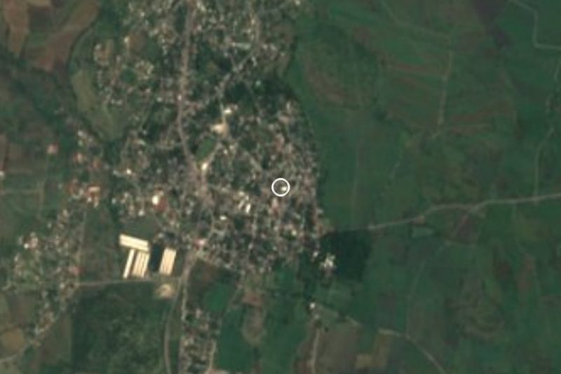




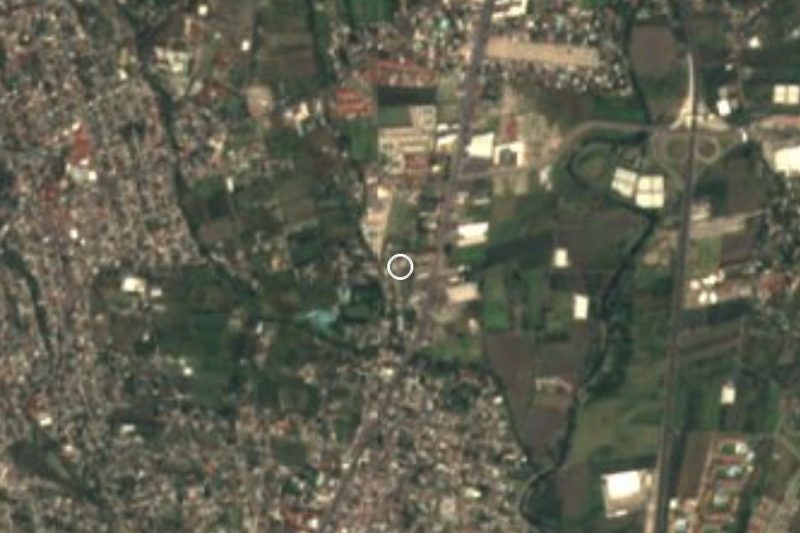
Drive times by road from OpenStreetMap, without traffic. Times marked ~ are estimated from the straight-line distance.
Location from OpenStreetMap. Written by Puebloteca.