
Village Xochitepec, Morelos Municipality of Xochitepec Southern Morelos
Tlahuica-origin village in Xochitepec at 1,080 m, "where the water jumps"; has a former Carmelite convent and San Bartolo's feast on 24 August.
From Cuernavaca: 25 min by car (23 km by road) How to get there ↓
Near here
See everything nearby ↓


Plan your visit to Atlacholoaya
Where to stay near Atlacholoaya
Compare hotels, posadas and guest houses in Atlacholoaya.
Tours to Atlacholoaya
Day trips and guided outings from Xochitepec often include Atlacholoaya; with a local guide you can get there without a car.
 Tours from Cuernavaca
3hr Cooking Class in Cuernavaca 8 Recipes and Bottomless Drinks
From US$59
How to get to Atlacholoaya
- From Cuernavaca: about 25 min by road (~23 km)
- Nearest airport: Toluca (TLC), 1 h 59 min by car to Xochitepec
Links open a partner site. We may earn a commission if you book, at no cost to you.
Tours from Cuernavaca, near Atlacholoaya


Tours, prices and ratings from Viator, checked weekly. We may earn a commission if you book.
About Atlacholoaya
The name Atlacholoaya, from Nahuatl atl, choloa and yan, means "place where the water jumps". It is a village of Tlahuica origin whose people speak Nahuatl, and it already appears in the 16th-century Matrícula de Tributos as a tributary of Mexico-Tenochtitlan, according to a regional INAH chronicle. It sits at about 1,080 m in the municipality of Xochitepec, and the 2020 census counted 4,594 residents. Its growth is recent: 401 people in 1930 and 1,641 in 1970, now over 4,500.
Its religious heritage is the main draw. The San Antonio church, a former Carmelite convent in Baroque style, keeps old paintings inside, and the small late-Baroque chapel of San Bartolo gives its name to the village feast on 24 August. During those days families host visitors with mole de pipián, red mole, pollo en adobo or cochinita, a fireworks castle is burned at night and rodeo events (jaripeos) go on for about five more days. The sources We found give no founding date or builder for either building.
The locality also has Morelos's women's prison, the CERESO de Atlacholoaya, which is what searches for this name mostly turn up, though it is not a place to visit.
How to get to Atlacholoaya
Drive from Cuernavaca: 25 min, 23 km
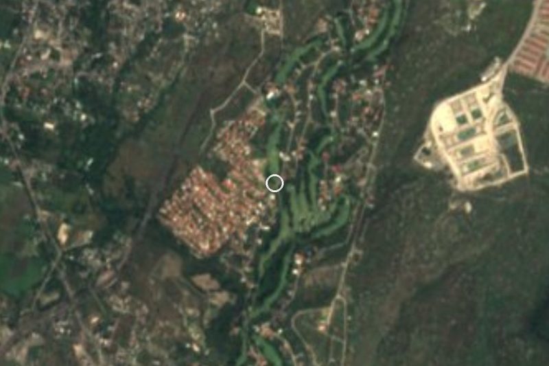
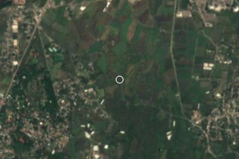
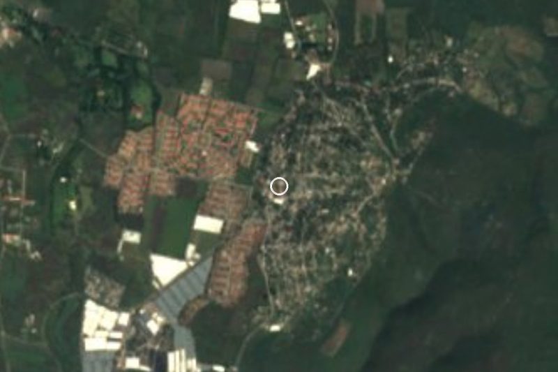
Atlacholoaya is in the municipality of Xochitepec, between Cuernavaca and southern Morelos, about 20 km south of Cuernavaca (roughly 25 minutes by car; Rome2Rio gives 18 km and about 16 minutes to Xochitepec, the seat). By coordinates it lies south of Xochitepec and about 3 km east of Alpuyeca. Take the Autopista del Sol (Mexico 95D, toward Acapulco) or the free road to Xochitepec, and look for the turn to Atlacholoaya, which an old local guide places about 2 km after a signalised crossing, past a gentle bend and a sharp one, turning right. Check it on a map before you leave. By public transport, Pullman de Morelos reaches Chiconcuac, from where a taxi is advisable, and colectivos run often between Alpuyeca and Cuernavaca; We found no direct colectivo route to Atlacholoaya. From Mexico City, take a bus to Cuernavaca from Terminal Sur (Taxqueña) and change there. Xochitepec is roughly 10 minutes away.
Directions to Atlacholoaya on Google Maps
Distances are in a straight line; the road is usually longer.
Links open a partner site. We may earn a commission if you book, at no cost to you.
From the nearest cities to Atlacholoaya
- Cuernavaca · 23 km by road, 25 min
- Cuautla · 57 km by road, 1 h 5 min
- Taxco · 63 km by road, 1 h 10 min
Drive times by road from OpenStreetMap, without traffic or stops. Times marked ~ are estimated from the straight-line distance.
Before you go to Atlacholoaya: hours, prices and tips
- Best season
- Village feast of San Bartolo on 24 August, with fireworks and rodeo events (jaripeos) for about five days afterwards. Wikipedia (es), Municipio de Xochitepec · checked Oct 2026
Hours and prices change, especially around holidays. Each fact links to where we checked it.
Visiting Atlacholoaya: what to see and do
Step into the San Antonio church, a Baroque former Carmelite convent, and see its old paintings.
Visit the small late-Baroque chapel of San Bartolo.
Come on 24 August for the feast: fireworks castle, mole and jaripeos.
Walk the village streets and the fields around them.
Try mole de pipián or cochinita if invited during the fiesta.
Plan your trip
Places to stay in Atlacholoaya
Compare hotels, posadas, and rentals in and around Atlacholoaya.
Tours & activities
Day trips and guided outings from Xochitepec often include Atlacholoaya; with a local guide you can get there without a car.
Rental cars
Pick up a car at TLC (Toluca): about 1 h 59 min by road to Xochitepec, then 10 km more to Atlacholoaya, on your own schedule.
Flights
The nearest airport with scheduled flights is Toluca (TLC), about 1 h 59 min by road from Xochitepec, the base for Atlacholoaya.
Mobile data
Signal can drop away from Xochitepec: download a map of the way to Atlacholoaya before you set out, or carry an eSIM with data.
Links open a partner site. We may earn a commission if you book, at no cost to you.
When to go to Atlacholoaya warm
Atlacholoaya shares the climate of Xochitepec, 10 km away. The best months to visit are January, February, November, and December.
See the month-by-month climate of Xochitepec
Weather in Atlacholoaya now and the next 7 days
Live forecast from Open-Meteo. Chance of rain is the day's highest.
The closest Pueblo Mágico: Xochitepec

Xochitepec is the Pueblo Mágico closest to Atlacholoaya, with places to stay, food, and more to see.
Also close to
- Tlaltizapán · Morelos · 11 km away
- Tepoztlán · Morelos · 30 km away
- Tlayacapan · Morelos · 35 km away
- Malinalco · Estado de México · 37 km away
- Taxco · Guerrero · 45 km away
Closest to Atlacholoaya
-
Estadio Mariano Matamoros · Landmark · 3 km away
-
Santa Fe · Village · 3 km away
-
Villas de Xochitepec · Village · 3 km away
-
Alpuyeca · Village · 4 km away
-
Chiconcuac · Village · 5 km away
-
San Francisco · Village · 6 km away
-
Tetecalita · Village · 6 km away
-
Santa Rosa Treinta · Village · 7 km away
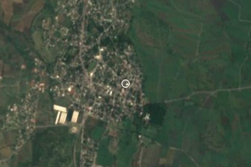
Near Atlacholoaya





Drive times by road from OpenStreetMap, without traffic. Times marked ~ are estimated from the straight-line distance.
Location from OpenStreetMap. Written by Puebloteca.