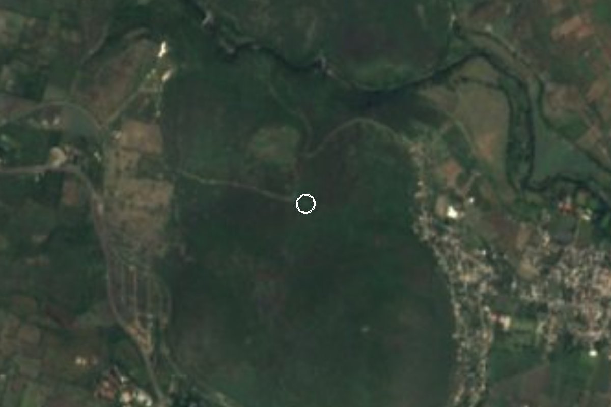
Nature reserve Zacatepec, Morelos Municipality of Zacatepec Southern Morelos
A 310 ha state park (2012) between Zacatepec and Puente de Ixtla, one of the last patches of tropical dry forest in south-central Morelos.
From Cuernavaca: 35 min by car (33 km by road) How to get there ↓
Near here
See everything nearby ↓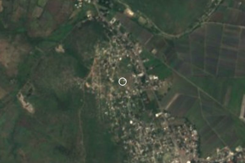


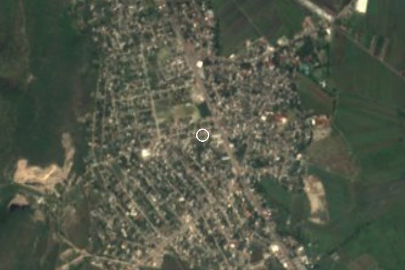

Plan your visit to Parque Estatal Cerro de la Tortuga
Where to stay near Parque Estatal Cerro de la Tortuga
Compare hotels, posadas and guest houses in Parque Estatal Cerro de la Tortuga.
Tours to Parque Estatal Cerro de la Tortuga
Day trips and guided outings from Tlaltizapán often include Parque Estatal Cerro de la Tortuga; with a local guide you can get there without a car.
 Tours from Cuernavaca
3hr Cooking Class in Cuernavaca 8 Recipes and Bottomless Drinks
From US$59
How to get to Parque Estatal Cerro de la Tortuga
- From Cuernavaca: about 35 min by road (~33 km)
- Nearest airport: Mexico City (MEX), 1 h 55 min by car to Tlaltizapán
Links open a partner site. We may earn a commission if you book, at no cost to you.
Tours from Cuernavaca, near Parque Estatal Cerro de la Tortuga


Tours, prices and ratings from Viator, checked weekly. We may earn a commission if you book.
About Parque Estatal Cerro de la Tortuga
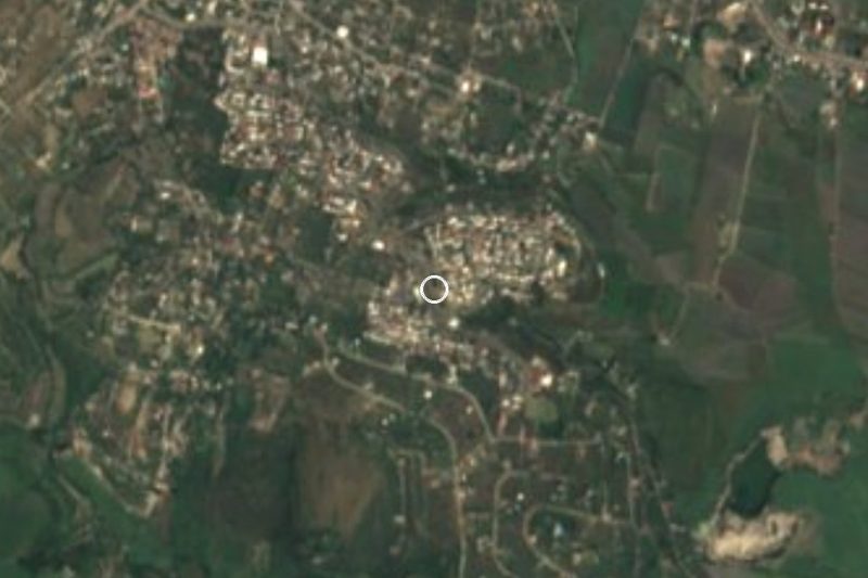
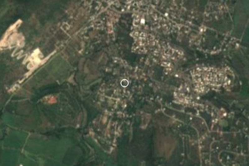
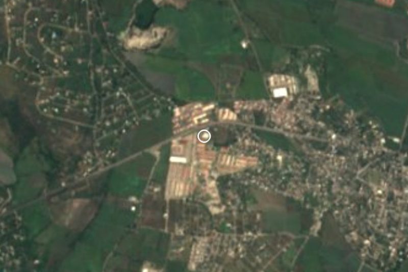
Cerro de la Tortuga is a hill of tropical dry forest rising beside Zacatepec in southern Morelos. The state government made it a protected natural area with the status of state park on 5 September 2012 (Periódico Oficial 5022), covering 310.199 hectares shared by the municipalities of Zacatepec and Puente de Ixtla. The decree gives its reason: urban sprawl was creeping up the hill, which it calls one of the last remnants of tropical vegetation in south-central Morelos and the only natural area of this forest type for the two municipalities. The land belongs to the Tetelpa ejido and the Xoxocotla community, and the decree requires the owners to be consulted before any activity is authorised.
The park was zoned as follows: 158 ha for conservation and use (nearly 51 percent), 94 ha for recreation, almost 24 ha for restoration and about 17 ha for grazing. The recreation zone is meant for rustic walkways, lookouts, mountain-bike routes and rest shelters. A 2021 study in Animal Biodiversity and Conservation recorded 30 mammal species in the park, 14 of them bats, and put the hill's elevation at roughly 915 to 1,200 m.
In November 2022 the state environment ministry ran a nature-spotting walk here with 20 students of the Instituto Tecnológico de Zacatepec; they logged cazahuate and pochote trees, copal and lináloe (Bursera), birds, reptiles and ringtail tracks, and uploaded the records to the Naturalista platform. That gives a fair picture of how the site is used: you visit with a guide and in coordination with the community, not at a ticket booth with services. The dry season, November to May, is the easier time to walk it, when the trails are easier to walk.
How to get to Parque Estatal Cerro de la Tortuga
Drive from Cuernavaca: 35 min, 33 km
The hill sits next to Zacatepec, about 3 km south of the town, which is the usual way in; trail access is arranged through the Tetelpa ejido. From Cuernavaca it is roughly 35 to 40 km by road (about 45 minutes to an hour, approx.): leave on the 95D toward Acapulco, take the Alpuyeca exit and follow the road to Jojutla and Zacatepec. Tlaltizapán is about 8 km away in a straight line.
By bus, from Mexico City's Terminal Sur (Taxqueña) Pullman de Morelos runs to Cuernavaca and to Jojutla; from Jojutla or Cuernavaca there are local combis and buses to Zacatepec (ask for the route at the terminal). Once in Zacatepec, a taxi takes you on to Tetelpa. There is no camping or commercial service inside the park, so let someone know before you go; Morelos's sustainable development ministry can give contact details.
Directions to Parque Estatal Cerro de la Tortuga on Google Maps
Distances are in a straight line; the road is usually longer.
Links open a partner site. We may earn a commission if you book, at no cost to you.
From the nearest cities to Parque Estatal Cerro de la Tortuga
- Cuernavaca · 33 km by road, 35 min
- Cuautla · 58 km by road, 1 h
- Taxco · 59 km by road, 1 h 5 min
Drive times by road from OpenStreetMap, without traffic or stops. Times marked ~ are estimated from the straight-line distance.
Before you go to Parque Estatal Cerro de la Tortuga: hours, prices and tips
- Best time of day
- The dry season, November to May, when the trails are most passable. International Parks · checked Oct 2026
- Rules
- The decree forbids dumping pollutants, blocking or diverting water flows, and any activity that needs authorisation without having it. Decreto del Parque Estatal Cerro de la Tortuga (Periódico Oficial 5022, 2012) · checked Oct 2026
Hours and prices change, especially around holidays. Each fact links to where we checked it.
Visiting Parque Estatal Cerro de la Tortuga: what to see and do
Walk the hill on the trails of the recreation zone, with a guide from the community.
Look for the dry-forest trees: cazahuate, pochote, copal and lináloe.
Watch for bats at dusk and ringtail tracks along the path.
Head for the high points, up to about 1,200 m, for views of Zacatepec and the valley.
Plan your trip
Places to stay in Parque Estatal Cerro de la Tortuga
Compare hotels, posadas, and rentals in and around Parque Estatal Cerro de la Tortuga.
Tours & activities
Day trips and guided outings from Tlaltizapán often include Parque Estatal Cerro de la Tortuga; with a local guide you can get there without a car.
Rental cars
Pick up a car at MEX (Mexico City): about 1 h 55 min by road to Tlaltizapán, then 8 km more to Parque Estatal Cerro de la Tortuga, on your own schedule.
Flights
The nearest airport with scheduled flights is Mexico City (MEX), about 1 h 55 min by road from Tlaltizapán, the base for Parque Estatal Cerro de la Tortuga.
Travel insurance
If you plan on hiking at Parque Estatal Cerro de la Tortuga, check that your policy covers it: some plans leave adventure activities out.
Mobile data
Signal can drop away from Tlaltizapán: download a map of the way to Parque Estatal Cerro de la Tortuga before you set out, or carry an eSIM with data.
Links open a partner site. We may earn a commission if you book, at no cost to you.
When to go to Parque Estatal Cerro de la Tortuga warm
Parque Estatal Cerro de la Tortuga shares the climate of Tlaltizapán, 8 km away. The best months to visit are January, October, November, and December.
See the month-by-month climate of Tlaltizapán
Weather in Parque Estatal Cerro de la Tortuga now and the next 7 days
Live forecast from Open-Meteo. Chance of rain is the day's highest.
The closest Pueblo Mágico: Tlaltizapán

Tlaltizapán is the Pueblo Mágico closest to Parque Estatal Cerro de la Tortuga, with places to stay, food, and more to see.
Also close to
- Xochitepec · Morelos · 17 km away
- Tepoztlán · Morelos · 37 km away
- Tlayacapan · Morelos · 40 km away
- Taxco · Guerrero · 43 km away
- Malinalco · Estado de México · 43 km away
Closest to Parque Estatal Cerro de la Tortuga
-
San Antonio Chiverías · Village · 2 km away
-
Estadio Agustín Coruco Díaz · Landmark · 3 km away
-
Xoxocotla · Village · 3 km away
-
Zacatepec de Hidalgo · Village · 3 km away
-
San Nicolás Galeana · Village · 4 km away
-
Paracaidismo en Tequesquitengo · Landmark · 5 km away
-
Santa Rosa Treinta · Village · 5 km away
-
Hacienda San José Vista Hermosa · Landmark · 6 km away
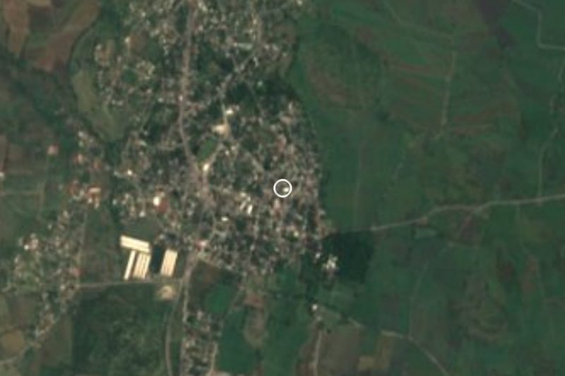

Near Parque Estatal Cerro de la Tortuga






Drive times by road from OpenStreetMap, without traffic. Times marked ~ are estimated from the straight-line distance.
Lists with Parque Estatal Cerro de la Tortuga
Nature Parks in Morelos · 8 Nature Parks near Tlaltizapán · 10 Nature Parks near Xochitepec · 15 Nature Parks near Cuernavaca · 18 Nature Parks near Cuautla · 13 Nature Parks near Tepoztlán · 19 Nature Parks near Taxco · 5 Nature Parks near Malinalco · 17Location from OpenStreetMap. Written by Puebloteca.