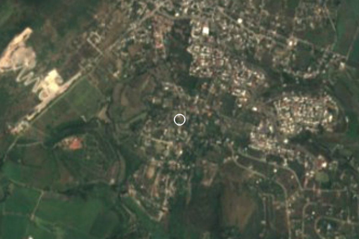
Village Jojutla, Morelos Municipality of Jojutla Southern Morelos
Ayudantía of Jojutla about 5 km west of the town centre, known for its Flag Day celebration every February.
From Cuernavaca: 40 min by car (39 km by road) How to get there ↓
Near here
See everything nearby ↓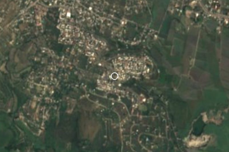
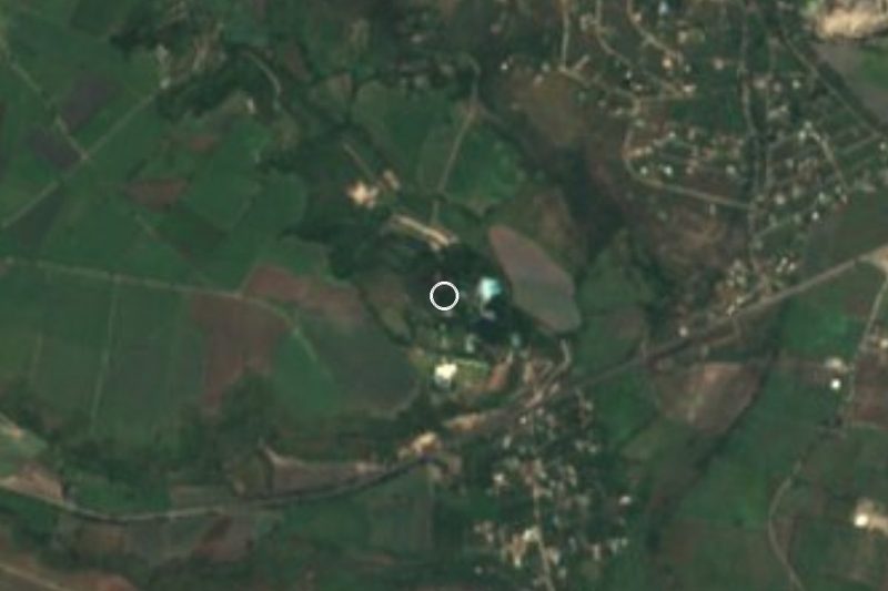

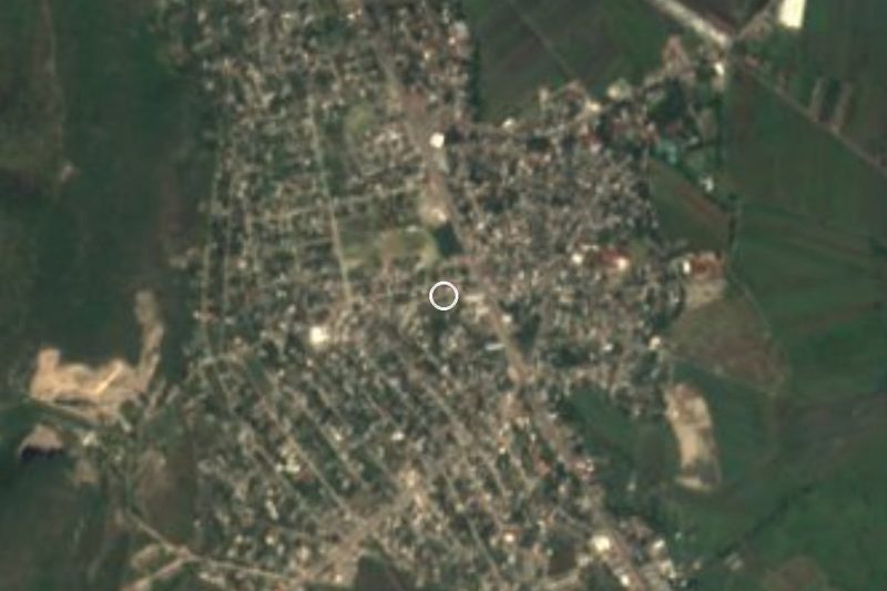
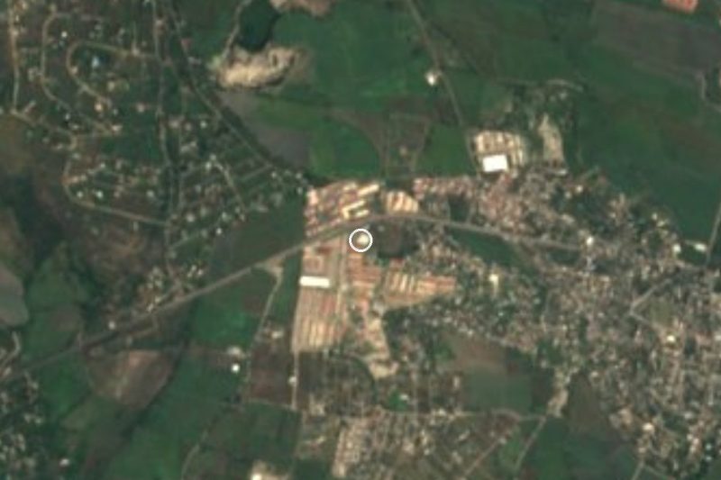

Plan your visit to Jicarero
Where to stay near Jicarero
Compare hotels, posadas and guest houses in Jicarero.
Tours to Jicarero
Day trips and guided outings from Tlaltizapán often include Jicarero; with a local guide you can get there without a car.
 Tours from Cuernavaca
3hr Cooking Class in Cuernavaca 8 Recipes and Bottomless Drinks
From US$59
How to get to Jicarero
- From Cuernavaca: about 40 min by road (~39 km)
- Nearest airport: Mexico City (MEX), 1 h 55 min by car to Tlaltizapán
Links open a partner site. We may earn a commission if you book, at no cost to you.
Tours from Cuernavaca, near Jicarero


Tours, prices and ratings from Viator, checked weekly. We may earn a commission if you book.
About Jicarero
Jojutla's municipal ayudantías (Alta Vista, Chisco, El Higuerón and others) include Jicarero, at 941 metres in the warm, low part of southern Morelos: the yearly mean is 24.3 C, April is the hottest month at 27.6 C on average, and more than 900 mm of rain falls each year, mostly around September.
The census tells a story of slow growth and a deep drop during the Revolution. In 1900 there were 138 people and by 1910 232; the 1921 census found only 25. Numbers came back gradually (212 in 1940, 365 in 1970) and doubled in the 1970s (746 in 1980). In 2020 INEGI recorded 1,300 residents, 695 women and 605 men, eighth among the municipality's 83 localities. A mobile phone is found in 86% of homes and internet in 47.5%.
The one date regional guides list for the village is Flag Day: Jicarero celebrates it with festivities from 24 to 28 February.
Pueblos de América puts Tlaltizapán de Zapata about 18 km away by road, roughly 25 minutes by car, and Jojutla 4.5 km to the east.
How to get to Jicarero
Drive from Cuernavaca: 40 min, 39 km
Jojutla is the must-pass point. Driving from Cuernavaca takes about 40 minutes on the México 95 road, says a regional guide. Pullman de Morelos buses leave roughly hourly from Cuernavaca (Casino and the main station) for Jojutla; from Mexico City the service starts at Taxqueña and takes around 2.5 hours.
Once in Jojutla, the road continues about 5 km west (roughly 10 to 15 minutes). A taxi is the practical choice; We found nothing on combis, so ask downtown which one goes to Jicarero. With your own car, use 18.6167, -99.2225.
Tlaltizapán, to the northeast, is about 18 km away (roughly 25 minutes).
Directions to Jicarero on Google Maps
Distances are in a straight line; the road is usually longer.
Links open a partner site. We may earn a commission if you book, at no cost to you.
From the nearest cities to Jicarero
- Cuernavaca · 39 km by road, 40 min
- Cuautla · 56 km by road, 55 min
- Taxco · 63 km by road, 1 h 10 min
Drive times by road from OpenStreetMap, without traffic or stops. Times marked ~ are estimated from the straight-line distance.
Before you go to Jicarero: hours, prices and tips
- Best season
- Flag Day festivities run 24 to 28 February. Guía Turística Morelos, Jojutla · checked Oct 2026
Hours and prices change, especially around holidays. Each fact links to where we checked it.
Visiting Jicarero: what to see and do
Walk the centre of the village and find the ayudantía office.
Come between 24 and 28 February for the Flag Day festivities.
Compare its weather with the highlands: the yearly mean here tops 24 C.
Continue to Jojutla, about 5 km east, and walk its main square.
Plan your trip
Places to stay in Jicarero
Compare hotels, posadas, and rentals in and around Jicarero.
Tours & activities
Day trips and guided outings from Tlaltizapán often include Jicarero; with a local guide you can get there without a car.
Rental cars
Pick up a car at MEX (Mexico City): about 1 h 55 min by road to Tlaltizapán, then 12 km more to Jicarero, on your own schedule.
Flights
The nearest airport with scheduled flights is Mexico City (MEX), about 1 h 55 min by road from Tlaltizapán, the base for Jicarero.
Mobile data
Signal can drop away from Tlaltizapán: download a map of the way to Jicarero before you set out, or carry an eSIM with data.
Links open a partner site. We may earn a commission if you book, at no cost to you.
When to go to Jicarero warm
Jicarero shares the climate of Tlaltizapán, 12 km away. The best months to visit are January, October, November, and December.
See the month-by-month climate of Tlaltizapán
Weather in Jicarero now and the next 7 days
Live forecast from Open-Meteo. Chance of rain is the day's highest.
The closest Pueblo Mágico: Tlaltizapán

Tlaltizapán is the Pueblo Mágico closest to Jicarero, with places to stay, food, and more to see.
Also close to
- Xochitepec · Morelos · 22 km away
- Taxco · Guerrero · 41 km away
- Tepoztlán · Morelos · 43 km away
- Tlayacapan · Morelos · 45 km away
- Malinalco · Estado de México · 47 km away
Closest to Jicarero
-
José María Morelos y Pavón · Village · 1 km away
-
Aqua Splash · Landmark · 2 km away
-
Los Venados · Village · 3 km away
-
San Nicolás Galeana · Village · 3 km away
-
Valle Dorado · Village · 3 km away
-
Jojutla de Juárez · Town · 4 km away
-
Marina del Sol · Landmark · 4 km away
-
Paradise Ski Club · Landmark · 4 km away


Near Jicarero
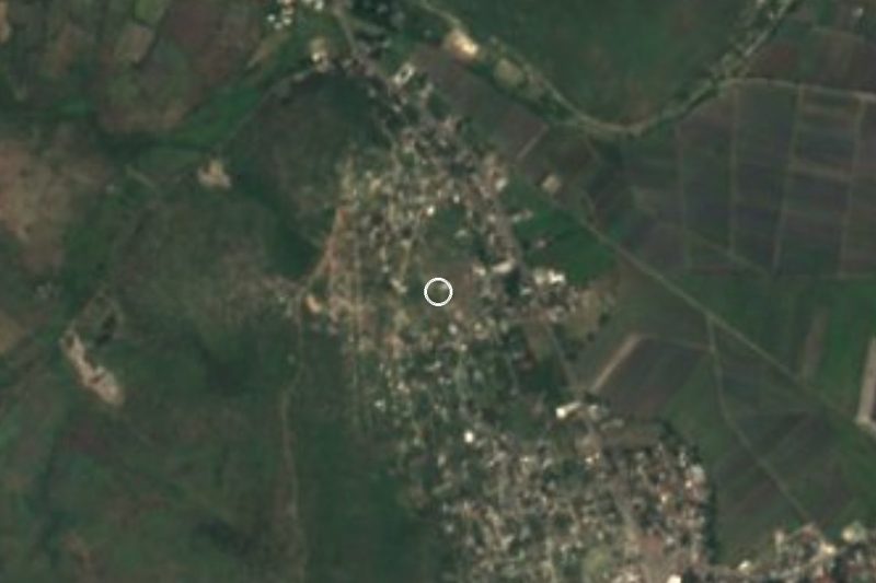






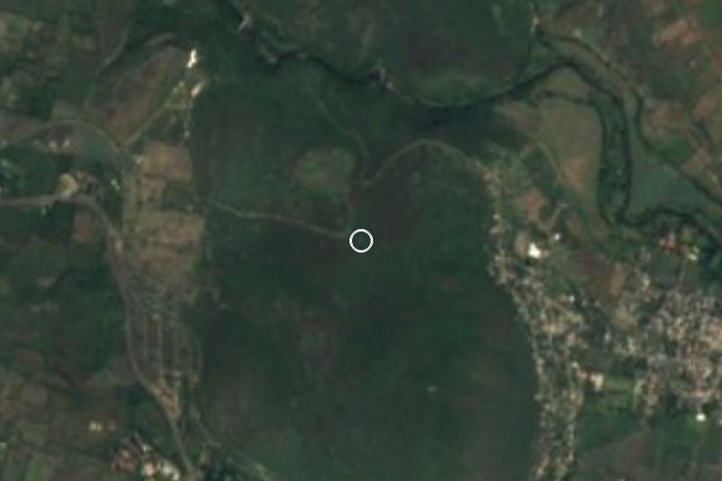


Drive times by road from OpenStreetMap, without traffic. Times marked ~ are estimated from the straight-line distance.
Location from OpenStreetMap. Written by Puebloteca.