Village Jojutla, Morelos Municipality of Jojutla Southern Morelos
Housing-estate settlement in Jojutla at 912 m, next to Tlatenchi and a short drive from Lake Tequesquitengo.
From Cuernavaca: 45 min by car (42 km by road) How to get there ↓
Near here
See everything nearby ↓
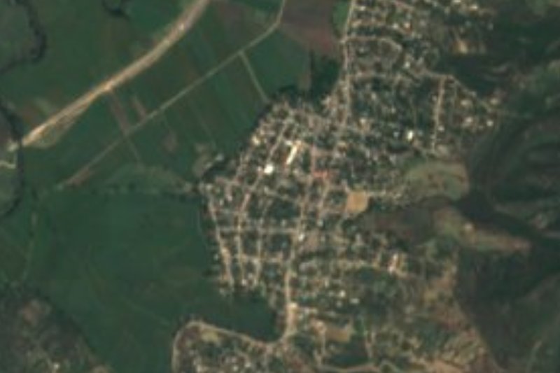
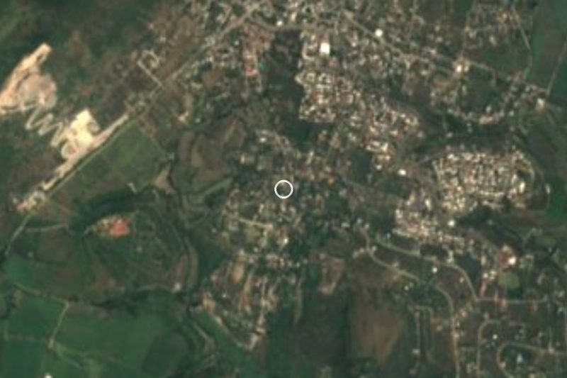

Plan your visit to Los Venados
Where to stay near Los Venados
Compare hotels, posadas and guest houses in Los Venados.
Tours to Los Venados
Day trips and guided outings from Tlaltizapán often include Los Venados; with a local guide you can get there without a car.
 Tours from Cuernavaca
3hr Cooking Class in Cuernavaca 8 Recipes and Bottomless Drinks
From US$59
How to get to Los Venados
- From Cuernavaca: about 45 min by road (~42 km)
- Nearest airport: Mexico City (MEX), 1 h 55 min by car to Tlaltizapán
Links open a partner site. We may earn a commission if you book, at no cost to you.
Tours from Cuernavaca, near Los Venados


Tours, prices and ratings from Viator, checked weekly. We may earn a commission if you book.
About Los Venados
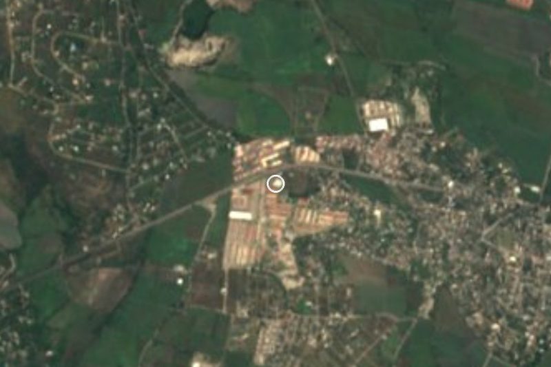
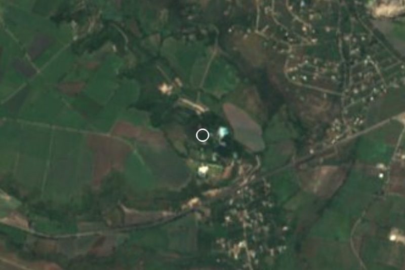
Los Venados began as a housing estate: the title of its Wikipedia article in other languages is Unidad Habitacional Los Venados I y II. It belongs to Jojutla, in southern Morelos, at about 912 m above sea level, and its postal code, 62907, is the same as Tlatenchi's. It is very recent: the 2000 census counted 6 people, 2010 reached 451 and 2020 reached 1,010.
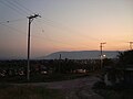
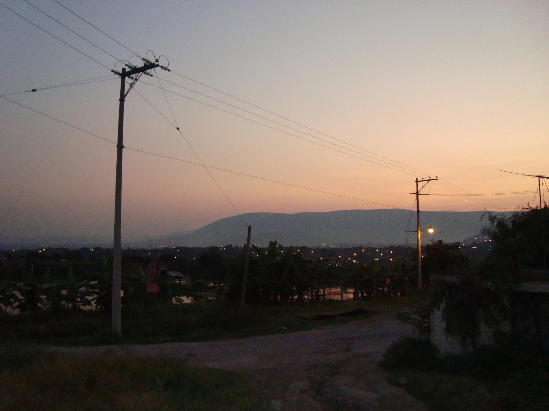
It sits right against Tlatenchi, an ayudantia of Jojutla with a hot, humid climate, low deciduous forest, iguanas, herons and hummingbirds. Open maps show the Bonanza subdivision, Valle Dorado and the Buenos Aires colonia around it, streets named for flowers (Nardos, Violetas, Alcatraz, Gardenias) and the Carretera Ruben Jaramillo. To the east rises the Cerro de Jojutla, also called Cerro del Higuerón, and a 2008 photograph taken from Los Venados shows the valley and the city at dusk.
What matters to a visitor is the neighbourhood. Lake Tequesquitengo lies to the west: it fills a collapse basin more than 130 m deep, measures about 4.2 by 2.5 km and is known for water skiing; some 6 m under the surface sits the dome of the church of the old village of San Juan Bautista Tequesquitengo, flooded in the mid-19th century. Jojutla, with 57,682 residents in 2020, is the municipal seat and was the Morelos city hit hardest by the 19 September 2017 earthquake. In Tlatenchi, 8 September brings the Tierra Santa festival.
Los Venados itself has no documented monuments or festivals; it is a quiet residential area that works as a base for the lake and for Jojutla.
How to get to Los Venados
Drive from Cuernavaca: 45 min, 42 km
Los Venados is in southern Morelos, in the municipality of Jojutla, right against Tlatenchi. From Jojutla it is roughly 5 to 10 minutes by car or combi; Tlaltizapan is about 12 km away in a straight line. From Cuernavaca it is about 45 km by road to Jojutla (per Wikipedia), and about 37 km in a straight line to Los Venados; by car allow 50 minutes to an hour, approx. By bus, Pullman de Morelos runs hourly from the Cuernavaca terminal (Casino station) to Jojutla in about 1 hour (Rome2Rio); Wikivoyage mentions more frequent departures, so check pullman.mx. From Mexico City, take a bus to Cuernavaca from Terminal Sur (Taxqueña) and change there. From Jojutla to Tlatenchi, Wikipedia notes route 3 combis linking Panchimalco, Jojutla and Tequesquitengo that serve Tlatenchi. The last stretch is along the Carretera Ruben Jaramillo.
Directions to Los Venados on Google Maps
Distances are in a straight line; the road is usually longer.
Links open a partner site. We may earn a commission if you book, at no cost to you.
From the nearest cities to Los Venados
- Cuernavaca · 42 km by road, 45 min
- Cuautla · 53 km by road, 55 min
- Taxco · 66 km by road, 1 h 15 min
Drive times by road from OpenStreetMap, without traffic or stops. Times marked ~ are estimated from the straight-line distance.
Visiting Los Venados: what to see and do
Look in on Lake Tequesquitengo to the west: water skiing and the old church dome under the surface.
Walk through neighbouring Tlatenchi and look up at the Cerro del Higuerón.
Drop down to Jojutla, the municipal seat, for its market and nearby balnearios.
Take in the Jojutla valley at dusk from Los Venados.
Plan your trip
Places to stay in Los Venados
Compare hotels, posadas, and rentals in and around Los Venados.
Tours & activities
Day trips and guided outings from Tlaltizapán often include Los Venados; with a local guide you can get there without a car.
Rental cars
Pick up a car at MEX (Mexico City): about 1 h 55 min by road to Tlaltizapán, then 12 km more to Los Venados, on your own schedule.
Flights
The nearest airport with scheduled flights is Mexico City (MEX), about 1 h 55 min by road from Tlaltizapán, the base for Los Venados.
Mobile data
Signal can drop away from Tlaltizapán: download a map of the way to Los Venados before you set out, or carry an eSIM with data.
Links open a partner site. We may earn a commission if you book, at no cost to you.
When to go to Los Venados warm
Los Venados shares the climate of Tlaltizapán, 12 km away. The best months to visit are January, October, November, and December.
See the month-by-month climate of Tlaltizapán
Weather in Los Venados now and the next 7 days
Live forecast from Open-Meteo. Chance of rain is the day's highest.
The closest Pueblo Mágico: Tlaltizapán

Tlaltizapán is the Pueblo Mágico closest to Los Venados, with places to stay, food, and more to see.
Also close to
- Xochitepec · Morelos · 25 km away
- Taxco · Guerrero · 43 km away
- Tepoztlán · Morelos · 45 km away
- Tlayacapan · Morelos · 46 km away
- Malinalco · Estado de México · 51 km away
Closest to Los Venados
-
Tlatenchi · Village · 1 km away
-
Valle Dorado · Village · 1 km away
-
Aqua Splash · Landmark · 2 km away
-
Higuerón · Village · 3 km away
-
Jicarero · Village · 3 km away
-
Jojutla de Juárez · Town · 3 km away
-
José María Morelos y Pavón · Village · 3 km away
-
Parroquia de San Miguel Arcángel · Landmark · 3 km away
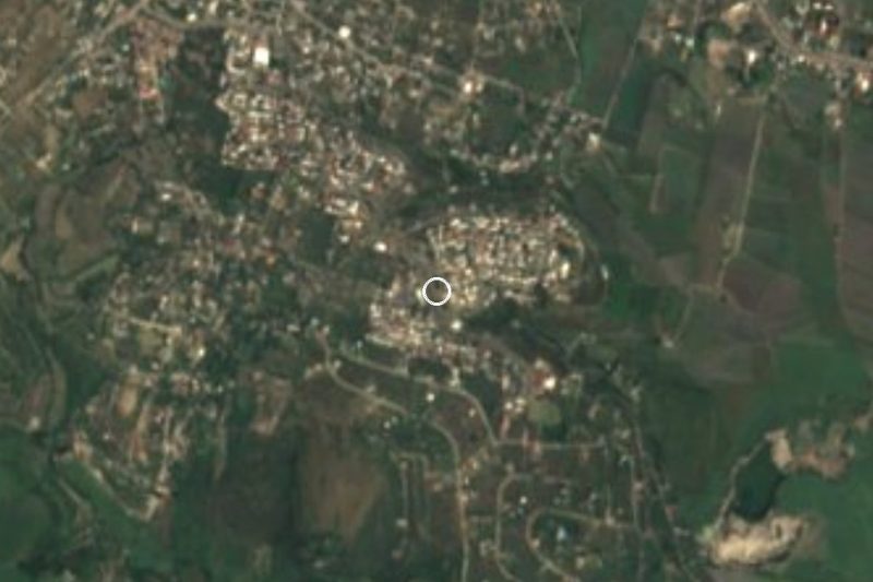

Near Los Venados
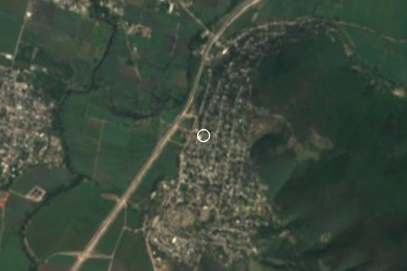



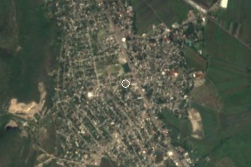
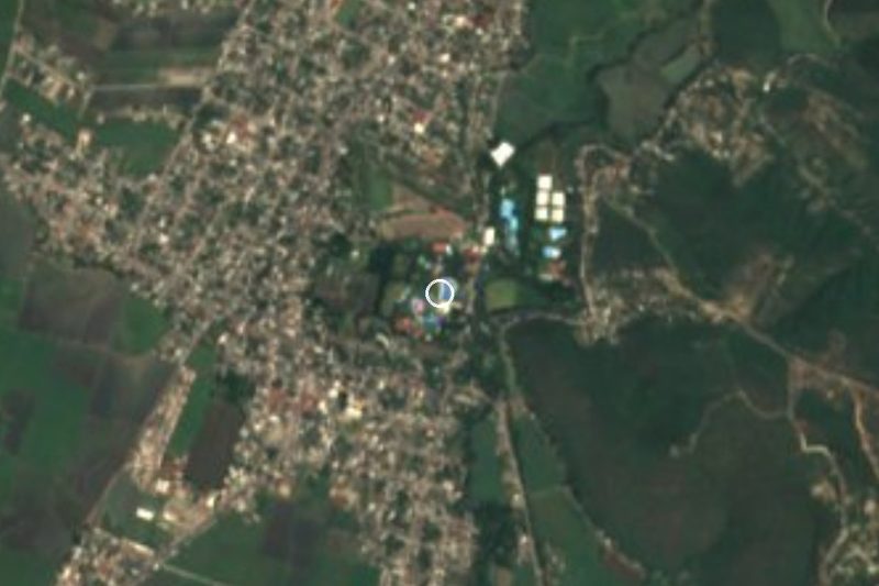
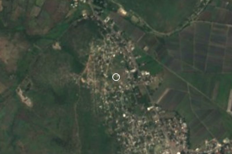


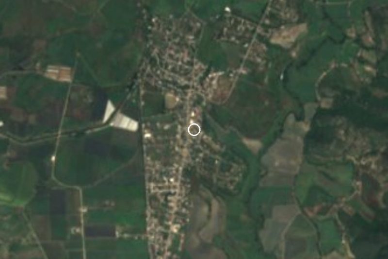
Drive times by road from OpenStreetMap, without traffic. Times marked ~ are estimated from the straight-line distance.
Location from OpenStreetMap. Written by Puebloteca.