Landmark Tlaquiltenango, Morelos Municipality of Tlaquiltenango Southern Morelos
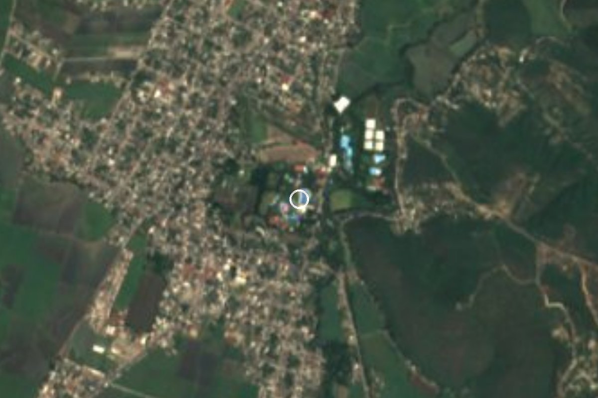
Water park at Gabriel Tepepa on the Yautepec river, with slides, a wave pool and the cylindrical tower that gave it its name.
From Cuernavaca: 45 min by car (39 km by road) How to get there ↓
Near here
See everything nearby ↓




Plan your visit to El Rollo
Where to stay near El Rollo
Compare hotels, posadas and guest houses in El Rollo.
Tours to El Rollo
Look for tours of the area around Tlaltizapán that stop at El Rollo.
How to get to El Rollo
- From Cuernavaca: about 45 min by road (~39 km)
- Nearest airport: Mexico City (MEX), 1 h 55 min by car to Tlaltizapán
Links open a partner site. We may earn a commission if you book, at no cost to you.
About El Rollo
El Rollo is a water park on the bank of the Yautepec river in Gabriel Tepepa, in the municipality of Tlaquiltenango, a few kilometres northeast of Jojutla. According to El Financiero, it began in the mid-1950s: in 1954 Ignacio Rodríguez Saucedo started buying land by the river, and the place first worked as a simple swimming spot with one big pool. In 1979 it was renamed and became one of the country's first water parks; the slides arrived in the 1980s and 1990s, its most popular years.
The name comes from a tower. According to the park's own website, Hernán Cortés ordered a cylindrical lookout tower built on the riverbank, about 40 metres tall and made mostly of stone; abandoned over time, it was nicknamed El Rollo by locals for its shape. That is the park's own account, so read it as local tradition rather than verified history.
Today there are 20 pools, a wave river, a lazy river, a children's island and slides for every nerve level: The Abyss, Aqualoop, Kamikaze, Las Boas, Racer, Mamut and a Flowrider for surfing. It opens every day of the year, 9:00 to 18:00. Weekends and holidays get crowded and Wikivoyage warns of long lines, so arrive early. Prices vary by season and day; the official site lists a full ticket at 650 pesos.
How to get to El Rollo
Drive from Cuernavaca: 45 min, 39 km
The park is at Ribera del Río Yautepec s/n, Gabriel Tepepa, Tlaquiltenango, about 2 km northeast of central Jojutla, off state highway 2 (Wikivoyage). From Jojutla it is a few minutes by car or taxi. Tlaltizapán, the nearest pueblo in our guide, is about 6 km away in a straight line, a few minutes by road, approx..
To reach Jojutla, Pullman de Morelos runs from Cuernavaca about every 20 minutes (around 30 minutes, fares from 50 pesos, per Wikivoyage) and from Mexico City's Terminal Sur (Taxqueña); in Jojutla take a taxi to the park. El Rollo also sells tickets with round-trip transport (RTI, 670 pesos) or with a meal (RTP, 750 pesos) on its official site, so check there for departures. The location opens in Waze and Google Maps from the same page. From Cuautla it is about 31 km in a straight line, and by road it is noticeably longer.
Directions to El Rollo on Google Maps
Distances are in a straight line; the road is usually longer.
Links open a partner site. We may earn a commission if you book, at no cost to you.
From the nearest cities to El Rollo
- Cuernavaca · 39 km by road, 45 min
- Cuautla · 43 km by road, 50 min
- Taxco · 67 km by road, 1 h 15 min
Drive times by road from OpenStreetMap, without traffic or stops. Times marked ~ are estimated from the straight-line distance.
Before you go to El Rollo: hours, prices and tips
- Hours
- Open every day of the year, 9:00 to 18:00. El Rollo official site · checked Oct 2026
- Entry
- Full ticket 650 pesos (adults and children over 1.20 m); RTI with transport 670; RTP with transport and meal 750. Prices change by season. El Rollo official site · checked Oct 2026
- Best time of day
- Arrive early on weekends: long lines are common. Wikivoyage, Jojutla · checked Oct 2026
- Rules
- Wait one hour after eating before swimming; children must always be accompanied by an adult. El Rollo official site · checked Oct 2026
Hours and prices change, especially around holidays. Each fact links to where we checked it.
Visiting El Rollo: what to see and do
Try The Abyss and Aqualoop if you want free-fall slides.
Swim in the wave river and have a go on the Flowrider.
Ride Las Boas, the themed slide for the whole family.
Take small children to the Children's Island and the Lazy River.
Ask about the cylindrical tower that gave the park its name.
Plan your trip
Places to stay in El Rollo
Compare hotels, posadas, and rentals in and around El Rollo.
Tours & activities
Look for tours of the area around Tlaltizapán that stop at El Rollo.
Rental cars
Pick up a car at MEX (Mexico City): about 1 h 55 min by road to Tlaltizapán, then 6 km more to El Rollo, on your own schedule.
Flights
The nearest airport with scheduled flights is Mexico City (MEX), about 1 h 55 min by road from Tlaltizapán, the base for El Rollo.
Mobile data
Signal can drop away from Tlaltizapán: download a map of the way to El Rollo before you set out, or carry an eSIM with data.
Links open a partner site. We may earn a commission if you book, at no cost to you.
When to go to El Rollo warm
El Rollo shares the climate of Tlaltizapán, 6 km away. The best months to visit are January, October, November, and December.
See the month-by-month climate of Tlaltizapán
Weather in El Rollo now and the next 7 days
Live forecast from Open-Meteo. Chance of rain is the day's highest.
The closest Pueblo Mágico: Tlaltizapán

Tlaltizapán is the Pueblo Mágico closest to El Rollo, with places to stay, food, and more to see.
Also close to
- Xochitepec · Morelos · 24 km away
- Tlayacapan · Morelos · 40 km away
- Tepoztlán · Morelos · 40 km away
- Taxco · Guerrero · 48 km away
- Malinalco · Estado de México · 50 km away
Closest to El Rollo
-
Tlaquiltenango · Town · 1 km away
-
Alfredo V. Bonfil · Village · 2 km away
-
Balneario El Paraíso · Landmark · 3 km away
-
Jojutla de Juárez · Town · 3 km away
-
Parroquia de San Miguel Arcángel · Landmark · 3 km away
-
Villas de Jojutla · Village · 3 km away
-
Estadio Agustín Coruco Díaz · Landmark · 4 km away
-
Pedro Amaro · Village · 4 km away

Near El Rollo


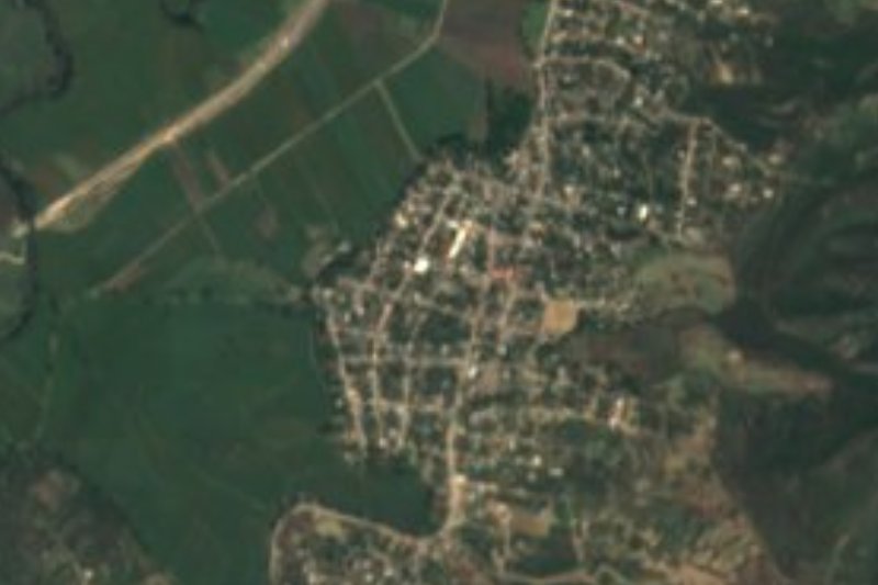
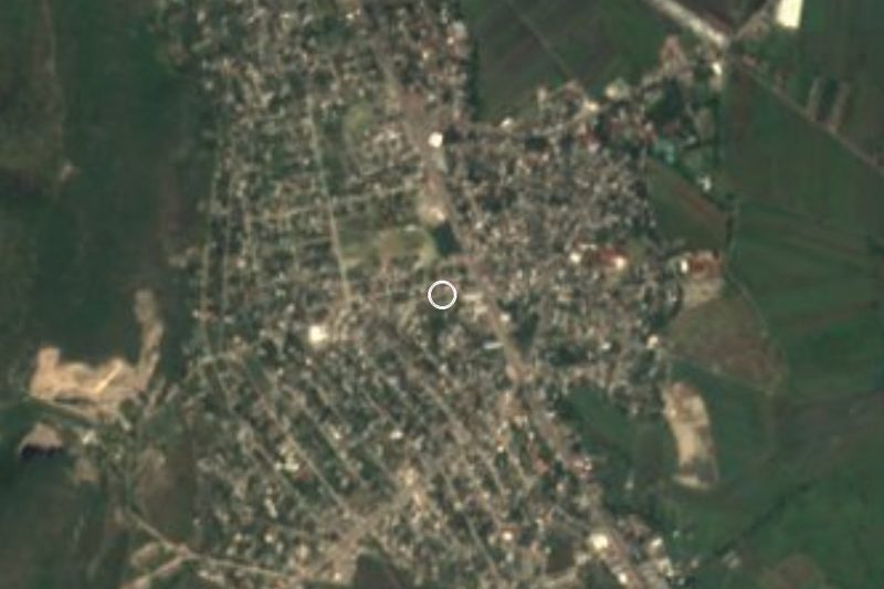

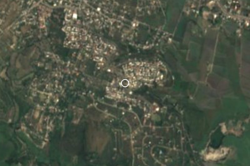
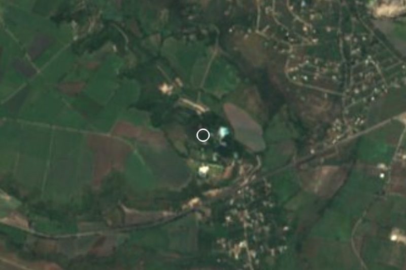
Drive times by road from OpenStreetMap, without traffic. Times marked ~ are estimated from the straight-line distance.
Location from OpenStreetMap. Written by Puebloteca.