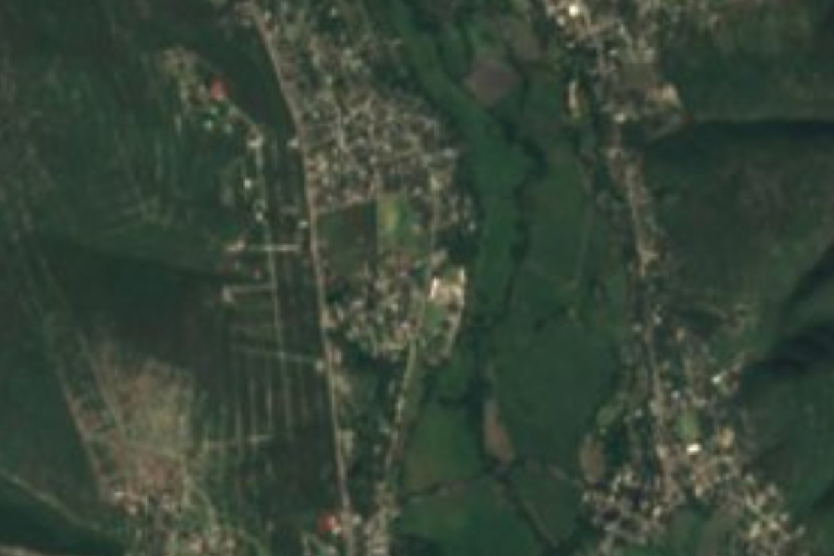
Village Tlaltizapán de Zapata, Morelos Municipality of Tlaltizapán de Zapata Southern Morelos
Tlaltizapán de Zapata locality where families make baskets, ladles and birdcages; 4 km from Tlaltizapán.
From Cuautla: 40 min by car (34 km by road) How to get there ↓
Near here
See everything nearby ↓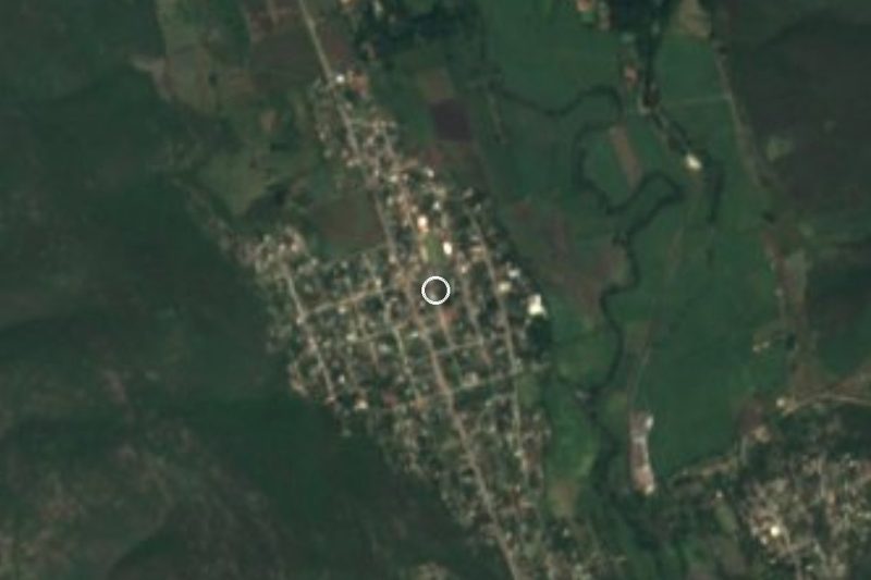
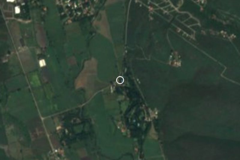


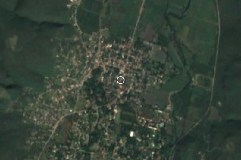
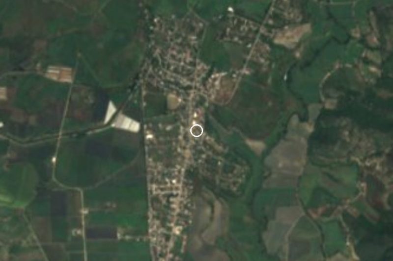
Plan your visit to Palo Prieto
Where to stay near Palo Prieto
Compare hotels, posadas and guest houses in Palo Prieto.
Tours to Palo Prieto
Day trips and guided outings from Tlaltizapán often include Palo Prieto; with a local guide you can get there without a car.
 Tours from Cuernavaca
3hr Cooking Class in Cuernavaca 8 Recipes and Bottomless Drinks
From US$59
How to get to Palo Prieto
- From Cuautla: about 40 min by road (~34 km)
- Nearest airport: Mexico City (MEX), 1 h 55 min by car to Tlaltizapán
Links open a partner site. We may earn a commission if you book, at no cost to you.
Tours from Cuernavaca, near Palo Prieto


Tours, prices and ratings from Viator, checked weekly. We may earn a commission if you book.
About Palo Prieto
Palo Prieto is a locality in the municipality of Tlaltizapán de Zapata, in southern Morelos, at about 958 metres above sea level and with 1,308 residents in 2020. INEGI censuses give 1,061 people in 2000 and 1,012 in 2010, so it lost population in the first decade of the century and regained it, with a notable jump, in the second.
The most concrete thing a source says about daily life is a trade: English Wikipedia's Tlaltizapán article notes that in Palo Prieto families make baskets, ladles and birdcages. The sources do not say what they are made of or where they are sold, so ask in the village.
The municipality's best-known history sits in its seat: Tlaltizapán was the headquarters of Emiliano Zapata's Liberation Army of the South. That visit is about 4 km from Palo Prieto.
How to get to Palo Prieto
Drive from Cuautla: 40 min, 34 km
Palo Prieto is about 4 km from Tlaltizapán, the municipal seat (about 5 minutes by car, an estimate), and some 23 km in a straight line from Cuautla (about 25 minutes). From Cuernavaca go down the Autopista del Sol (95D) to the Tlaltizapán exit and continue on a local road to the village; we could not find the exact number or condition of that local road published, so confirm the turn-off in Tlaltizapán. From Cuautla you can head south via Yautepec and Tlaltizapán. We found no colectivo line names or schedules. The nearest pueblo on our list is Tlaltizapán itself.
Directions to Palo Prieto on Google Maps
Distances are in a straight line; the road is usually longer.
Links open a partner site. We may earn a commission if you book, at no cost to you.
From the nearest cities to Palo Prieto
- Cuautla · 34 km by road, 40 min
- Cuernavaca · 40 km by road, 45 min
- Taxco · 81 km by road, 1 h 20 min
Drive times by road from OpenStreetMap, without traffic or stops. Times marked ~ are estimated from the straight-line distance.
Visiting Palo Prieto: what to see and do
Baskets, ladles and birdcages made by the village's families
Cuartel of the Liberation Army of the South, in Tlaltizapán (about 4 km)
Plan your trip
Places to stay in Palo Prieto
Compare hotels, posadas, and rentals in and around Palo Prieto.
Tours & activities
Day trips and guided outings from Tlaltizapán often include Palo Prieto; with a local guide you can get there without a car.
Rental cars
Pick up a car at MEX (Mexico City): about 1 h 55 min by road to Tlaltizapán, then 4 km more to Palo Prieto, on your own schedule.
Flights
The nearest airport with scheduled flights is Mexico City (MEX), about 1 h 55 min by road from Tlaltizapán, the base for Palo Prieto.
Mobile data
Signal can drop away from Tlaltizapán: download a map of the way to Palo Prieto before you set out, or carry an eSIM with data.
Links open a partner site. We may earn a commission if you book, at no cost to you.
When to go to Palo Prieto warm
Palo Prieto shares the climate of Tlaltizapán, 4 km away. The best months to visit are January, October, November, and December.
See the month-by-month climate of Tlaltizapán
Weather in Palo Prieto now and the next 7 days
Live forecast from Open-Meteo. Chance of rain is the day's highest.
The closest Pueblo Mágico: Tlaltizapán

Tlaltizapán is the Pueblo Mágico closest to Palo Prieto, with places to stay, food, and more to see.
Also close to
- Xochitepec · Morelos · 23 km away
- Tlayacapan · Morelos · 31 km away
- Tepoztlán · Morelos · 31 km away
- Malinalco · Estado de México · 49 km away
- Taxco · Guerrero · 54 km away
Closest to Palo Prieto
-
Bonifacio García · Village · 2 km away
-
Balneario Santa Isabel · Hot springs · 3 km away
-
Las Estacas · Nature reserve · 3 km away
-
Temimilcingo · Village · 6 km away
-
Ticumán · Village · 6 km away
-
Alfredo V. Bonfil · Village · 7 km away
-
Santa Rosa Treinta · Village · 7 km away
-
El Rollo · Landmark · 9 km away
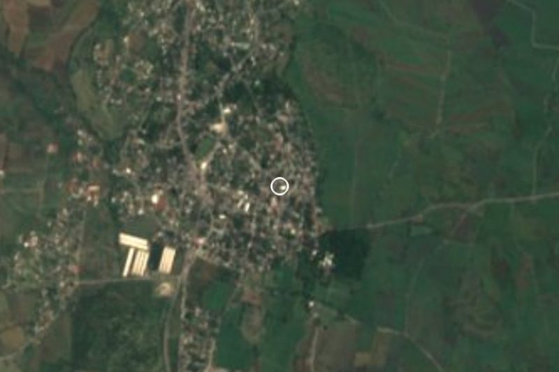
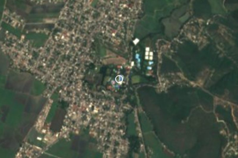
Near Palo Prieto







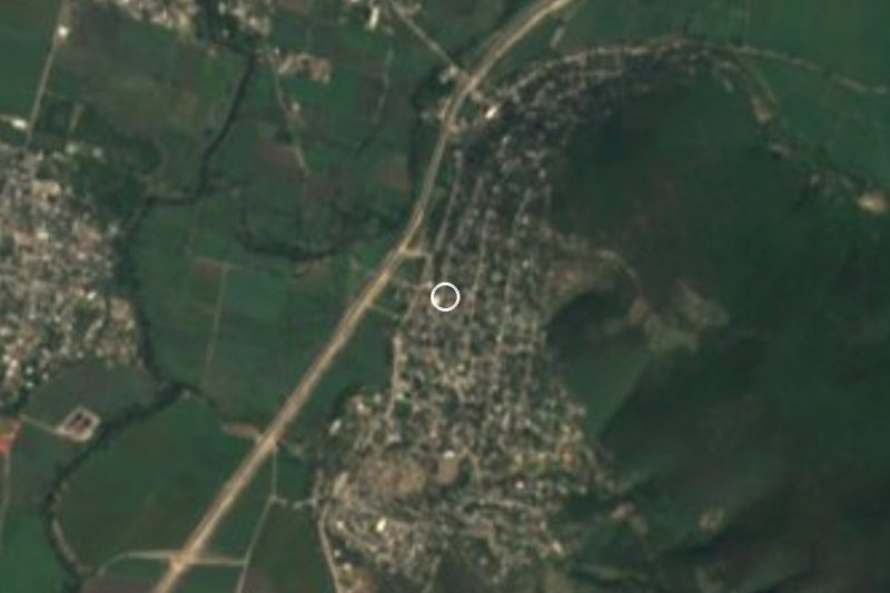

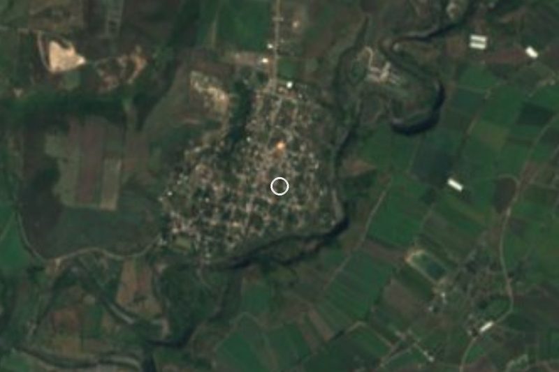
Drive times by road from OpenStreetMap, without traffic. Times marked ~ are estimated from the straight-line distance.
Location from OpenStreetMap. Written by Puebloteca.