Village Jojutla, Morelos Municipality of Jojutla Southern Morelos
Cattle-and-crop village on Jojutla's outskirts, one of the municipality's four original pueblos; its fiesta is on 8 September.
From Cuernavaca: 40 min by car (42 km by road) How to get there ↓
Near here
See everything nearby ↓



Plan your visit to Tlatenchi
Where to stay near Tlatenchi
Compare hotels, posadas and guest houses in Tlatenchi.
Tours to Tlatenchi
Day trips and guided outings from Tlaltizapán often include Tlatenchi; with a local guide you can get there without a car.
 Tours from Cuernavaca
3hr Cooking Class in Cuernavaca 8 Recipes and Bottomless Drinks
From US$59
How to get to Tlatenchi
- From Cuernavaca: about 40 min by road (~42 km)
- Nearest airport: Mexico City (MEX), 1 h 55 min by car to Tlaltizapán
Links open a partner site. We may earn a commission if you book, at no cost to you.
Tours from Cuernavaca, near Tlatenchi


Tours, prices and ratings from Viator, checked weekly. We may earn a commission if you book.
About Tlatenchi
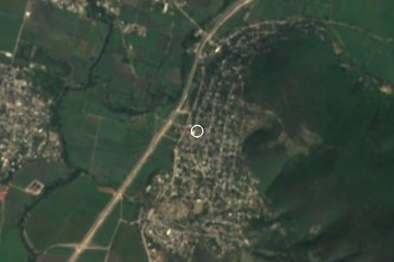
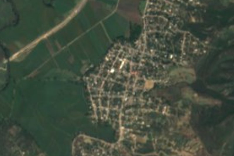
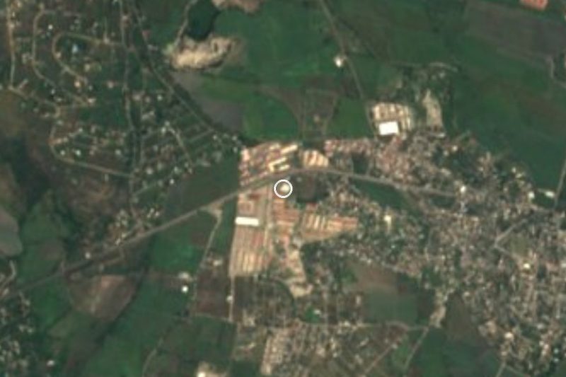
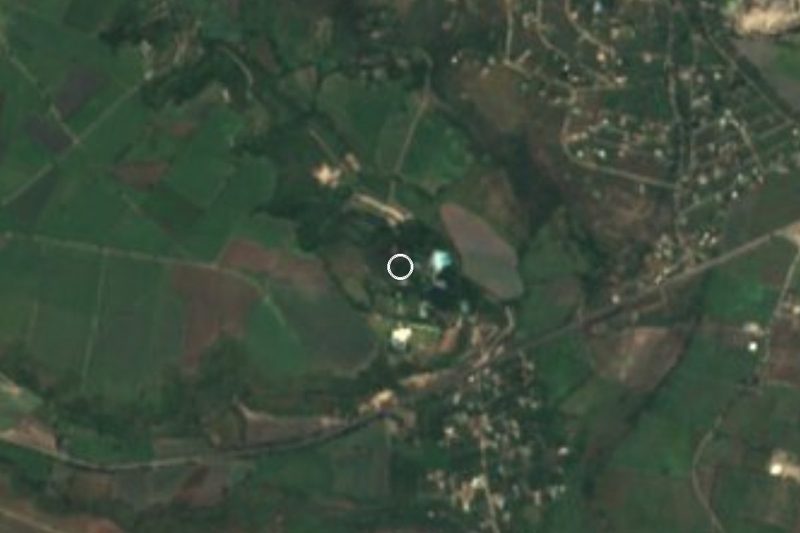
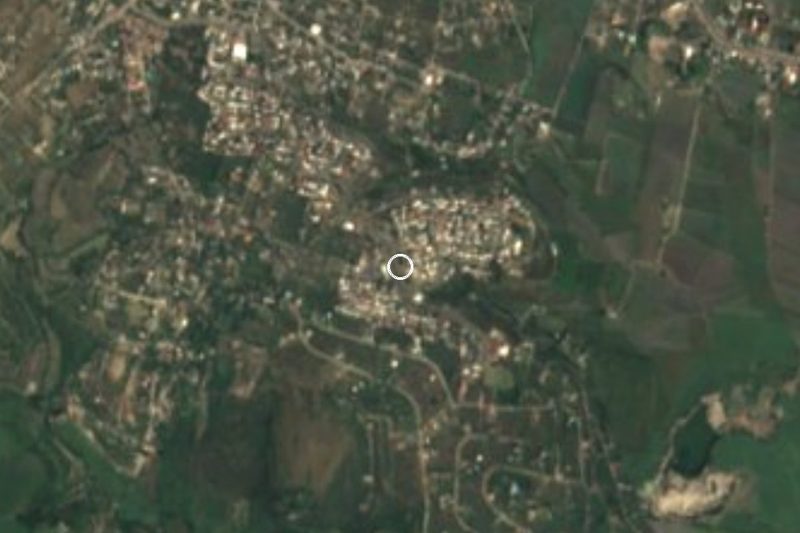
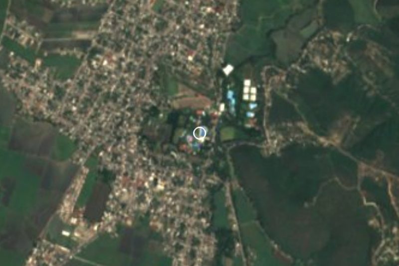
Tlatenchi, or Tlatentzin in Nahuatl, lies at about 900 metres on the outskirts of Jojutla, to which it belongs as an ayudantía. It borders Panchimalco to the north, Tequesquitengo to the west, Tehuixtla to the southwest and the Cerro de Jojutla, or Cerro del Higuerón, to the east. Depending on the source, it has between 4,800 and 5,800 residents. When the municipality of Jojutla was formed on 29 March 1847, Tlatenchi was one of its four original pueblos, with Panchimalco, Tequesquitengo and Chisco; fragments of obsidian and pottery have turned up in its chapel atrium, though nobody has studied the site in depth.
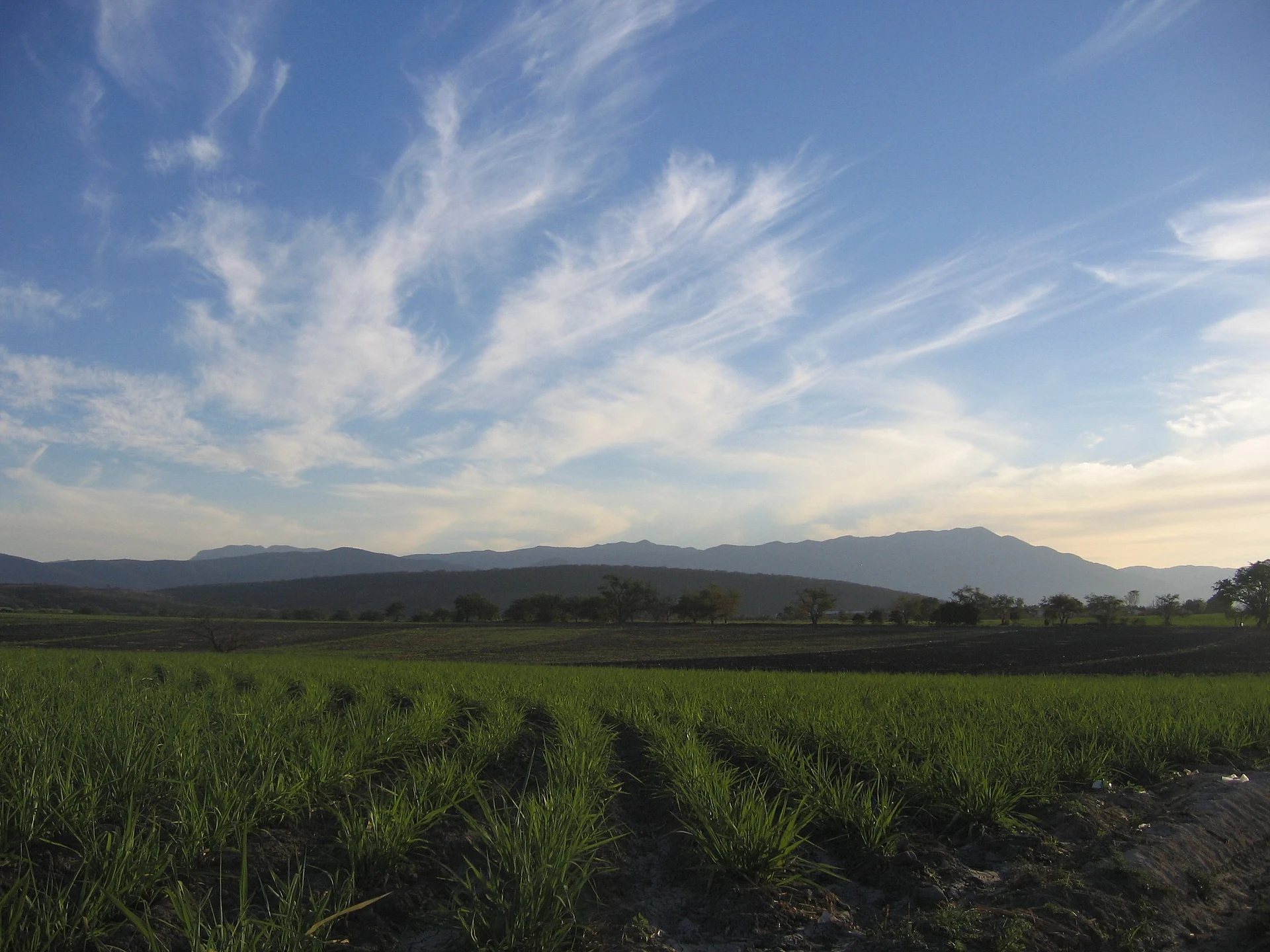
The climate is hot and humid most of the year and the vegetation is tropical dry forest, with iguanas, skunks, magpies, vultures, herons, hares, hummingbirds and parakeets among the wildlife. The economy is rural: beef and dairy cattle, horses used for transport and racing, crops, and pig and chicken farms on the outskirts. Fishing was given up because of pollution in nearby rivers, and trade has grown in recent years. You can still see people getting around on horseback, by ox or on mules.
The main fiesta is on 8 September, called Tierra Santa, in the village centre. Within the village people get around on the route 3 combis, which serve Panchimalco, Jojutla and Tequesquitengo.
How to get to Tlatenchi
Drive from Cuernavaca: 40 min, 42 km
It is 2.5 km from Jojutla by road (5 minutes by car), reached along Avenida Emiliano Zapata and Avenida Morelos. From Cuernavaca it is about 42 km and 43 minutes: motorway 95D toward Acapulco to Alpuyeca, state road MOR 21 (Alpuyeca–Jojutla) and finally the Tlatenchi–Jojutla bypass and the Rubén Jaramillo road into the village streets.
To reach Jojutla, Pullman de Morelos and Estrella Roja Cuautla (TER) run buses from the Taxqueña terminal; from there, the route 3 combis link Jojutla with Tlatenchi, Panchimalco and Tequesquitengo. We found no published timetable for that route, so ask in central Jojutla.
Directions to Tlatenchi on Google Maps
Distances are in a straight line; the road is usually longer.
Links open a partner site. We may earn a commission if you book, at no cost to you.
From the nearest cities to Tlatenchi
- Cuernavaca · 42 km by road, 40 min
- Cuautla · 51 km by road, 50 min
- Taxco · 66 km by road, 1 h 10 min
Drive times by road from OpenStreetMap, without traffic or stops. Times marked ~ are estimated from the straight-line distance.
Before you go to Tlatenchi: hours, prices and tips
- Best season
- 8 September is the village fiesta (Tierra Santa), held in the centre of Tlatenchi. Wikipedia (es): Jojutla de Juárez · checked Oct 2026
Hours and prices change, especially around holidays. Each fact links to where we checked it.
Visiting Tlatenchi: what to see and do
The village chapel, with obsidian and pottery found in its atrium
The Tierra Santa fiesta, on 8 September
The fields around the village, between Cerro del Higuerón and Panchimalco
Surrounding tropical dry forest, with iguanas, herons and hummingbirds
Plan your trip
Places to stay in Tlatenchi
Compare hotels, posadas, and rentals in and around Tlatenchi.
Tours & activities
Day trips and guided outings from Tlaltizapán often include Tlatenchi; with a local guide you can get there without a car.
Rental cars
Pick up a car at MEX (Mexico City): about 1 h 55 min by road to Tlaltizapán, then 11 km more to Tlatenchi, on your own schedule.
Flights
The nearest airport with scheduled flights is Mexico City (MEX), about 1 h 55 min by road from Tlaltizapán, the base for Tlatenchi.
Mobile data
Signal can drop away from Tlaltizapán: download a map of the way to Tlatenchi before you set out, or carry an eSIM with data.
Links open a partner site. We may earn a commission if you book, at no cost to you.
When to go to Tlatenchi warm
Tlatenchi shares the climate of Tlaltizapán, 11 km away. The best months to visit are January, October, November, and December.
See the month-by-month climate of Tlaltizapán
Weather in Tlatenchi now and the next 7 days
Live forecast from Open-Meteo. Chance of rain is the day's highest.
The closest Pueblo Mágico: Tlaltizapán

Tlaltizapán is the Pueblo Mágico closest to Tlatenchi, with places to stay, food, and more to see.
Also close to
- Xochitepec · Morelos · 26 km away
- Tepoztlán · Morelos · 44 km away
- Taxco · Guerrero · 44 km away
- Tlayacapan · Morelos · 45 km away
- Malinalco · Estado de México · 51 km away
Closest to Tlatenchi
-
Los Venados · Village · 1 km away
-
Pedro Amaro · Village · 1 km away
-
Balneario El Paraíso · Landmark · 2 km away
-
Higuerón · Village · 2 km away
-
Jojutla de Juárez · Town · 2 km away
-
Parroquia de San Miguel Arcángel · Landmark · 2 km away
-
Valle Dorado · Village · 2 km away
-
Aqua Splash · Landmark · 3 km away
Near Tlatenchi


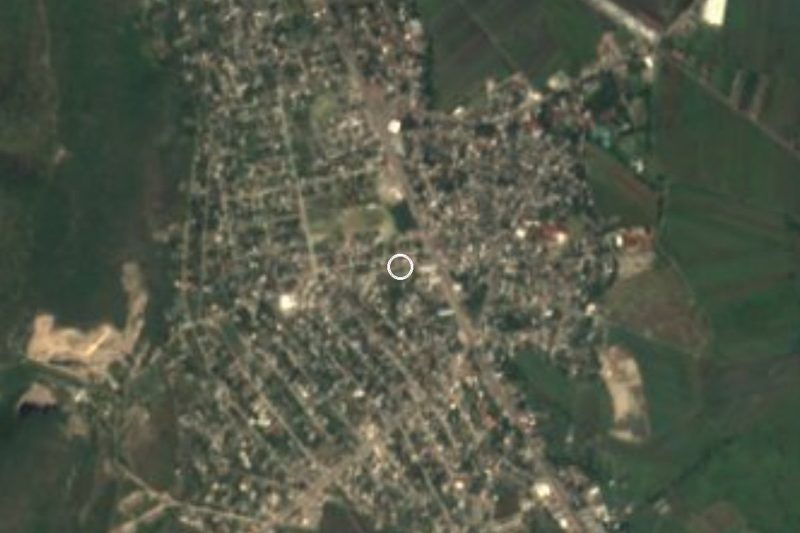

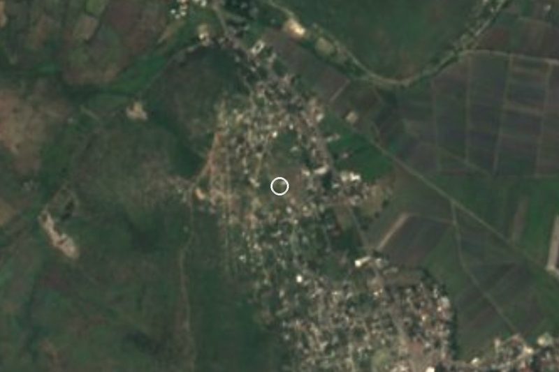

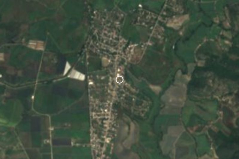
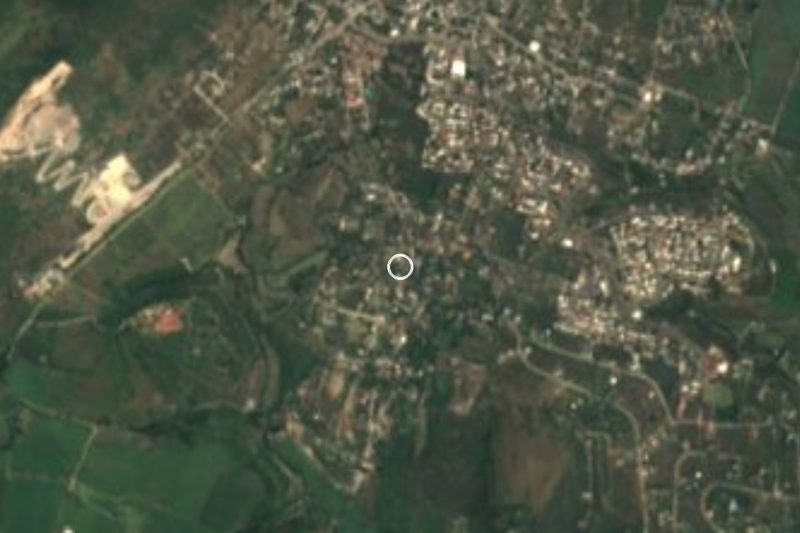
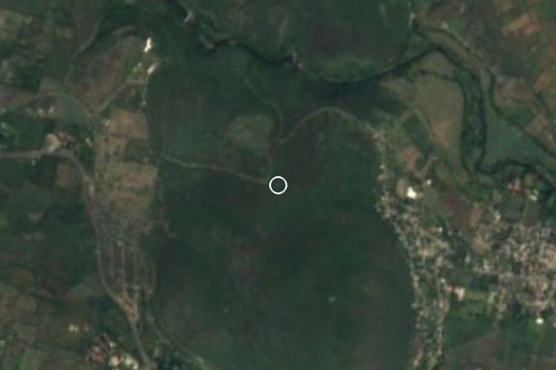

Drive times by road from OpenStreetMap, without traffic. Times marked ~ are estimated from the straight-line distance.
Location from OpenStreetMap. Written by Puebloteca.