Village Jojutla, Morelos Municipality of Jojutla Southern Morelos
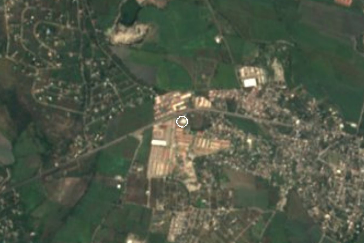
Small settlement on the western edge of Jojutla, about 2.5 km from the town centre, in the rice and sugarcane country of southern Morelos.
From Cuernavaca: 40 min by car (41 km by road) How to get there ↓
Near here
See everything nearby ↓


Plan your visit to Valle Dorado
Where to stay near Valle Dorado
Compare hotels, posadas and guest houses in Valle Dorado.
Tours to Valle Dorado
Day trips and guided outings from Tlaltizapán often include Valle Dorado; with a local guide you can get there without a car.
 Tours from Cuernavaca
3hr Cooking Class in Cuernavaca 8 Recipes and Bottomless Drinks
From US$59
How to get to Valle Dorado
- From Cuernavaca: about 40 min by road (~41 km)
- Nearest airport: Mexico City (MEX), 1 h 55 min by car to Tlaltizapán
Links open a partner site. We may earn a commission if you book, at no cost to you.
Tours from Cuernavaca, near Valle Dorado


Tours, prices and ratings from Viator, checked weekly. We may earn a commission if you book.
About Valle Dorado
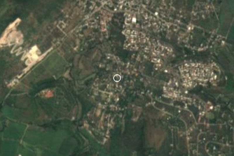
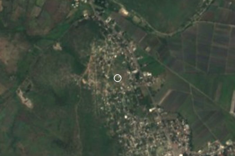
Valle Dorado sits on the western edge of Jojutla, roughly 2.5 km in a straight line from the city centre, on the hot lowland floor of southern Morelos. OpenStreetMap lists it as a small settlement of houses and neighbourhood streets with a few roads tying it to the rest of the municipality; nearby names on the map include Tlatenchi, El Canalito, the Venados housing estate and the Bonanza subdivision. It has no sights of its own, and it is better to say so plainly: you visit it as part of Jojutla.
What explains the landscape is the municipality. Jojutla de Juárez lies about 45 km from Cuernavaca at roughly 880 m above sea level, with a semi-dry climate that stays hot most of the year. The surrounding fields run on sugarcane and rice, and in town the grocery and footwear trade is the main business. The Apatlaco River crosses the city; Wikipedia notes that waste from the Zacatepec sugar mill pollutes it, so it is not a river for swimming.
Jojutla is also remembered for the magnitude 7.1 earthquake of 19 September 2017, which left it the hardest-hit city in Morelos. The centre, with its Alameda park and main square, is a short drive or taxi ride from Valle Dorado. The municipality's biggest religious event is the fair of the Señor de Tula, rooted in a legend from 1723.
As a base, Valle Dorado suits anyone staying in Jojutla who wants to explore the south of the state: the Tequesquitengo lagoon and the ISSSTEHuixtla spa at Tehuixtla lie to the west and southwest, in the same region.
How to get to Valle Dorado
Drive from Cuernavaca: 40 min, 41 km
From Mexico City, take the Mexico-Acapulco toll road (95D) toward Cuernavaca and keep heading south toward the Alpuyeca toll booth; from there continue toward Zacatepec and Jojutla, following the signs. Press reports put the drive from the capital at about two hours in normal traffic. Jojutla is roughly 45 km from Cuernavaca by road.
By bus, leave from the Central del Sur (Terminal Taxqueña) for Jojutla and get off in the centre. Valle Dorado is about 2.5 km west-southwest, so from the main square it is a short taxi or local-transport ride; we found no colectivo route by that name, so ask on the spot.
Tlaltizapán, the nearest pueblo in our guide, is about 11 km away in a straight line, and more by road. The minutes on the map are estimates: check real times before you set out.
Directions to Valle Dorado on Google Maps
Distances are in a straight line; the road is usually longer.
Links open a partner site. We may earn a commission if you book, at no cost to you.
From the nearest cities to Valle Dorado
- Cuernavaca · 41 km by road, 40 min
- Cuautla · 52 km by road, 50 min
- Taxco · 65 km by road, 1 h 10 min
Drive times by road from OpenStreetMap, without traffic or stops. Times marked ~ are estimated from the straight-line distance.
Visiting Valle Dorado: what to see and do
Walk the Alameda, Jojutla's central park.
See the main square and the municipal palace, hit by the 2017 earthquake.
Browse Jojutla's market, the heart of its grocery and footwear trade.
Look out over the rice paddies and cane fields around the city.
Continue to Tehuixtla for the ISSSTEHuixtla spa or to Tequesquitengo lagoon.
Plan your trip
Places to stay in Valle Dorado
Compare hotels, posadas, and rentals in and around Valle Dorado.
Tours & activities
Day trips and guided outings from Tlaltizapán often include Valle Dorado; with a local guide you can get there without a car.
Rental cars
Pick up a car at MEX (Mexico City): about 1 h 55 min by road to Tlaltizapán, then 11 km more to Valle Dorado, on your own schedule.
Flights
The nearest airport with scheduled flights is Mexico City (MEX), about 1 h 55 min by road from Tlaltizapán, the base for Valle Dorado.
Mobile data
Signal can drop away from Tlaltizapán: download a map of the way to Valle Dorado before you set out, or carry an eSIM with data.
Links open a partner site. We may earn a commission if you book, at no cost to you.
When to go to Valle Dorado warm
Valle Dorado shares the climate of Tlaltizapán, 11 km away. The best months to visit are January, October, November, and December.
See the month-by-month climate of Tlaltizapán
Weather in Valle Dorado now and the next 7 days
Live forecast from Open-Meteo. Chance of rain is the day's highest.
The closest Pueblo Mágico: Tlaltizapán

Tlaltizapán is the Pueblo Mágico closest to Valle Dorado, with places to stay, food, and more to see.
Also close to
- Xochitepec · Morelos · 24 km away
- Taxco · Guerrero · 43 km away
- Tepoztlán · Morelos · 44 km away
- Tlayacapan · Morelos · 46 km away
- Malinalco · Estado de México · 50 km away
Closest to Valle Dorado
-
Los Venados · Village · 1 km away
-
Aqua Splash · Landmark · 2 km away
-
José María Morelos y Pavón · Village · 2 km away
-
Parroquia de San Miguel Arcángel · Landmark · 2 km away
-
Tlatenchi · Village · 2 km away
-
Higuerón · Village · 3 km away
-
Jicarero · Village · 3 km away
-
Jojutla de Juárez · Town · 3 km away

Near Valle Dorado




Drive times by road from OpenStreetMap, without traffic. Times marked ~ are estimated from the straight-line distance.
Location from OpenStreetMap. Written by Puebloteca.