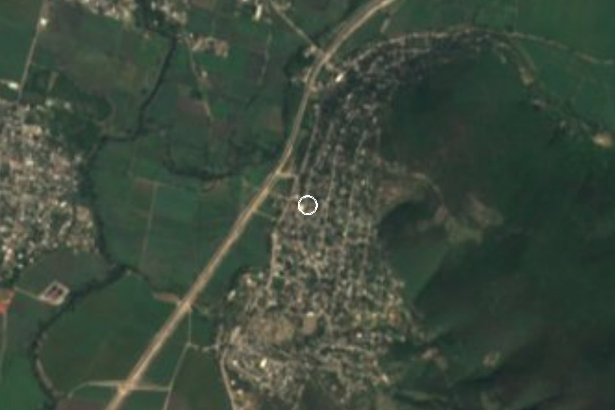
Village Jojutla, Morelos Municipality of Jojutla Southern Morelos
Locality in Jojutla about 2 km from the town centre, with 5,748 people in 2020; hot southern Morelos, with no tourist sights of its own.
From Cuernavaca: 45 min by car (42 km by road) How to get there ↓
Near here
See everything nearby ↓

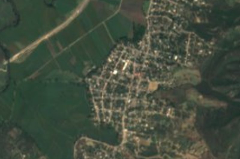


Plan your visit to Pedro Amaro
Where to stay near Pedro Amaro
Compare hotels, posadas and guest houses in Pedro Amaro.
Tours to Pedro Amaro
Day trips and guided outings from Tlaltizapán often include Pedro Amaro; with a local guide you can get there without a car.
 Tours from Cuernavaca
3hr Cooking Class in Cuernavaca 8 Recipes and Bottomless Drinks
From US$59
How to get to Pedro Amaro
- From Cuernavaca: about 45 min by road (~42 km)
- Nearest airport: Mexico City (MEX), 1 h 55 min by car to Tlaltizapán
Links open a partner site. We may earn a commission if you book, at no cost to you.
Tours from Cuernavaca, near Pedro Amaro


Tours, prices and ratings from Viator, checked weekly. We may earn a commission if you book.
About Pedro Amaro
Pedro Amaro is one of the largest built-up localities in the municipality of Jojutla by population: the 2020 census counted 5,748 people and 1,599 occupied dwellings, a number that has been growing (5,551 in 2010). It sits at about 900 m above sea level and a little over 2 km in a straight line from Jojutla city, so it works almost as a residential extension of the municipal seat.
The climate is that of southern Morelos: warm all year, averaging about 24.6 °C, with rain concentrated in summer. Nearly every home has electricity and piped water, and most people declared themselves Catholic in 2020, with a Protestant minority of roughly one in five.
There is no monument or natural site here that justifies a trip on its own, and we found no sources on the origin of the name or on local festivals. What it offers is context: Jojutla is the commercial centre of the region, neighbouring Zacatepec, with its sugar mill, and Tlaltizapán, the town of the Zapatista headquarters. A local directory lists a few restaurants and one hotel in the locality.
If you pass through, treat it as a practical stop for a meal or fuel before continuing to Jojutla or the rest of southern Morelos. We publish no hours or fees because no source gives any.
How to get to Pedro Amaro
Drive from Cuernavaca: 45 min, 42 km
Pedro Amaro is about 2 km from Jojutla city, reached along the local streets and roads leaving the municipal seat; a locality directory places it south or southwest of Jojutla (sources differ), so follow a map. Jojutla itself is reached from Cuernavaca or Mexico City on the Autopista del Sol (Mexico–Cuernavaca) and then the road south through Morelos (Alpuyeca, Puente de Ixtla, Jojutla)
From Cuautla it is about 35 km in a straight line and roughly 40 minutes, approx.; from Tlaltizapán, about 11 km or 15 to 20 minutes. By public transport, take a bus to Jojutla (from Terminal Taxqueña in Mexico City or Cuernavaca's bus station) and then a taxi or city route to Pedro Amaro; we found no published line, so ask in central Jojutla.
Directions to Pedro Amaro on Google Maps
Distances are in a straight line; the road is usually longer.
Links open a partner site. We may earn a commission if you book, at no cost to you.
From the nearest cities to Pedro Amaro
- Cuernavaca · 42 km by road, 45 min
- Cuautla · 50 km by road, 45 min
- Taxco · 67 km by road, 1 h 15 min
Drive times by road from OpenStreetMap, without traffic or stops. Times marked ~ are estimated from the straight-line distance.
Visiting Pedro Amaro: what to see and do
Walk the streets to see what a large neighbourhood-town in southern Morelos looks like.
Eat at the local restaurants before continuing to Jojutla.
Visit the Alameda park and centre of Jojutla, a little over 2 km away.
Continue to Tlaltizapán for the Zapatista headquarters.
Come in the dry season if you dislike humid summer heat.
Plan your trip
Places to stay in Pedro Amaro
Compare hotels, posadas, and rentals in and around Pedro Amaro.
Tours & activities
Day trips and guided outings from Tlaltizapán often include Pedro Amaro; with a local guide you can get there without a car.
Rental cars
Pick up a car at MEX (Mexico City): about 1 h 55 min by road to Tlaltizapán, then 11 km more to Pedro Amaro, on your own schedule.
Flights
The nearest airport with scheduled flights is Mexico City (MEX), about 1 h 55 min by road from Tlaltizapán, the base for Pedro Amaro.
Mobile data
Signal can drop away from Tlaltizapán: download a map of the way to Pedro Amaro before you set out, or carry an eSIM with data.
Links open a partner site. We may earn a commission if you book, at no cost to you.
When to go to Pedro Amaro warm
Pedro Amaro shares the climate of Tlaltizapán, 11 km away. The best months to visit are January, October, November, and December.
See the month-by-month climate of Tlaltizapán
Weather in Pedro Amaro now and the next 7 days
Live forecast from Open-Meteo. Chance of rain is the day's highest.
The closest Pueblo Mágico: Tlaltizapán

Tlaltizapán is the Pueblo Mágico closest to Pedro Amaro, with places to stay, food, and more to see.
Also close to
- Xochitepec · Morelos · 26 km away
- Tepoztlán · Morelos · 44 km away
- Tlayacapan · Morelos · 45 km away
- Taxco · Guerrero · 46 km away
- Malinalco · Estado de México · 52 km away
Closest to Pedro Amaro
-
Tlatenchi · Village · 1 km away
-
Balneario El Paraíso · Landmark · 2 km away
-
Higuerón · Village · 2 km away
-
Jojutla de Juárez · Town · 2 km away
-
Parroquia de San Miguel Arcángel · Landmark · 2 km away
-
Los Venados · Village · 3 km away
-
Valle Dorado · Village · 3 km away
-
Villas de Jojutla · Village · 3 km away
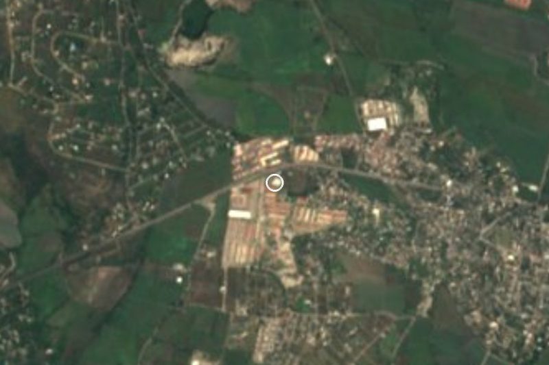

Near Pedro Amaro

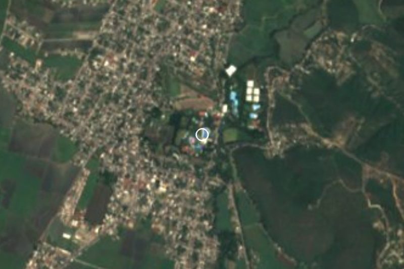
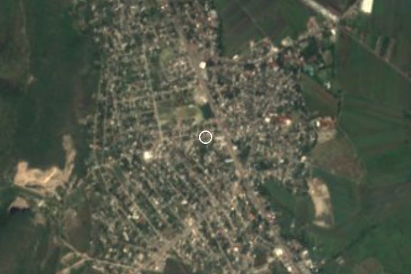


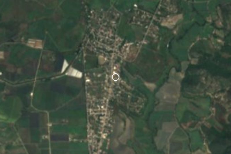
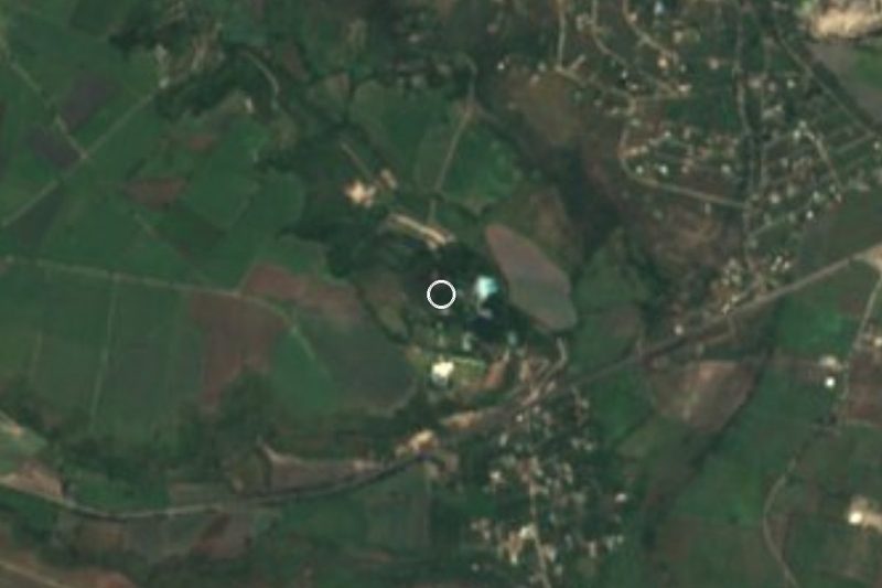
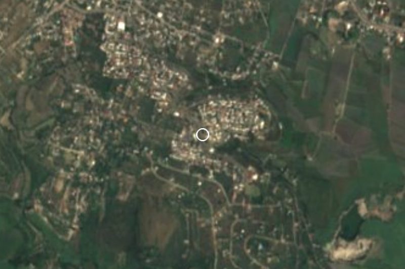
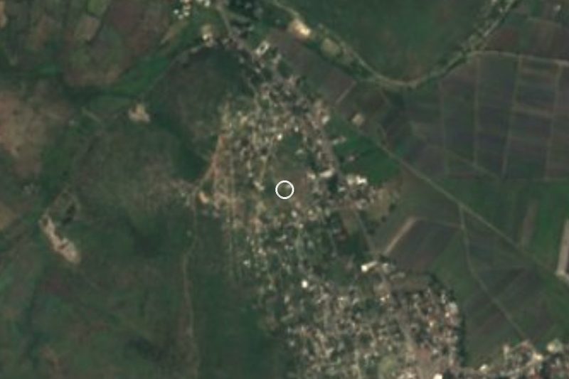
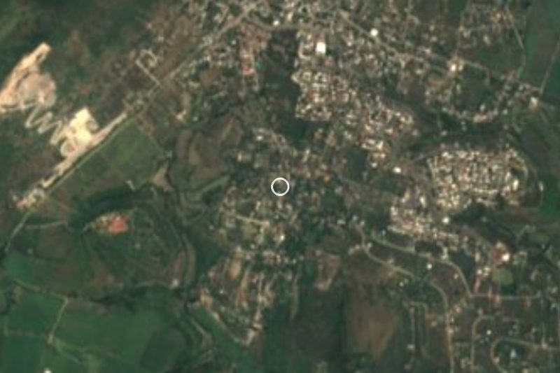
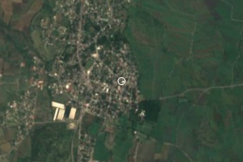

Drive times by road from OpenStreetMap, without traffic. Times marked ~ are estimated from the straight-line distance.
Location from OpenStreetMap. Written by Puebloteca.