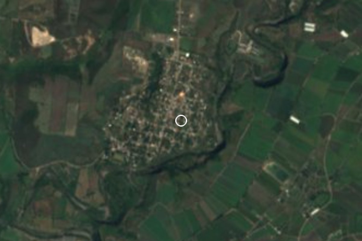
Village Tlaltizapán de Zapata, Morelos Municipality of Tlaltizapán de Zapata Southern Morelos
Locality in Tlaltizapán de Zapata at 1,040 m, with 1,297 people in 2020, about 2 km from Chinameca, where Emiliano Zapata was killed in 1919.
From Cuautla: 30 min by car (25 km by road) How to get there ↓
Near here
See everything nearby ↓
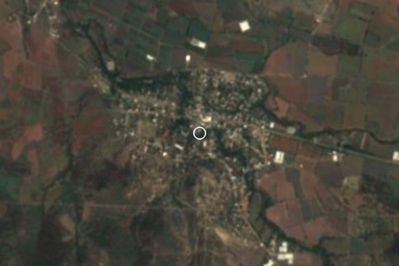
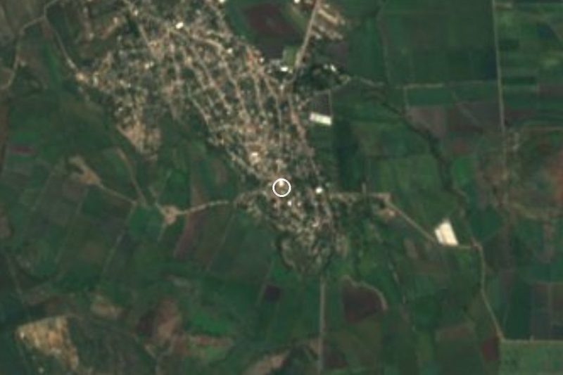
Plan your visit to San Rafael Zaragoza
Where to stay near San Rafael Zaragoza
Compare hotels, posadas and guest houses in San Rafael Zaragoza.
Tours to San Rafael Zaragoza
Day trips and guided outings from Tlaltizapán often include San Rafael Zaragoza; with a local guide you can get there without a car.
 Tours from Cuernavaca
3hr Cooking Class in Cuernavaca 8 Recipes and Bottomless Drinks
From US$59
How to get to San Rafael Zaragoza
- From Cuautla: about 30 min by road (~25 km)
- Nearest airport: Mexico City (MEX), 1 h 55 min by car to Tlaltizapán
Links open a partner site. We may earn a commission if you book, at no cost to you.
Tours from Cuernavaca, near San Rafael Zaragoza


Tours, prices and ratings from Viator, checked weekly. We may earn a commission if you book.
About San Rafael Zaragoza
Between the 1910 and 1921 censuses, San Rafael Zaragoza fell from 631 to 132 people: the Revolution emptied much of southern Morelos, and by 1930 only 55 remained here. Recovery since then has been slow but steady, with 371 in 1950, 833 in 1970, 1,076 in 2000, 1,226 in 2010 and 1,297 in 2020.
The village is in the municipality of Tlaltizapán de Zapata, at about 1,040 metres above sea level. Its name joins the archangel Saint Raphael, the local patron, with Ignacio Zaragoza, the republican general of the 5 May 1862 battle. About 2.2 km east lies Chinameca, home to 3,149 people, where in 1919 Colonel Jesús Guajardo lured Emiliano Zapata into an ambush; the former hacienda now houses the Museo del Agrarismo.
In 2020 there were 372 occupied homes, 98% with electricity and 90% with piped water; average schooling was 7.7 years and 13% of residents were born outside Morelos. Nearby are Tecomalco (432 people, 1.6 km), a Chinameca fish farm 1.2 km away, and hamlets of one to three residents. The village has a primary school. The climate is warm, averaging 23.6 °C with some 194 rainy days a year.
How to get to San Rafael Zaragoza
Drive from Cuautla: 30 min, 25 km
San Rafael Zaragoza is about 22 km straight-line south of Cuautla, Morelos, and about 15 km from Tlaltizapán de Zapata; by car allow roughly 25 minutes from Cuautla and 15 from Tlaltizapán (straight-line estimates). The useful landmark is Chinameca, 2 km east, a larger village with the former hacienda and the Museo del Agrarismo (address: Lázaro Cárdenas s/n, Ayala, per tourism guides). From Cuautla, buses run toward Jojutla, about 1 h 20 min with departures every 10 minutes per Rome2Rio; ask the driver whether it passes near Chinameca and get off there. From Mexico City, Pullman de Morelos reaches Cuautla from its Casino and Centro terminals; confirm times with the company, as adjustments after road blockades were reported in July 2026. From Chinameca it is a few minutes by taxi or colectivo on local roads; we did not verify the highway number or the last stretch. Tlaltizapán, the nearest pueblo mágico, is about 15 km away.
Directions to San Rafael Zaragoza on Google Maps
Distances are in a straight line; the road is usually longer.
Links open a partner site. We may earn a commission if you book, at no cost to you.
From the nearest cities to San Rafael Zaragoza
- Cuautla · 25 km by road, 30 min
- Cuernavaca · 65 km by road, 1 h
- Atlixco · 81 km by road, 1 h
Drive times by road from OpenStreetMap, without traffic or stops. Times marked ~ are estimated from the straight-line distance.
Visiting San Rafael Zaragoza: what to see and do
Visit the Museo del Agrarismo in the former Chinameca hacienda, about 2 km east.
See the place in Chinameca where Emiliano Zapata was ambushed in 1919.
Walk San Rafael Zaragoza and look at the primary school and village streets.
Follow the road to Tecomalco, 1.6 km southwest.
Glance at the Chinameca fish farm, 1.2 km southeast.
Plan your trip
Places to stay in San Rafael Zaragoza
Compare hotels, posadas, and rentals in and around San Rafael Zaragoza.
Tours & activities
Day trips and guided outings from Tlaltizapán often include San Rafael Zaragoza; with a local guide you can get there without a car.
Rental cars
Pick up a car at MEX (Mexico City): about 1 h 55 min by road to Tlaltizapán, then 15 km more to San Rafael Zaragoza, on your own schedule.
Flights
The nearest airport with scheduled flights is Mexico City (MEX), about 1 h 55 min by road from Tlaltizapán, the base for San Rafael Zaragoza.
Mobile data
Signal can drop away from Tlaltizapán: download a map of the way to San Rafael Zaragoza before you set out, or carry an eSIM with data.
Links open a partner site. We may earn a commission if you book, at no cost to you.
When to go to San Rafael Zaragoza warm
San Rafael Zaragoza shares the climate of Tlaltizapán, 15 km away. The best months to visit are January, October, November, and December.
See the month-by-month climate of Tlaltizapán
Weather in San Rafael Zaragoza now and the next 7 days
Live forecast from Open-Meteo. Chance of rain is the day's highest.
The closest Pueblo Mágico: Tlaltizapán

Tlaltizapán is the Pueblo Mágico closest to San Rafael Zaragoza, with places to stay, food, and more to see.
Also close to
- Tlayacapan · Morelos · 35 km away
- Xochitepec · Morelos · 36 km away
- Tepoztlán · Morelos · 40 km away
- Malinalco · Estado de México · 63 km away
- Taxco · Guerrero · 64 km away
Closest to San Rafael Zaragoza
-
Chinameca · Town · 2 km away
-
San Vicente de Juárez · Village · 5 km away
-
Zacapalco · Village · 5 km away
-
El Salitre · Village · 6 km away
-
Huitchila · Village · 8 km away
-
Moyotepec · Village · 9 km away
-
Abelardo L. Rodríguez · Village · 11 km away
-
Olintepec · Village · 11 km away
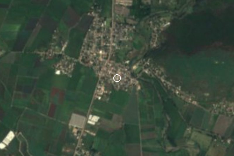
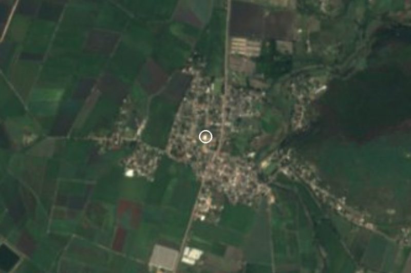
Near San Rafael Zaragoza

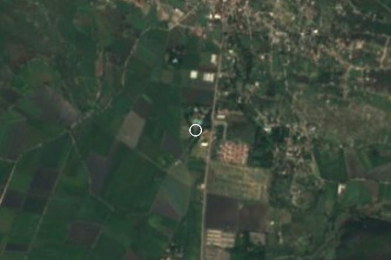



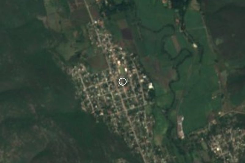
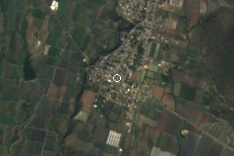

Drive times by road from OpenStreetMap, without traffic. Times marked ~ are estimated from the straight-line distance.
Location from OpenStreetMap. Written by Puebloteca.