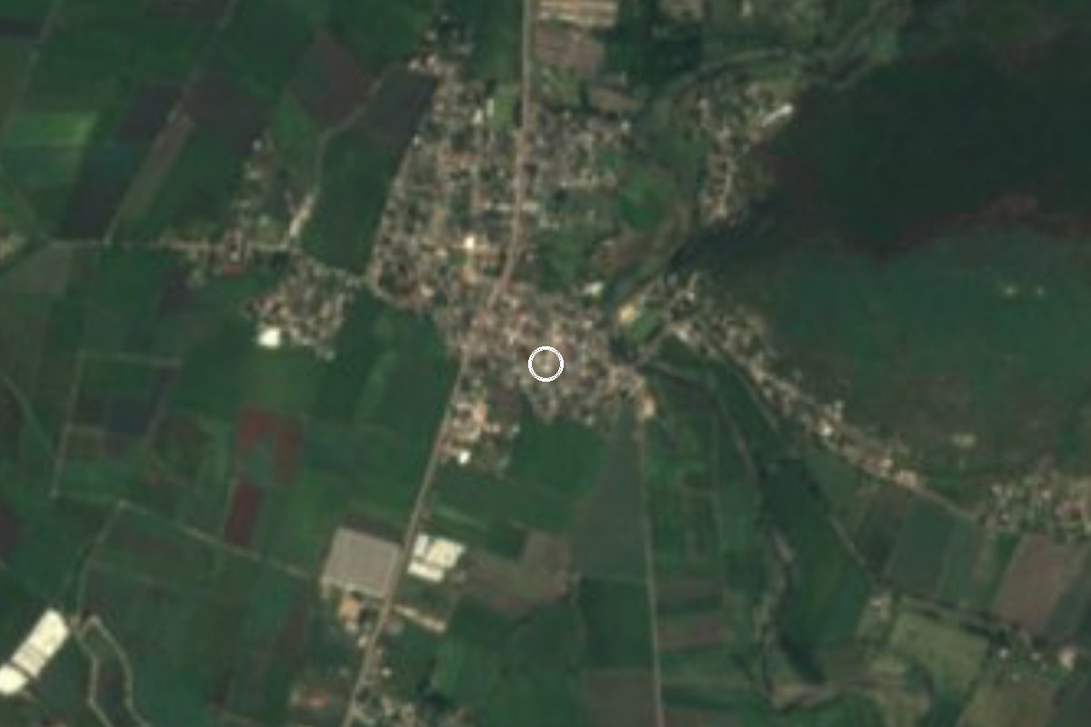
Village Ayala, Morelos Municipality of Ayala Southern Morelos
Village in Ayala on the Cuautla-Jojutla highway at about 1,150 m, with a San Francisco fiesta on 4 October and 2,072 residents.
From Cuautla: 15 min by car (13 km by road) How to get there ↓
Near here
See everything nearby ↓



Plan your visit to Abelardo L. Rodríguez
Where to stay near Abelardo L. Rodríguez
Compare hotels, posadas and guest houses in Abelardo L. Rodríguez.
Tours to Abelardo L. Rodríguez
Day trips and guided outings from Tlaltizapán often include Abelardo L. Rodríguez; with a local guide you can get there without a car.
 Cultural Tour in the Historic Center of Mexico City
From US$43
How to get to Abelardo L. Rodríguez
- From Cuautla: about 15 min by road (~13 km)
- Nearest airport: Mexico City (MEX), 1 h 55 min by car to Tlaltizapán
Links open a partner site. We may earn a commission if you book, at no cost to you.
Popular tours to Abelardo L. Rodríguez

Tours, prices and ratings from Viator, checked weekly. We may earn a commission if you book.
About Abelardo L. Rodríguez
Abelardo L. Rodríguez is one of the localities of Ayala, in eastern Morelos, and carries the name of the president of Mexico from 1932 to 1934. It sits at about 1,153 m above sea level, 6.7 km southwest of Ciudad Ayala and 3.3 km south of San Pedro Apatlaco; the 2020 census counted 2,072 residents, up from 1,948 in 2010 and 1,896 in 2005. According to the Pueblos de América portal the climate is warm and semi-arid, averaging 22.6 °C with about 1,000 mm of rain a year.
The village stands on the Cuautla-Jojutla federal highway, the same road that serves Anenecuilco, Ciudad Ayala, Moyotepec and San Vicente de Juárez. Municipal roads link it with Leopoldo Heredia, Tenextepango, San Juan Ahuehueyo and Jaloxtoc, and the municipality's river system runs through it. This is farming country rather than tourist country: no lodging is registered in the village, and the nearest, Hotel San Antonio, is about 3 km away.
The village fiesta is on 4 October, the feast of St Francis. Outside that date the reason to come this way is the Zapata trail: Anenecuilco, where Emiliano Zapata was born and where the Museo Casa Zapata stands, and Ciudad Ayala, where the Plan de Ayala was proclaimed on 28 November 1911, are a few kilometres away.
Residents quoted on the same portal praise the quiet and the low cost of living, but also mention water cuts, poor streets and thin public transport, so do not count on visitor services.
How to get to Abelardo L. Rodríguez
Drive from Cuautla: 15 min, 13 km
From Mexico City, take the toll road to Cuautla (115D); once in Cuautla, take the Cuautla-Jojutla federal highway south. This road runs through Ciudad Ayala and past Abelardo L. Rodríguez, which sits right on it. Cuautla is about 11 km away in a straight line: allow roughly 20 to 30 minutes by car.
By public transport, buses to Cuautla leave from Terminal Taxqueña (Central del Sur); from the Cuautla bus station take local transport down the Jojutla road. We found no published routes or timetables for colectivos to this village, so ask in Cuautla for the ones going to Ayala and Jojutla.
Tlaltizapán, the nearest pueblo in our guide, is about 17 km away in a straight line and about 23 km by road, according to the Pueblos de América portal. Distances are estimates: check before you go.
Directions to Abelardo L. Rodríguez on Google Maps
Distances are in a straight line; the road is usually longer.
Links open a partner site. We may earn a commission if you book, at no cost to you.
From the nearest cities to Abelardo L. Rodríguez
- Cuautla · 13 km by road, 15 min
- Cuernavaca · 65 km by road, 1 h
- Atlixco · 85 km by road, 1 h 10 min
Drive times by road from OpenStreetMap, without traffic or stops. Times marked ~ are estimated from the straight-line distance.
Before you go to Abelardo L. Rodríguez: hours, prices and tips
- Best season
- The village fiesta is on 4 October, the feast of San Francisco. Hispanopedia, Municipio de Ayala · checked Oct 2026
Hours and prices change, especially around holidays. Each fact links to where we checked it.
Visiting Abelardo L. Rodríguez: what to see and do
Join the San Francisco fiesta on 4 October.
Walk or drive the municipal roads toward Tenextepango and Jaloxtoc.
Visit the Museo Casa Zapata in Anenecuilco, where Emiliano Zapata was born.
Stop in Ciudad Ayala, where the Plan de Ayala was proclaimed in 1911.
Base yourself in Cuautla, which has the nearest hotels and restaurants.
Plan your trip
Places to stay in Abelardo L. Rodríguez
Compare hotels, posadas, and rentals in and around Abelardo L. Rodríguez.
Tours & activities
Day trips and guided outings from Tlaltizapán often include Abelardo L. Rodríguez; with a local guide you can get there without a car.
Rental cars
Pick up a car at MEX (Mexico City): about 1 h 55 min by road to Tlaltizapán, then 17 km more to Abelardo L. Rodríguez, on your own schedule.
Flights
The nearest airport with scheduled flights is Mexico City (MEX), about 1 h 55 min by road from Tlaltizapán, the base for Abelardo L. Rodríguez.
Mobile data
Signal can drop away from Tlaltizapán: download a map of the way to Abelardo L. Rodríguez before you set out, or carry an eSIM with data.
Links open a partner site. We may earn a commission if you book, at no cost to you.
When to go to Abelardo L. Rodríguez warm
Abelardo L. Rodríguez shares the climate of Tlaltizapán, 17 km away. The best months to visit are January, October, November, and December.
See the month-by-month climate of Tlaltizapán
Weather in Abelardo L. Rodríguez now and the next 7 days
Live forecast from Open-Meteo. Chance of rain is the day's highest.
The closest Pueblo Mágico: Tlaltizapán

Tlaltizapán is the Pueblo Mágico closest to Abelardo L. Rodríguez, with places to stay, food, and more to see.
Also close to
- Tlayacapan · Morelos · 24 km away
- Tepoztlán · Morelos · 30 km away
- Xochitepec · Morelos · 35 km away
- Malinalco · Estado de México · 59 km away
- Atlixco · Puebla · 62 km away
Closest to Abelardo L. Rodríguez
-
Olintepec · Village · 0 km away
-
Zona Arqueológica de Olintepec · Archaeological site · 0 km away
-
Balneario "El Axocochetl" · Hot springs · 2 km away
-
Moyotepec · Village · 2 km away
-
Ciudad Ayala · Town · 3 km away
-
Constancio Farfán · Village · 3 km away
-
Tenextepango · Village · 3 km away
-
Benito Juárez · Village · 4 km away

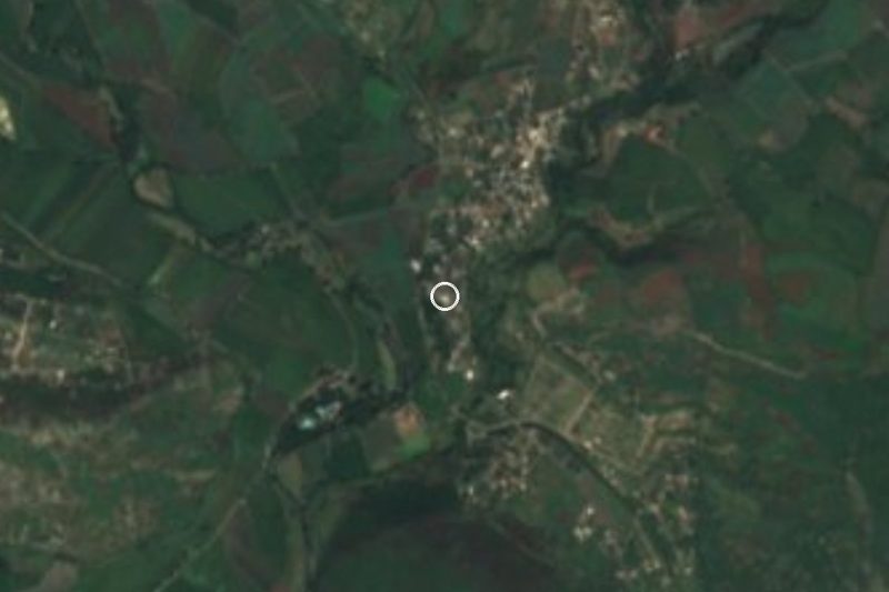
Near Abelardo L. Rodríguez






Drive times by road from OpenStreetMap, without traffic. Times marked ~ are estimated from the straight-line distance.
Location from OpenStreetMap. Written by Puebloteca.