Town Ayala, Morelos Municipality of Ayala Southern Morelos
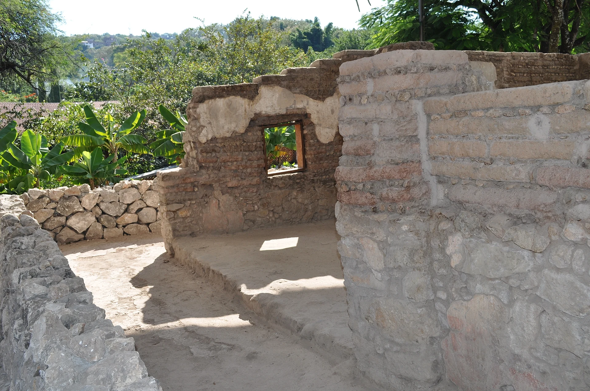
Seat of Ayala municipality, 6 km from Cuautla, with the San José parish and the Museum of Zapatista Women, opened in April 2026.
From Cuautla: 10 min by car (10 km by road) How to get there ↓
Near here


Plan your visit to Ciudad Ayala
Where to stay near Ciudad Ayala
Compare hotels, posadas and guest houses in Ciudad Ayala.
Tours to Ciudad Ayala
Day trips around Tlaltizapán sometimes stop in Ciudad Ayala; a tour is the easy way to see it without a car.
 Tours from Cuernavaca
3hr Cooking Class in Cuernavaca 8 Recipes and Bottomless Drinks
From US$59
How to get to Ciudad Ayala
- From Cuautla: about 10 min by road (~10 km)
- Nearest airport: Mexico City (MEX), 1 h 55 min by car to Tlaltizapán
Links open a partner site. We may earn a commission if you book, at no cost to you.
Tours from Cuernavaca, near Ciudad Ayala


Tours, prices and ratings from Viator, checked weekly. We may earn a commission if you book.
About Ciudad Ayala
Ciudad Ayala is the seat of the municipality of Ayala, on the Amilpas plain, at roughly 1,150 to 1,230 m above sea level. The 2020 census counted 6,335 people in the town and 89,834 in the whole municipality, which remains farming country: sugarcane, maize, sorghum, rice and onions. It is about 6 km from Cuautla, 60 km from Cuernavaca and 117 km south of Mexico City.
The town grew out of the hacienda of San Francisco Mapachtlan, founded in 1603 and turned into a congregación some twelve years later. By 1750 the community had built its church and was known as San José de Mapachtlan. In 1868 it was renamed after the insurgent colonel Francisco Ayala (1760-1812), and in 1976 the state congress made it a city. The name brought fame: the Plan de Ayala of November 1911 carries the town's name, and several sources have it proclaimed here on 28 November, although others place the signing at Ayoxuxtla in Puebla. Eufemio Zapata, Pablo Torres Burgos and Otilio Montaño are among the figures tied to Ayala.
The centre today has the parish of San José, whose feast is 19 March, the bandstand, the Plaza Cívica Francisco Ayala and a statue of Zapata in the main square. Since 10 April 2026 it also has the Museo de las Mujeres Zapatistas, in the house of Josefa Espejo, Zapata's wife: three rooms honouring 90 women with 86 photographs, 56 objects, 26 letters and 13 oral testimonies. A little over a kilometre away is Anenecuilco, where Zapata was born and where another house museum stands, and the municipality also holds the ex-hacienda of Chinameca, where he was killed in 1919, and the El Axocoche and El Colibrí water parks.
How to get to Ciudad Ayala
Drive from Cuautla: 10 min, 10 km
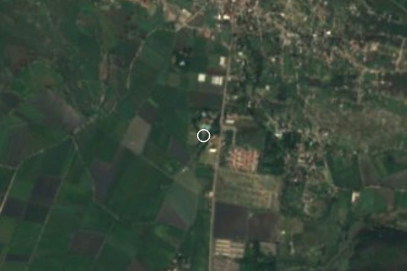
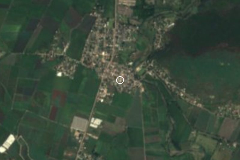
Ciudad Ayala is about 6 to 8 km south of Cuautla, roughly 10 minutes by car or taxi along the Cuautla-Ayala road. Cuernavaca is about 60 km away and Tlaltizapán, the nearest pueblo, about 19 km in a straight line (approx. 25 minutes by car; no published figure).
Coming from the capital, the practical plan is to reach Cuautla first. By car, take the Autopista del Sol (95D) to La Pera and then the La Pera-Cuautla toll road (160D), which ends on the north side of Cuautla; then drive south to Ayala. By bus, Pullman de Morelos leaves hourly from the Terminal Central del Sur at Taxqueña for Cuautla, in about 1 h 50 min, and Estrella Roja and Cristóbal Colón run from the same terminal to Cuautlixco. Rome2Rio finds no direct bus to Ayala.
From central Cuautla to Ayala, the Movilidad Morelos site lists a Cuautla-CBTIS (Cd. Ayala)-Cuautla service under Ruta 19 Oriente; it publishes no schedules or fares, so check locally or take a taxi.
Directions to Ciudad Ayala on Google Maps
Distances are in a straight line; the road is usually longer.
Links open a partner site. We may earn a commission if you book, at no cost to you.
From the nearest cities to Ciudad Ayala
- Cuautla · 10 km by road, 10 min
- Cuernavaca · 62 km by road, 55 min
- Atlixco · 82 km by road, 1 h 5 min
Drive times by road from OpenStreetMap, without traffic or stops. Times marked ~ are estimated from the straight-line distance.
What to see in Ciudad Ayala 2
Sights with their own page, closest to the centre first.
Hot springs
-
Balneario "El Axocochetl" · Hot springs · 1 km from the centre
Ejido balneario in Ayala at km 7 of the Cuautla–Jojutla road: a spring, pools, a slide, a Zapatista museum and camping. Adults 80 pesos.
Archaeological sites
-
Zona Arqueológica de Olintepec · Archaeological site · 3 km from the centre
Site occupied from 1500 BC to AD 1610, with a mound and a Dominican chapel among the houses of Nueva Olintepec, Ayala.
Map of Ciudad Ayala
Neighbourhoods and villages of Ciudad Ayala
Part of Ciudad Ayala or just outside it, closest first.
-
Anenecuilco · Town · 2 km from the centre
Emiliano Zapata's birthplace, with the remains of his family home kept as a small museum. -
Abelardo L. Rodríguez · Village · 3 km from the centre
Village in Ayala on the Cuautla-Jojutla highway at about 1,150 m, with a San Francisco fiesta on 4 October and 2,072 residents. -
Benito Juárez · Village · 3 km from the centre
A hamlet of 295 people south of Ciudad Ayala, Morelos, near San Pedro Apatlaco and Niños Héroes; 90 homes and La Tortuga hill close by. -
Olintepec · Village · 3 km from the centre
Village of 1,656 people in Ayala, at 1,164 m, south of San Pedro Apatlaco. The archaeological site has its own page. -
Constancio Farfán · Village · 4 km from the centre
Village in Ayala at 1,205 m, a short hop from Tenextepango, named for the Revolution general Constancio Farfán. 2,148 residents in 2020. -
San Pedro Apatlaco · Village · 4 km from the centre
A locality of over 13,000 people next to Cuautla, home to the Coahuixtla ex-hacienda, a Zapatista barracks damaged in the 2017 quake.


Day trips and tours from Ciudad Ayala
The closest Pueblos Mágicos and places to visit, with the drive from Ciudad Ayala and tours that leave from it.


Times marked ~ are estimated from the distance. Links open a partner site. We may earn a commission if you book, at no cost to you.
Before you go: getting to and around Ciudad Ayala
- The nearest airport is Mexico City (MEX).
- The best months to go are January, October, November, and December.
- 2 of the places on this page are more than 3 km from the centre: take a taxi, a ride-hailing app or a local bus.
- For day trips a rental car gives the most freedom; the tours above leave from Ciudad Ayala.
Before you go to Ciudad Ayala: hours, prices and tips
- Hours
- The Museo de las Mujeres Zapatistas opens Wednesday to Sunday, 10 am to 5 pm according to the official listing. Other sources say until 6 pm, so arrive with time to spare. SIC (Secretaría de Cultura) · checked Oct 2026
- Entry
- Entry to the Museo de las Mujeres Zapatistas is free. SIC (Secretaría de Cultura) · checked Oct 2026
- Best time of day
- The patron feast of San José is 19 March, and the Virgin of Guadalupe is celebrated on 12 December. Guía Turística Morelos · checked Oct 2026
Hours and prices change, especially around holidays. Each fact links to where we checked it.
Visiting Ciudad Ayala: what to see and do
Go into the Museo de las Mujeres Zapatistas, in Josefa Espejo's house at Avenida Lázaro Cárdenas 28.
Visit the parish of San José, at Nicolás Galindo 2 in the centre.
Stroll the main square: the bandstand, Plaza Cívica Francisco Ayala and the Zapata statue.
Walk or take a taxi to Anenecuilco, a little over a kilometre away, for the Casa Museo de Zapata.
Continue to Chinameca for the Museo del Agrarismo, in the ex-hacienda where Zapata died.
End the day at the El Axocoche or El Colibrí water parks.
Plan your trip
Places to stay in Ciudad Ayala
Compare hotels, posadas, and rentals in and around Ciudad Ayala.
Tours & activities
Day trips around Tlaltizapán sometimes stop in Ciudad Ayala; a tour is the easy way to see it without a car.
Rental cars
Pick up a car at MEX (Mexico City): about 1 h 55 min by road to Tlaltizapán, then 19 km more to Ciudad Ayala, on your own schedule.
Flights
The nearest airport with scheduled flights is Mexico City (MEX), about 1 h 55 min by road from Tlaltizapán, the base for Ciudad Ayala.
Mobile data
Signal can drop away from Tlaltizapán: download a map of the way to Ciudad Ayala before you set out, or carry an eSIM with data.
Links open a partner site. We may earn a commission if you book, at no cost to you.
When to go to Ciudad Ayala warm
Ciudad Ayala shares the climate of Tlaltizapán, 19 km away. The best months to visit are January, October, November, and December.
See the month-by-month climate of Tlaltizapán
Weather in Ciudad Ayala now and the next 7 days
Live forecast from Open-Meteo. Chance of rain is the day's highest.
The closest Pueblo Mágico: Tlaltizapán

Tlaltizapán is the Pueblo Mágico closest to Ciudad Ayala, with places to stay, food, and more to see.
Also close to
- Tlayacapan · Morelos · 21 km away
- Tepoztlán · Morelos · 27 km away
- Xochitepec · Morelos · 34 km away
- Malinalco · Estado de México · 58 km away
- Atlixco · Puebla · 61 km away
Near Ciudad Ayala




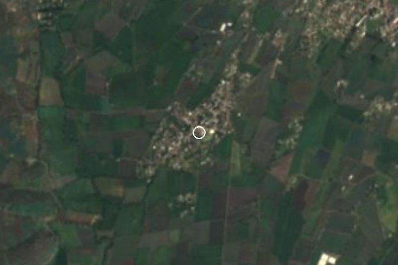
Drive times by road from OpenStreetMap, without traffic. Times marked ~ are estimated from the straight-line distance.
Location from OpenStreetMap. Written by Puebloteca.