

Village Ayala, Morelos Municipality of Ayala Monasteries on the slopes of Popocatépetl Northern Morelos
A locality of over 13,000 people next to Cuautla, home to the Coahuixtla ex-hacienda, a Zapatista barracks damaged in the 2017 quake.
From Cuautla: 10 min by car (5 km by road) How to get there ↓
Near here
See everything nearby ↓
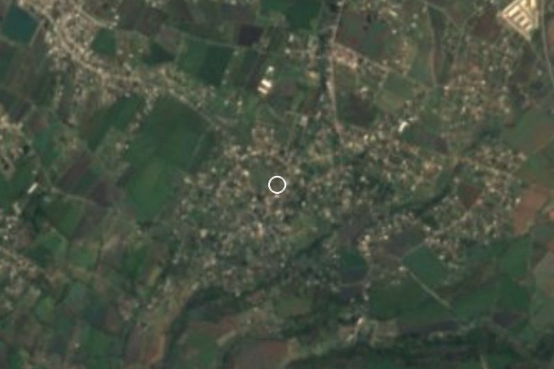


Plan your visit to San Pedro Apatlaco
Where to stay near San Pedro Apatlaco
Compare hotels, posadas and guest houses in San Pedro Apatlaco.
Tours to San Pedro Apatlaco
Day trips and guided outings from Tlayacapan often include San Pedro Apatlaco; with a local guide you can get there without a car.
How to get to San Pedro Apatlaco
- From Cuautla: about 10 min by road (~5 km)
- Nearest airport: Mexico City (MEX), 1 h 33 min by car to Tlayacapan
Links open a partner site. We may earn a commission if you book, at no cost to you.
About San Pedro Apatlaco
San Pedro Apatlaco is one of the most populous localities in the municipality of Ayala: in 2020 it had 13,032 residents, at about 1,291 metres. It sits so close to Cuautla that Wikipedia counts it, along with Anenecuilco, among the localities that merge into that city. The name comes from the patron saint, Peter the Apostle, and from Nahuatl atl, water, and patlauac, wide thing: "in the wide water".
The best-known landmark is the ex-hacienda of San Antonio Coahuixtla, which stands inside the village. A report in El Financiero dates it to 1587 and credits Dominican friars; that comes from a single press source and should be taken cautiously. The same piece says it was one of the important haciendas of the Porfiriato and that during the Revolution it served as a barracks for Emiliano Zapata. The complex keeps a main tower, arches, storerooms and two notable chimneys, plus a brick kiln. The earthquake of 19 September 2017 brought one chimney down halfway, cracked the other and damaged part of the tower, the arches and the storerooms; residents roped off dangerous areas, INAH asked that the rubble be kept for restoration and the state tourism office sent materials to shore it up.
Two dates stand out in the calendar: 2 February, Candlemas, and 29 June, the feast of Saint Peter. The Spanish Wikipedia entry for Ayala lists Coahuixtla among the municipality's ex-haciendas, alongside Chinameca and Tenextepango, which belong to the Zapata Route linking Anenecuilco, Chinameca, Tlaltizapán and Cuautla.
How to get to San Pedro Apatlaco
Drive from Cuautla: 10 min, 5 km
San Pedro Apatlaco is about 4 km from the centre of Cuautla in a straight line, approx. 5 minutes by car, and blends into the city's built-up area. From Cuautla you get there by local streets and roads; the municipality of Ayala crosses the federal Cuautla-Jojutla and Cuautla-Oaxaca roads. We found no named transport line or timetable: the practical way is a taxi or urban transport from central Cuautla. Cuautla is reached by bus from the southern terminal (Taxqueña) in about 90 minutes (Pullman de Morelos); Cuautla has several scattered terminals, one per line (Wikivoyage). From Tlayacapan, the nearest pueblo, it is about 18 km in a straight line, approx. 20 minutes. Because the ex-hacienda was damaged, ask in the village about access before you go.
Directions to San Pedro Apatlaco on Google Maps
Distances are in a straight line; the road is usually longer.
Links open a partner site. We may earn a commission if you book, at no cost to you.
From the nearest cities to San Pedro Apatlaco
- Cuautla · 5 km by road, 10 min
- Cuernavaca · 57 km by road, 55 min
- Atlixco · 77 km by road, 1 h
Drive times by road from OpenStreetMap, without traffic or stops. Times marked ~ are estimated from the straight-line distance.
Before you go to San Pedro Apatlaco: hours, prices and tips
- Best season
- Festivals: 2 February (Candlemas) and 29 June (Saint Peter). Wikipedia (es), Ayala · checked Oct 2026
- Rules
- The Coahuixtla ex-hacienda was damaged by the 2017 earthquake and residents roped off dangerous areas; the article does not say whether it can be visited. Check access in the village. El Financiero (2017) · checked Oct 2026
Hours and prices change, especially around holidays. Each fact links to where we checked it.
Visiting San Pedro Apatlaco: what to see and do
The ex-hacienda of San Antonio Coahuixtla, with its tower, arches and chimneys (damaged in 2017; check whether you can go in).
The feast of Saint Peter on 29 June.
Candlemas on 2 February.
The nearby Zapata Route: Anenecuilco (Casa Zapata museum), Chinameca and Tlaltizapán.
The ex-hacienda of Tenextepango, also in Ayala.
Plan your trip
Places to stay in San Pedro Apatlaco
Compare hotels, posadas, and rentals in and around San Pedro Apatlaco.
Tours & activities
Day trips and guided outings from Tlayacapan often include San Pedro Apatlaco; with a local guide you can get there without a car.
Rental cars
Pick up a car at MEX (Mexico City): about 1 h 33 min by road to Tlayacapan, then 18 km more to San Pedro Apatlaco, on your own schedule.
Flights
The nearest airport with scheduled flights is Mexico City (MEX), about 1 h 33 min by road from Tlayacapan, the base for San Pedro Apatlaco.
Mobile data
Signal can drop away from Tlayacapan: download a map of the way to San Pedro Apatlaco before you set out, or carry an eSIM with data.
Links open a partner site. We may earn a commission if you book, at no cost to you.
When to go to San Pedro Apatlaco mild
San Pedro Apatlaco shares the climate of Tlayacapan, 18 km away. The best months to visit are January, February, March, and December.
See the month-by-month climate of Tlayacapan
Weather in San Pedro Apatlaco now and the next 7 days
Live forecast from Open-Meteo. Chance of rain is the day's highest.
The closest Pueblo Mágico: Tlayacapan

Tlayacapan is the Pueblo Mágico closest to San Pedro Apatlaco, with places to stay, food, and more to see.
Also close to
- Tlaltizapán · Morelos · 22 km away
- Tepoztlán · Morelos · 26 km away
- Xochitepec · Morelos · 37 km away
- Atlixco · Puebla · 58 km away
- Malinalco · Estado de México · 59 km away
Closest to San Pedro Apatlaco
-
Estadio Isidro Gil Tapia · Landmark · 2 km away
-
Las Arboledas · Village · 2 km away
-
Museo del Oriente de Morelos "Casa de Morelos" · Landmark · 2 km away
-
Parroquia de Santiago Apóstol de Cuautla · Landmark · 2 km away
-
Anenecuilco · Town · 3 km away
-
Antigua estación del ferrocarril de Cuautla · Landmark · 3 km away
-
Balneario Los Limones · Hot springs · 3 km away
-
Puxtla · Village · 3 km away

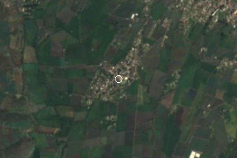
Near San Pedro Apatlaco





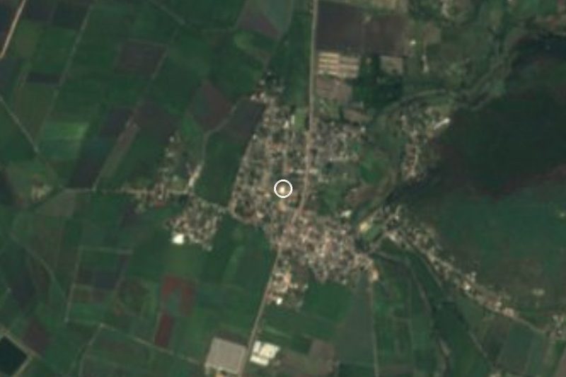
Drive times by road from OpenStreetMap, without traffic. Times marked ~ are estimated from the straight-line distance.
Location from OpenStreetMap. Written by Puebloteca.