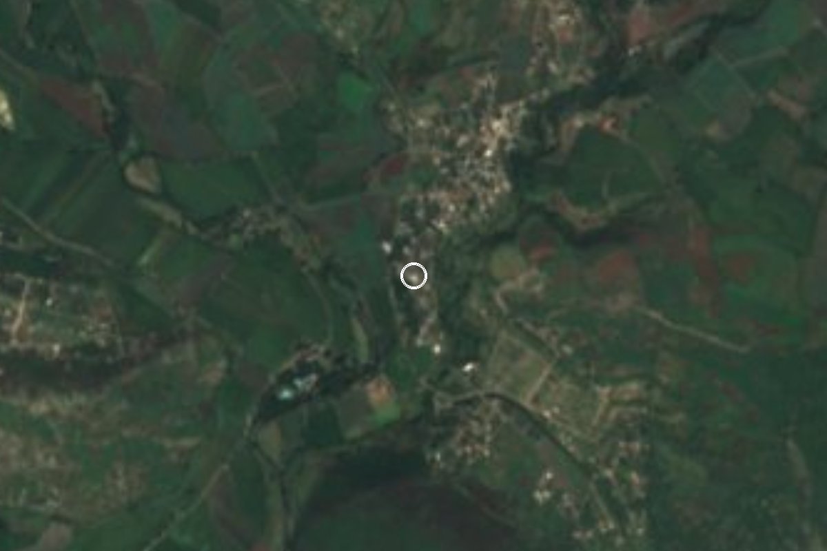
Village Ayala, Morelos Municipality of Ayala
A hamlet of 295 people south of Ciudad Ayala, Morelos, near San Pedro Apatlaco and Niños Héroes; 90 homes and La Tortuga hill close by.
From Cuautla: 15 min by car (9 km by road) How to get there ↓
Near here
See everything nearby ↓


Plan your visit to Benito Juárez
Where to stay near Benito Juárez
Compare hotels, posadas and guest houses in Benito Juárez.
Tours to Benito Juárez
Day trips and guided outings from Tlaltizapán often include Benito Juárez; with a local guide you can get there without a car.
 Private Transportation from Benito Juarez Airport CDMX to Puebla
★ 5.0 (1) · From US$175
How to get to Benito Juárez
- From Cuautla: about 15 min by road (~9 km)
- Nearest airport: Mexico City (MEX), 1 h 55 min by car to Tlaltizapán
Links open a partner site. We may earn a commission if you book, at no cost to you.
Popular tours to Benito Juárez


Tours, prices and ratings from Viator, checked weekly. We may earn a commission if you book.
About Benito Juárez
Of the several places called Benito Juárez in Morelos, this is the one in Ayala, and what sets it apart is its size: INEGI counted 295 people in 2020, against 346 in 2010 and 301 in 2005, living in about 90 homes. It is a hamlet with village streets at roughly 1,220 m, surrounded by fields and larger colonias, and ranks 31st of the municipality's 149 localities.
It lies about 3 km south of Ciudad Ayala, the municipal seat, and about 2.6 km east of San Pedro Apatlaco, the most populous locality in the municipality. Its closest neighbours are bigger than it is: Niños Héroes (582 people) under a kilometre to the southwest, Colonia La Libertad (138) and a 19-person Segunda Sección Benito Juárez to the southeast, and Constancio Farfán, known as La Pascuala (2,148), a little over 2 km east. Anenecuilco, where Emiliano Zapata was born, is in the same municipality.
Services reach everyone: in 2020 all homes had electricity and piped water, and nearly 89% had a mobile phone. The hill of La Tortuga (1,303 m) is 1.3 km to the south, with El Ajonjolí and El Izote, a little over 1,300 m, about 2 km off. The climate is warm, averaging 22.1 °C with about 1,000 mm of rain a year, and the postal code is 62714.
How to get to Benito Juárez
Drive from Cuautla: 15 min, 9 km
This Benito Juárez is about 8 km from Cuautla in a straight line (roughly 10 minutes by car) and about 3 km from Ciudad Ayala. From Mexico City, get to Cuautla first: by car along federal highway 115, which meets highway 160 at Cuautlixco north of the city; by bus with Pullman de Morelos from the Taxqueña Terminal Sur or Volcanes from TAPO (check departures). From Cuautla head south toward Ciudad Ayala, then take the local road toward San Pedro Apatlaco and Niños Héroes; the hamlet is about 2.5 km from Ayala.
Without a car, take a colectivo from Cuautla to Ciudad Ayala and finish by taxi; we found no published timetable. Note that Morelos has other Benito Juárez localities, in Temixco and Coatlán del Río, so look for the one in Ayala, postal code 62714. From Tlaltizapán, the nearest pueblo on our list, it is about 21 km as the crow flies and roughly 30 minutes by road.
Directions to Benito Juárez on Google Maps
Distances are in a straight line; the road is usually longer.
Links open a partner site. We may earn a commission if you book, at no cost to you.
From the nearest cities to Benito Juárez
- Cuautla · 9 km by road, 15 min
- Cuernavaca · 61 km by road, 1 h
- Atlixco · 82 km by road, 1 h 5 min
Drive times by road from OpenStreetMap, without traffic or stops. Times marked ~ are estimated from the straight-line distance.
Visiting Benito Juárez: what to see and do
Walk the hamlet's streets.
Climb La Tortuga hill (1,303 m), 1.3 km south, about 20 minutes on foot.
Stop in Niños Héroes and La Pascuala, the neighbouring localities.
Visit Ciudad Ayala, about 3 km north.
See Anenecuilco, Zapata's birthplace, in the same municipality.
Plan your trip
Places to stay in Benito Juárez
Compare hotels, posadas, and rentals in and around Benito Juárez.
Tours & activities
Day trips and guided outings from Tlaltizapán often include Benito Juárez; with a local guide you can get there without a car.
Rental cars
Pick up a car at MEX (Mexico City): about 1 h 55 min by road to Tlaltizapán, then 21 km more to Benito Juárez, on your own schedule.
Flights
The nearest airport with scheduled flights is Mexico City (MEX), about 1 h 55 min by road from Tlaltizapán, the base for Benito Juárez.
Mobile data
Signal can drop away from Tlaltizapán: download a map of the way to Benito Juárez before you set out, or carry an eSIM with data.
Links open a partner site. We may earn a commission if you book, at no cost to you.
When to go to Benito Juárez warm
Benito Juárez shares the climate of Tlaltizapán, 21 km away. The best months to visit are January, October, November, and December.
See the month-by-month climate of Tlaltizapán
Weather in Benito Juárez now and the next 7 days
Live forecast from Open-Meteo. Chance of rain is the day's highest.
The closest Pueblo Mágico: Tlaltizapán

Tlaltizapán is the Pueblo Mágico closest to Benito Juárez, with places to stay, food, and more to see.
Also close to
- Tlayacapan · Morelos · 22 km away
- Tepoztlán · Morelos · 29 km away
- Xochitepec · Morelos · 37 km away
- Atlixco · Puebla · 58 km away
- Malinalco · Estado de México · 61 km away
Closest to Benito Juárez
-
Constancio Farfán · Village · 2 km away
-
Anenecuilco · Town · 3 km away
-
Balneario "El Axocochetl" · Hot springs · 3 km away
-
Ciudad Ayala · Town · 3 km away
-
Las Arboledas · Village · 3 km away
-
Abelardo L. Rodríguez · Village · 4 km away
-
Olintepec · Village · 4 km away
-
San Pedro Apatlaco · Village · 4 km away
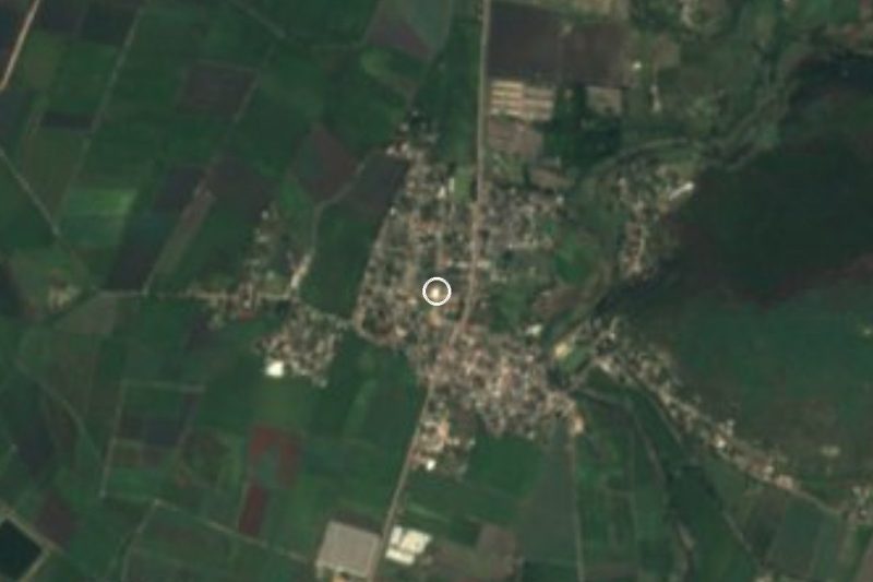

Near Benito Juárez







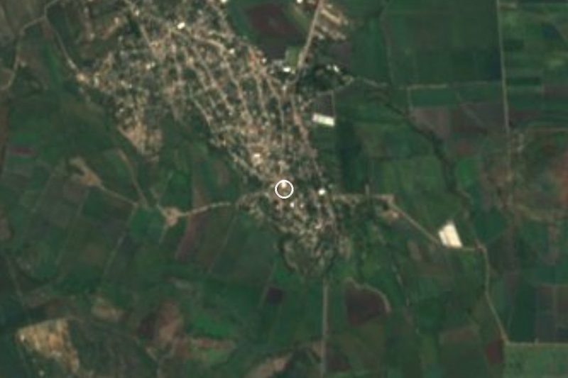
Drive times by road from OpenStreetMap, without traffic. Times marked ~ are estimated from the straight-line distance.
Location from OpenStreetMap. Written by Puebloteca.