


Landmark Cuautla, Morelos Municipality of Cuautla Monasteries on the slopes of Popocatépetl Northern Morelos
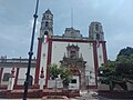
Cuautla's main parish church, a former Dominican priory finished in 1606, with a two-towered neoclassical front facing the main square.
From Cuernavaca: 50 min by car (55 km by road) How to get there ↓
Near here
See everything nearby ↓



Plan your visit to Parroquia de Santiago Apóstol de Cuautla
Where to stay near Parroquia de Santiago Apóstol de Cuautla
Compare hotels, posadas and guest houses in Parroquia de Santiago Apóstol de Cuautla.
Tours to Parroquia de Santiago Apóstol de Cuautla
Look for tours of the area around Tlayacapan that stop at Parroquia de Santiago Apóstol de Cuautla.
 Tours from Cuernavaca
3hr Cooking Class in Cuernavaca 8 Recipes and Bottomless Drinks
From US$59
How to get to Parroquia de Santiago Apóstol de Cuautla
- From Cuernavaca: about 50 min by road (~55 km)
- Nearest airport: Mexico City (MEX), 1 h 33 min by car to Tlayacapan
Links open a partner site. We may earn a commission if you book, at no cost to you.
Tours from Cuernavaca, near Parroquia de Santiago Apóstol de Cuautla


Tours, prices and ratings from Viator, checked weekly. We may earn a commission if you book.
About Parroquia de Santiago Apóstol de Cuautla
Dominican friars, based at Oaxtepec from 1528, evangelised the Amilpas villages, and in the 1580s they began a house at Santiago Cuautla that was finished in 1606, home to eight friars who served the surrounding villages. That is why the complex is also called the convent of Santo Domingo de Guzmán. The parish later passed to the secular clergy; in the 18th century it answered to the vicariate of Cuernavaca, and when Pope Leo XIII created the Diocese of Cuernavaca in 1891 it became one of its permanent vicariates. Its parish archive has been catalogued by the ADABI foundation.
Little of the 16th-century fabric survives; most of what you see dates from the 19th and 20th centuries. The neoclassical front has two tiers of plain pilasters, a central niche and a balustrade, flanked by twin three-stage towers whose top stages are octagonal, pierced by round windows and capped with conical domes. Inside is a single nave with red-painted columns and arches, two neoclassical side altars with Corinthian columns, and a high altar set in a half-dome with a crucifix between two angels. The eight-sided dome and its lantern carry four paintings, with more in roundels on the pendentives, from the late 19th or early 20th century, and two chapels open off the choir entrance.
Later works cut the old convent off from the church, and only its lower cloister of round arches remains. The former atrium became the city's main square, leaving the church a small railed forecourt hemmed in by street stalls. The earthquake of 19 September 2017 damaged the building.
How to get to Parroquia de Santiago Apóstol de Cuautla
Drive from Cuernavaca: 50 min, 55 km
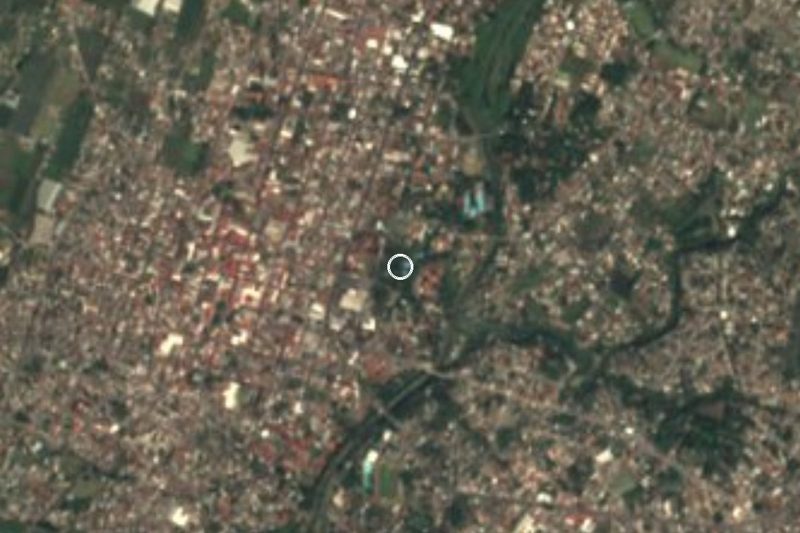
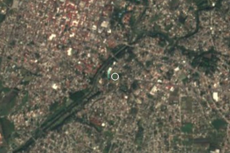
The church is on Calle Vicente Guerrero in central Cuautla, facing the main square that used to be its atrium. From Mexico City, Pullman de Morelos leaves hourly from the Terminal del Sur (Taxqueña) and takes about 90 minutes; Volcanes runs from TAPO. In Cuautla each company has its own terminal a few blocks from the centre (Pullman de Morelos on Mariano Antonio y Máximo Bravo, OCC on 2 de Mayo), so you can walk. By car it is about 100 km from the capital via the Mexico City–Cuernavaca toll road (95D) and the Oaxtepec–Cuautla road (115D); use a car park, as the streets around the square are crowded with stalls. Tlayacapan, the nearest Pueblo Mágico, is about 16 km away in a straight line (roughly 25-30 minutes by road).
Directions to Parroquia de Santiago Apóstol de Cuautla on Google Maps
Distances are in a straight line; the road is usually longer.
Links open a partner site. We may earn a commission if you book, at no cost to you.
From the nearest cities to Parroquia de Santiago Apóstol de Cuautla
- Cuernavaca · 55 km by road, 50 min
- Atlixco · 76 km by road, 55 min
- Mexico City · 110 km by road, 1 h 40 min
Drive times by road from OpenStreetMap, without traffic or stops. Times marked ~ are estimated from the straight-line distance.
Visiting Parroquia de Santiago Apóstol de Cuautla: what to see and do
Take in the neoclassical front and its octagonal towers from the square.
Step into the nave with its red-painted columns and arches.
Look up at the four paintings in the dome and those on the pendentives.
Find the crucifix flanked by two angels on the high altar.
Ask whether you can see the lower cloister of the old Dominican priory.
Walk about 450 m north to the old railway station.
Plan your trip
Places to stay in Parroquia de Santiago Apóstol de Cuautla
Compare hotels, posadas, and rentals in and around Parroquia de Santiago Apóstol de Cuautla.
Tours & activities
Look for tours of the area around Tlayacapan that stop at Parroquia de Santiago Apóstol de Cuautla.
Rental cars
Pick up a car at MEX (Mexico City): about 1 h 33 min by road to Tlayacapan, then 16 km more to Parroquia de Santiago Apóstol de Cuautla, on your own schedule.
Flights
The nearest airport with scheduled flights is Mexico City (MEX), about 1 h 33 min by road from Tlayacapan, the base for Parroquia de Santiago Apóstol de Cuautla.
Mobile data
Signal can drop away from Tlayacapan: download a map of the way to Parroquia de Santiago Apóstol de Cuautla before you set out, or carry an eSIM with data.
Links open a partner site. We may earn a commission if you book, at no cost to you.
Photos
When to go to Parroquia de Santiago Apóstol de Cuautla mild
Parroquia de Santiago Apóstol de Cuautla shares the climate of Tlayacapan, 16 km away. The best months to visit are January, February, March, and December.
See the month-by-month climate of Tlayacapan
Weather in Parroquia de Santiago Apóstol de Cuautla now and the next 7 days
Live forecast from Open-Meteo. Chance of rain is the day's highest.
The closest Pueblo Mágico: Tlayacapan

Tlayacapan is the Pueblo Mágico closest to Parroquia de Santiago Apóstol de Cuautla, with places to stay, food, and more to see.
Also close to
- Tlaltizapán · Morelos · 24 km away
- Tepoztlán · Morelos · 25 km away
- Xochitepec · Morelos · 37 km away
- Atlixco · Puebla · 56 km away
- Malinalco · Estado de México · 59 km away
Closest to Parroquia de Santiago Apóstol de Cuautla
-
Antigua estación del ferrocarril de Cuautla · Landmark · 0 km away
-
Museo del Oriente de Morelos "Casa de Morelos" · Landmark · 0 km away
-
Templo y exconvento de San Diego · Landmark · 0 km away
-
Balneario Los Limones · Hot springs · 1 km away
-
Estadio Isidro Gil Tapia · Landmark · 1 km away
-
Cuautla · City · 2 km away
-
San Pedro Apatlaco · Village · 2 km away
-
Balneario Agua Hedionda · Hot springs · 3 km away


Near Parroquia de Santiago Apóstol de Cuautla

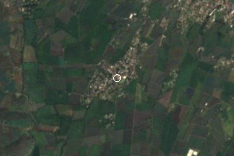

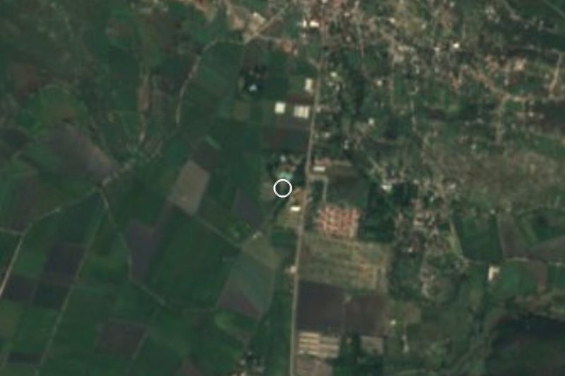
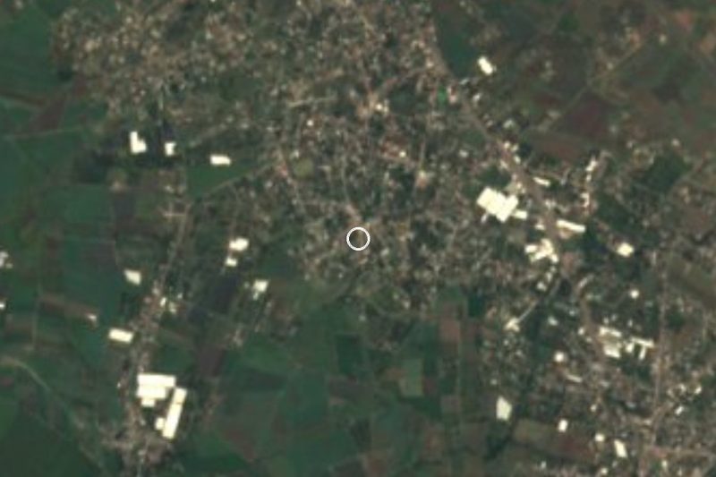
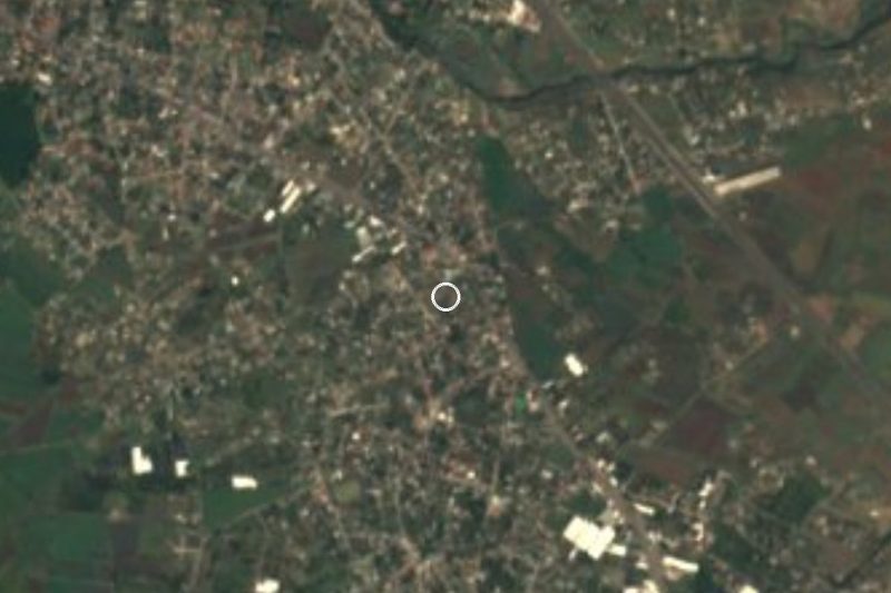
Drive times by road from OpenStreetMap, without traffic. Times marked ~ are estimated from the straight-line distance.
Location from OpenStreetMap. Written by Puebloteca.