Village Ayala, Morelos Municipality of Ayala Monasteries on the slopes of Popocatépetl Northern Morelos
A fast-growing settlement 2 km east of Ciudad Ayala, Morelos: from 2 residents in 1990 to 1,850 in 2020, at about 1,300 m.
From Cuautla: 10 min by car (7 km by road) How to get there ↓
Near here
See everything nearby ↓




Plan your visit to Las Arboledas
Where to stay near Las Arboledas
Compare hotels, posadas and guest houses in Las Arboledas.
Tours to Las Arboledas
Day trips and guided outings from Tlayacapan often include Las Arboledas; with a local guide you can get there without a car.
 Tours from Cuernavaca
3hr Cooking Class in Cuernavaca 8 Recipes and Bottomless Drinks
From US$59
How to get to Las Arboledas
- From Cuautla: about 10 min by road (~7 km)
- Nearest airport: Mexico City (MEX), 1 h 33 min by car to Tlayacapan
Links open a partner site. We may earn a commission if you book, at no cost to you.
Tours from Cuernavaca, near Las Arboledas


Tours, prices and ratings from Viator, checked weekly. We may earn a commission if you book.
About Las Arboledas
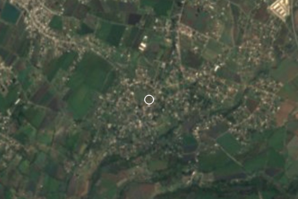
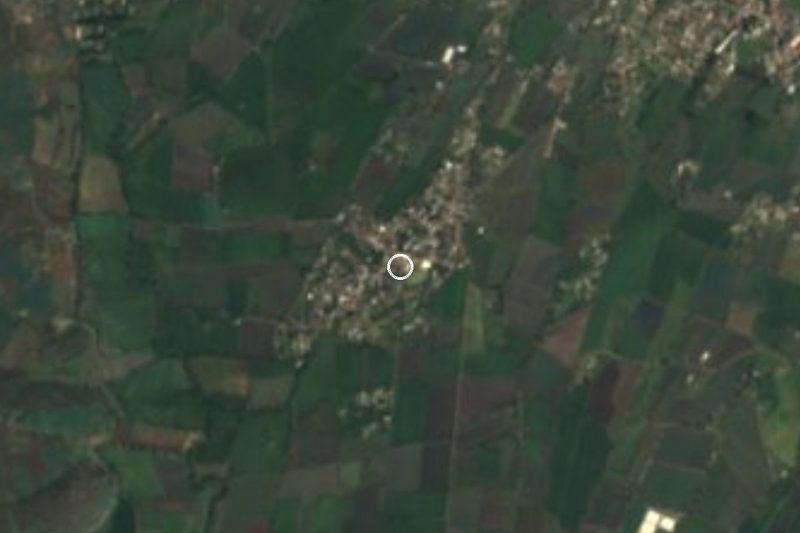
Until 2010 the census listed this place as Campo del Cimarrón (Colonia Las Arboledas), a name that points to its origin: farm fields that gradually filled with houses. The numbers show it clearly. INEGI counted 2 people in 1990, 525 in 2000, about 900 in 2005, 1,409 in 2010 and 1,850 in 2020, so almost everything standing today was built in the last twenty years.
It belongs to the municipality of Ayala, about 2.3 km east of the seat, Ciudad Ayala, as the crow flies, and sits near 1,300 m above sea level. Its nearest neighbours are other new settlements: Ampliación Reforma less than 500 m away, Ampliación Gabriel Tepepa and Reforma about a kilometre off, and La Joya to the north. Together they make a belt of colonias between Ayala and Cuautla, which is roughly 5 km away in a straight line. The 2020 figures describe somewhere still settling in: 42% of homes with piped water, 96% with electricity and nearly 88% with a mobile phone.
The setting is flat farmland with low hills to the south, El Izote (1,344 m) about 3.5 km off and La Tortuga (1,303 m) about 5 km. The climate is warm and semi-arid, averaging 21.5 °C a year, with April the hottest month (24.7 °C on average) and summer rains adding up to about 1,130 mm. There is no lodging in the village itself; the nearest hotels and motels are about 4 km to the northeast, toward Cuautla.
How to get to Las Arboledas
Drive from Cuautla: 10 min, 7 km
From Mexico City the practical move is to reach Cuautla first: by car along federal highway 115 from the Amecameca area (highway 160 joins 115 at Cuautlixco, just north of the city); by bus with Pullman de Morelos from the Terminal Sur (Taxqueña) or Volcanes from TAPO; check departures before you go. From Cuautla, Las Arboledas is about 5 km southwest in a straight line, toward Ciudad Ayala; on local streets and roads that is about 10 minutes by car.
Without a car, the usual way here is a colectivo or combi from Cuautla to Ciudad Ayala and then a short taxi of about 2 km; we found no published timetable, so ask at the stop. From Tlayacapan, the nearest pueblo on our list, it is about 19 km as the crow flies and about 40 minutes by road, passing through Cuautla. There is no lodging in the village: the closest hotels are about 4 km to the northeast.
Directions to Las Arboledas on Google Maps
Distances are in a straight line; the road is usually longer.
Links open a partner site. We may earn a commission if you book, at no cost to you.
From the nearest cities to Las Arboledas
- Cuautla · 7 km by road, 10 min
- Cuernavaca · 59 km by road, 55 min
- Atlixco · 75 km by road, 1 h
Drive times by road from OpenStreetMap, without traffic or stops. Times marked ~ are estimated from the straight-line distance.
Visiting Las Arboledas: what to see and do
Walk the new streets and the fields still around them.
Head to the neighbouring colonias of Reforma and Ampliación Reforma.
Climb the hill of El Izote, about 3.5 km south, for a view over the Ayala plain.
Visit Ciudad Ayala, 2 km west, and its centre.
Go on to Cuautla, about 5 km away, for a meal and a bed.
Plan your trip
Places to stay in Las Arboledas
Compare hotels, posadas, and rentals in and around Las Arboledas.
Tours & activities
Day trips and guided outings from Tlayacapan often include Las Arboledas; with a local guide you can get there without a car.
Rental cars
Pick up a car at MEX (Mexico City): about 1 h 33 min by road to Tlayacapan, then 19 km more to Las Arboledas, on your own schedule.
Flights
The nearest airport with scheduled flights is Mexico City (MEX), about 1 h 33 min by road from Tlayacapan, the base for Las Arboledas.
Mobile data
Signal can drop away from Tlayacapan: download a map of the way to Las Arboledas before you set out, or carry an eSIM with data.
Links open a partner site. We may earn a commission if you book, at no cost to you.
When to go to Las Arboledas mild
Las Arboledas shares the climate of Tlayacapan, 19 km away. The best months to visit are January, February, March, and December.
See the month-by-month climate of Tlayacapan
Weather in Las Arboledas now and the next 7 days
Live forecast from Open-Meteo. Chance of rain is the day's highest.
The closest Pueblo Mágico: Tlayacapan

Tlayacapan is the Pueblo Mágico closest to Las Arboledas, with places to stay, food, and more to see.
Also close to
- Tlaltizapán · Morelos · 24 km away
- Tepoztlán · Morelos · 28 km away
- Xochitepec · Morelos · 39 km away
- Atlixco · Puebla · 56 km away
- Malinalco · Estado de México · 62 km away
Closest to Las Arboledas
-
San Pedro Apatlaco · Village · 2 km away
-
Balneario Los Limones · Hot springs · 3 km away
-
Benito Juárez · Village · 3 km away
-
Estadio Isidro Gil Tapia · Landmark · 3 km away
-
Juan Morales · Village · 3 km away
-
Museo del Oriente de Morelos "Casa de Morelos" · Landmark · 3 km away
-
Parroquia de Santiago Apóstol de Cuautla · Landmark · 3 km away
-
Anenecuilco · Town · 4 km away


Near Las Arboledas



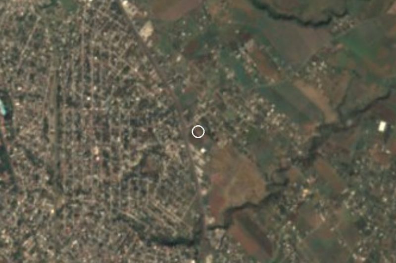

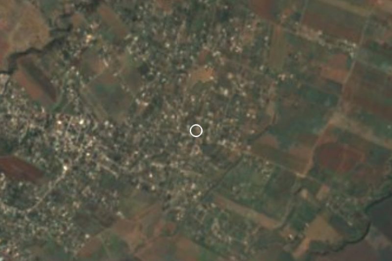


Drive times by road from OpenStreetMap, without traffic. Times marked ~ are estimated from the straight-line distance.
Location from OpenStreetMap. Written by Puebloteca.