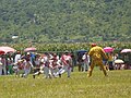
Village Ayala, Morelos Municipality of Ayala
Village in Ayala at 1,205 m, a short hop from Tenextepango, named for the Revolution general Constancio Farfán. 2,148 residents in 2020.
From Cuautla: 15 min by car (12 km by road) How to get there ↓
Near here
See everything nearby ↓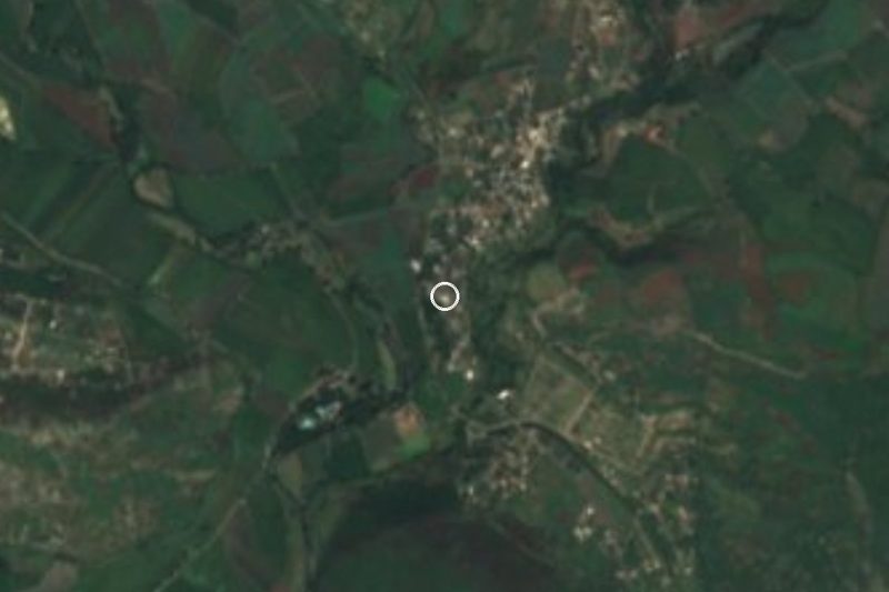

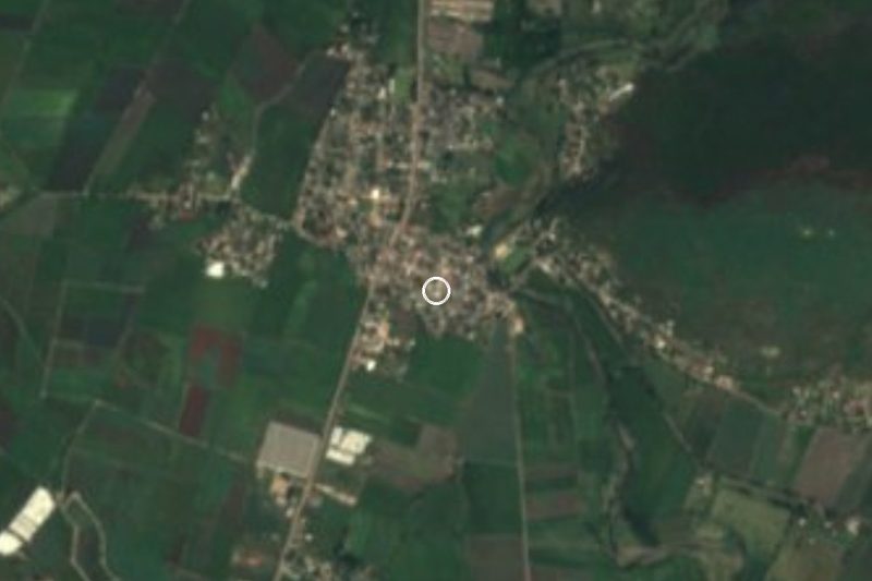
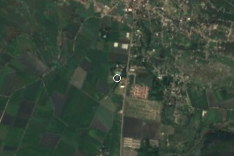

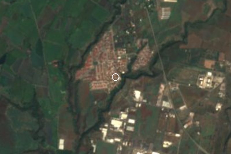
Plan your visit to Constancio Farfán
Where to stay near Constancio Farfán
Compare hotels, posadas and guest houses in Constancio Farfán.
Tours to Constancio Farfán
Day trips and guided outings from Tlaltizapán often include Constancio Farfán; with a local guide you can get there without a car.
 Tours from Cuernavaca
3hr Cooking Class in Cuernavaca 8 Recipes and Bottomless Drinks
From US$59
How to get to Constancio Farfán
- From Cuautla: about 15 min by road (~12 km)
- Nearest airport: Mexico City (MEX), 1 h 55 min by car to Tlaltizapán
Links open a partner site. We may earn a commission if you book, at no cost to you.
Tours from Cuernavaca, near Constancio Farfán


Tours, prices and ratings from Viator, checked weekly. We may earn a commission if you book.
About Constancio Farfán
The village honours Constancio Farfán Campos, a soldier of the Mexican Revolution who came from neighbouring Tenextepango. It lies in the municipality of Ayala, in the Cuautla valley, at 1,205 m above sea level, and some listings still show its earlier name, La Pascuala.
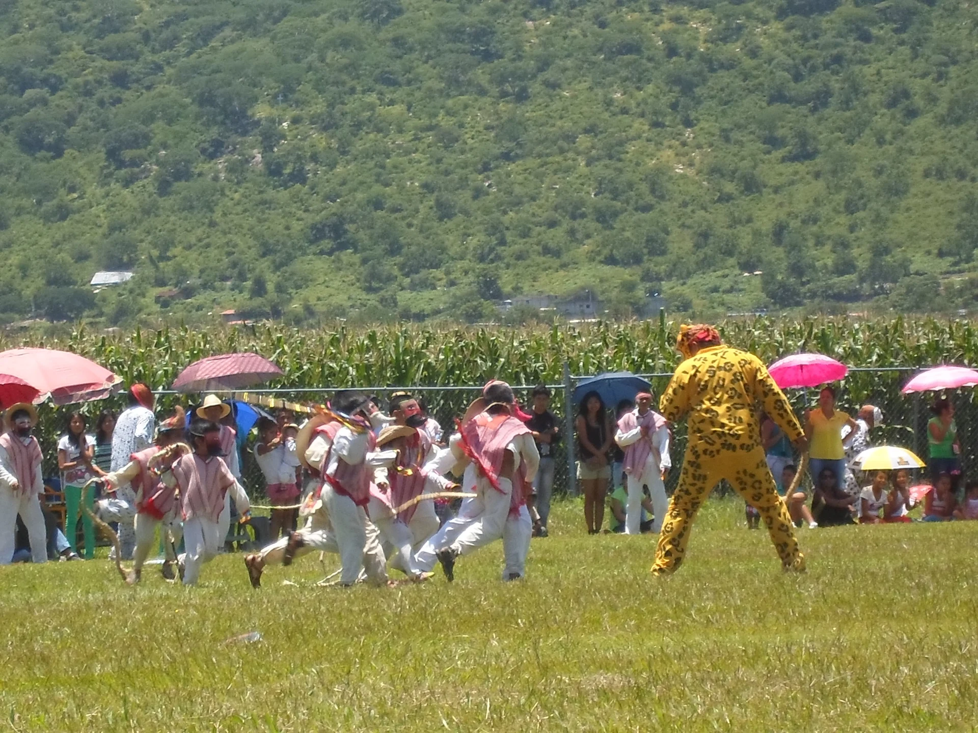
INEGI counted 843 residents in 1990, 1,563 in 2000, 1,958 in 2010 and 2,148 in 2020: steady growth with no jumps, as in a farming village that has spread out along its road. The nearest landmark is Tenextepango, about 1.5 km away in a straight line and much older. Its Nahuatl name, tenex-tepan-co, means "place of lime walls" and describes a valley ringed by hills; it had a sugar mill that was caught up in the war (a Commons caption says it was dynamited in 1913), and today it holds the feast of Santiago Apóstol on 25 July, with sawdust carpets, and the tecuanes dance.
Constancio Farfán itself has no monuments or formal sights, so it is best to say so plainly: you come through on the way to Tenextepango and the other villages of southern Ayala, or to see everyday life in a community of eastern Morelos. Cuautla, the nearest city, is about 10 km away in a straight line, and the 19 Oriente transport route includes a Cuautla–Constancio Farfán–Cuautla run.
How to get to Constancio Farfán
Drive from Cuautla: 15 min, 12 km
Constancio Farfán is about 10 km south of Cuautla in a straight line, the natural base; by road allow roughly 15 to 25 minutes (an automated estimator gives about 22 km and 23 minutes to Tenextepango, the closest neighbour, so expect something similar). From Cuautla take the road that drops towards Ayala and Tenextepango; Tenextepango's main avenue is named Constancio Farfán, which helps with orientation. From Mexico City you reach Cuautla first, on the Mexico–Cuautla toll road (115D), about 95 km.
By public transport, buses to Cuautla leave from the Terminal Sur (Taxqueña), with Pullman de Morelos the main line, in about 2 hours. In Cuautla the 19 Oriente urban route includes a Cuautla–Constancio Farfán–Cuautla run and another to Tenextepango; the Movilidad Morelos site lists them but publishes no times or fares, so ask in Cuautla where to board. From Tlaltizapán, the nearest pueblo on our map (21 km straight line), it is easier to go back through Cuautla.
Directions to Constancio Farfán on Google Maps
Distances are in a straight line; the road is usually longer.
Links open a partner site. We may earn a commission if you book, at no cost to you.
From the nearest cities to Constancio Farfán
- Cuautla · 12 km by road, 15 min
- Cuernavaca · 64 km by road, 1 h
- Atlixco · 79 km by road, 1 h 10 min
Drive times by road from OpenStreetMap, without traffic or stops. Times marked ~ are estimated from the straight-line distance.
Visiting Constancio Farfán: what to see and do
Walk the village streets and plaza in the late afternoon, when people are out.
Continue to Tenextepango, about 1.5 km away, and look at the Santiago Apóstol church.
Go to Tenextepango on 25 July for the feast, with sawdust carpets.
Look for the tecuanes dance, typical of the region, at Tenextepango festivals.
Take in the cornfields and the hills that ring the Ayala valley.
Use Cuautla's closeness for a meal before moving on.
Plan your trip
Places to stay in Constancio Farfán
Compare hotels, posadas, and rentals in and around Constancio Farfán.
Tours & activities
Day trips and guided outings from Tlaltizapán often include Constancio Farfán; with a local guide you can get there without a car.
Rental cars
Pick up a car at MEX (Mexico City): about 1 h 55 min by road to Tlaltizapán, then 21 km more to Constancio Farfán, on your own schedule.
Flights
The nearest airport with scheduled flights is Mexico City (MEX), about 1 h 55 min by road from Tlaltizapán, the base for Constancio Farfán.
Mobile data
Signal can drop away from Tlaltizapán: download a map of the way to Constancio Farfán before you set out, or carry an eSIM with data.
Links open a partner site. We may earn a commission if you book, at no cost to you.
When to go to Constancio Farfán warm
Constancio Farfán shares the climate of Tlaltizapán, 21 km away. The best months to visit are January, October, November, and December.
See the month-by-month climate of Tlaltizapán
Weather in Constancio Farfán now and the next 7 days
Live forecast from Open-Meteo. Chance of rain is the day's highest.
The closest Pueblo Mágico: Tlaltizapán

Tlaltizapán is the Pueblo Mágico closest to Constancio Farfán, with places to stay, food, and more to see.
Also close to
- Tlayacapan · Morelos · 24 km away
- Tepoztlán · Morelos · 31 km away
- Xochitepec · Morelos · 38 km away
- Atlixco · Puebla · 59 km away
- Malinalco · Estado de México · 62 km away
Closest to Constancio Farfán
-
Benito Juárez · Village · 2 km away
-
Tenextepango · Village · 2 km away
-
Abelardo L. Rodríguez · Village · 3 km away
-
Balneario "El Axocochetl" · Hot springs · 4 km away
-
Ciudad Ayala · Town · 4 km away
-
Diez de Abril · Village · 4 km away
-
Olintepec · Village · 4 km away
-
San Juan Ahuehueyo · Village · 4 km away
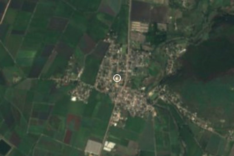

Near Constancio Farfán


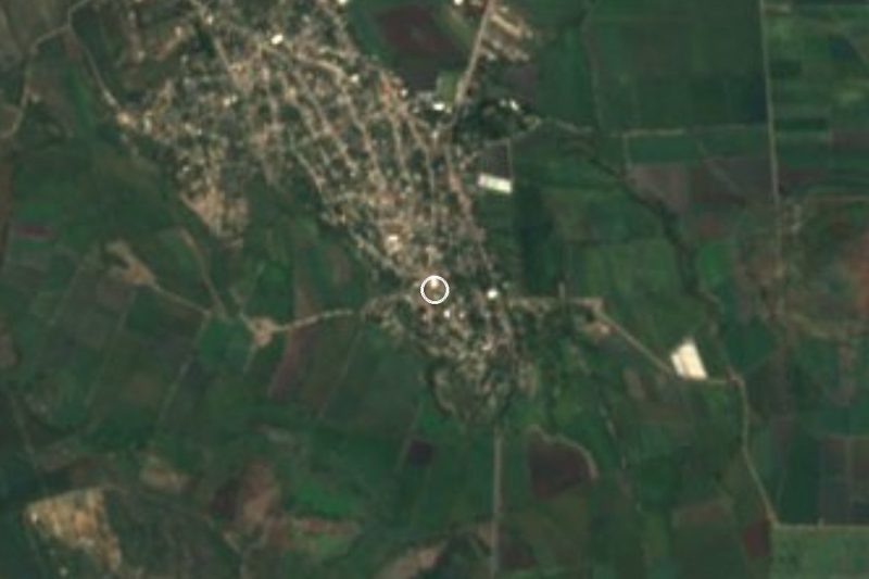
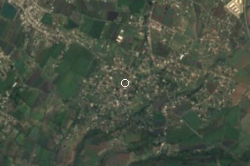
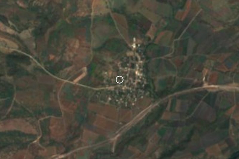






Drive times by road from OpenStreetMap, without traffic. Times marked ~ are estimated from the straight-line distance.
Location from OpenStreetMap. Written by Puebloteca.