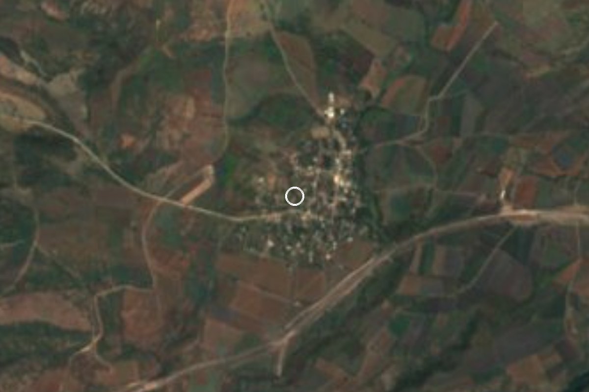
Village Ayala, Morelos Municipality of Ayala Southern Morelos
Ayala locality at 1,118 m, 1,355 residents in 2020; neighbour of Zacapalco and San Vicente de Juárez, south of Cuautla.
From Cuautla: 30 min by car (23 km by road) How to get there ↓
Near here
See everything nearby ↓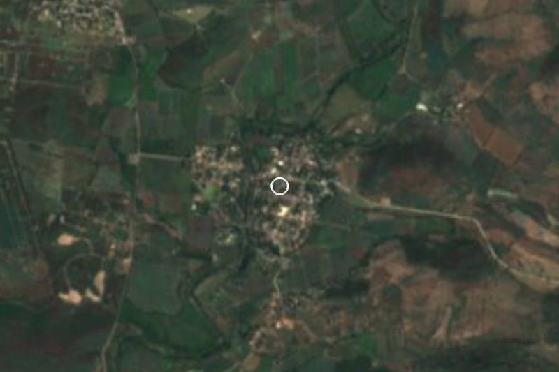
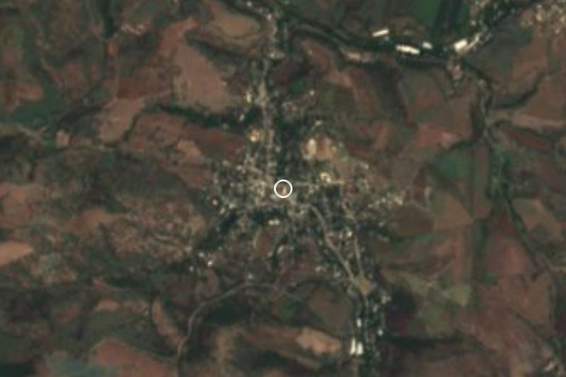
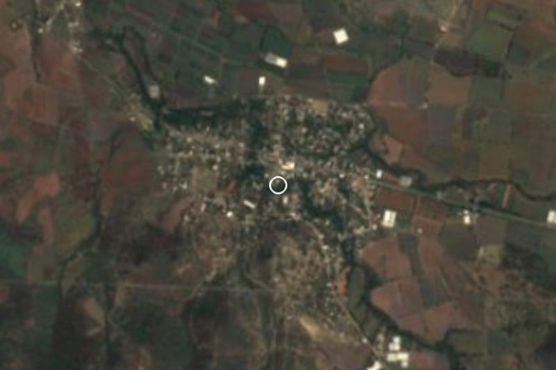

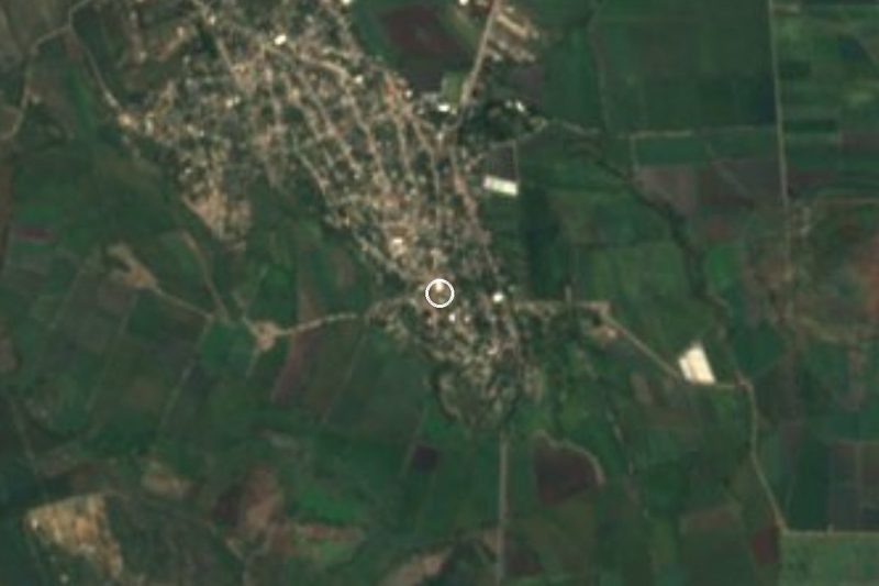
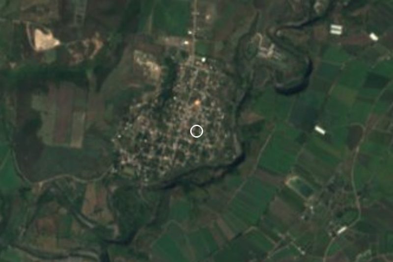
Plan your visit to El Salitre
Where to stay near El Salitre
Compare hotels, posadas and guest houses in El Salitre.
Tours to El Salitre
Day trips and guided outings from Tlaltizapán often include El Salitre; with a local guide you can get there without a car.
 Tours from Cuernavaca
3hr Cooking Class in Cuernavaca 8 Recipes and Bottomless Drinks
From US$59
How to get to El Salitre
- From Cuautla: about 30 min by road (~23 km)
- Nearest airport: Mexico City (MEX), 1 h 55 min by car to Tlaltizapán
Links open a partner site. We may earn a commission if you book, at no cost to you.
Tours from Cuernavaca, near El Salitre


Tours, prices and ratings from Viator, checked weekly. We may earn a commission if you book.
About El Salitre
In 2005 El Salitre had 915 residents; by 2010 there were 1,104 and in 2020, 1,355, according to the INEGI censuses. That ranks it 17th of the 149 localities of the municipality of Ayala, in southern Morelos. In 2020 it had 367 occupied homes, nearly 9 in 10 people had a mobile phone, and the fertility rate had fallen from 6.2 children per woman in 2010 to 2.65.
It stands at 1,118 m above sea level, about 13 km in a straight line from Ciudad Ayala, the municipal seat, and about 17 km from Cuautla. The climate is hot and semi-arid: annual mean 23 °C, lows of around 7 °C on the coldest days, and over 1,000 mm of rain a year, nearly all of it between June and September. Small hills ring the village, among them El Mirador (1,212 m) and Cerro Dimas (1,142 m), a little over 1 km to the northwest, with Loma Larga and Las Trincheras further out.
Its nearest neighbours are Palo Blanco (493 residents), 3 km east, San Vicente de Juárez, known as Las Piedras (1,485), 3 km north, and Zacapalco (1,833), about 4 km off. Eateries and restaurants of the area are in San Juan Ahuehueyo, Tenextepango and Moyotepec.
Old photographs of the area show an old bridge and the General Francisco Leyva reservoir; there are no hotels in the village.
How to get to El Salitre
Drive from Cuautla: 30 min, 23 km
Cuautla is the reference point, about 17 km in a straight line (approx. 25 to 35 minutes by car, depending on the road). From Mexico City take the 115D or federal highway 115 to Cuautla, then head south toward Ciudad Ayala and the villages of the south of the municipality (San Pedro Apatlaco, Tenextepango, San Juan Ahuehueyo); El Salitre lies to the south, toward San Vicente de Juárez and Palo Blanco. From Cuernavaca an Estrella Roja de Cuautla bus runs hourly to Cuautla. The last stretch is on local roads: check the route on a map or ask in Ayala.
By public transport, Pullman de Morelos and other lines reach the Cuautla bus station from Terminal Sur (Taxqueña) and TAPO; from there take a colectivo to Ciudad Ayala or Anenecuilco, then a taxi. A taxi from Cuautla to Anenecuilco, within the municipality, takes about 18 minutes. Tlaltizapán, the nearest Pueblo Mágico, is about 25 km away (approx. 27 minutes by car). We found no direct line to El Salitre, so confirm local routes.
Directions to El Salitre on Google Maps
Distances are in a straight line; the road is usually longer.
Links open a partner site. We may earn a commission if you book, at no cost to you.
From the nearest cities to El Salitre
- Cuautla · 23 km by road, 30 min
- Cuernavaca · 73 km by road, 1 h 10 min
- Atlixco · 89 km by road, 1 h 10 min
Drive times by road from OpenStreetMap, without traffic or stops. Times marked ~ are estimated from the straight-line distance.
Visiting El Salitre: what to see and do
Climb El Mirador hill (1,212 m), a little over 1 km to the northwest.
Walk to Cerro Dimas (1,142 m) for a view over the Ayala valley.
Visit Palo Blanco, about 3 km to the east.
Eat in Tenextepango or San Juan Ahuehueyo, the nearest towns with restaurants.
Reach Ciudad Ayala, about 13 km away, and Anenecuilco, birthplace of Emiliano Zapata.
Plan your trip
Places to stay in El Salitre
Compare hotels, posadas, and rentals in and around El Salitre.
Tours & activities
Day trips and guided outings from Tlaltizapán often include El Salitre; with a local guide you can get there without a car.
Rental cars
Pick up a car at MEX (Mexico City): about 1 h 55 min by road to Tlaltizapán, then 19 km more to El Salitre, on your own schedule.
Flights
The nearest airport with scheduled flights is Mexico City (MEX), about 1 h 55 min by road from Tlaltizapán, the base for El Salitre.
Mobile data
Signal can drop away from Tlaltizapán: download a map of the way to El Salitre before you set out, or carry an eSIM with data.
Links open a partner site. We may earn a commission if you book, at no cost to you.
When to go to El Salitre warm
El Salitre shares the climate of Tlaltizapán, 19 km away. The best months to visit are January, October, November, and December.
See the month-by-month climate of Tlaltizapán
Weather in El Salitre now and the next 7 days
Live forecast from Open-Meteo. Chance of rain is the day's highest.
The closest Pueblo Mágico: Tlaltizapán

Tlaltizapán is the Pueblo Mágico closest to El Salitre, with places to stay, food, and more to see.
Also close to
- Tlayacapan · Morelos · 31 km away
- Tepoztlán · Morelos · 38 km away
- Xochitepec · Morelos · 39 km away
- Atlixco · Puebla · 62 km away
- Malinalco · Estado de México · 65 km away
Closest to El Salitre
-
San Vicente de Juárez · Village · 3 km away
-
Zacapalco · Village · 4 km away
-
Huitchila · Village · 5 km away
-
San Juan Ahuehueyo · Village · 5 km away
-
Moyotepec · Village · 6 km away
-
San Rafael Zaragoza · Village · 6 km away
-
Tenextepango · Village · 6 km away
-
Abelardo L. Rodríguez · Village · 7 km away

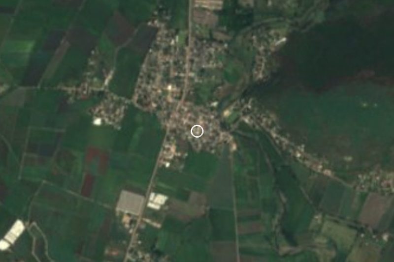
Near El Salitre


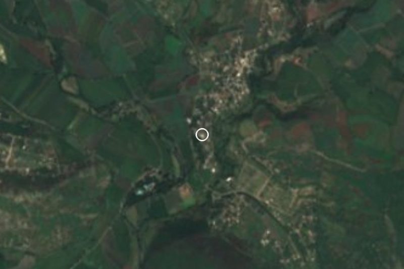
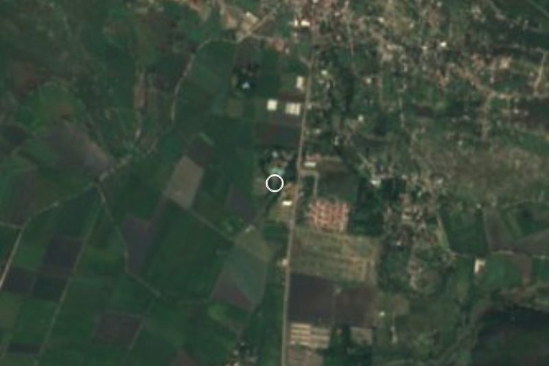
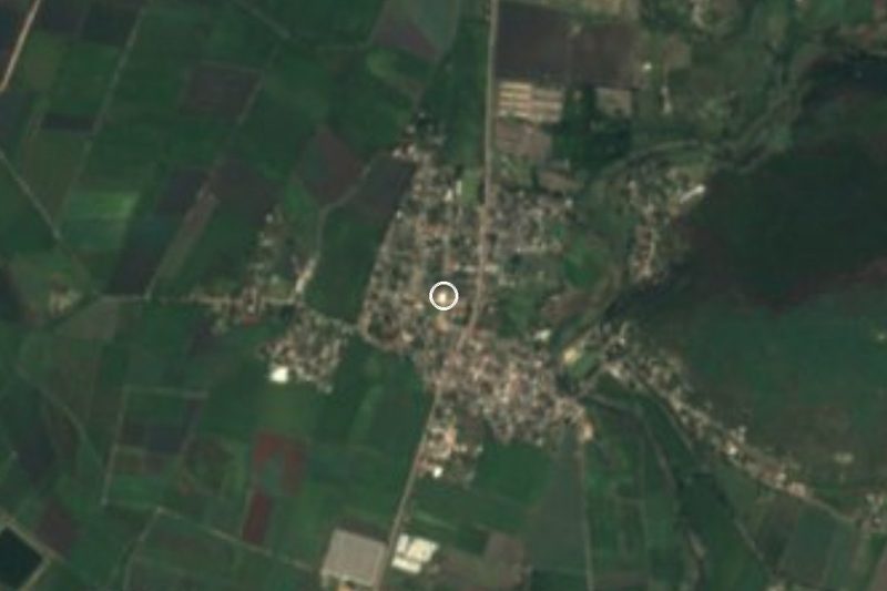


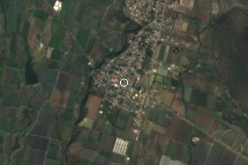

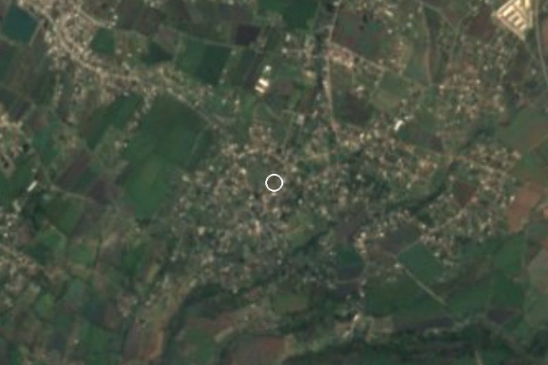

Drive times by road from OpenStreetMap, without traffic. Times marked ~ are estimated from the straight-line distance.
Location from OpenStreetMap. Written by Puebloteca.