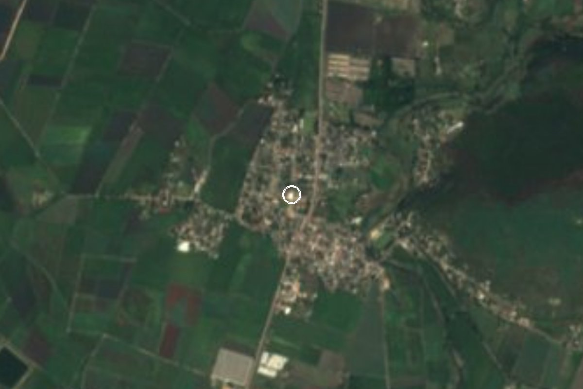
Village Ayala, Morelos Municipality of Ayala Southern Morelos
Village of 1,656 people in Ayala, at 1,164 m, south of San Pedro Apatlaco. The archaeological site has its own page.
From Cuautla: 15 min by car (12 km by road) How to get there ↓
Near here
See everything nearby ↓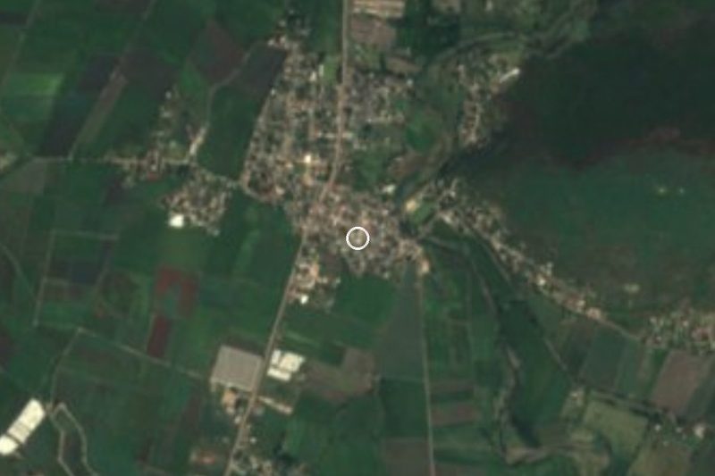



Plan your visit to Olintepec
Where to stay near Olintepec
Compare hotels, posadas and guest houses in Olintepec.
Tours to Olintepec
Day trips and guided outings from Tlaltizapán often include Olintepec; with a local guide you can get there without a car.
How to get to Olintepec
- From Cuautla: about 15 min by road (~12 km)
- Nearest airport: Mexico City (MEX), 1 h 55 min by car to Tlaltizapán
Links open a partner site. We may earn a commission if you book, at no cost to you.
About Olintepec
Olintepec, "place of the trembling hill" in Nahuatl (from olin, movement or tremor, and tepetl, hill), is today a village in the municipality of Ayala with 1,656 inhabitants in the 2020 census. It had 1,827 in 2010 and 1,390 in 2005, so the population fell over the last decade. It sits at about 1,164 metres above sea level, 3 km in a straight line south of San Pedro Apatlaco, the largest locality in the municipality, and 6.5 km southwest of Ciudad Ayala, the seat.
The climate is warm with summer rain: the mean annual temperature is around 22.5 C, January is the coolest month (about 20 C) and April the hottest (almost 26 C), and roughly 1,000 mm of rain fall a year, mostly in September. In the 2020 census 12.5 percent of residents identified as indigenous and 8.6 percent spoke an indigenous language; 27 percent were born outside Morelos. The postal code is 62713.
What sets this village apart is the archaeological site that carries its name, with more than three thousand years of occupation, covered on its own page; here we deal with the village and how to reach it. It suits someone already around Cuautla and Ayala who wants to see a farming village of eastern Morelos, with no formal tourist services: bring water and check hours before you go.
How to get to Olintepec
Drive from Cuautla: 15 min, 12 km
Olintepec lies south of Cuautla. According to INAH, there are two routes from Cuautla: the road to Villa de Ayala is 12 km, and the Cuautla-Tlaltizapán state road about 9 km; by car allow about 15 to 20 minutes from central Cuautla. From Ciudad Ayala it is 6.5 km southwest in a straight line.
From Mexico City the usual way is to go to Cuautla by bus first: Pullman de Morelos leaves the Terminal Sur (Taxqueña) and Volcanes leaves TAPO. In Cuautla, ask at the terminal for transport toward Villa de Ayala and ask to be let off at Olintepec or Nueva Olintepec; INAH says public transport serves the area but publishes no routes or operators, so confirm with the drivers. From Tlaltizapán, the nearest pueblo on our list, it is about 17 km in a straight line (about 20 minutes by car).
Directions to Olintepec on Google Maps
Distances are in a straight line; the road is usually longer.
Links open a partner site. We may earn a commission if you book, at no cost to you.
From the nearest cities to Olintepec
- Cuautla · 12 km by road, 15 min
- Cuernavaca · 65 km by road, 1 h
- Atlixco · 85 km by road, 1 h 5 min
Drive times by road from OpenStreetMap, without traffic or stops. Times marked ~ are estimated from the straight-line distance.
Visiting Olintepec: what to see and do
Walk the village streets and look at the hills that give it its name.
Visit the Olintepec archaeological site; it has its own page in this guide.
Continue to Ciudad Ayala, 6.5 km away, for its plaza and San José church.
Bring water and a hat: April and May heat is strong.
Plan your trip
Places to stay in Olintepec
Compare hotels, posadas, and rentals in and around Olintepec.
Tours & activities
Day trips and guided outings from Tlaltizapán often include Olintepec; with a local guide you can get there without a car.
Rental cars
Pick up a car at MEX (Mexico City): about 1 h 55 min by road to Tlaltizapán, then 17 km more to Olintepec, on your own schedule.
Flights
The nearest airport with scheduled flights is Mexico City (MEX), about 1 h 55 min by road from Tlaltizapán, the base for Olintepec.
Mobile data
Signal can drop away from Tlaltizapán: download a map of the way to Olintepec before you set out, or carry an eSIM with data.
Links open a partner site. We may earn a commission if you book, at no cost to you.
When to go to Olintepec warm
Olintepec shares the climate of Tlaltizapán, 17 km away. The best months to visit are January, October, November, and December.
See the month-by-month climate of Tlaltizapán
Weather in Olintepec now and the next 7 days
Live forecast from Open-Meteo. Chance of rain is the day's highest.
The closest Pueblo Mágico: Tlaltizapán

Tlaltizapán is the Pueblo Mágico closest to Olintepec, with places to stay, food, and more to see.
Also close to
- Tlayacapan · Morelos · 24 km away
- Tepoztlán · Morelos · 30 km away
- Xochitepec · Morelos · 34 km away
- Malinalco · Estado de México · 59 km away
- Atlixco · Puebla · 62 km away
Closest to Olintepec
-
Abelardo L. Rodríguez · Village · 0 km away
-
Zona Arqueológica de Olintepec · Archaeological site · 0 km away
-
Balneario "El Axocochetl" · Hot springs · 1 km away
-
Ciudad Ayala · Town · 3 km away
-
Moyotepec · Village · 3 km away
-
Tenextepango · Village · 3 km away
-
Anenecuilco · Town · 4 km away
-
Benito Juárez · Village · 4 km away

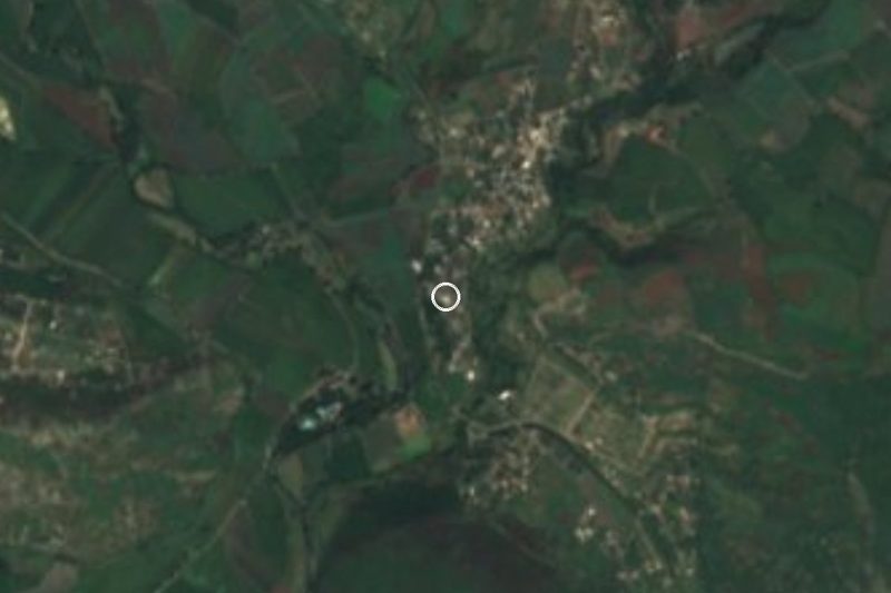
Near Olintepec

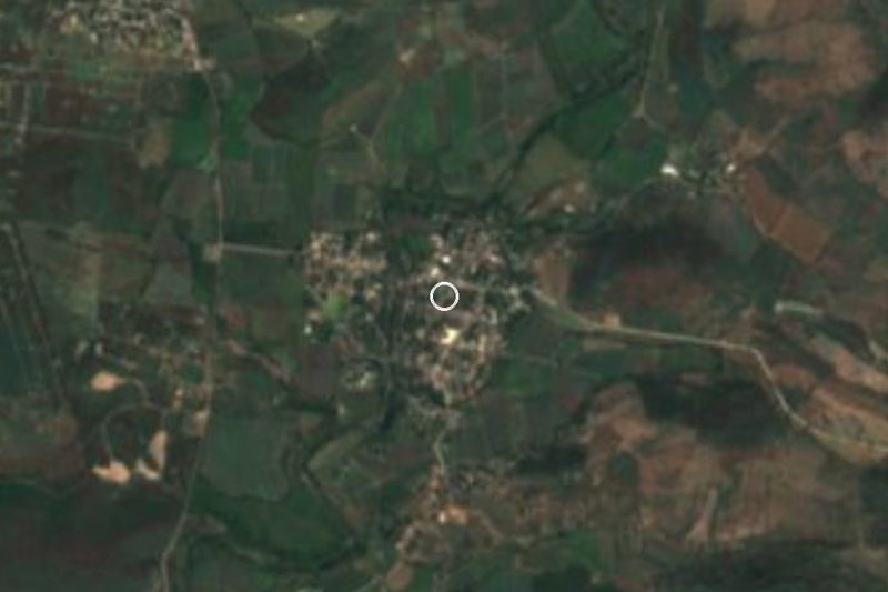



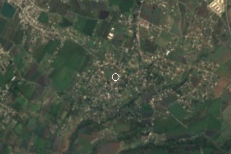


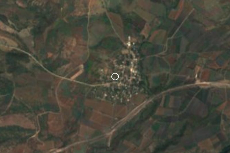
Drive times by road from OpenStreetMap, without traffic. Times marked ~ are estimated from the straight-line distance.
Location from OpenStreetMap. Written by Puebloteca.