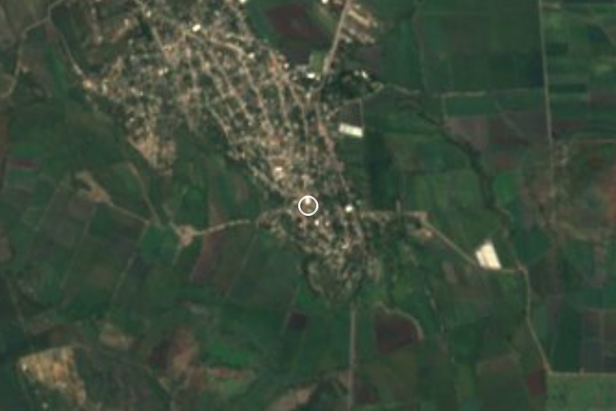
Village Ayala, Morelos Municipality of Ayala Southern Morelos
Pueblo in the municipality of Ayala with nearly 4,000 people, in Morelos's cane country; its main fiesta is Three Kings on 6 January.
From Cuautla: 20 min by car (15 km by road) How to get there ↓
Near here
See everything nearby ↓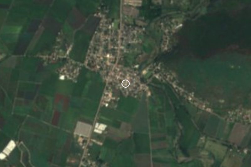

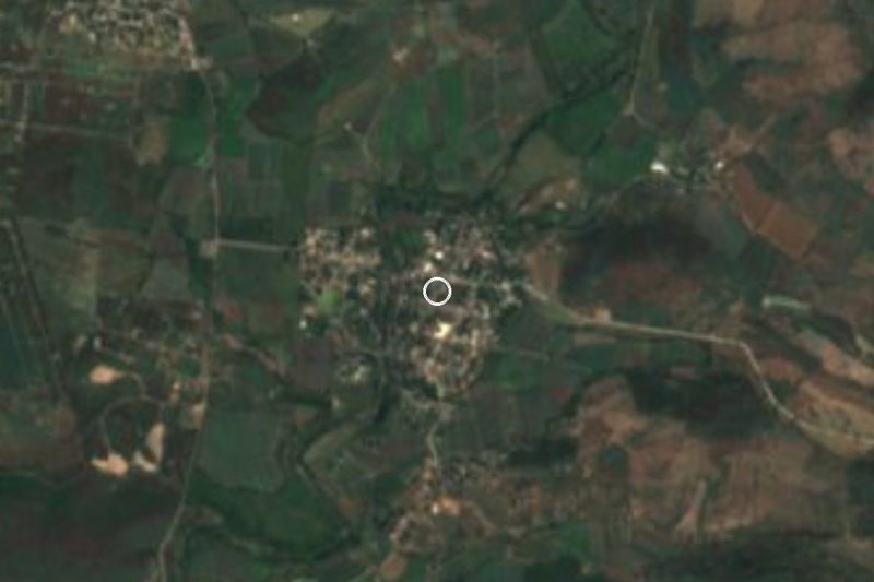

Plan your visit to Moyotepec
Where to stay near Moyotepec
Compare hotels, posadas and guest houses in Moyotepec.
Tours to Moyotepec
Day trips and guided outings from Tlaltizapán often include Moyotepec; with a local guide you can get there without a car.
 Tours from Cuernavaca
3hr Cooking Class in Cuernavaca 8 Recipes and Bottomless Drinks
From US$59
How to get to Moyotepec
- From Cuautla: about 20 min by road (~15 km)
- Nearest airport: Mexico City (MEX), 1 h 55 min by car to Tlaltizapán
Links open a partner site. We may earn a commission if you book, at no cost to you.
Tours from Cuernavaca, near Moyotepec


Tours, prices and ratings from Viator, checked weekly. We may earn a commission if you book.
About Moyotepec
Moyotepec, in the municipality of Ayala, had 3,949 inhabitants in the 2020 census (3,677 in 2010), and its people are called moyotecos. The name is Nahuatl, from moyotl, mosquito, and tepetl, hill: on the hill of the mosquitoes. It lies at roughly 1,160 m above sea level according to Pueblos de América, although the Wikipedia entry gives two different figures.
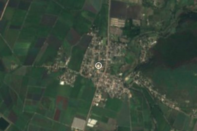
The village is about 9 km from Ciudad Ayala, the municipal seat, and 5.5 km from San Pedro Apatlaco, the largest locality in the municipality, home to the ex-hacienda of Coahuixtla, built in 1587 by Dominican friars. Ayala is a land of sugar cane, rice, maize, sorghum, onions and vegetables, and of spa resorts, and Moyotepec sits inside that farming landscape. Hills such as Cerro Jumil, 2.7 km away, and Olinche, 3.9 km away, rise nearby.
The main fiesta is the Santos Reyes, on 6 January. This is a place of everyday life rather than a visitor attraction: we found no hotels or catalogued sights, and the appeal is seeing an ordinary village of the Morelos plain, about half an hour from Cuautla and about 20 minutes from Tlaltizapán, the Pueblo Mágico that holds Zapata's Cuartel General.
How to get to Moyotepec
Drive from Cuautla: 20 min, 15 km
By car from Cuautla (about 13 km in a straight line, roughly 20 to 30 minutes by road): take the road toward Villa de Ayala (Ciudad Ayala) and from there the road to Moyotepec, or the state road Cuautla-Tlaltizapán; those are the two approaches INAH gives for the area, which lies near the Ayala-Moyotepec road. A Morelos guidebook has Moyotepec about 15 km east of Las Estacas and 16 km south of Cuautla. The Chinameca-Moyotepec road also reaches the village. From Mexico City you reach Cuautla by the 115D Mexico-Cuautla toll road, which is the starting point.
By public transport: buses from TAPO to Cuautla, then a combi or taxi in Cuautla to Ciudad Ayala and on to Moyotepec; ask at the departure point for Ayala, as we found no published routes or fares. Tlaltizapán, the nearest pueblo we list, is about 16 km away in a straight line (about 20 minutes by car).
Directions to Moyotepec on Google Maps
Distances are in a straight line; the road is usually longer.
Links open a partner site. We may earn a commission if you book, at no cost to you.
From the nearest cities to Moyotepec
- Cuautla · 15 km by road, 20 min
- Cuernavaca · 67 km by road, 1 h 5 min
- Atlixco · 88 km by road, 1 h 10 min
Drive times by road from OpenStreetMap, without traffic or stops. Times marked ~ are estimated from the straight-line distance.
Before you go to Moyotepec: hours, prices and tips
- Best season
- The main fiesta is Fiesta de los Tres Reyes Magos on 6 January. Wikipedia (es) · checked Oct 2026
Hours and prices change, especially around holidays. Each fact links to where we checked it.
Visiting Moyotepec: what to see and do
Walk the village centre during the Three Kings fiesta on 6 January.
Look out at the hills around the plain, such as Jumil and Olinche.
Visit the ex-hacienda of Coahuixtla in San Pedro Apatlaco, 5.5 km away, built in 1587 by Dominican friars.
Continue to Ciudad Ayala and Anenecuilco, birthplace of Emiliano Zapata, in the same region.
Drive to Tlaltizapán, about 20 minutes off, for Zapata's Cuartel General.
Plan your trip
Places to stay in Moyotepec
Compare hotels, posadas, and rentals in and around Moyotepec.
Tours & activities
Day trips and guided outings from Tlaltizapán often include Moyotepec; with a local guide you can get there without a car.
Rental cars
Pick up a car at MEX (Mexico City): about 1 h 55 min by road to Tlaltizapán, then 16 km more to Moyotepec, on your own schedule.
Flights
The nearest airport with scheduled flights is Mexico City (MEX), about 1 h 55 min by road from Tlaltizapán, the base for Moyotepec.
Mobile data
Signal can drop away from Tlaltizapán: download a map of the way to Moyotepec before you set out, or carry an eSIM with data.
Links open a partner site. We may earn a commission if you book, at no cost to you.
When to go to Moyotepec warm
Moyotepec shares the climate of Tlaltizapán, 16 km away. The best months to visit are January, October, November, and December.
See the month-by-month climate of Tlaltizapán
Weather in Moyotepec now and the next 7 days
Live forecast from Open-Meteo. Chance of rain is the day's highest.
The closest Pueblo Mágico: Tlaltizapán

Tlaltizapán is the Pueblo Mágico closest to Moyotepec, with places to stay, food, and more to see.
Also close to
- Tlayacapan · Morelos · 26 km away
- Tepoztlán · Morelos · 32 km away
- Xochitepec · Morelos · 34 km away
- Malinalco · Estado de México · 59 km away
- Atlixco · Puebla · 63 km away
Closest to Moyotepec
-
Abelardo L. Rodríguez · Village · 2 km away
-
Olintepec · Village · 3 km away
-
Zona Arqueológica de Olintepec · Archaeological site · 3 km away
-
Balneario "El Axocochetl" · Hot springs · 4 km away
-
San Vicente de Juárez · Village · 4 km away
-
Tenextepango · Village · 4 km away
-
Ciudad Ayala · Town · 5 km away
-
Constancio Farfán · Village · 5 km away


Near Moyotepec

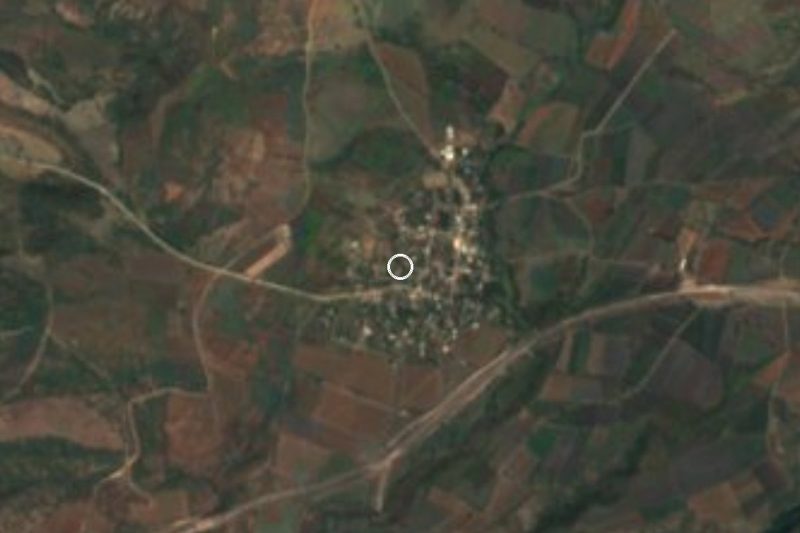
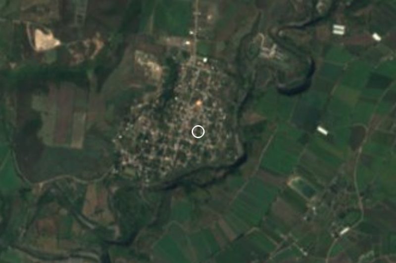

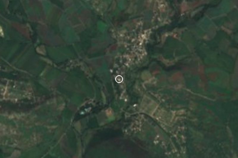





Drive times by road from OpenStreetMap, without traffic. Times marked ~ are estimated from the straight-line distance.
Location from OpenStreetMap. Written by Puebloteca.