

Village Ayala, Morelos Municipality of Ayala Southern Morelos
Ayala village built around a sugar hacienda founded in 1603, later owned by Porfirio Díaz's son-in-law; Santiago fiesta with the tecuanes dance.
From Cuautla: 20 min by car (13 km by road) How to get there ↓
Near here
See everything nearby ↓


Plan your visit to Tenextepango
Where to stay near Tenextepango
Compare hotels, posadas and guest houses in Tenextepango.
Tours to Tenextepango
Day trips and guided outings from Tlaltizapán often include Tenextepango; with a local guide you can get there without a car.
How to get to Tenextepango
- From Cuautla: about 20 min by road (~13 km)
- Nearest airport: Mexico City (MEX), 1 h 55 min by car to Tlaltizapán
Links open a partner site. We may earn a commission if you book, at no cost to you.
About Tenextepango
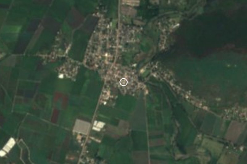
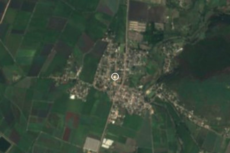
The name is Nahuatl for "place of lime walls": tenextli is lime, tepantli is wall and -co marks the spot, a nod to the valley ringed by hills where the village sits. It lies at roughly 1,150 metres in the municipality of Ayala and had 8,835 residents in 2020, which makes it the municipality's third-largest village.
Its story is that of a hacienda. In 1603 Nicolás Abad had a farming estate built that was called San Francisco Mapachtlán; around 1750 the villagers, backed by the estate owners and guided by the Dominicans, raised a church to San José, and the place came to be known as San José Mapachtlán. Later the Santiago Tenextepango estate passed through the hands of Mexico City merchants until the sugar magnate Isidoro de la Torre bought it in 1863. His son Ignacio de la Torre y Mier inherited it in 1881 at fifteen, married Amada Díaz, daughter of Porfirio Díaz, and ran one of the region's biggest cane producers, with some 16,000 hectares. Díaz is said to have spent winter stretches here for the climate. The mill was dynamited in 1913, during the Revolution; a photograph on Wikimedia Commons shows the narrow-gauge locomotives that hauled cane on the estate.
Today the village lives mostly off farming: there are more than 600 ejido members, seasonal labourers come from Guerrero, and others commute to the Cuautla industrial park. On 25 July it celebrates its patron, Santiago Apóstol, and the tecuanes dance is performed that day. The Zapatista Constancio Farfán was born here, and the former hacienda and the parish of Santiago Apóstol are among the sites the municipality of Ayala lists as attractions.
How to get to Tenextepango
Drive from Cuautla: 20 min, 13 km
From Cuautla it is about 11 km and 18 minutes by car. You leave south on city avenues (López Portillo, Juan Escutia), pick up the Tenextepango road and enter the village along Avenida Constancio Farfán, which ends at Avenida Emiliano Zapata; the road is paved and short. From the municipal seat, Ayala, it is about 8 km (13 min) on the Galeana–Cuautla road (MOR 4) and then the Cuautla–Tenextepango road.
To reach Cuautla from Mexico City, Pullman de Morelos and Estrella Roja Cuautla (TER) run buses from the Taxqueña terminal. From downtown Cuautla you continue by taxi or local transport; we found no published collectivo route or timetable for Tenextepango, so ask at the terminal.
Directions to Tenextepango on Google Maps
Distances are in a straight line; the road is usually longer.
Links open a partner site. We may earn a commission if you book, at no cost to you.
From the nearest cities to Tenextepango
- Cuautla · 13 km by road, 20 min
- Cuernavaca · 65 km by road, 1 h 5 min
- Atlixco · 78 km by road, 1 h 5 min
Drive times by road from OpenStreetMap, without traffic or stops. Times marked ~ are estimated from the straight-line distance.
Before you go to Tenextepango: hours, prices and tips
- Best season
- 25 July is the patron-saint fiesta of Santiago Apóstol, with the tecuanes dance. Wikipedia (es): Tenextepango · checked Oct 2026
Hours and prices change, especially around holidays. Each fact links to where we checked it.
Visiting Tenextepango: what to see and do
Parroquia de Santiago Apóstol, the village's patron-saint church
Remains of the former Tenextepango hacienda, the De la Torre y Mier family sugar mill
The 25 July fiesta, with the tecuanes dance
Farmland across the valley, ringed by hills
Plan your trip
Places to stay in Tenextepango
Compare hotels, posadas, and rentals in and around Tenextepango.
Tours & activities
Day trips and guided outings from Tlaltizapán often include Tenextepango; with a local guide you can get there without a car.
Rental cars
Pick up a car at MEX (Mexico City): about 1 h 55 min by road to Tlaltizapán, then 20 km more to Tenextepango, on your own schedule.
Flights
The nearest airport with scheduled flights is Mexico City (MEX), about 1 h 55 min by road from Tlaltizapán, the base for Tenextepango.
Mobile data
Signal can drop away from Tlaltizapán: download a map of the way to Tenextepango before you set out, or carry an eSIM with data.
Links open a partner site. We may earn a commission if you book, at no cost to you.
When to go to Tenextepango warm
Tenextepango shares the climate of Tlaltizapán, 20 km away. The best months to visit are January, October, November, and December.
See the month-by-month climate of Tlaltizapán
Weather in Tenextepango now and the next 7 days
Live forecast from Open-Meteo. Chance of rain is the day's highest.
The closest Pueblo Mágico: Tlaltizapán

Tlaltizapán is the Pueblo Mágico closest to Tenextepango, with places to stay, food, and more to see.
Also close to
- Tlayacapan · Morelos · 25 km away
- Tepoztlán · Morelos · 32 km away
- Xochitepec · Morelos · 38 km away
- Atlixco · Puebla · 59 km away
- Malinalco · Estado de México · 62 km away
Closest to Tenextepango
-
Constancio Farfán · Village · 2 km away
-
Abelardo L. Rodríguez · Village · 3 km away
-
Olintepec · Village · 3 km away
-
San Juan Ahuehueyo · Village · 3 km away
-
Zona Arqueológica de Olintepec · Archaeological site · 3 km away
-
Balneario "El Axocochetl" · Hot springs · 4 km away
-
Benito Juárez · Village · 4 km away
-
Moyotepec · Village · 4 km away
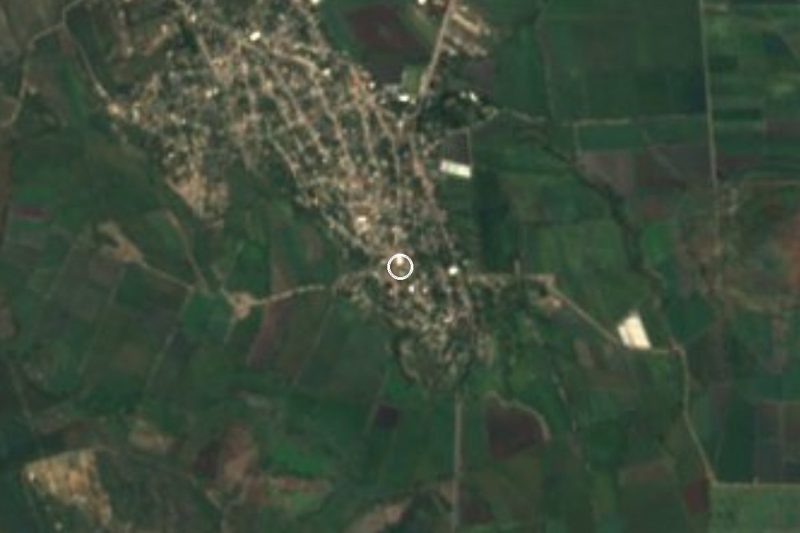
Near Tenextepango


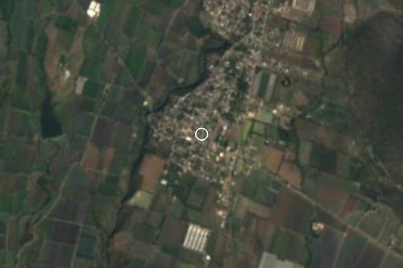




Drive times by road from OpenStreetMap, without traffic. Times marked ~ are estimated from the straight-line distance.
Location from OpenStreetMap. Written by Puebloteca.