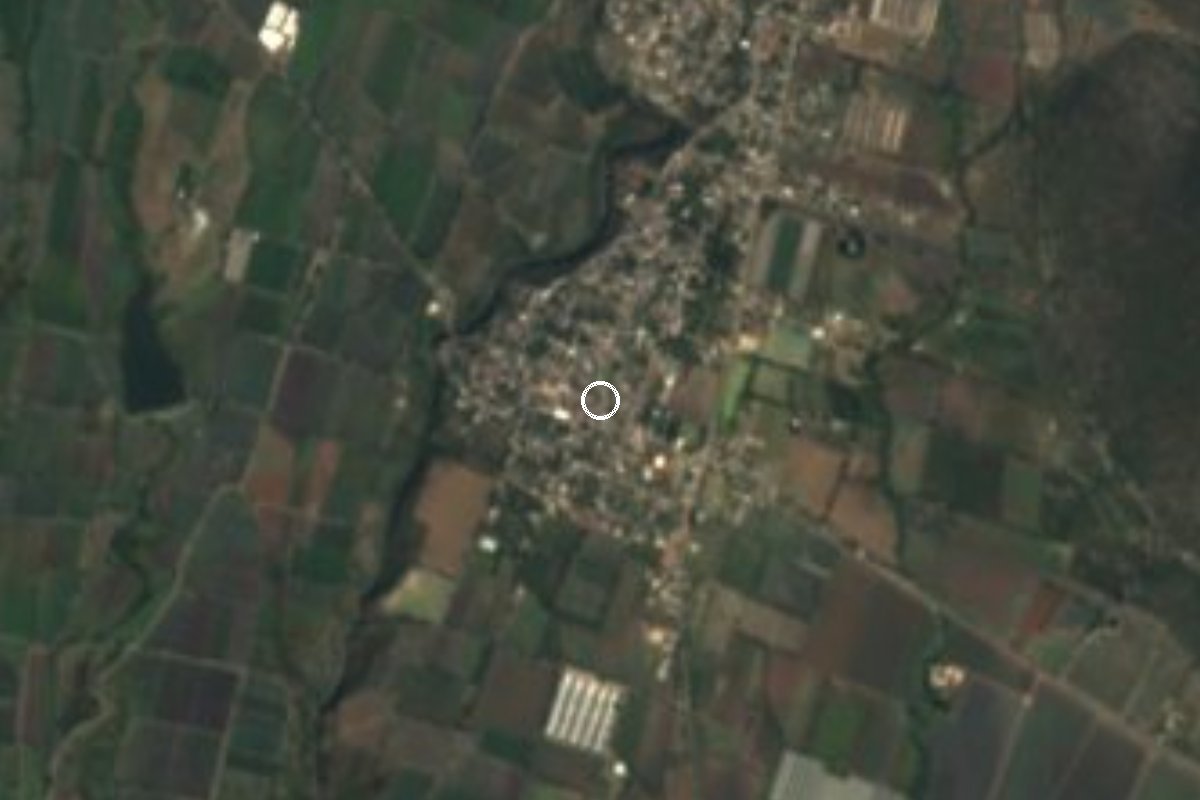
Village Ayala, Morelos Municipality of Ayala
Village in Ayala with 4,026 people in 2020, part of the Cuautla metropolitan area; its Nahuatl name means place of the sand caves.
From Cuautla: 20 min by car (17 km by road) How to get there ↓
Near here
See everything nearby ↓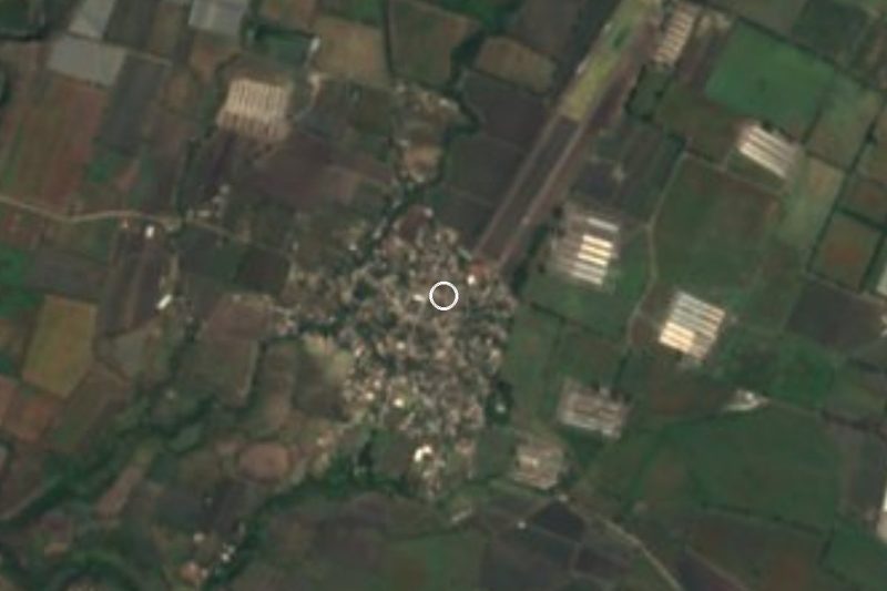

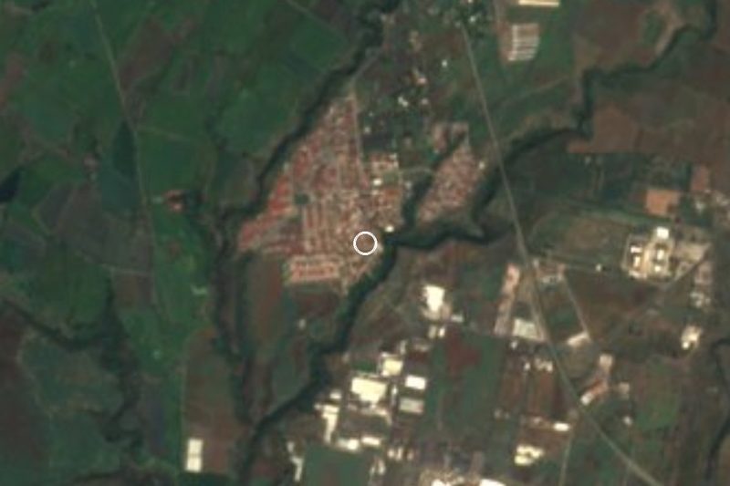
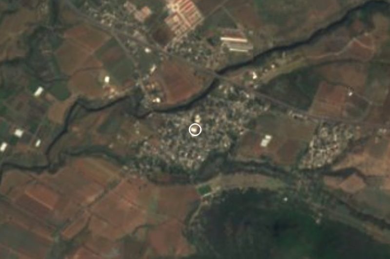

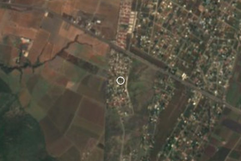
Plan your visit to Jaloxtoc
Where to stay near Jaloxtoc
Compare hotels, posadas and guest houses in Jaloxtoc.
Tours to Jaloxtoc
Day trips and guided outings from Tlaltizapán often include Jaloxtoc; with a local guide you can get there without a car.
 Tours from Cuernavaca
3hr Cooking Class in Cuernavaca 8 Recipes and Bottomless Drinks
From US$59
How to get to Jaloxtoc
- From Cuautla: about 20 min by road (~17 km)
- Nearest airport: Mexico City (MEX), 1 h 55 min by car to Tlaltizapán
Links open a partner site. We may earn a commission if you book, at no cost to you.
Tours from Cuernavaca, near Jaloxtoc


Tours, prices and ratings from Viator, checked weekly. We may earn a commission if you book.
About Jaloxtoc
Jaloxtoc has grown up against Cuautla, Morelos's second city. Its name, from Nahuatl xalli (sand), oztotl (cave) and the place suffix co, is read as "place of the sand caves". The 2020 census counted 4,026 people, 1,979 men and 2,047 women; in 1900 there were 566, and the jump came mostly after 1960, when it had 871 residents, passing 2,700 by 1990 and 3,500 by 2010. INEGI counts it inside the Cuautla agglomeration and metropolitan area, and Wikipedia gives its elevation as about 1,250 m, in the municipality of Ayala.
In the 2020 census 2,552 people said they were Catholic, 1,015 Protestant or evangelical and 456 had no religion, and a local church directory lists evangelical and Adventist temples in the village. The municipality of Ayala lives from farming (onion, sugarcane, corn, sorghum, rice and vegetables, according to its Wikipedia article) and from its spa resorts; Jaloxtoc lies south of Cuautla, in that area.
It is not a tourist destination and has no catalogued monuments. Its interest for a traveller is as a working Morelos village a few minutes from the city, and as a stop on a drive through the east of the state.
How to get to Jaloxtoc
Drive from Cuautla: 20 min, 17 km
Jaloxtoc lies south-southeast of Cuautla, about 13 km in a straight line (roughly 15 to 25 minutes by car, depending on traffic in the built-up area). From central Cuautla take the exit toward Ayala and follow local roads southeast; let an online map guide the last stretch, because We did not find a highway number for it. From Mexico City, the usual route is the Mexico-Cuernavaca highway to La Pera and then the La Pera-Cuautla toll road (160D, 34 km, ending in Cuautla where it meets highways 115 and 160); from there it is another 15 to 20 minutes.
By public transport, intercity buses arrive at the Cuautla terminal, and combis and colectivos to Ayala and its villages leave from the centre; ask for the Jaloxtoc route sign at the stop, since We could not confirm the line's name or timetable. Taxis and ride-hailing from Cuautla also work: Uber lists Cuautla-Jaloxtoc among its popular routes. The nearest pueblo in our guide, Tlaltizapán, is about 26 km away in a straight line (about 30 minutes).
Directions to Jaloxtoc on Google Maps
Distances are in a straight line; the road is usually longer.
Links open a partner site. We may earn a commission if you book, at no cost to you.
From the nearest cities to Jaloxtoc
- Cuautla · 17 km by road, 20 min
- Atlixco · 70 km by road, 55 min
- Cuernavaca · 68 km by road, 1 h
Drive times by road from OpenStreetMap, without traffic or stops. Times marked ~ are estimated from the straight-line distance.
Visiting Jaloxtoc: what to see and do
Walk the village streets and look at the irrigated fields around it, part of Ayala's farming belt.
Notice the village's churches, including evangelical and Adventist ones, which mirror the religious split in the 2020 census.
Ask about the sand caves in the name: it is a Nahuatl clue, not a signed attraction.
Stop here on the way to Ayala and its spa resorts.
Finish in Cuautla, a few minutes away, for lunch and its old centre.
Plan your trip
Places to stay in Jaloxtoc
Compare hotels, posadas, and rentals in and around Jaloxtoc.
Tours & activities
Day trips and guided outings from Tlaltizapán often include Jaloxtoc; with a local guide you can get there without a car.
Rental cars
Pick up a car at MEX (Mexico City): about 1 h 55 min by road to Tlaltizapán, then 26 km more to Jaloxtoc, on your own schedule.
Flights
The nearest airport with scheduled flights is Mexico City (MEX), about 1 h 55 min by road from Tlaltizapán, the base for Jaloxtoc.
Mobile data
Signal can drop away from Tlaltizapán: download a map of the way to Jaloxtoc before you set out, or carry an eSIM with data.
Links open a partner site. We may earn a commission if you book, at no cost to you.
When to go to Jaloxtoc warm
Jaloxtoc shares the climate of Tlaltizapán, 26 km away. The best months to visit are January, October, November, and December.
See the month-by-month climate of Tlaltizapán
Weather in Jaloxtoc now and the next 7 days
Live forecast from Open-Meteo. Chance of rain is the day's highest.
The closest Pueblo Mágico: Tlaltizapán

Tlaltizapán is the Pueblo Mágico closest to Jaloxtoc, with places to stay, food, and more to see.
Also close to
- Tlayacapan · Morelos · 28 km away
- Tepoztlán · Morelos · 36 km away
- Xochitepec · Morelos · 44 km away
- Atlixco · Puebla · 54 km away
- Malinalco · Estado de México · 68 km away
Closest to Jaloxtoc
-
Huitzililla · Village · 3 km away
-
San Juan Ahuehueyo · Village · 3 km away
-
Diez de Abril · Village · 4 km away
-
Tlayecac · Village · 5 km away
-
Constancio Farfán · Village · 6 km away
-
Mariano Matamoros · Village · 6 km away
-
Tenextepango · Village · 6 km away
-
Las Llaves · Village · 7 km away

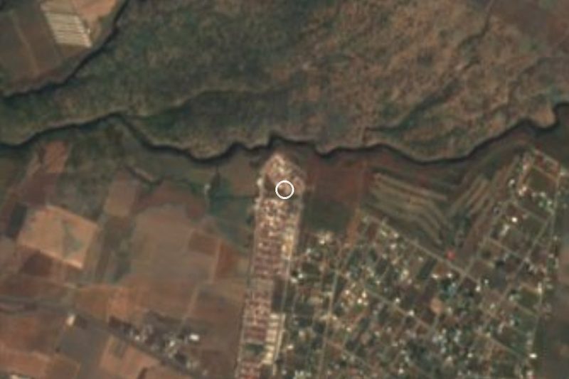
Near Jaloxtoc
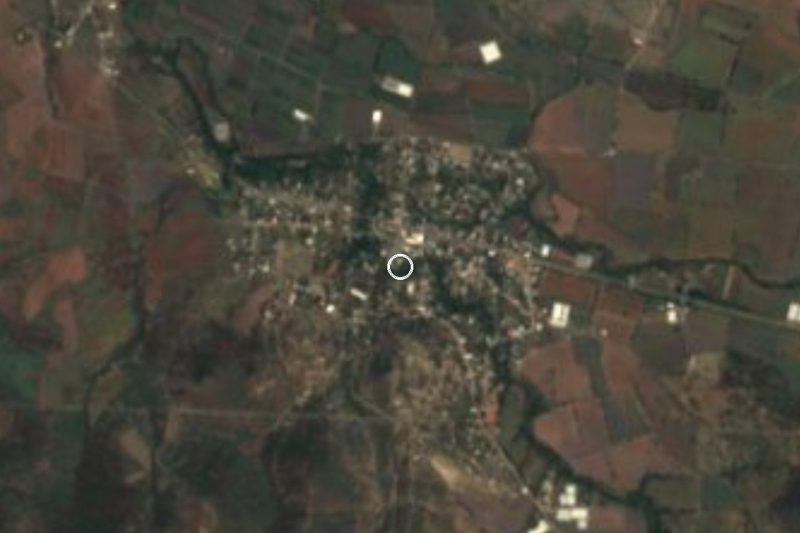

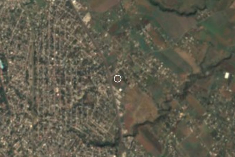

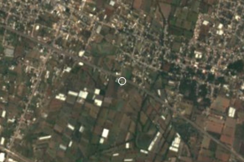
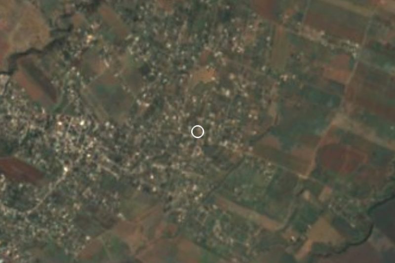
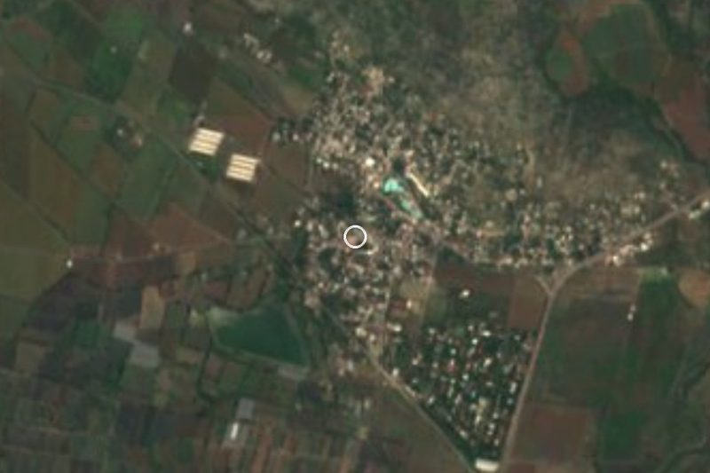



Drive times by road from OpenStreetMap, without traffic. Times marked ~ are estimated from the straight-line distance.
Location from OpenStreetMap. Written by Puebloteca.