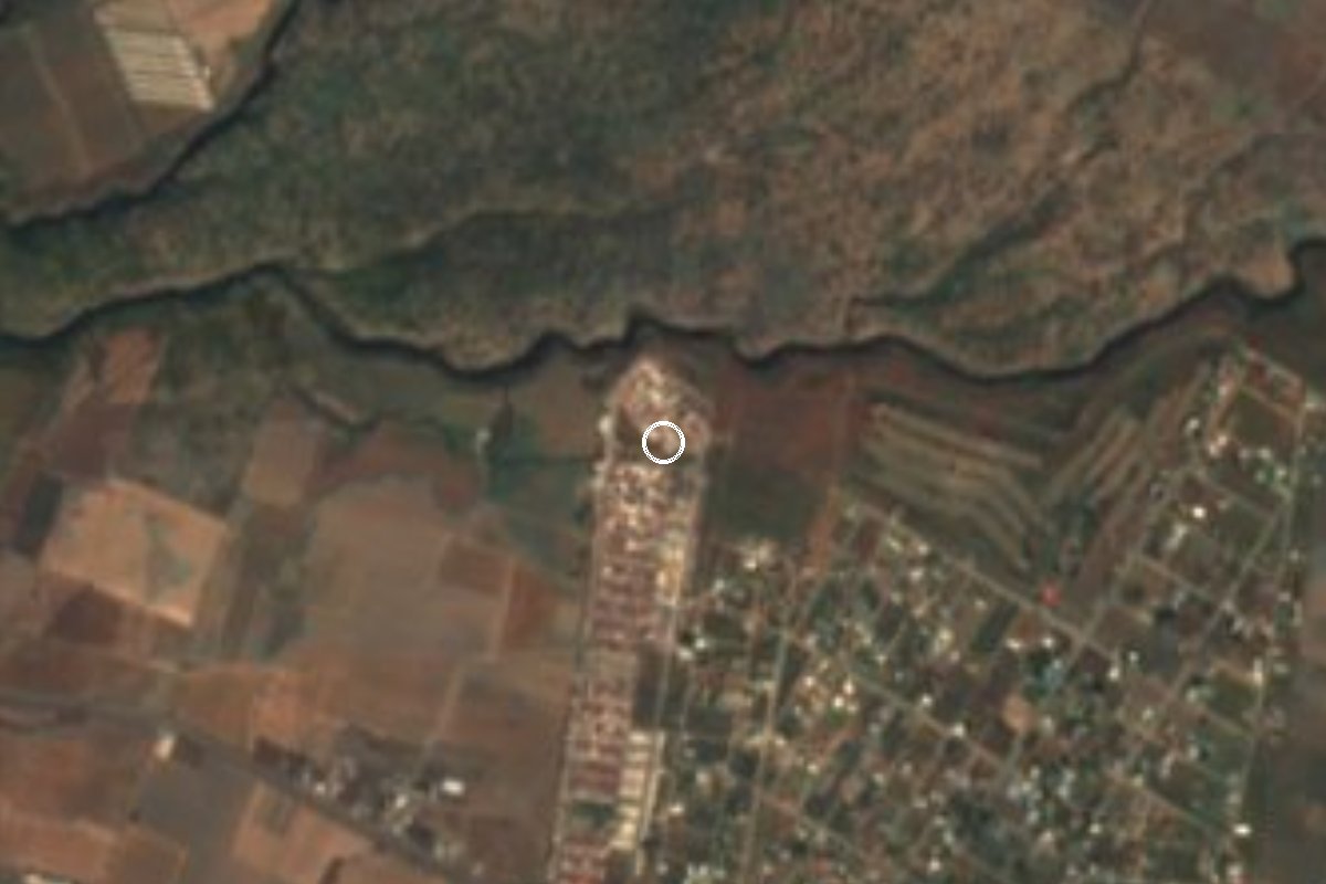
Village Ayala, Morelos Municipality of Ayala
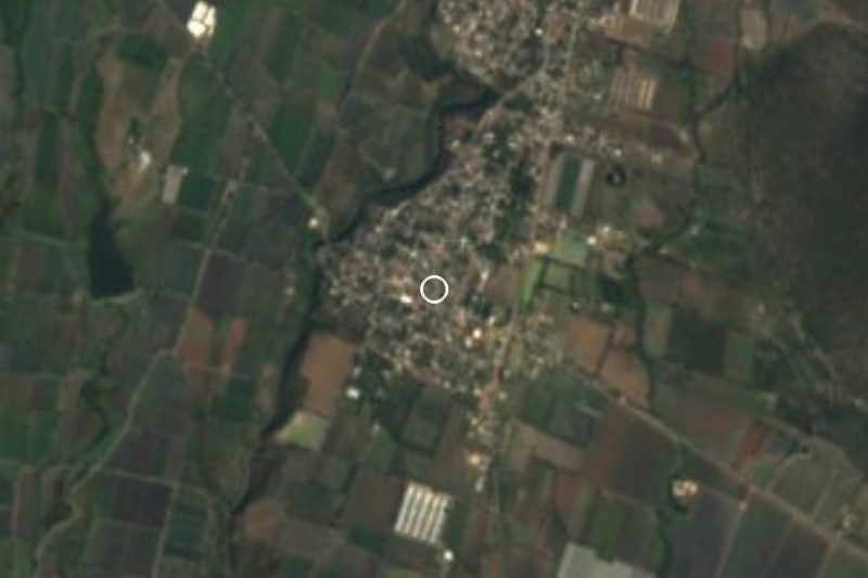
Locality in eastern Ayala, at 1,434 m and about 12 km from Ciudad Ayala; it grew from 289 residents in 2000 to 1,402 in 2020.
From Cuautla: 15 min by car (17 km by road) How to get there ↓
Near here
See everything nearby ↓


Plan your visit to Las Llaves
Where to stay near Las Llaves
Compare hotels, posadas and guest houses in Las Llaves.
Tours to Las Llaves
Day trips and guided outings from Tlayacapan often include Las Llaves; with a local guide you can get there without a car.
 Tours from Cuernavaca
3hr Cooking Class in Cuernavaca 8 Recipes and Bottomless Drinks
From US$59
How to get to Las Llaves
- From Cuautla: about 15 min by road (~17 km)
- Nearest airport: Mexico City (MEX), 1 h 33 min by car to Tlayacapan
Links open a partner site. We may earn a commission if you book, at no cost to you.
Tours from Cuernavaca, near Las Llaves


Tours, prices and ratings from Viator, checked weekly. We may earn a commission if you book.
About Las Llaves
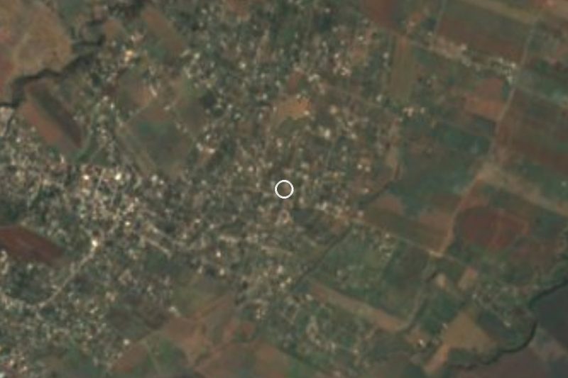
Few settlements in Ayala have grown as fast as Las Llaves. The 2000 census counted 289 people; there were 446 in 2005, 953 in 2010 and 1,402 in 2020. Nearly every home has electricity and piped water (over 98% in the 2020 data) and about half have internet, which points to a newly built-up area rather than an old hamlet. Sources put its altitude at 1,434 to 1,437 metres, noticeably higher than Ciudad Ayala, which sits around 1,150 to 1,230 m.
The village lies roughly 12 km east of Ciudad Ayala and 14 km east of San Pedro Apatlaco, near the eastern edge of the municipality. The climate is semi-arid, with a mean temperature near 21 °C and about 1,290 mm of rain a year. Work in the municipality is mostly agricultural, with sugarcane, maize, sorghum, rice and onions, plus livestock, and many residents work those fields or commute to jobs in the nearby cities.
The nearest reference is Cuautla, about 12 km away in a straight line, and Ciudad Ayala, itself about 6 km from Cuautla, which became the state capital in 1961 on the fiftieth anniversary of the Plan de Ayala. There is no lodging in the village; the closest listed option, Motel Rapid Inn, is about 6 km away. There are no monuments or tourist services: it is a place to see how a rural Morelos settlement is expanding.
How to get to Las Llaves
Drive from Cuautla: 15 min, 17 km
Las Llaves lies about 12 km east of Ciudad Ayala, about 14 km east of San Pedro Apatlaco and about 12 km in a straight line from Cuautla; by road the distance is greater, roughly 20 to 30 minutes by car from Cuautla. From central Cuautla, take the road south and east into Ayala municipality and finish on local roads; check the route on a phone map before leaving, since we found no official description of the last stretch.
From Mexico City the clearest plan is to go to Cuautla first: Estrella Roja de Cuautla runs Cuautla–Terminal Sur Taxqueña (about every two hours according to Rome2rio; confirm times). From the Cuautla terminal we found no documented line serving Las Llaves, so ask for combis toward Ayala or take a taxi. Coming from Cuernavaca, you would drop down to Cuautla by the federal road or the highway and make the same connection. There is no lodging in the village; Cuautla or Ciudad Ayala are the easier places to sleep.
Directions to Las Llaves on Google Maps
Distances are in a straight line; the road is usually longer.
Links open a partner site. We may earn a commission if you book, at no cost to you.
From the nearest cities to Las Llaves
- Cuautla · 17 km by road, 15 min
- Atlixco · 64 km by road, 50 min
- Cuernavaca · 67 km by road, 55 min
Drive times by road from OpenStreetMap, without traffic or stops. Times marked ~ are estimated from the straight-line distance.
Before you go to Las Llaves: hours, prices and tips
- Best season
- Semi-arid, mean temperature about 21 °C, around 1,290 mm of rain a year over some 213 rainy days. Pueblos de América · checked Oct 2026
Hours and prices change, especially around holidays. Each fact links to where we checked it.
Visiting Las Llaves: what to see and do
Walk the newer streets and see how fast the settlement has grown.
Look over the sugarcane, maize, sorghum and rice fields around it.
Visit the plaza of Ciudad Ayala, about 12 km west, the municipal seat.
Continue to Cuautla, about 12 km away, for markets, food and onward buses.
Ask in Ayala about the municipality's balnearios (swimming spots).
Plan your trip
Places to stay in Las Llaves
Compare hotels, posadas, and rentals in and around Las Llaves.
Tours & activities
Day trips and guided outings from Tlayacapan often include Las Llaves; with a local guide you can get there without a car.
Rental cars
Pick up a car at MEX (Mexico City): about 1 h 33 min by road to Tlayacapan, then 26 km more to Las Llaves, on your own schedule.
Flights
The nearest airport with scheduled flights is Mexico City (MEX), about 1 h 33 min by road from Tlayacapan, the base for Las Llaves.
Mobile data
Signal can drop away from Tlayacapan: download a map of the way to Las Llaves before you set out, or carry an eSIM with data.
Links open a partner site. We may earn a commission if you book, at no cost to you.
When to go to Las Llaves mild
Las Llaves shares the climate of Tlayacapan, 26 km away. The best months to visit are January, February, March, and December.
See the month-by-month climate of Tlayacapan
Weather in Las Llaves now and the next 7 days
Live forecast from Open-Meteo. Chance of rain is the day's highest.
The closest Pueblo Mágico: Tlayacapan

Tlayacapan is the Pueblo Mágico closest to Las Llaves, with places to stay, food, and more to see.
Also close to
- Tlaltizapán · Morelos · 32 km away
- Tepoztlán · Morelos · 36 km away
- Atlixco · Puebla · 48 km away
- Xochitepec · Morelos · 48 km away
- Huejotzingo · Puebla · 64 km away
Closest to Las Llaves
-
Mariano Matamoros · Village · 2 km away
-
Tlayecac · Village · 3 km away
-
Huexca · Village · 5 km away
-
Tecajec · Village · 6 km away
-
Amayuca · Village · 7 km away
-
Diez de Abril · Village · 7 km away
-
Jaloxtoc · Village · 7 km away
-
Mixtlalcingo · Village · 7 km away
Near Las Llaves

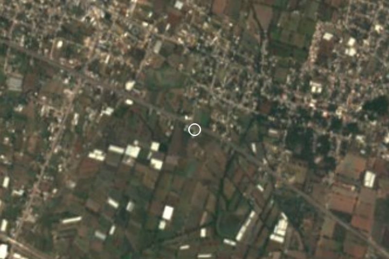




Drive times by road from OpenStreetMap, without traffic. Times marked ~ are estimated from the straight-line distance.
Location from OpenStreetMap. Written by Puebloteca.