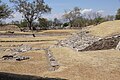


Village Jonacatepec, Morelos Municipality of Jonacatepec
Village in Jonacatepec at 1,362 m, 2 km from the seat; close to the Las Pilas archaeological site. 2,649 people in 2020.
From Cuautla: 25 min by car (26 km by road) How to get there ↓
Near here
See everything nearby ↓


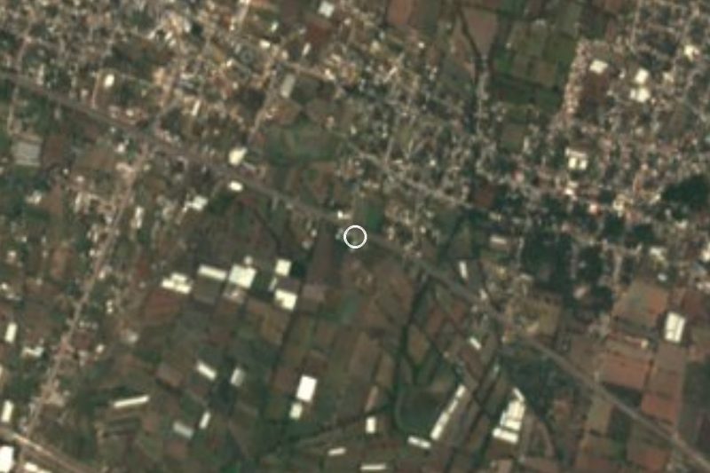


Plan your visit to Amacuitlapilco
Where to stay near Amacuitlapilco
Compare hotels, posadas and guest houses in Amacuitlapilco.
Tours to Amacuitlapilco
Day trips and guided outings from Tlayacapan often include Amacuitlapilco; with a local guide you can get there without a car.
 Tours from Atlixco
Atlixco Volcano Views Popocatépetl Tour Forest Route
From US$108
How to get to Amacuitlapilco
- From Cuautla: about 25 min by road (~26 km)
- Nearest airport: Mexico City (MEX), 1 h 33 min by car to Tlayacapan
Links open a partner site. We may earn a commission if you book, at no cost to you.
Tours from Atlixco, near Amacuitlapilco
Tours, prices and ratings from Viator, checked weekly. We may earn a commission if you book.
About Amacuitlapilco
In the nook of the amate trees: that is what Amacuitlapilco means, from the Nahuatl amatl, the amate fig, and cuitlapilco, a corner or bend. It is a locality in the municipality of Jonacatepec, at 1,362 metres, about 2 km from the municipal seat, with 2,649 people in 2020, the third largest of the municipality's 33 localities. It had 607 residents in 1900; today it has around 700 homes.
The place is old. A church inventory from the ADABI archive lists Amacuitlapilco among the nine dependent villages (visitas) of the Augustinian convent of Jonacatepec in 1571, and in 1746, when the district was split into two parishes, it still appeared as a visita of the Jonacatepec one.
A few kilometres away is Las Pilas, an INAH archaeological site in the Amilpas valley: a ceremonial centre built among springs, with platforms and water channels from the Teotihuacan period. Amayuca, the nearest large town, is about 3.4 km west, and Jonacatepec, the municipal seat, about 2 km away.
There are no hotels in the village; the closest are in Jonacatepec. The village takes little time to see, so it fits best on the way to Las Pilas or as part of a loop around eastern Morelos.
How to get to Amacuitlapilco
Drive from Cuautla: 25 min, 26 km
Amacuitlapilco is in eastern Morelos, about 2 km from Jonacatepec. From Cuautla, take federal highway 160 toward Izúcar de Matamoros; INAH uses that road's Amayuca junction as its reference for reaching Las Pilas, in this same area. The village is about 2 km from Jonacatepec (approx., straight line). By road Cuautla and Jonacatepec are about 23 km apart.
By public transport, Rome2Rio lists an hourly bus from Cuautla to Jonacatepec operated by Volcanes, about 40 minutes with fares of 16 to 35 pesos (confirm schedules before you go). From Jonacatepec to Amacuitlapilco it is about 2 km; we found no fixed colectivo, so count on a local taxi or a walk. From Cuernavaca or Mexico City, the usual plan is to go to Cuautla and change buses there.
Directions to Amacuitlapilco on Google Maps
Distances are in a straight line; the road is usually longer.
Links open a partner site. We may earn a commission if you book, at no cost to you.
From the nearest cities to Amacuitlapilco
- Cuautla · 26 km by road, 25 min
- Atlixco · 57 km by road, 50 min
- Cuernavaca · 77 km by road, 1 h 5 min
Drive times by road from OpenStreetMap, without traffic or stops. Times marked ~ are estimated from the straight-line distance.
Visiting Amacuitlapilco: what to see and do
Visit the Las Pilas archaeological site, a ceremonial centre with platforms and water channels.
Walk Avenida Cuautla and Calle Benito Juárez, two of the village streets.
Go on to Jonacatepec, about 2 km away, for a meal and to continue the route.
Continue to Amayuca, about 3.4 km to the west.
Remember what the name means: the nook of the amate trees.
Plan your trip
Places to stay in Amacuitlapilco
Compare hotels, posadas, and rentals in and around Amacuitlapilco.
Tours & activities
Day trips and guided outings from Tlayacapan often include Amacuitlapilco; with a local guide you can get there without a car.
Rental cars
Pick up a car at MEX (Mexico City): about 1 h 33 min by road to Tlayacapan, then 34 km more to Amacuitlapilco, on your own schedule.
Flights
The nearest airport with scheduled flights is Mexico City (MEX), about 1 h 33 min by road from Tlayacapan, the base for Amacuitlapilco.
Mobile data
Signal can drop away from Tlayacapan: download a map of the way to Amacuitlapilco before you set out, or carry an eSIM with data.
Links open a partner site. We may earn a commission if you book, at no cost to you.
Photos
When to go to Amacuitlapilco mild
Amacuitlapilco shares the climate of Tlayacapan, 34 km away. The best months to visit are January, February, March, and December.
See the month-by-month climate of Tlayacapan
Weather in Amacuitlapilco now and the next 7 days
Live forecast from Open-Meteo. Chance of rain is the day's highest.
The closest Pueblo Mágico: Tlayacapan

Tlayacapan is the Pueblo Mágico closest to Amacuitlapilco, with places to stay, food, and more to see.
Also close to
- Tlaltizapán · Morelos · 35 km away
- Tepoztlán · Morelos · 44 km away
- Atlixco · Puebla · 47 km away
- Xochitepec · Morelos · 53 km away
- Huejotzingo · Puebla · 67 km away
Closest to Amacuitlapilco
-
Jonacatepec · Town · 2 km away
-
Zona Arqueológica Las Pilas · Archaeological site · 2 km away
-
Amayuca · Village · 3 km away
-
Balneario Acueducto · Hot springs · 3 km away
-
Chalcatzingo · Archaeological site · 4 km away
-
Jantetelco · Village · 4 km away
-
Atotonilco · Village · 6 km away
-
Amilcingo · Village · 7 km away
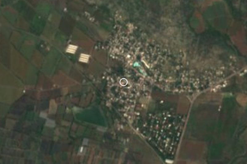

Near Amacuitlapilco

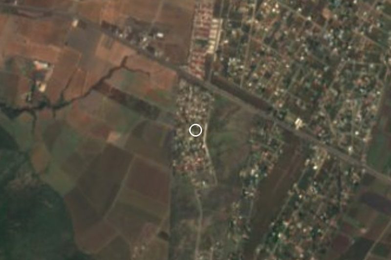
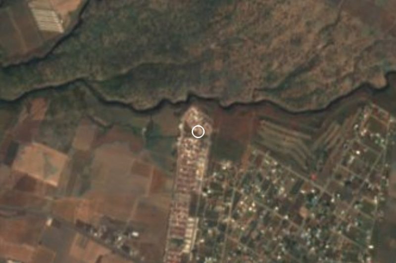
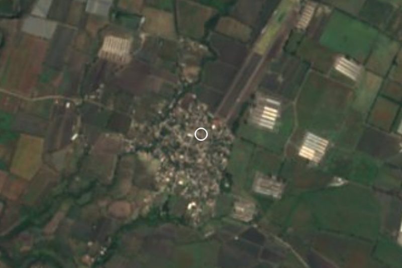


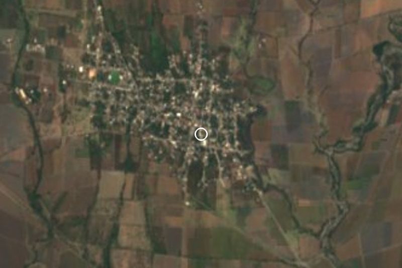

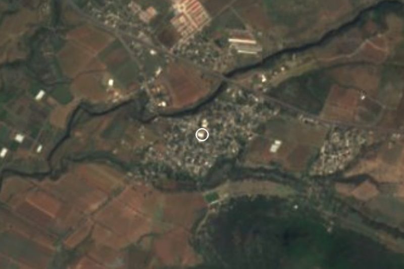
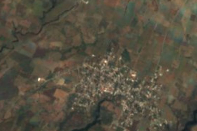

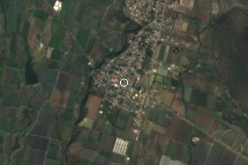
Drive times by road from OpenStreetMap, without traffic. Times marked ~ are estimated from the straight-line distance.
Location from OpenStreetMap. Written by Puebloteca.